
Yahoo Falls, Yahoo Arch, Markers Arch, and Alum Ford Loop
/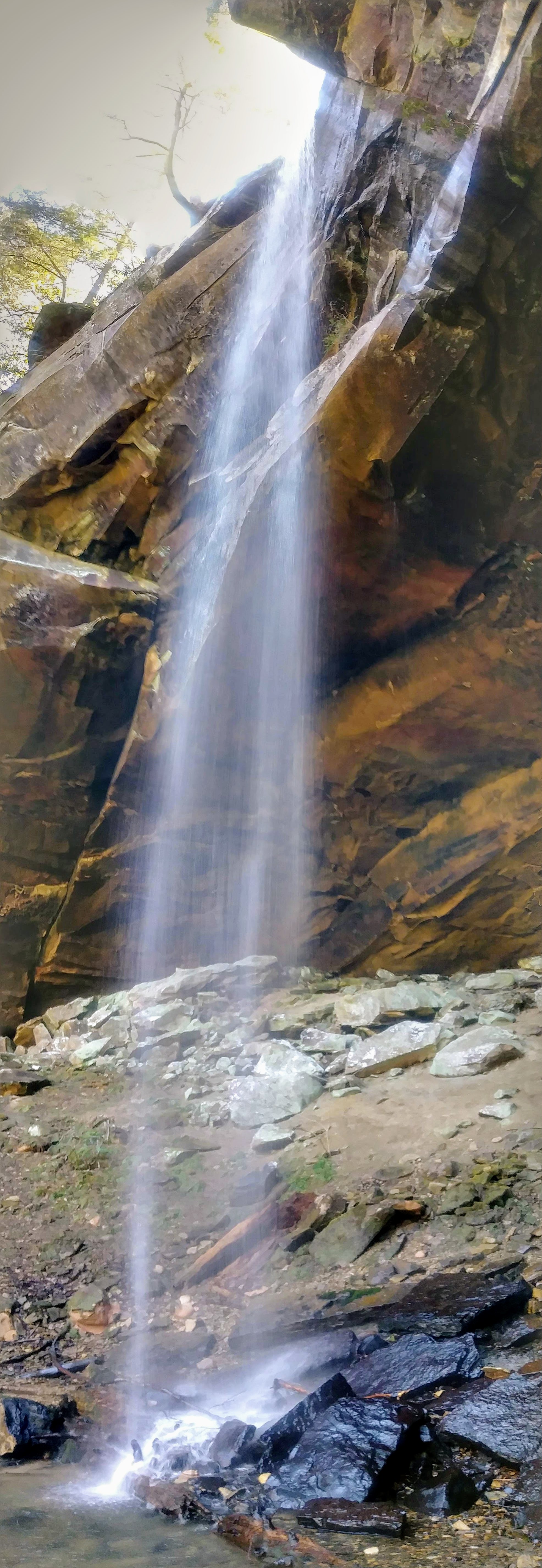
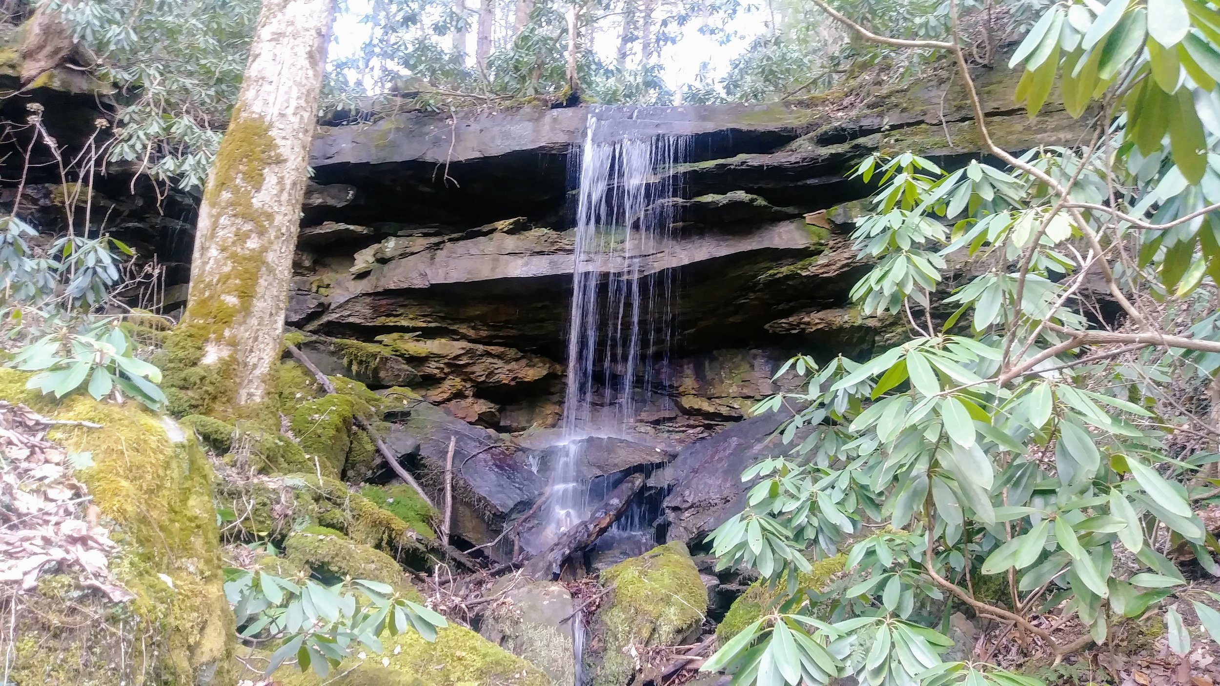
Yahoo Falls - the tallest waterfall in Kentucky.
Overview. This is one of the great hikes that Big South Fork has to offer. You'll enjoy seeing the Commonwealth's tallest waterfall, Yahoo Falls, and two classic arches - Yahoo and Markers. Plus, the walk along Negro Creek is quiet and offers greater solitude than the busy area around Yahoo Falls and Arch. This is a great hike any time of year, but Spring is particularly nice with a number of other waterfalls along the way.
Route Type | Loop
Total Distance | 11 miles
Overall Difficulty | Moderate
Yahoo Arch Trail Map - USDA Forest Service
Negro Creek Trail Map - USDA Forest Service
Sheltowee Trace Section 33 Trail Map - USDA Forest Service
Trailhead. From US 27, turn west onto KY 700. Follow this road until you see Yahoo Falls Recreation Area on your right. Continue on Yahoo Falls Road until you arrive at the parking lot near the trailhead. [map]
Trail navigation. This is a clockwise loop with few intersecting trails. There are two points where you may lose the trail. First in the Yahoo Falls area where a circuit of trails (not well detailed on Forest Service maps) surround Yahoo Falls. After leaving the trailhead for Yahoo Falls, take a left and descend a metal staircase that will lead you east to Yahoo Falls. From there, you can ascend toward Yahoo Arch through a series of switchbacks. You'll see an intersection that is marked, and you can choose to hike to the top of the falls (right) or continue on to Yahoo Arch (left).
The second somewhat tricky intersection is just past Markers Arch on KY 700. Head west when you meet KY 700 until you reach a Forest Service road a few dozen paces away. You'll see a white diamond blaze that marks Negro Creek Trail that winds down into Big South Fork. At the end of Negro Creek Trail, you'll connect with Sheltowee Trace. Head north (right) to finish the loop back to the Yahoo Falls/Arch trailhead.
CAUTION. Daniel Boone National Forest is bear country. Be sure to follow all bear safety precautions. I noted that Alum Ford Campground (found at the end of KY 700) had bear boxes for food storage in addition to bear-proof trash bins. It was great to see these welcome additions, as they help keep both humans and bears safer.

Map of Yahoo Falls, Yahoo Arch, Makers Arch, and Alum Ford Loop

Elevation profile of Yahoo Falls, Yahoo Arch, Makers Arch, and Alum Ford Loop

Welcome sign outside the Stearns Ranger Station.
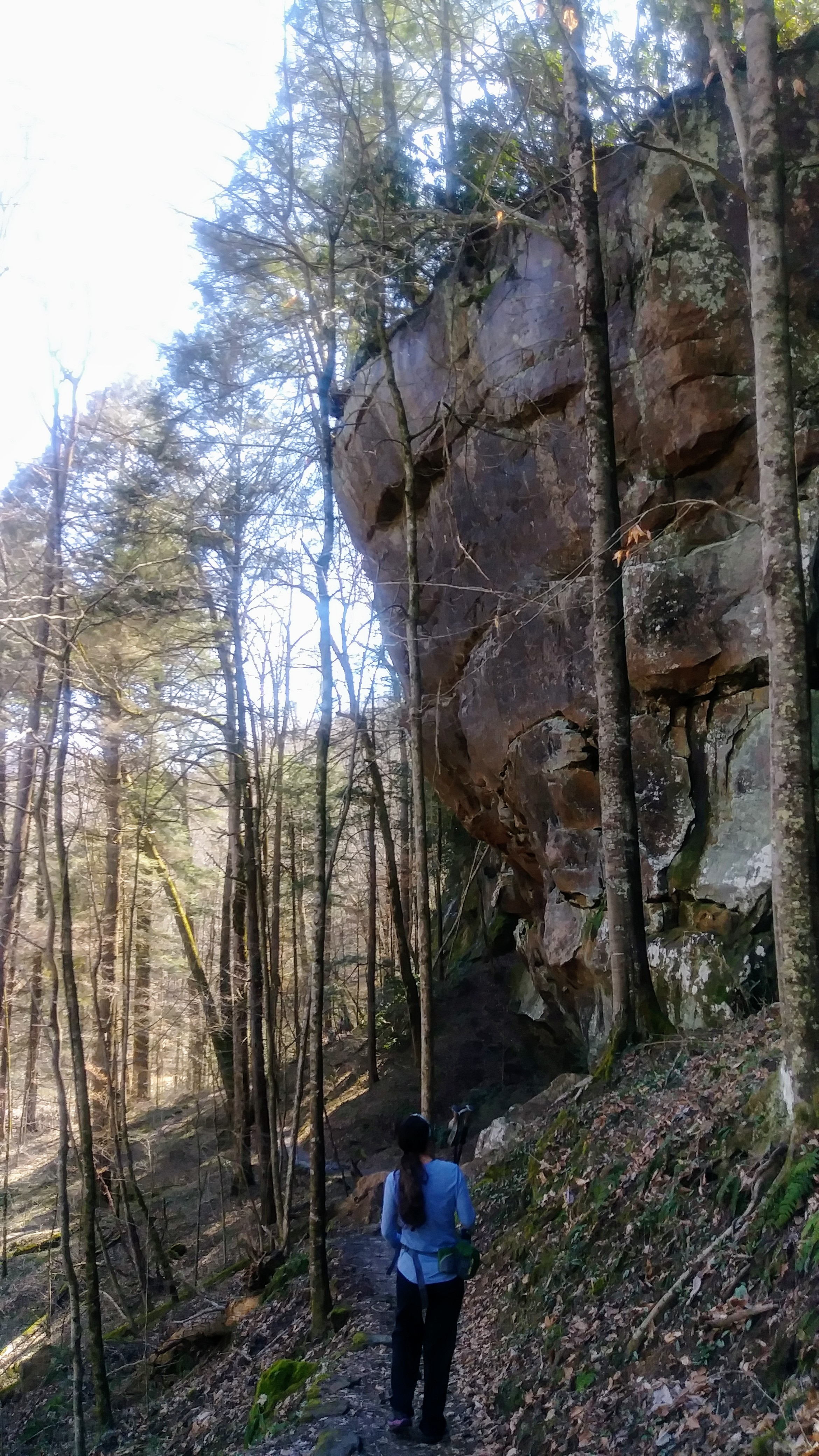
Checking out rock walls on our way down to Yahoo Falls.

Looking up at the top of Yahoo Falls.

The innocent view from the top of Yahoo Falls - careful with the kids here!
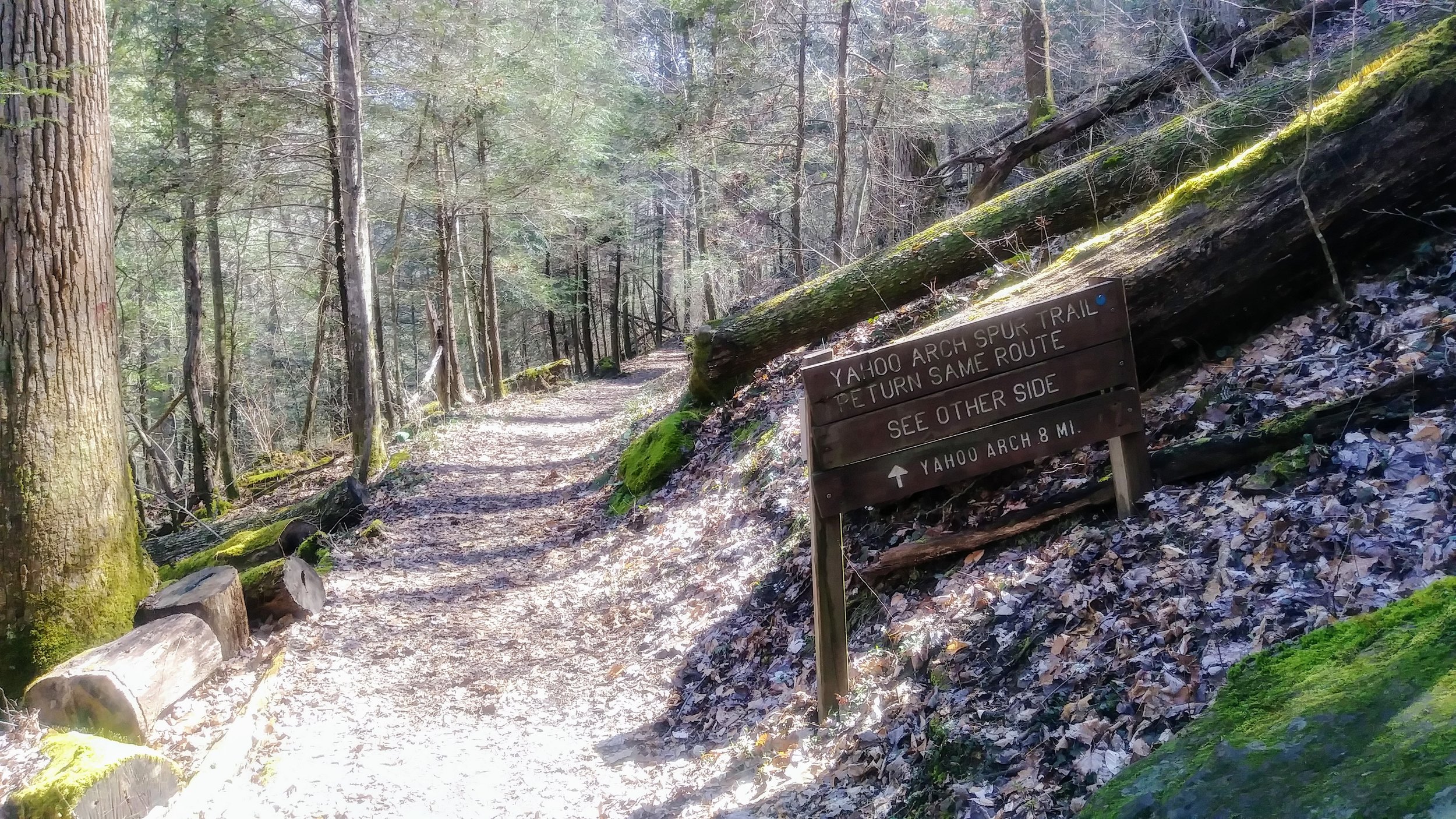
Trail signs to Yahoo Arch - only 0.8 miles away from the falls.

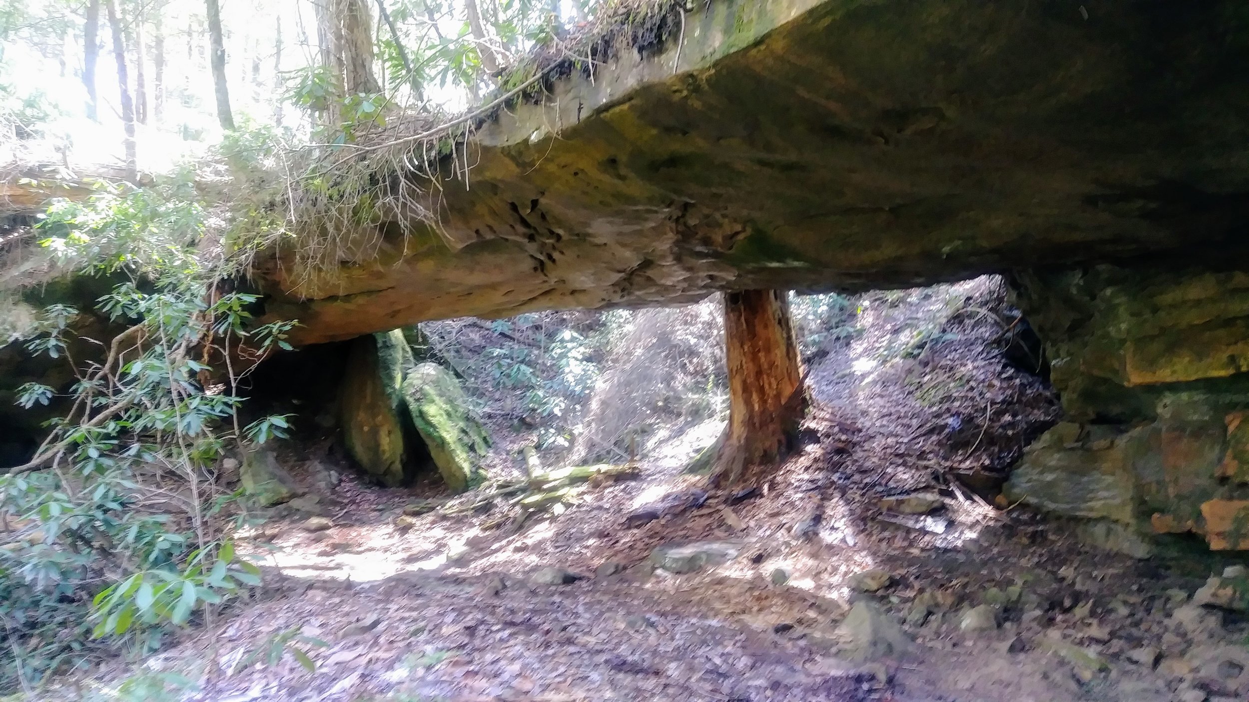
Yahoo Arch from below.
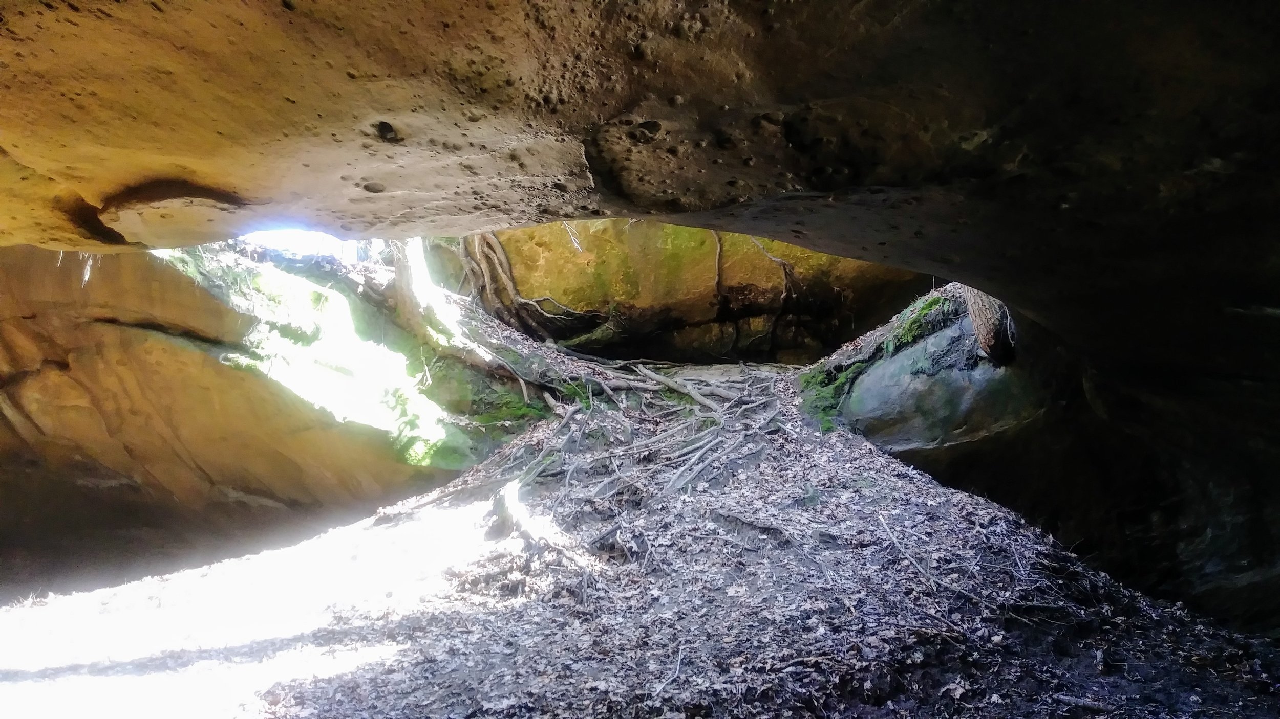
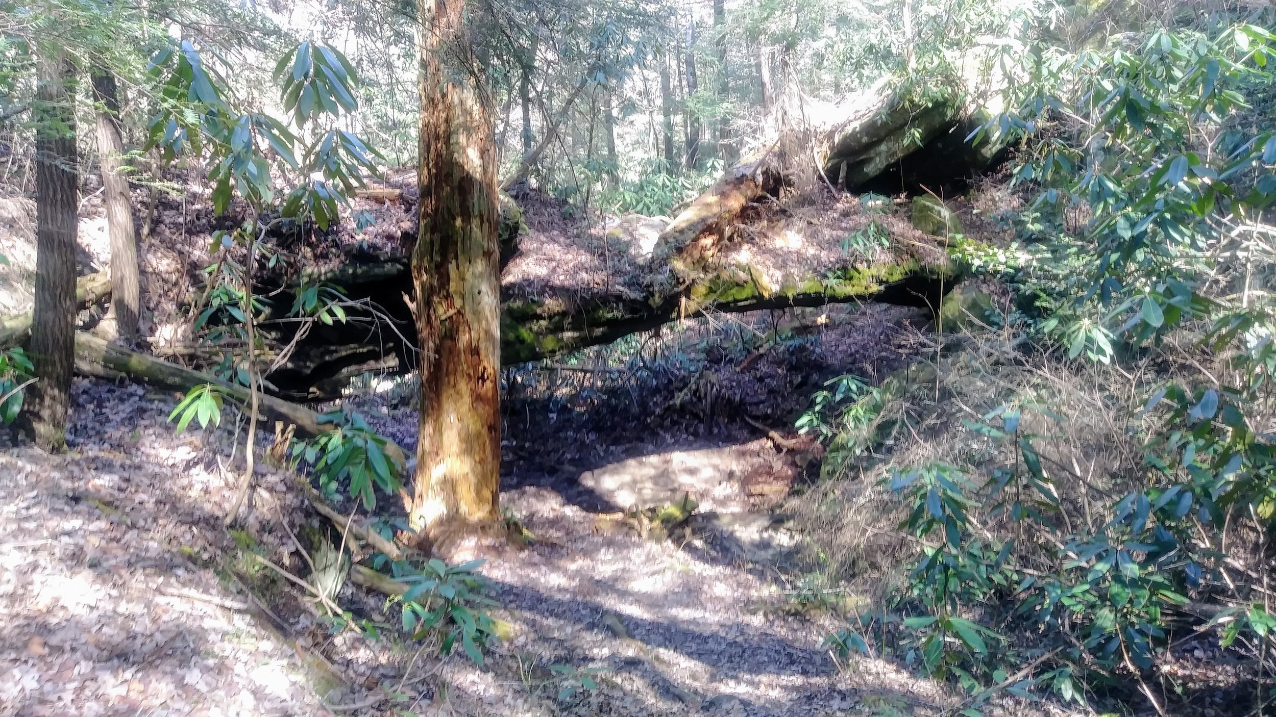
A view of higher ground from underneath Yahoo Arch.
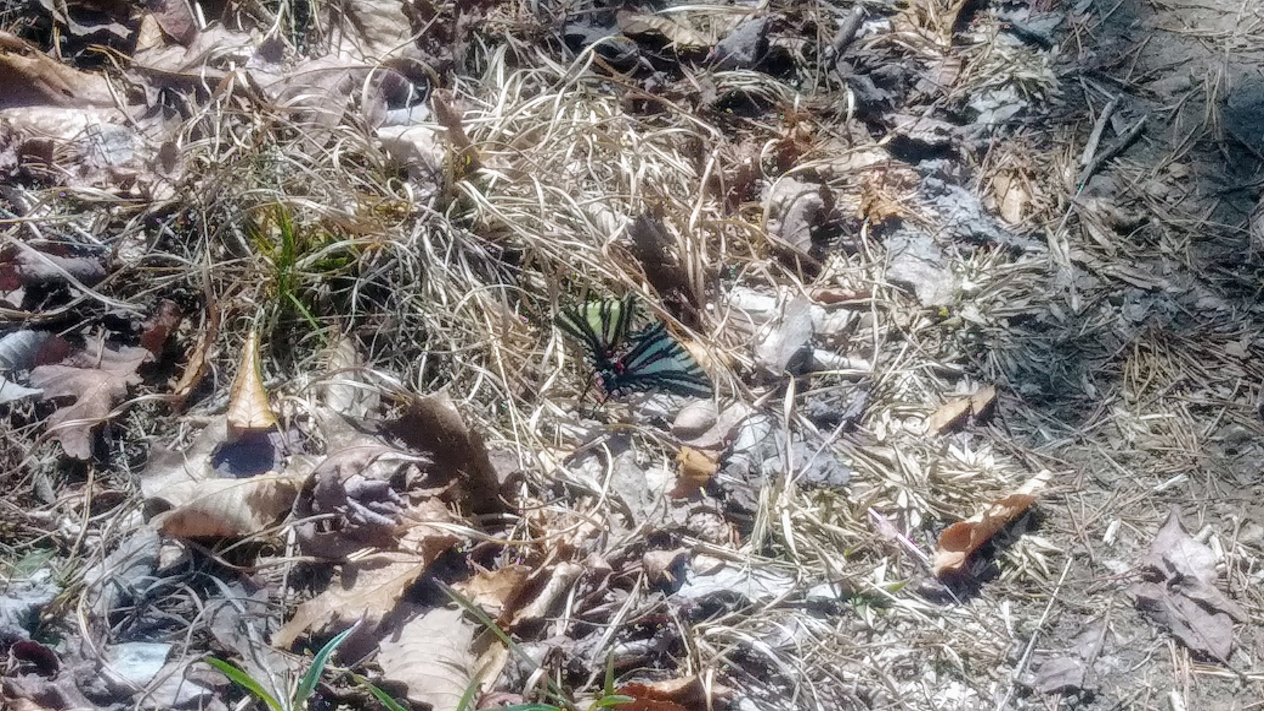
A pair of swallowtails gettin' busy.
Markers Arch from above.
Markers Arch from below.
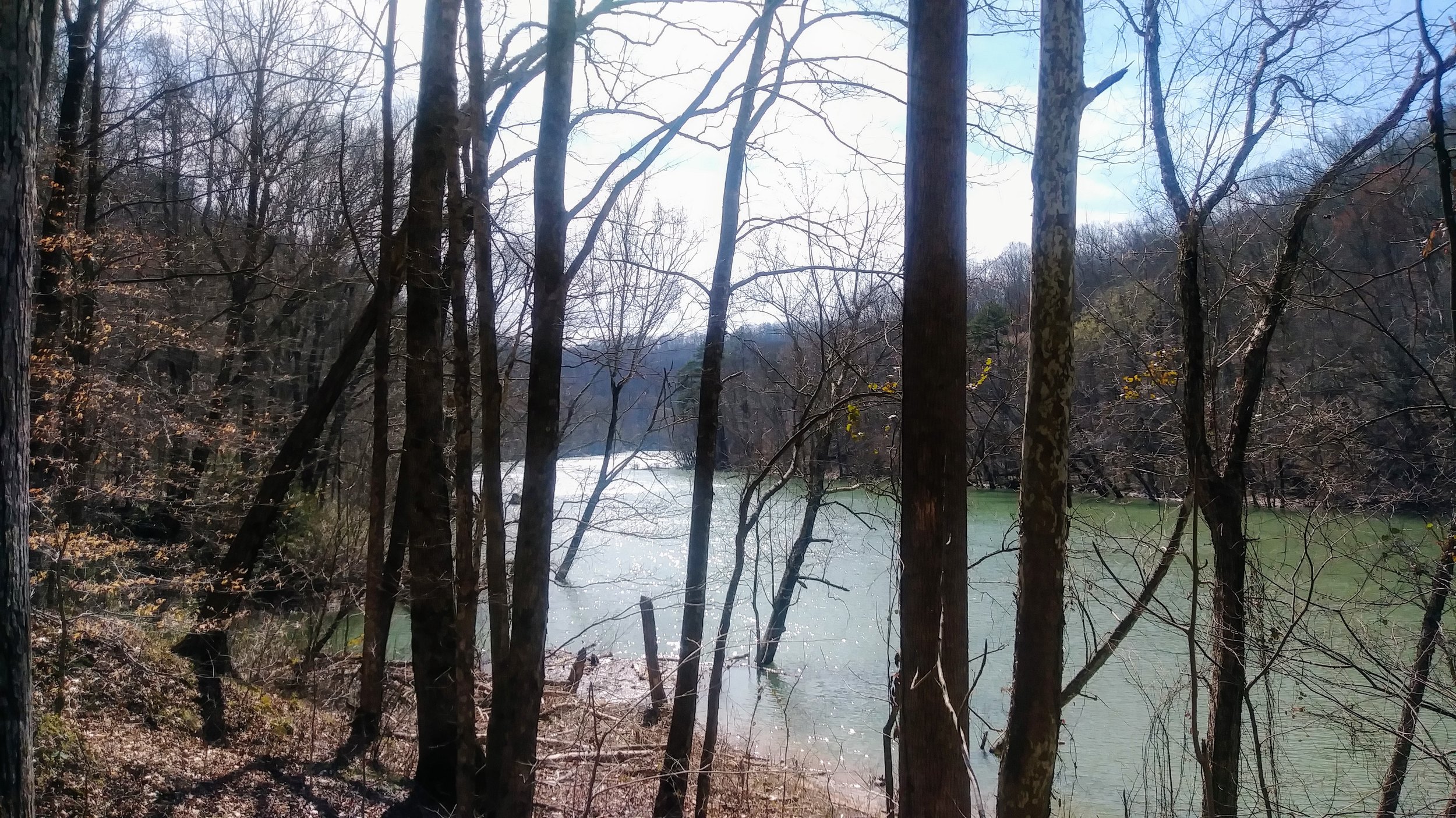
Looking out at Big South Fork from Sheltowee Trace.

Trillium? about to open.
Another waterfall along Sheltowee Trace.