Berea Pinnacles - Indian Fort Mountain
/
Indian Fort Mountain Map from Berea College (download link in overview section)
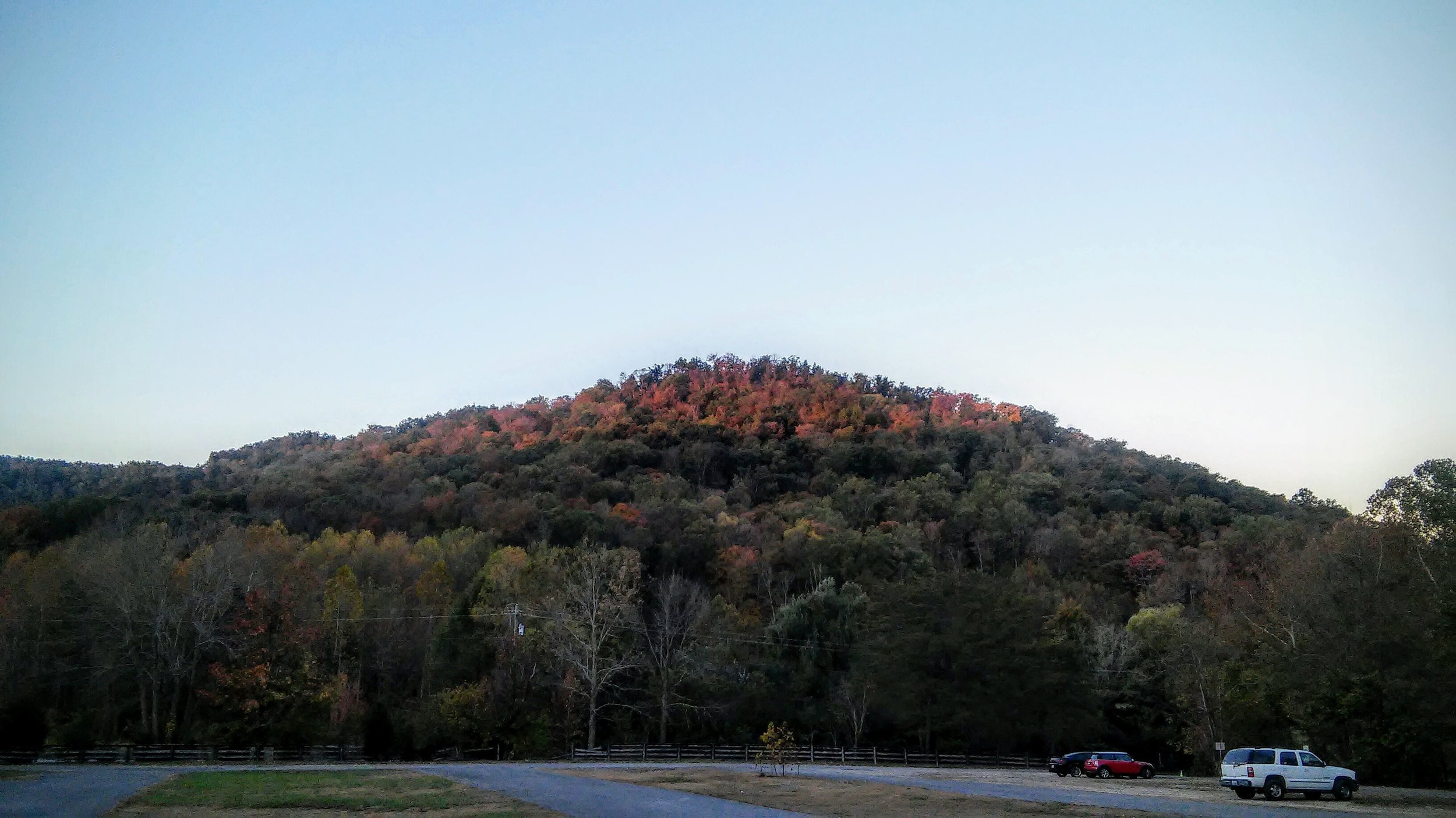
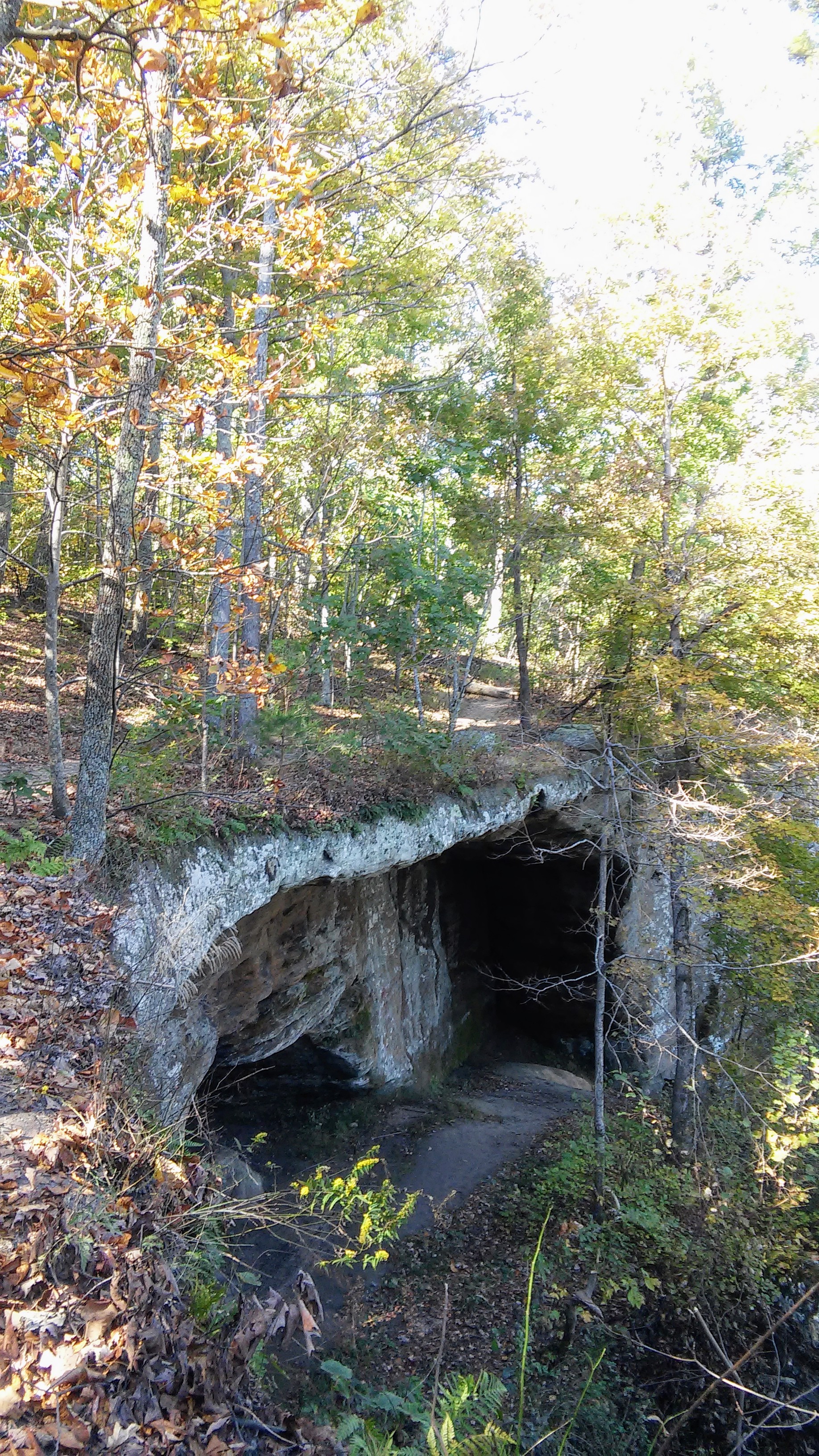
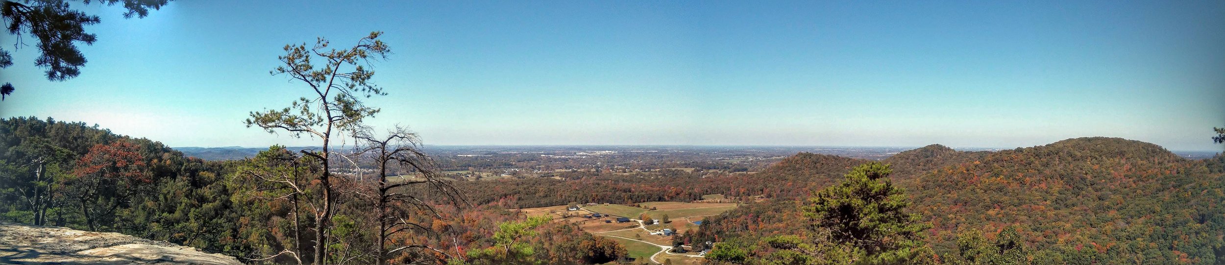
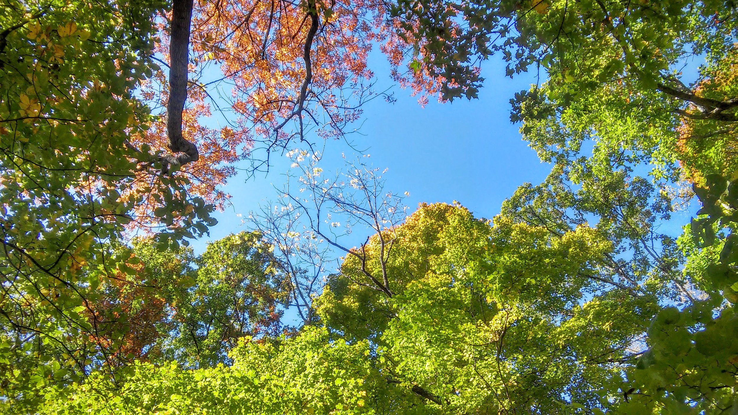
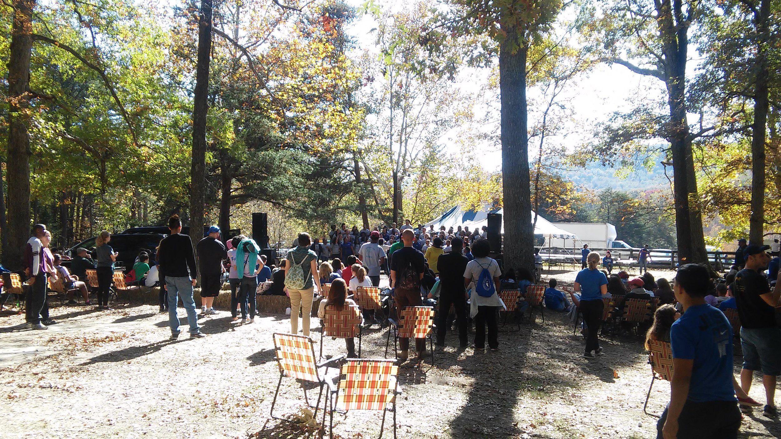
Overview. The pinnacles of Berea sit atop Indian Fort Mountain just south of town. It’s a private forest owned by the college and is a terrific day hiking destination with expansive views, interesting geology, and every October, it’s Mountain Day - a day when the college is closed and students are encouraged to get outside.
Route Type | All of It Loop
Total Distance | 10+ miles before GPS crapped out
Overall Difficulty | Moderate with a Strenuous Climb
Indian Fort Mountain Map from Berea College
Trailhead. The main trailhead is just off KY-21 southeast of Berea and plenty of parking is available. [map]
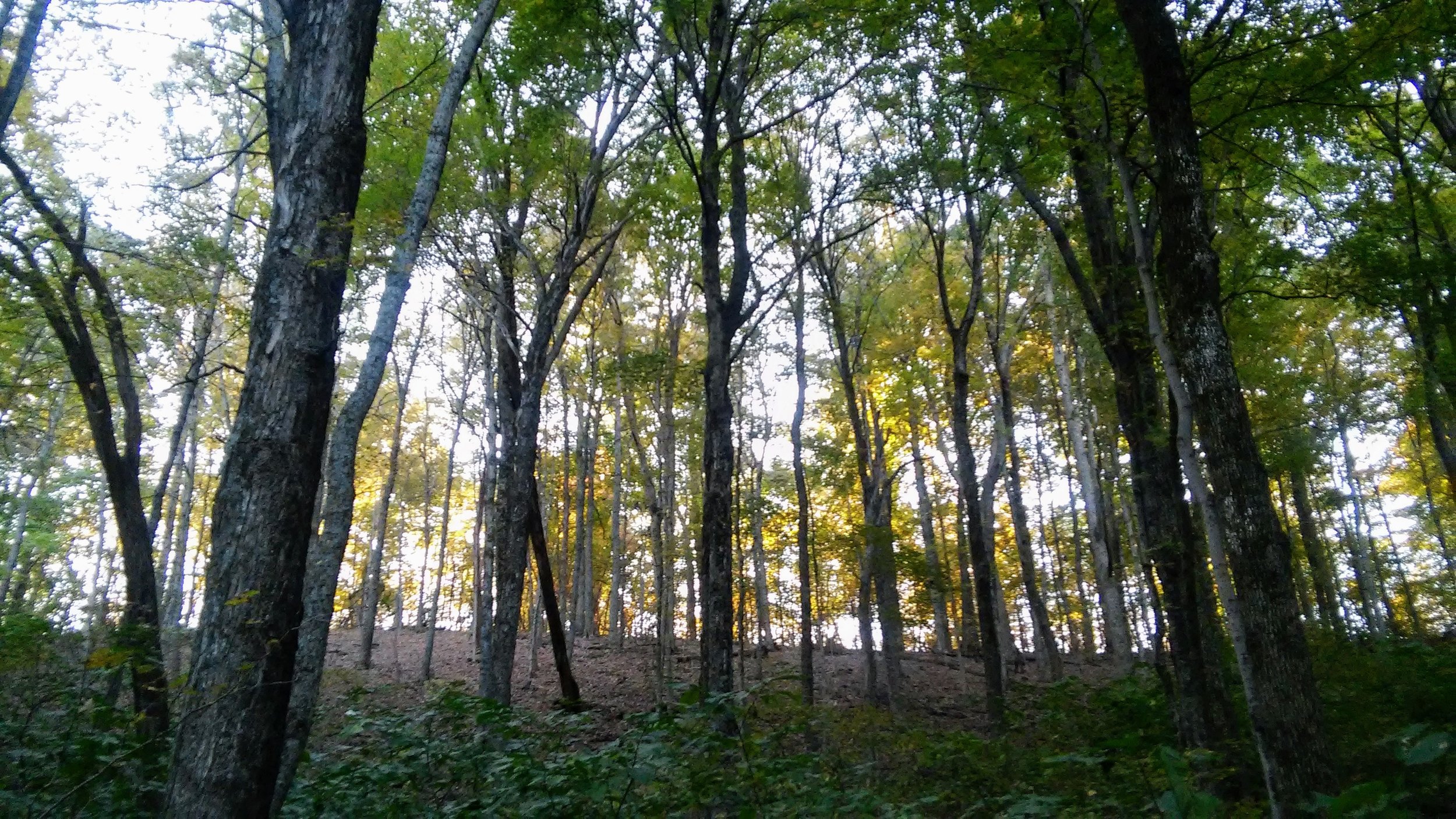
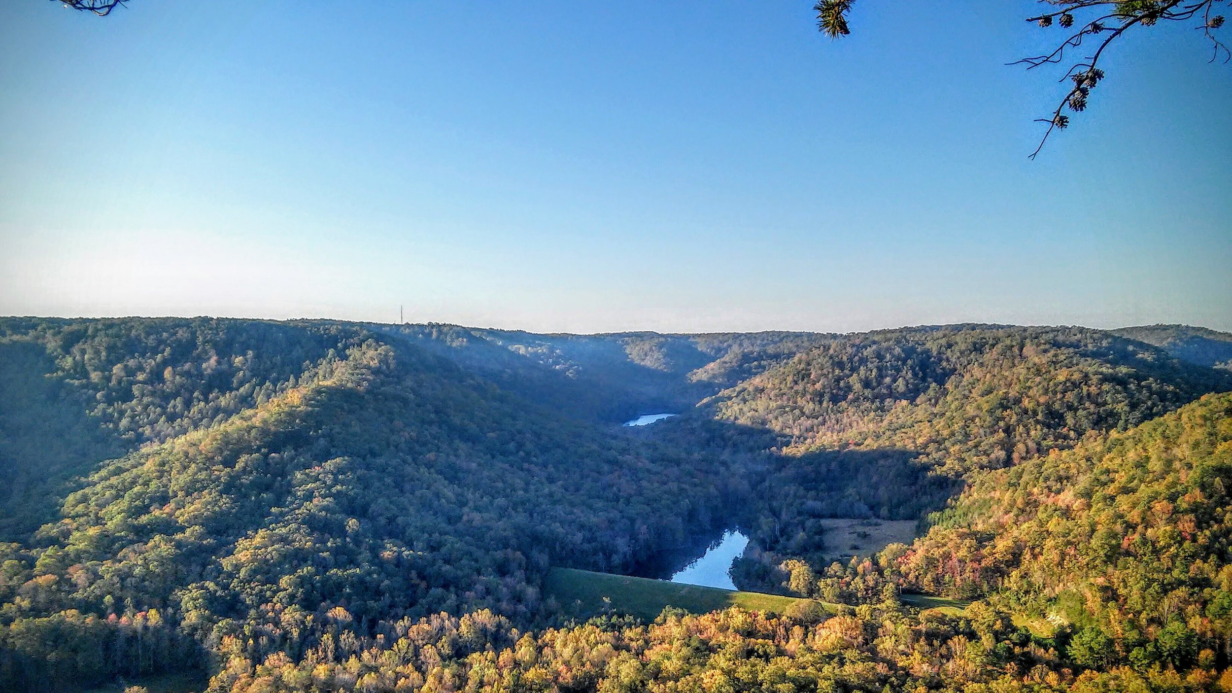
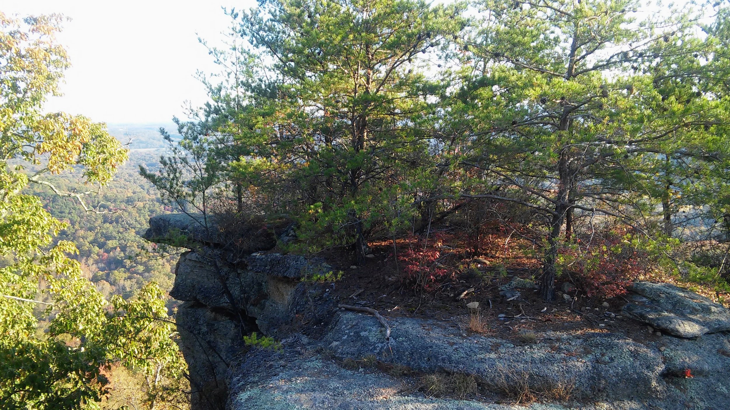
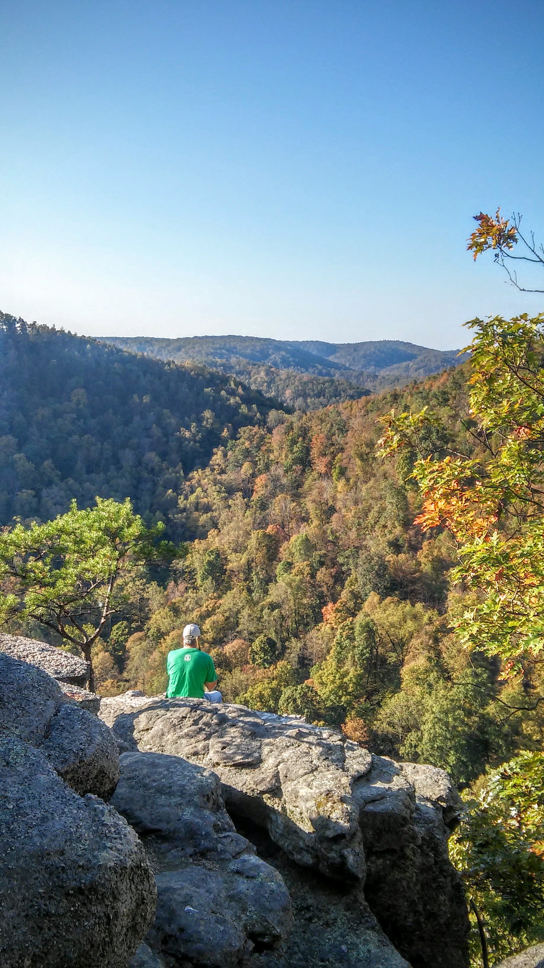
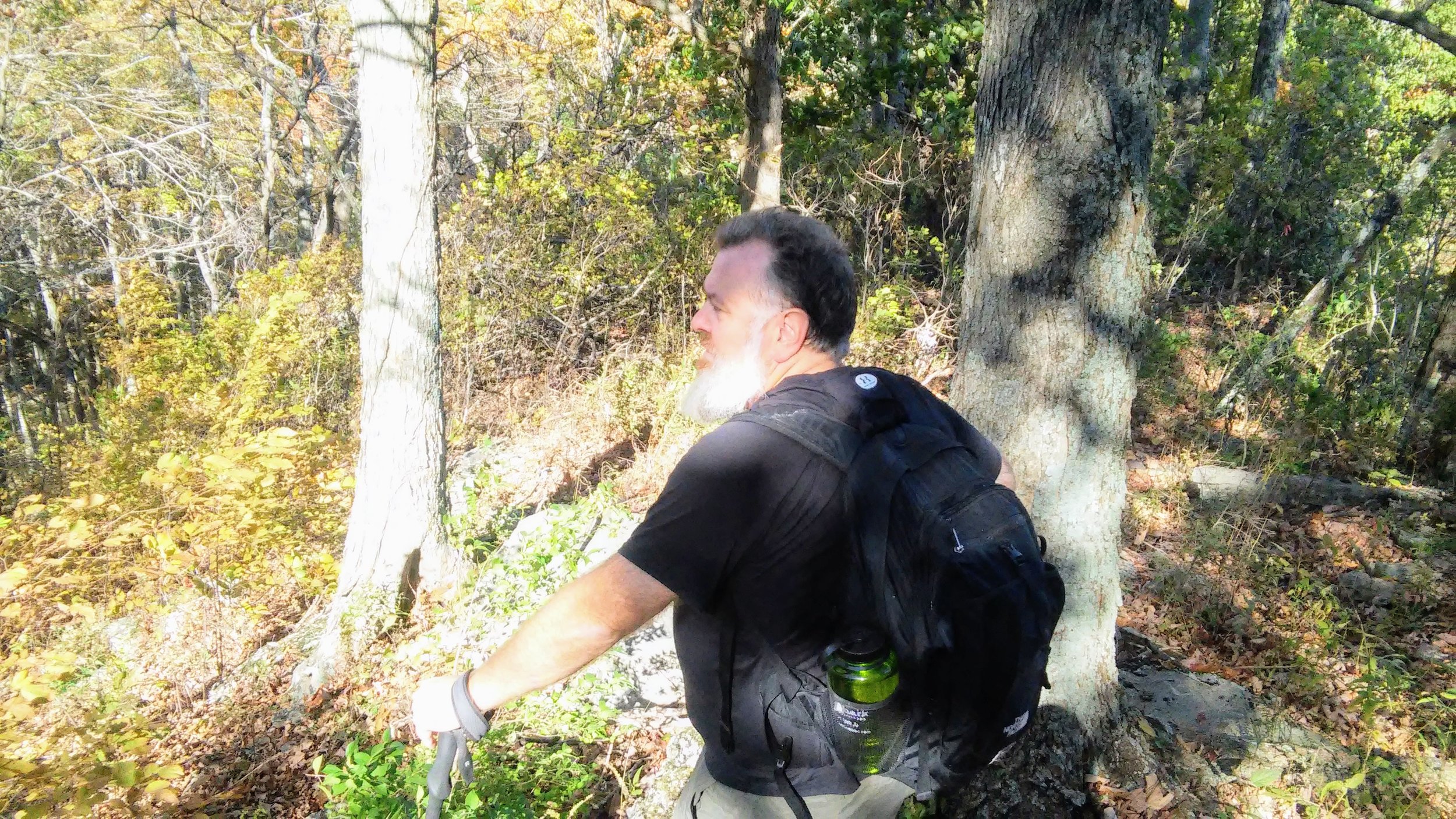
Trail navigation. We took this counterclockwise and hiked just about everything on the mountain. The only area that was inaccessible was the section out to Robe and Basin Mountains to the north. We bushwhacked for a bit, but it was far too overgrown. At each pinnacle, there is a nice view of the surrounding rolling hills of Kentucky. Make this as long or as short a day as you like; it’s your hike:-) Afterwards, be sure to stop into town. Berea has some charming restaurants and shops to enjoy.