Pioneer South
/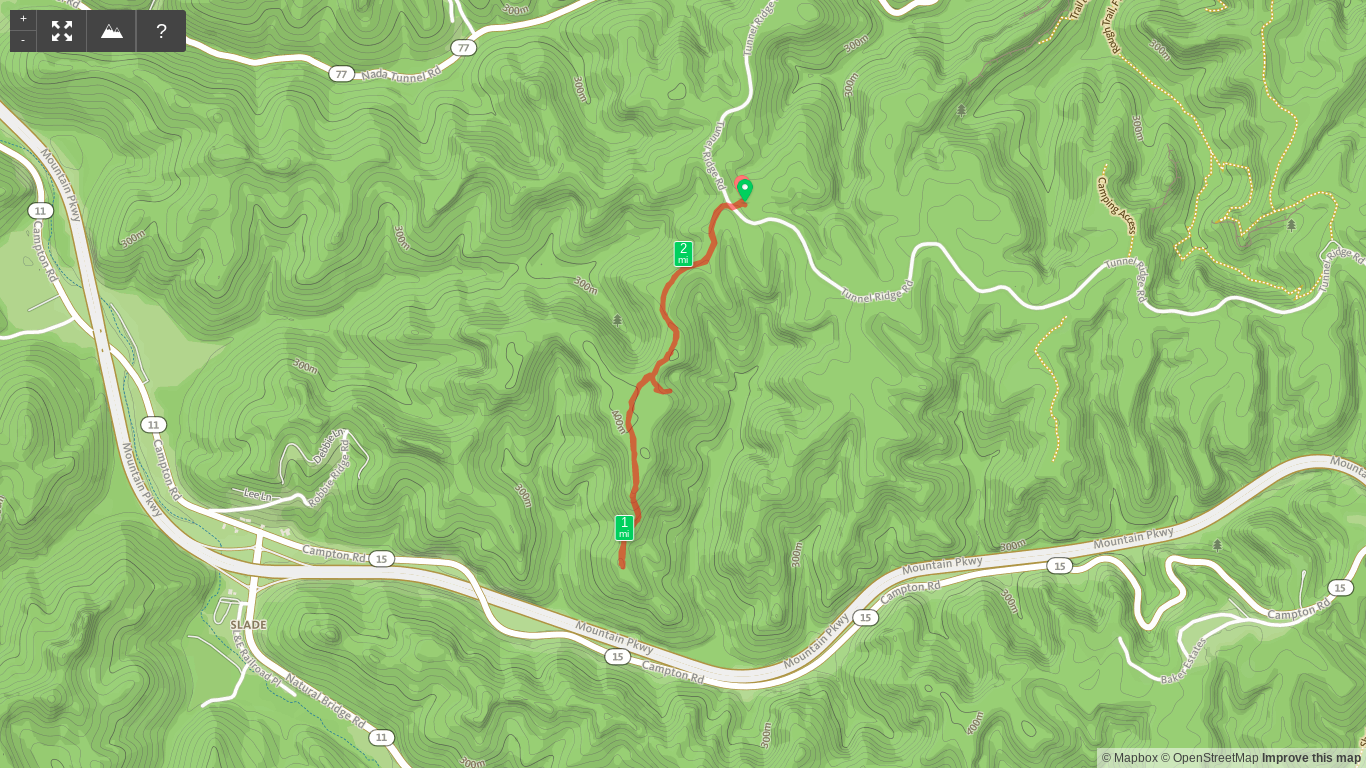
Trail Map of Pioneer South
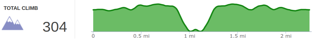
Elevation Profile of Pioneer South
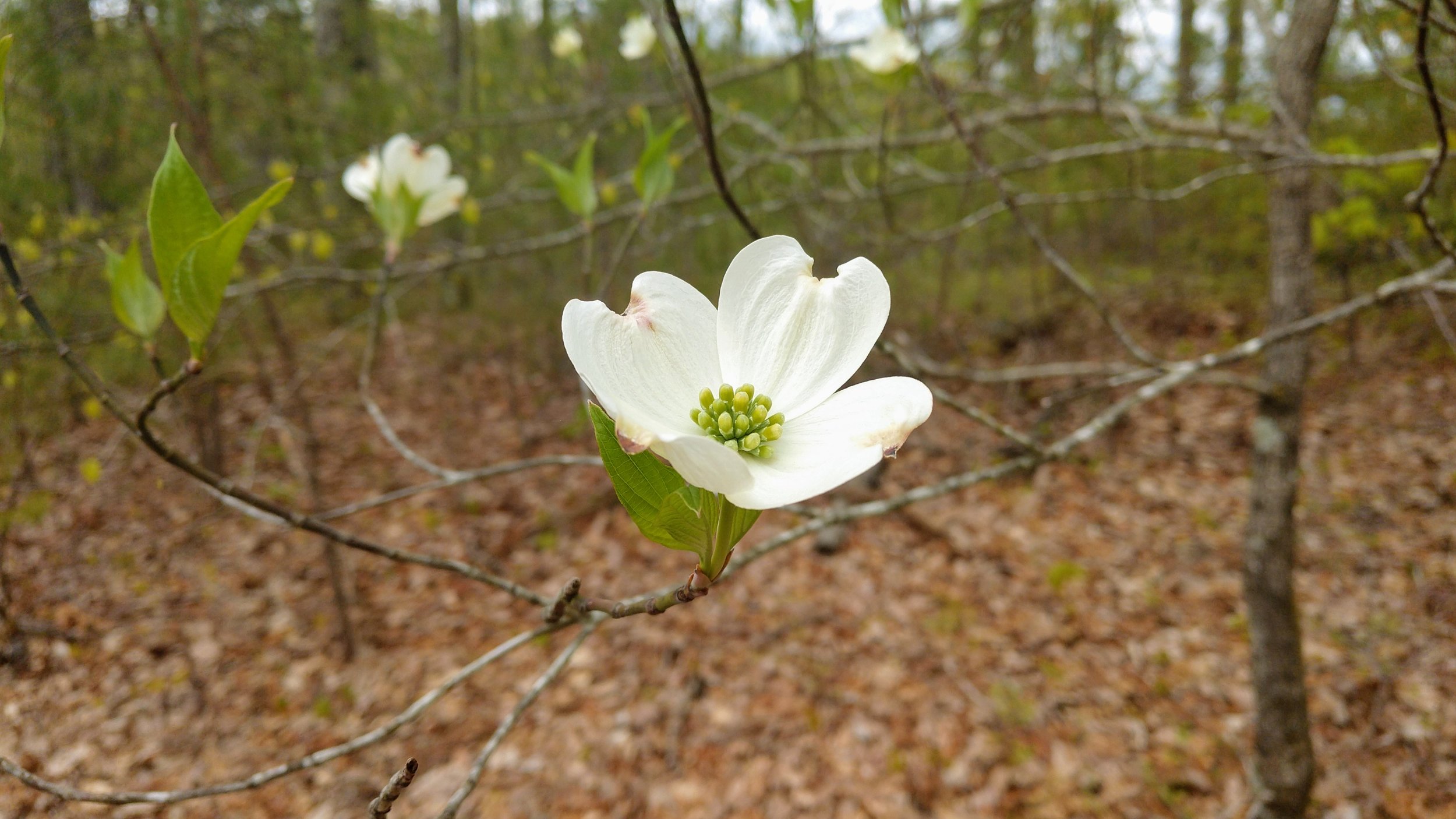
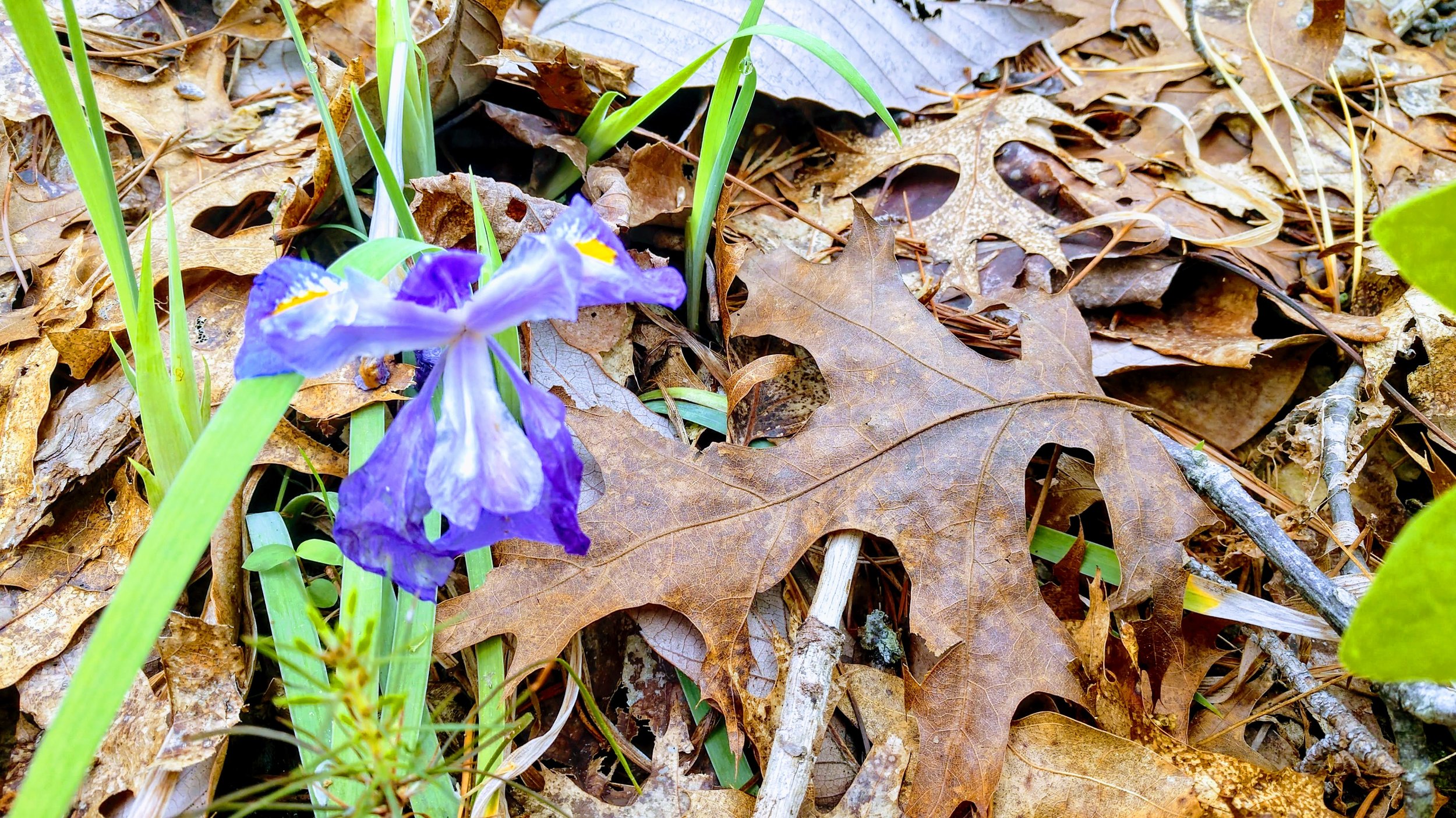
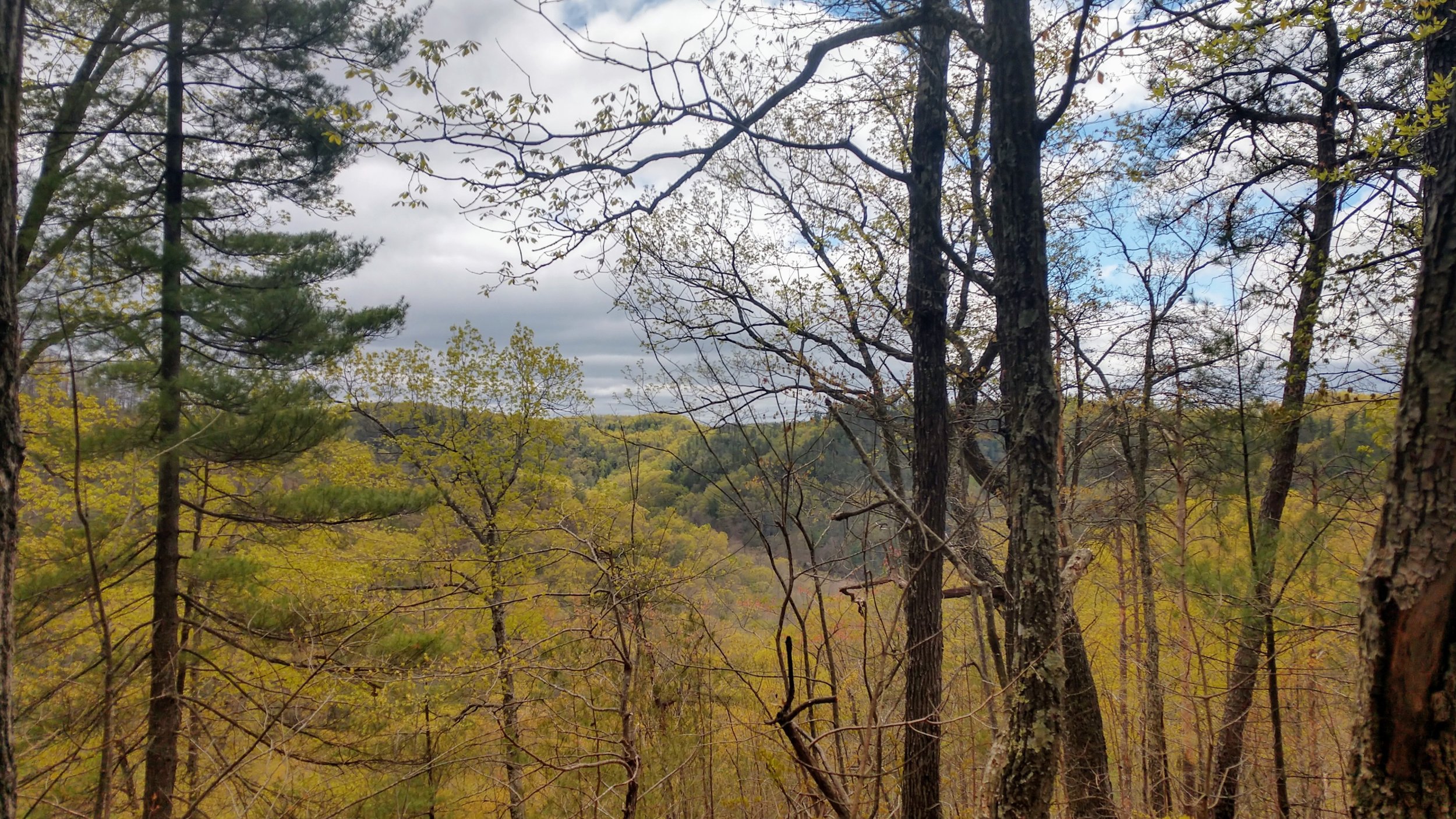
Overview. This is a nice walk in the woods that will take you out toward the Mountain Parkway that you’ll be able to hear, but not see. We followed this trail out to the end and did a little bushwhacking to reach some bearing trees before heading back. There is a side trail 1/2 mile into the hike that is worth exploring, and I’ve made plans to return using a different route in the winter to explore the large rock shelter that lies below. It was wildflower season, and there were plenty in bloom along the way.
Route Type | Out and Back
Total Distance | 2.25 miles
Overall Difficulty | Easy
*this trail is unmarked
Trailhead. This trail departs from the Pioneer Parking Lot located off of Tunnel Ridge Road in Red River Gorge. To reach it, turn onto Tunnel Ridge Road from KY-15 and head north. Continue on the road, passing Gray’s Arch Picnic Area and a number of other parking lots. Pioneer Parking Lot will be located on your right. [map]
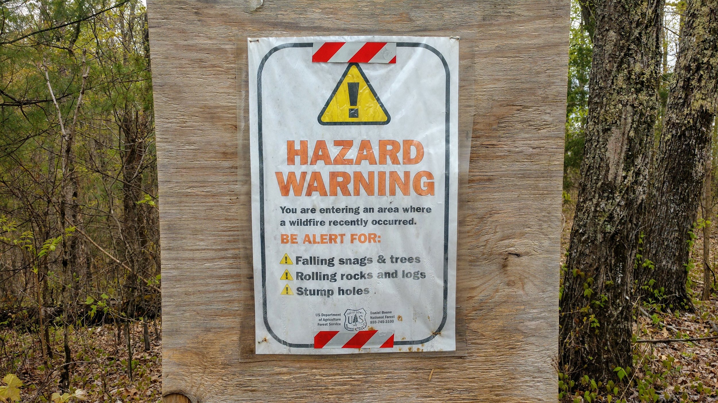
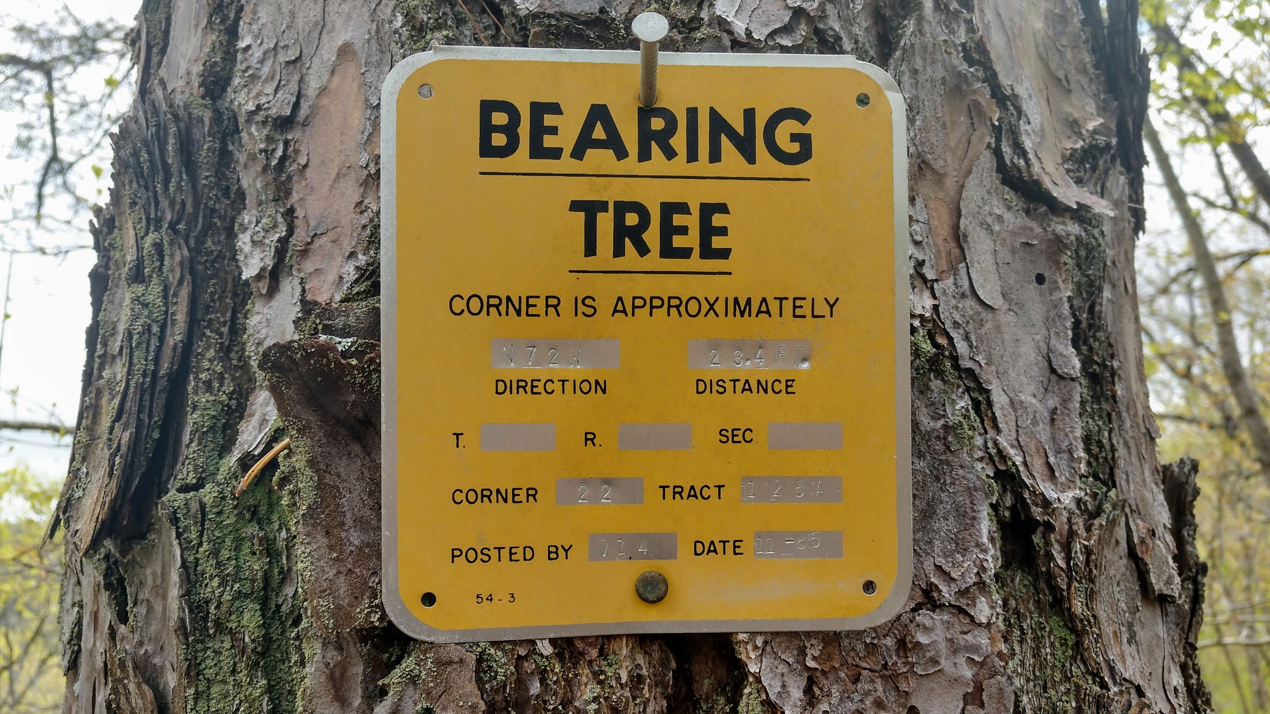
Trail navigation. The trail is set on an old roadbed and begins just across Tunnel Ridge Road from Pioneer Parking Lot. Follow the trail while passing some backcountry campsites and at 0.5 miles, you’ll see a smaller trail to the left (east). This leads down to the rim of a large rock shelter below. The rock shelter isn’t accessible without climbing gear from this area, but you can peer into it from above with best views from the eastern section of the rim. Retrace your steps to return to the main trail and turn left (south) to continue out into the woods. As your hike continues, you’ll see plenty of forest with very nice hardwoods surrounding you. Eventually, the trail will reach an area that was subject to a small fire at some time with plenty of burned out trees to show for it. You can turnaround here or keep exploring if you wish. We continued on until reaching some bearing trees at the next high point. Retrace your steps to return to the trailhead.
CAUTION - Side Trail Overlook is SLICK. The side trail takes you to the top rim of a large rock shelter below. The ridge you’ve been hiking drains down to this area and the rock around the rim is very slick. Be sure to avoid getting too close, as a slip and fall can end your life. Be nice to Search and Rescue, don’t get too close.
CAUTION - Unmarked Trail. This is an unofficial trail with no markings.
CAUTION - Bears. Black bears are growing in number throughout Daniel Boone National Forest. Be sure to follow bear safety precautions. [Be Bear Aware by US Forest Service]