Bon Secour National Wildlife Refuge - West
/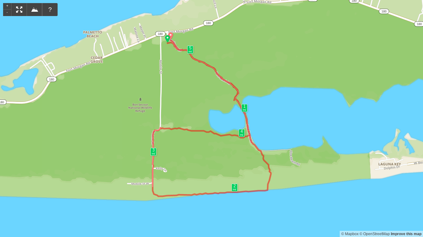
Map of Bon Secour - West Hike

Elevation Profile of Bon Secour - West Hike
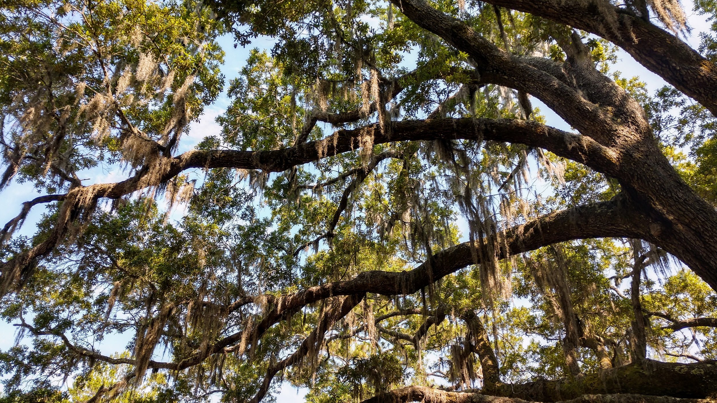
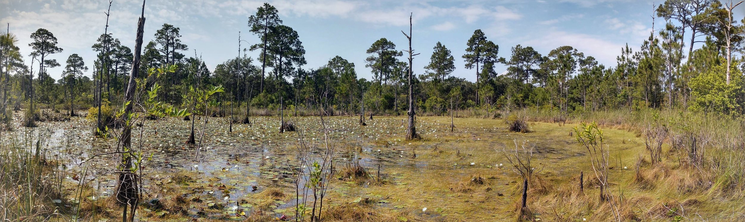
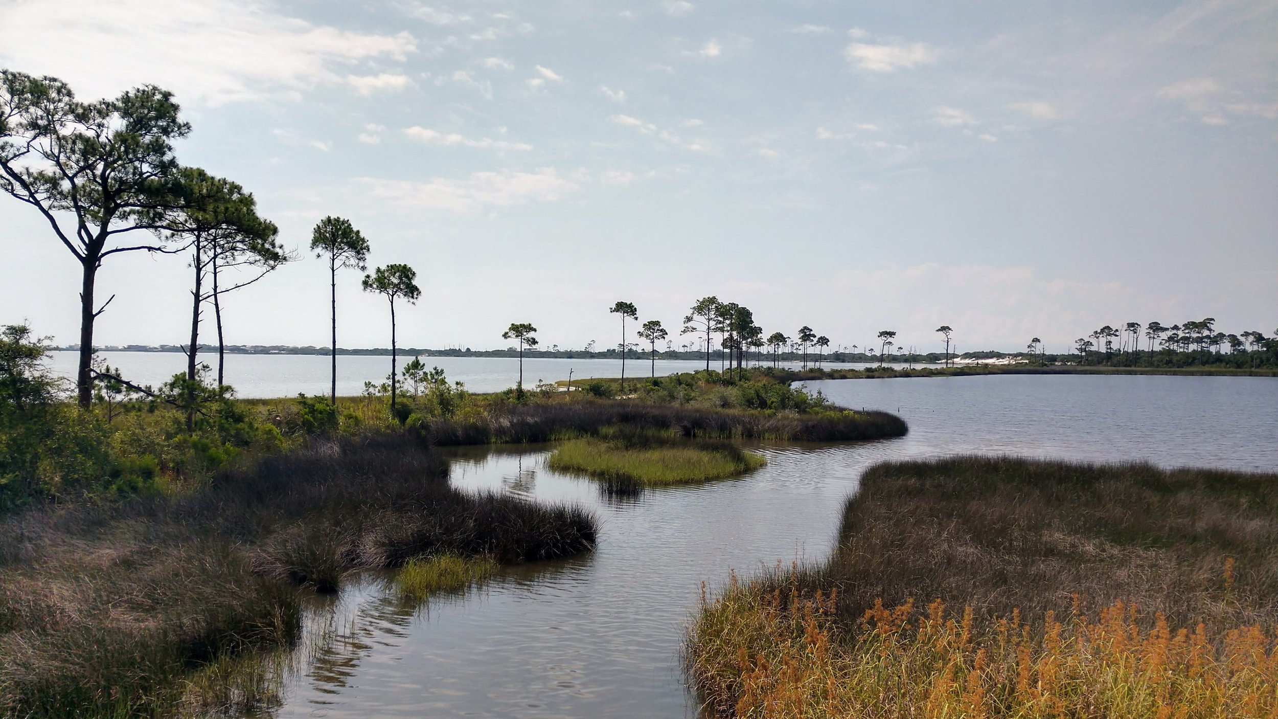
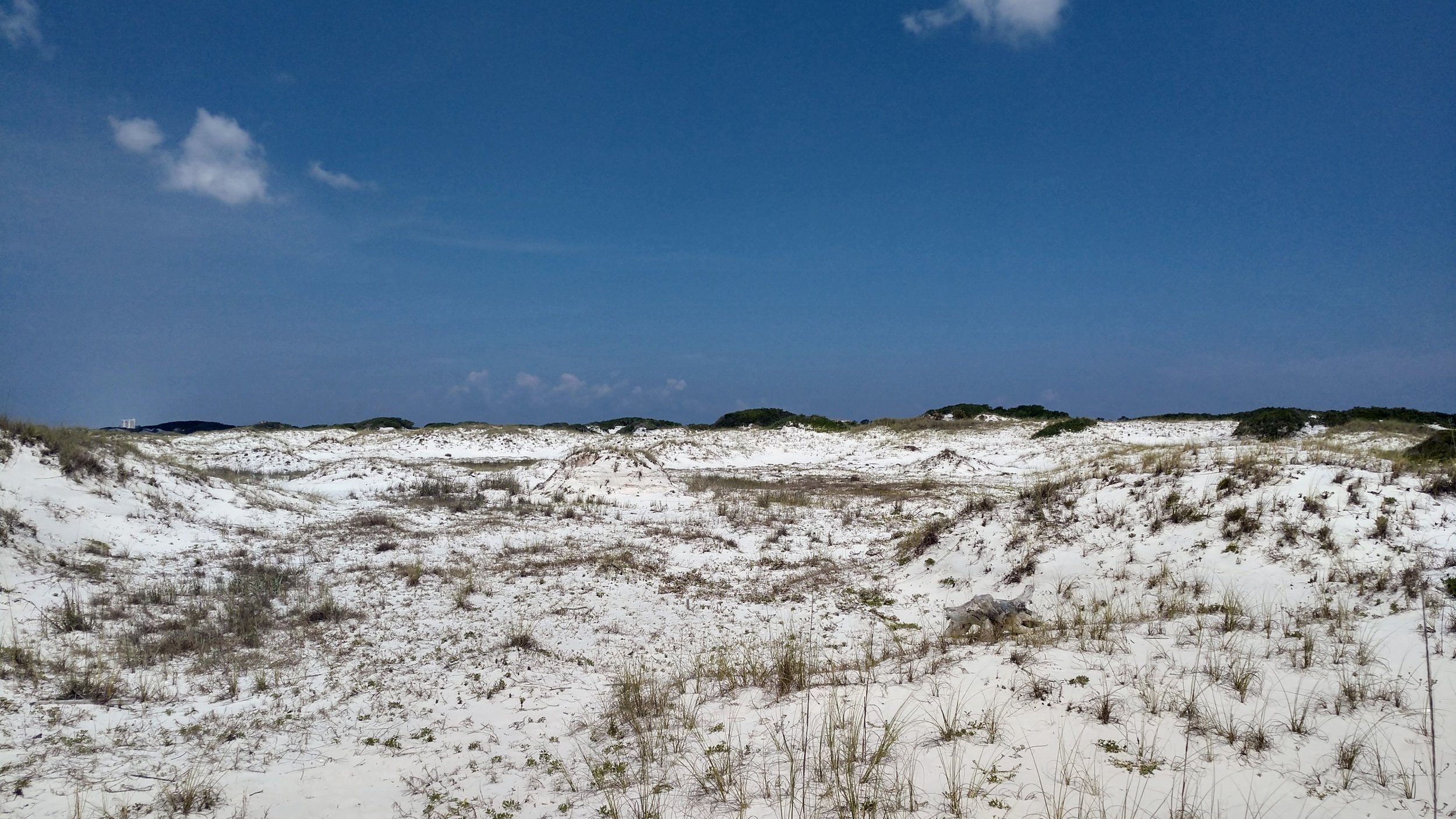
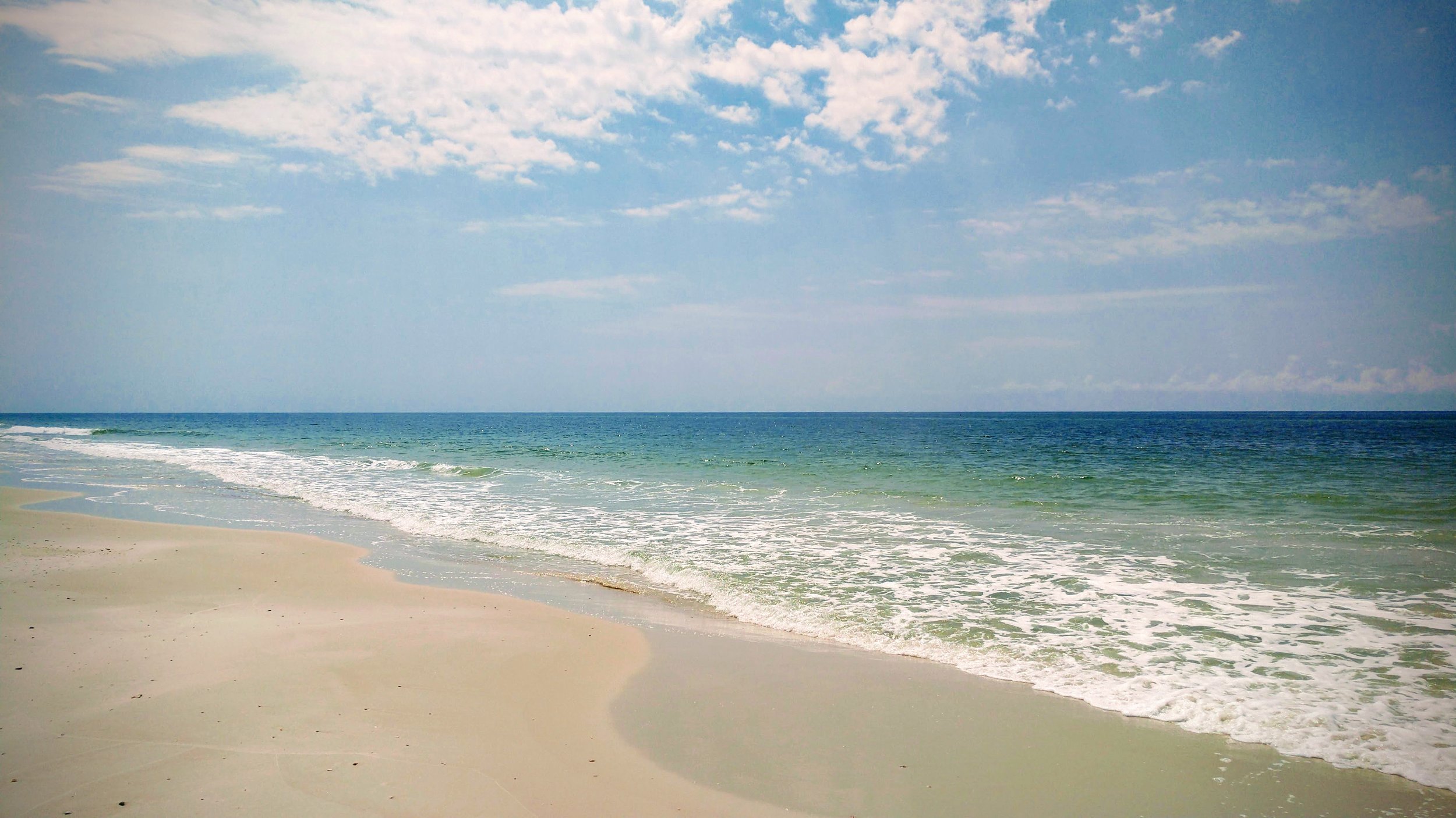
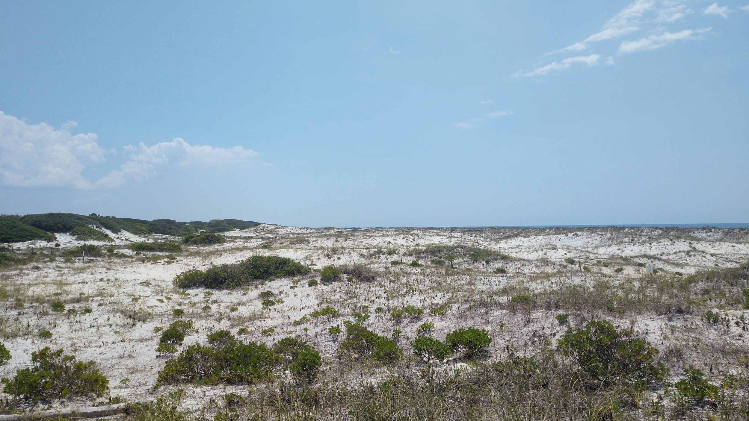
Overview. At the recommendation of our friend, Handsome Klatzke, we checked out Bon Secour National Wildlife Refuge. We hiked the western portion of the trail system that includes PIne Beach Trail, Gator Lake Trail, and a good stretch of pristine beach. It was a great hike with the only accessible undeveloped acreage on the Gulf Shores peninsula.
Route Type | Lollipop
Total Distance | 5.2 miles
Overall Difficulty | Easy
Bon Secour NWR Map | US Dept of Fish and Wildlife
Trailhead. We started from the Pine Beach Trail on the western portion of the refuge which is just off Alabama 180 about 10 miles west of Gulf Shores proper. [map]
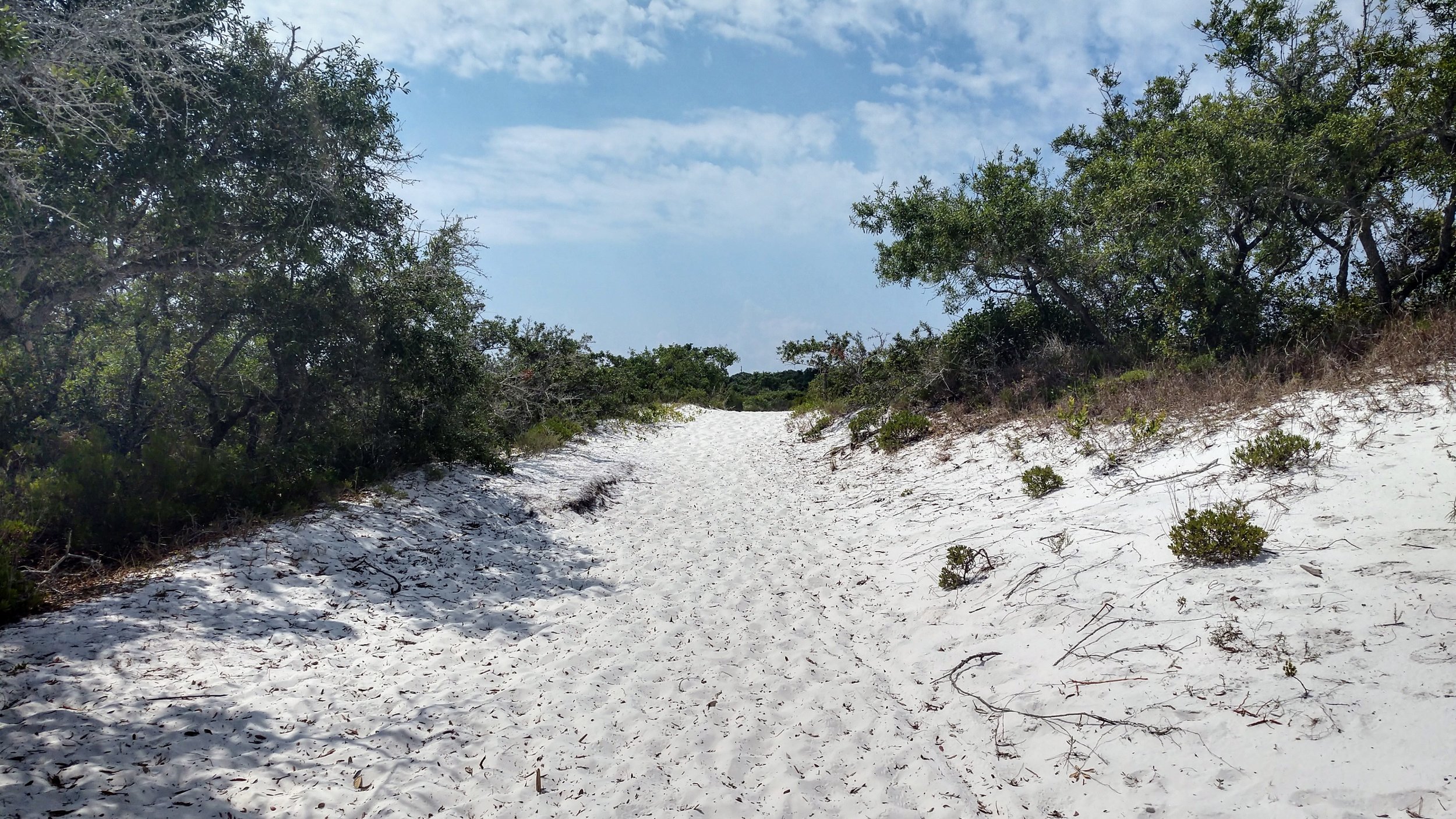
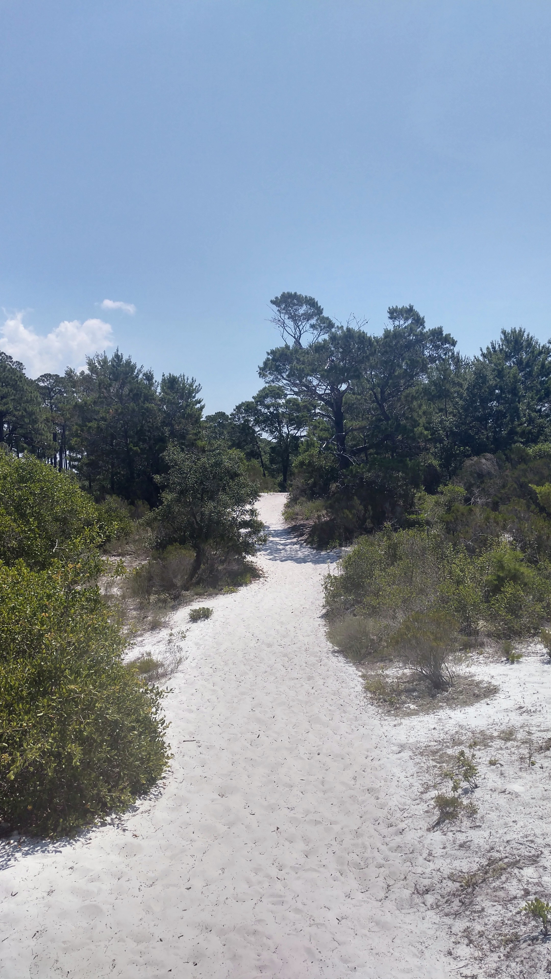
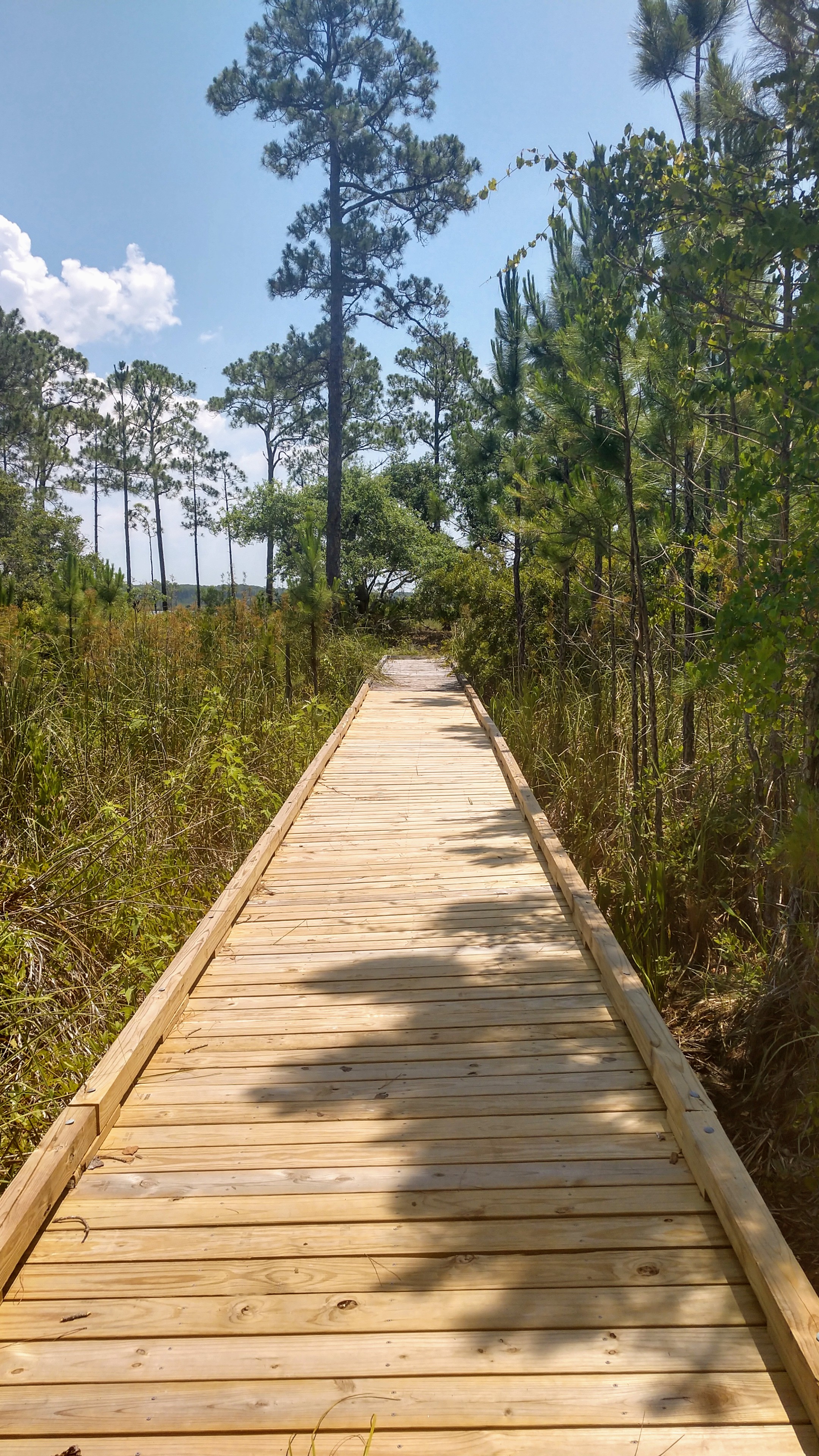
Trail navigation. The trails are very wide and clearly marked throughout - especially through the dunes that are roped on either side of the trail. We hiked this clockwise at midday, but this would be a GREAT hike to watch sunset over the dunes. Should you decide to do that, please park at the beach access parking on Mobile Street to make for a quick exit after sunset.
Options. Bon Secour NWR is a great place to get into Nature. For the best views and variety, do the western loop that includes Pine Beach Trail, Gator Lake Trail, pristine dunes, and a great stretch along the beach. For a nice, flat, and easy trail run, checkout the Jeff Friend Trail on the eastern side of the refuge. For peace and solitude, the Pine Beach to Centennial Trail out and back is best.