Sheltowee Trace Day 2 - First Campsite to Forest Service Road 977
/
Map of Sheltowee Trace Day 2 Hike - includes part or all of sections 1 through 4
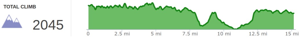
Elevation Profile of Sheltowee Trace Day 2 Hike
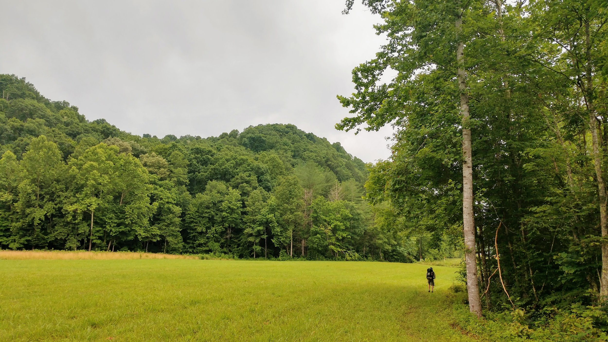
Overview. With a full day at our disposal, we planned to make something around 15 miles for the day that would take us into Section 4 of the Sheltowee Trace. This is a quiet, solitary hike through the forest where we encountered exactly one other human on the trail. As a bonus, this hike provides an AMAZING lunch spot at Dry Branch where you’ll find privately owned Clark Park (see pics below).
Route Type | Point-to-Point
Total Distance | 15.25 miles
Overall Difficulty | Moderate with Strenuous Sections
Sheltowee Trace Section 1 Info from USDA Forest Service
Sheltowee Trace Section 2 Info from USDA Forest Service
Sheltowee Trace Section 3 Info from USDA Forest Service
Sheltowee Trace Section 4 Info from USDA Forest Service
Sheltowee Trace Map from USDA Forest Service
Trailhead. This hike is accessible from the Northern Terminus (add a mile at the start). [map]
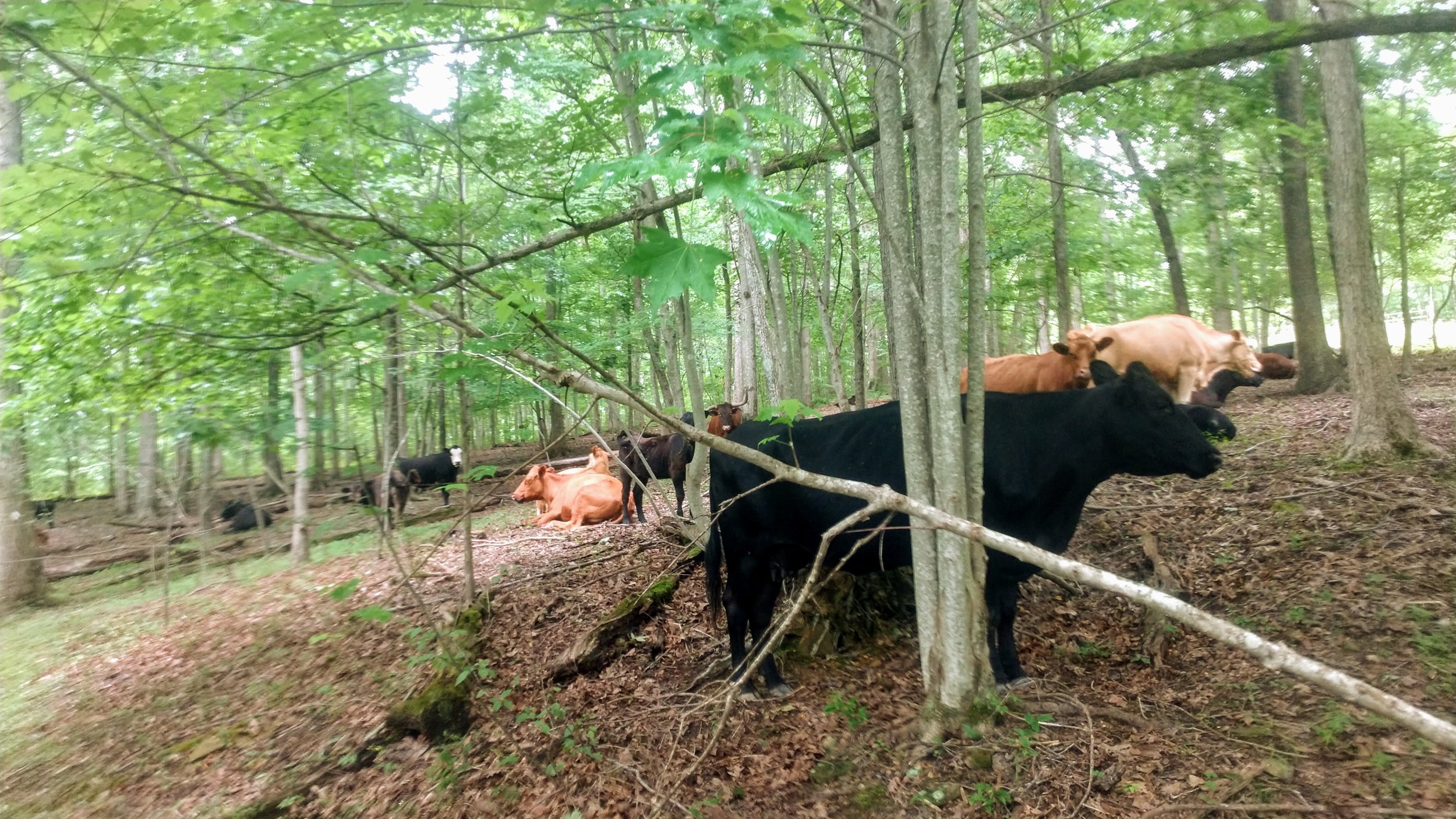
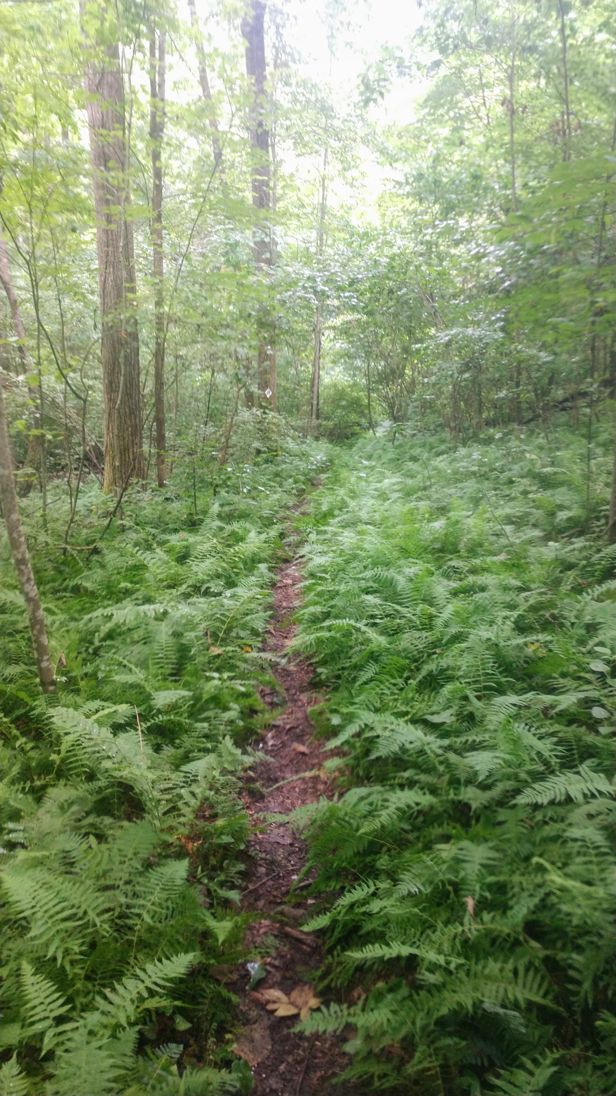
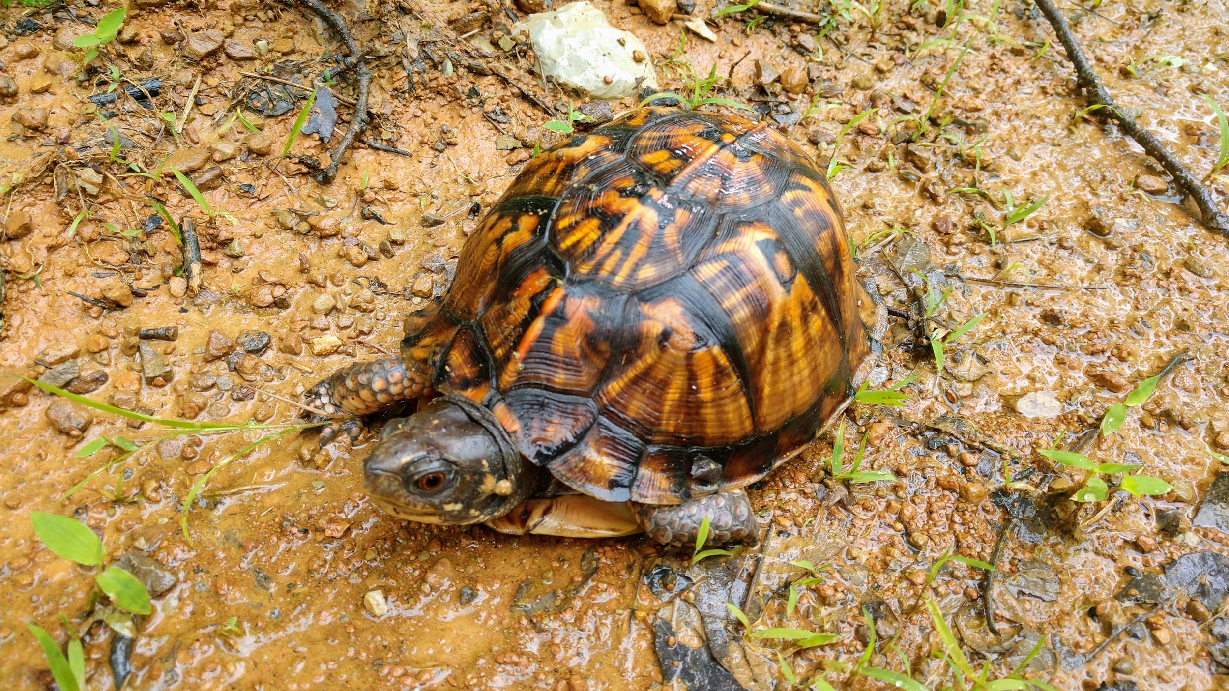
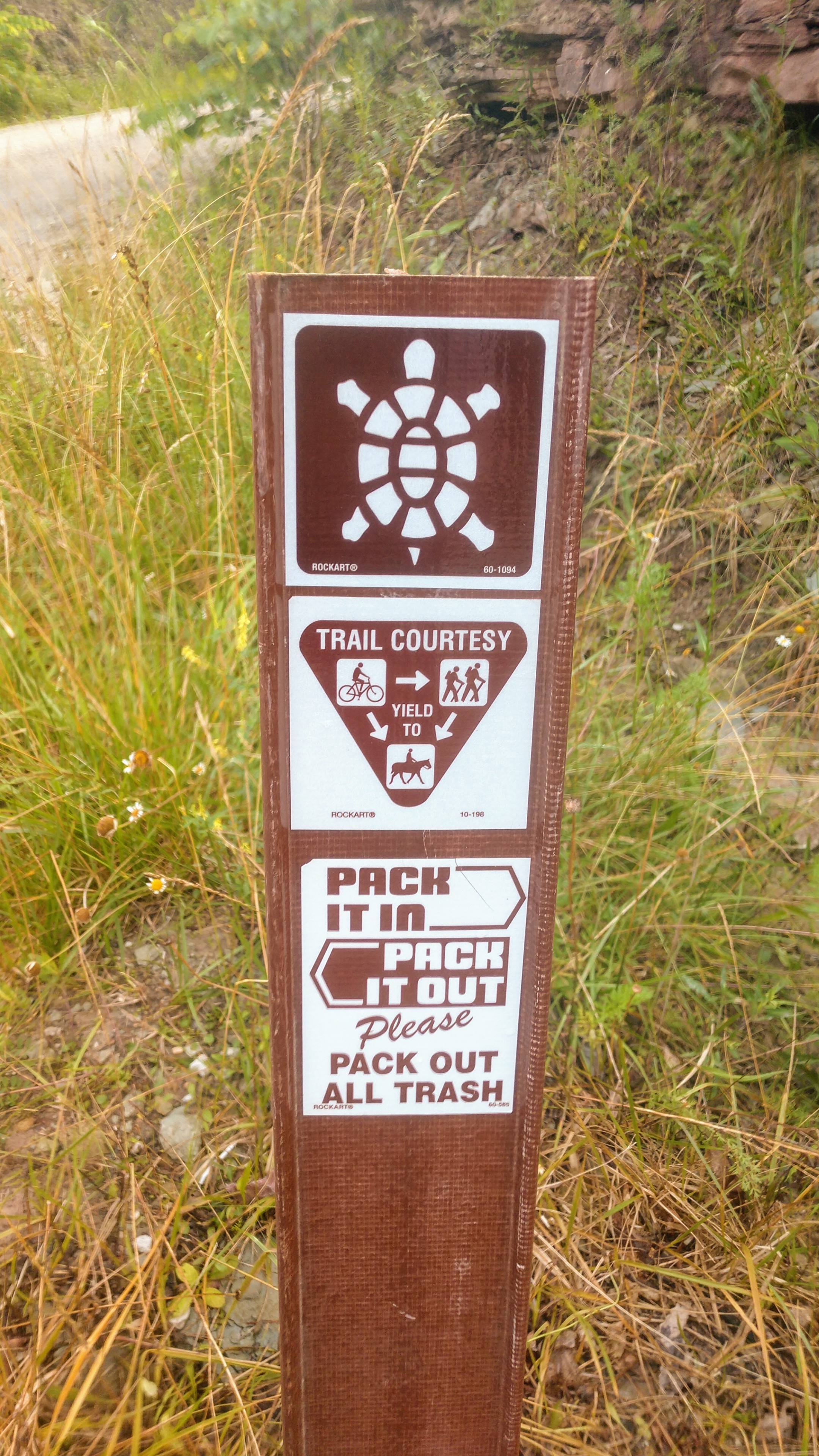
Trail navigation. This hike is easily navigated by following the well-blazed trail. Just keep your head up and look for white diamond turtle blazes. There are a couple turns that are clearly marked, but can be easily missed - especially when heading uphill from Dry Branch (keep eyes to the right). Also, there is a section of open grass where cows graze. Follow the trail downhill, then look for the next blaze on the opposite side as you’re walking uphill.
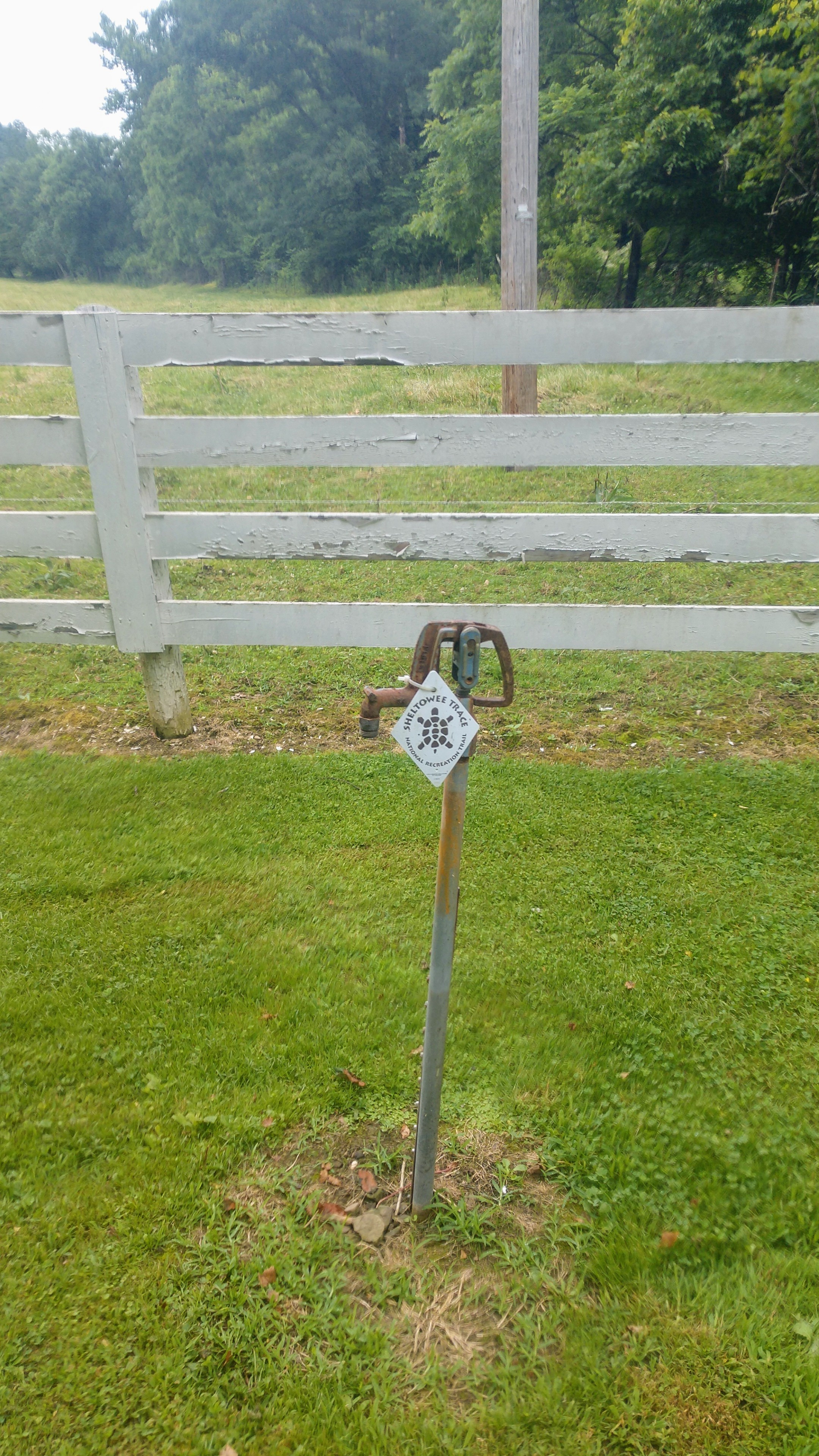
Water. There are two reliable water sources on this hike located at Dry Branch and Holly Fork Roads. Top off your water supply and gulp down some extra before leaving Holly Fork Road, as you’ll go back up to the ridgeline with no reliable water for 13.25 miles at Eagle Lake in Morehead. If hiking in heat, be mindful of your pace to reduce heat challenge. This can help reduce hydration requirements to get you through this long stretch without water. Also, minimize your time in direct sunlight in exposed sections where UV radiation can add 15 degrees to the heat index.
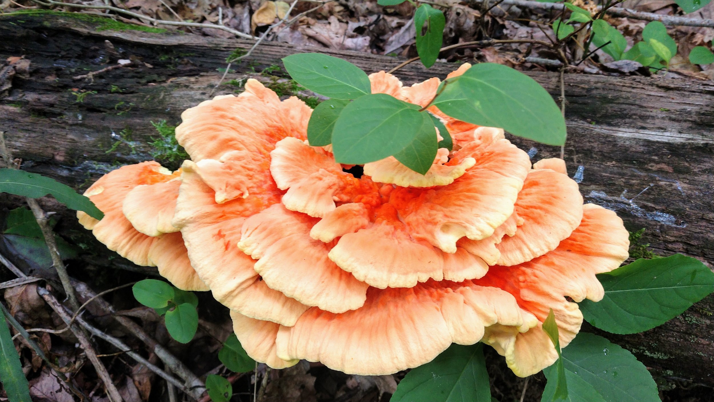
Fungus Central. With a very rainy year, we encountered a wide range of very healthy fungus colonies throughout our trip. And, with few trail users, these fungus can grow in peace.
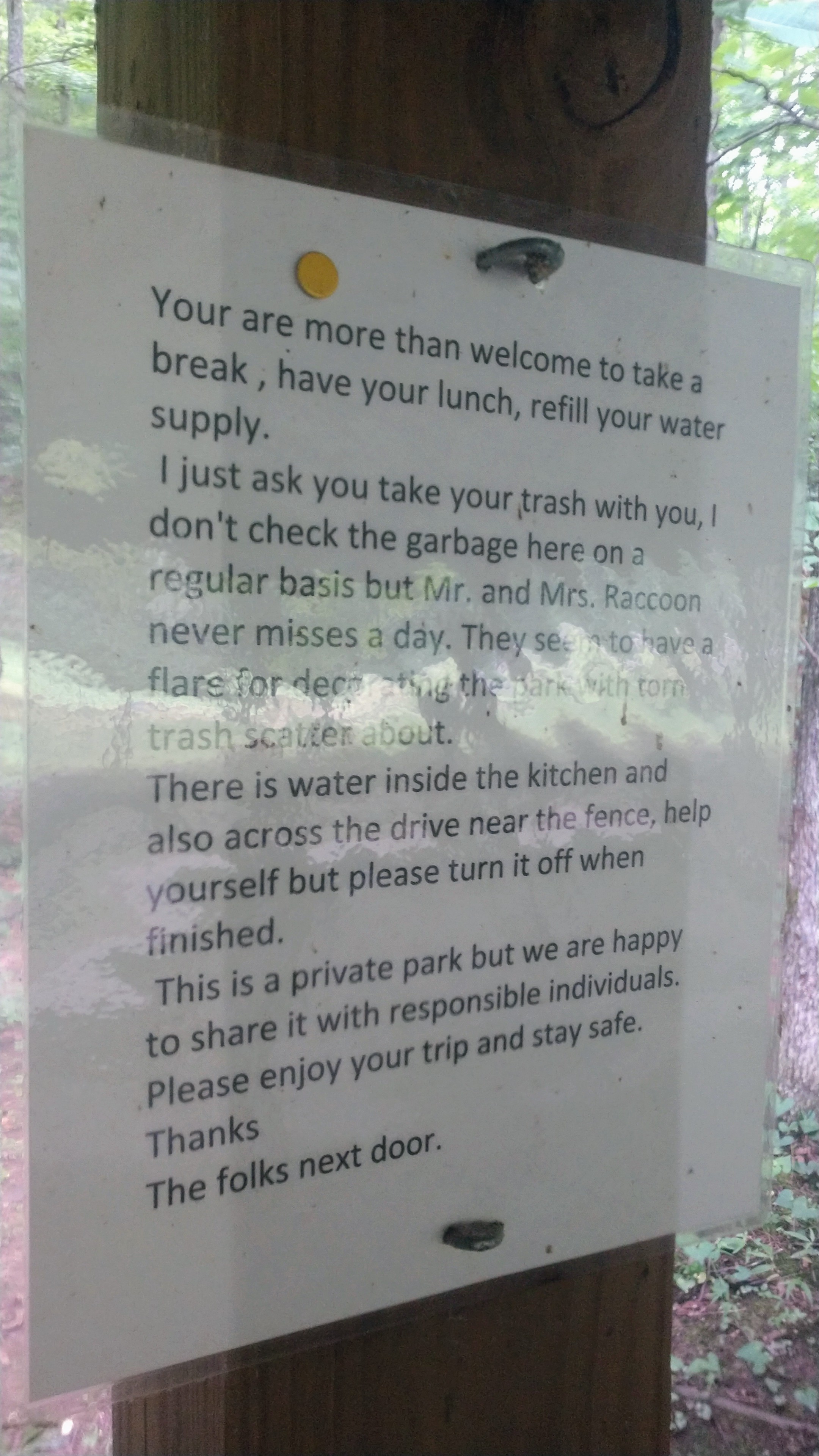
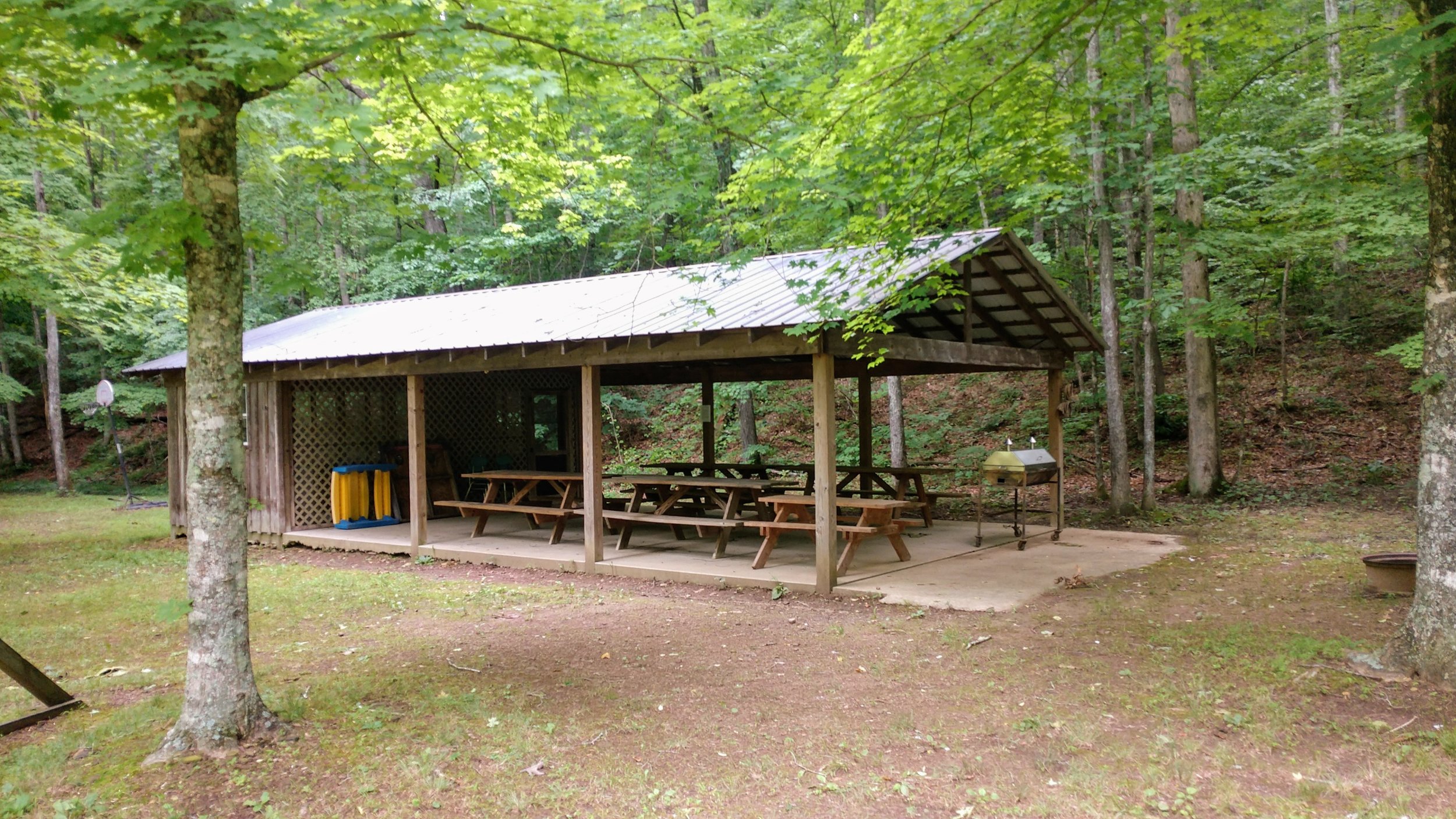
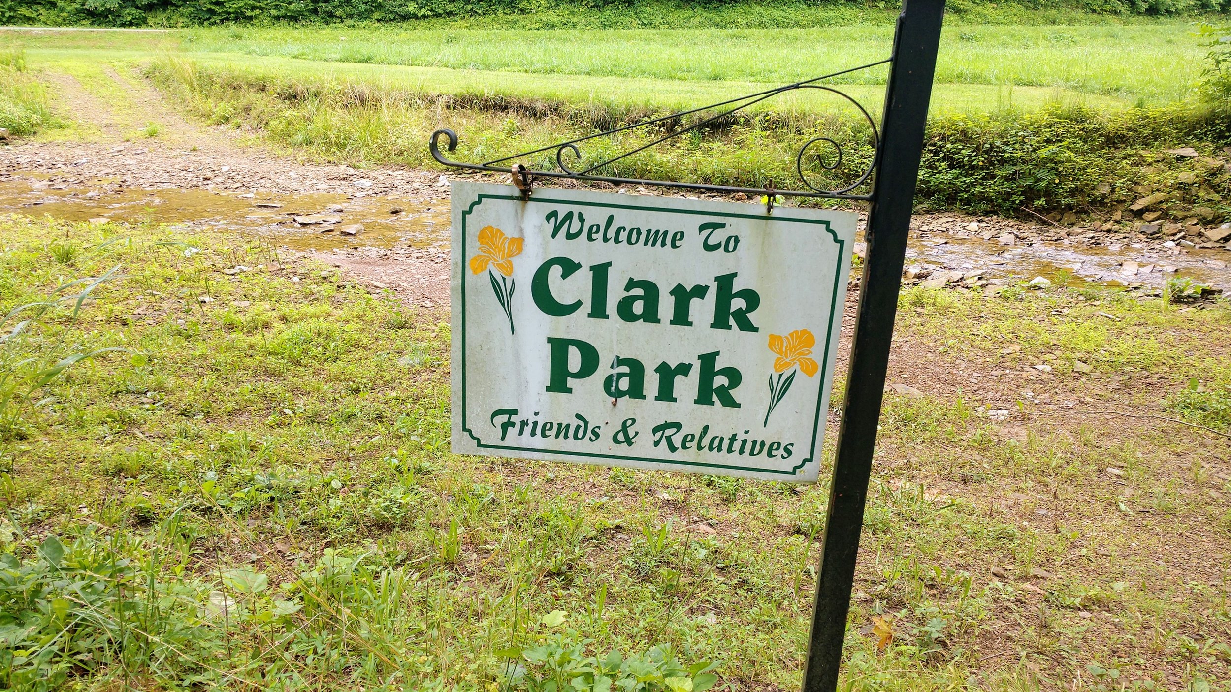
Clark Park. This is a private, family-owned park that is open to Leave No Trace hikers. You’ll find a shelter with picnic tables, reliable water in the form of Dry Branch and a spigot next to their driveway, a fire ring, and mini playground. It’s AWESOME!!! After knocking down 8+ miles on the ridge, it’s a perfect lunch spot where Bork and I enjoyed our Knorr meals and some time stretching out and relaxing by the stream. If the Clark family ever reads this, THANK YOU for opening your park to us - it was a fantastic treat! And to all who visit, LEAVE NO TRACE so others can continue to enjoy the hospitality. And, that fire ring is NOT a trash can! Pack it in, pack it out!!!
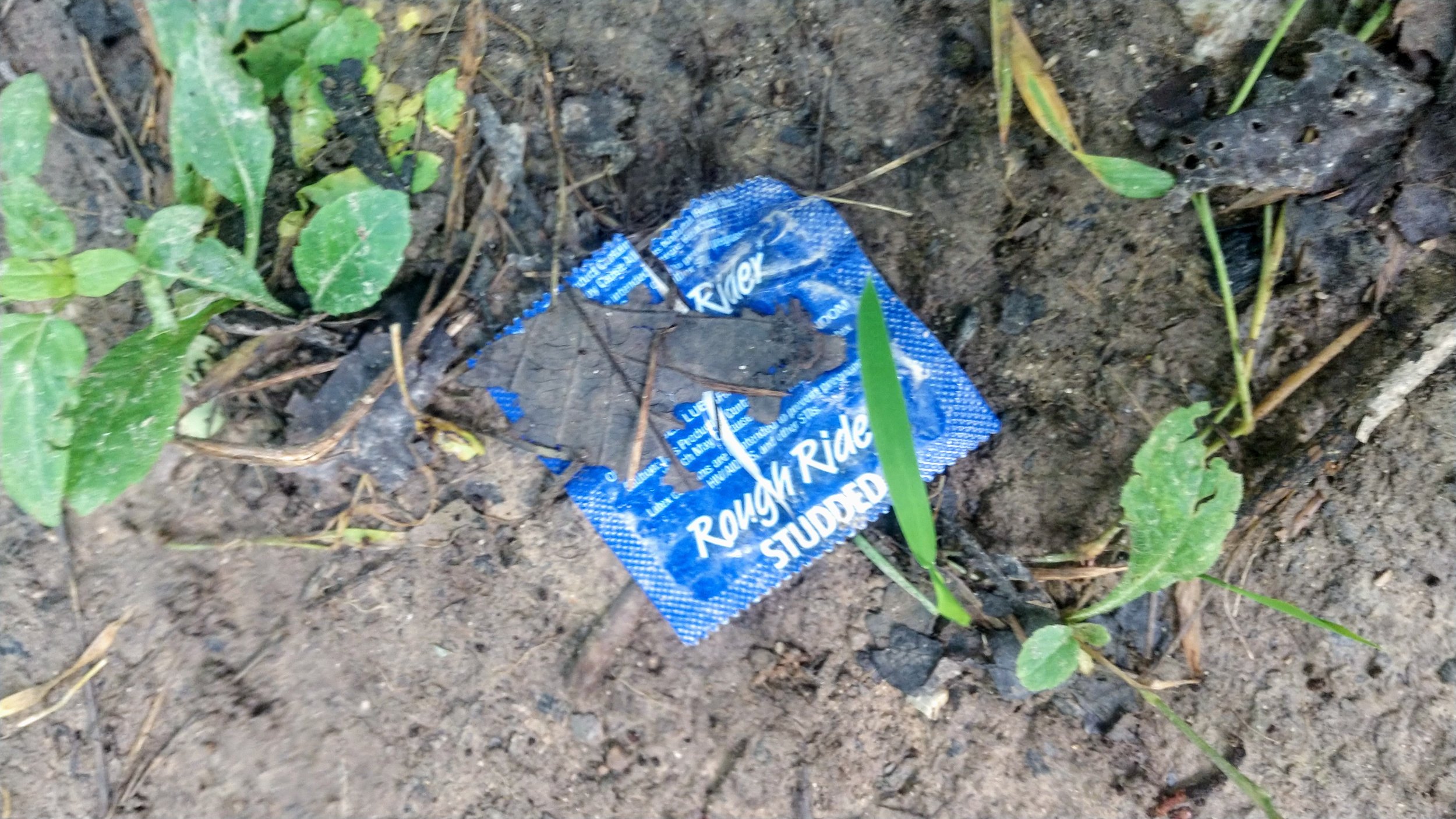
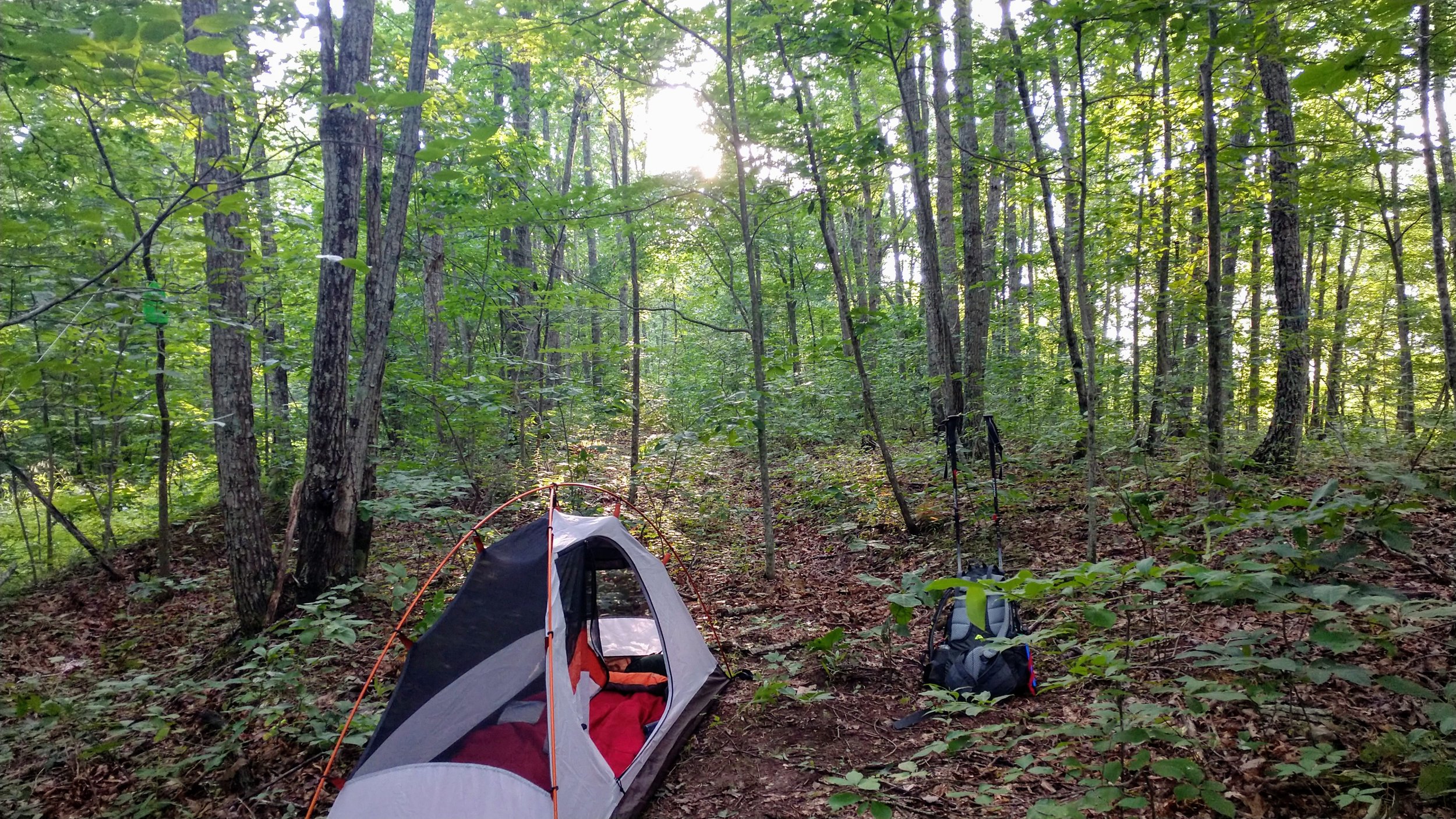
Campsite 2 - sex, murder, and beer bottles. Once we hit Forest Service Road 977, we were ready to make camp for the night. Camping can be aggravating on the Sheltowee Trace, as there are few established campsites. We walked about a mile and a half up the road and finally found a spot to make camp. It was littered with used condoms (Rough Rider, ribbed for pleasure, of course), a very large roll of carpet that would neatly fit a dead body, and plenty of beer bottles. If there was a dead body in there, I’m sorry I stepped on your remains.
Upon reflection, this campsite was great! Sure, it would’ve been better to take that body a little deeper into the woods to avoid discovery or to put that used condom in the trash or to maybe drink cans of beer instead of bottles that you packed out in a garbage bag with the condoms, but where’s the fun in that!?! Seriously, funny, but really gross.