Sheltowee Trace Day 3 - Morehead to Amburgy Rocks
/
Map of Sheltowee Trace Day 3 - Morehead to Amburgy Rocks

Elevation Profile of Sheltowee Trace Day 3 - Morehead to Amburgy Rocks
Overview. This section of the hike took us through downtown Morehead where we resupplied at a gas station and IGA. After town, it’s a good stretch of road before heading back into the forest where we made camp at Amburgy Rocks. The campsite alone was worth the hike - sitting atop a rock outcropping enjoying the breeze…and a thunderstorm as it turned out.
Route Type | Point to Point
Total Distance | 6.5 miles
Overall Difficulty | Moderate + A Modest Scramble
Sheltowee Trace Section 7 Info from USDA Forest Service
Sheltowee Trace Section 8 Info from USDA Forest Service
Sheltowee Trace Map from USDA Forest Service
CRITICAL NOTE: Sheltowee Trace now goes directly through downtown Morehead and information posted on USDA Forest Service website for Sheltowee Trace Section 6 is outdated.
Trailhead. The trailhead can be picked up anywhere on Main Street between Morehead State University and Clearfield Road (KY-519). [map]
Trail navigation. Starting from the corner of Main Street and University Boulevard in downtown Morehead, start southwest down Main Street and continue until near the dead end. Turn left onto Clearfield Road (KY-519) and cross US-60. Continue 6/10ths of a mile and turn right onto Tile Storage Lane, then right again onto McBrayer Lane. Follow this as it winds to the left and then right until reaching North Mill Branch Road. Turn left here and crossover to South Mill Branch Road. Stay on North and South Mill Branch Road for a total of 2.5 miles before reaching the entrance to the forest trail. While at the trailhead, be sure to restock water supplies before a good climb through the forest for 6/10th of a mile. After that, you’ll hit a gravel road that will lead you to the trail for Amburgy Rocks.
Water. Mill Branch runs along the road until reaching the forest trail. Refill here prior to heading up to the ridgeline again. The next reliable water source isn’t until the Ranger Station 8 to 9 miles out.
Road miles. This section has more than 5 miles of road on it. On a hot, sunny day, these road miles can be just as taxing as hilly tree covered trails. Be sure to have plenty of water and to refill before heading back into the forest.
One good climb. The climb from KY-519 is steady and a lot of fun (400 vertical feet). It’s never too terribly steep, just a good, solid hill climb. Once to the gravel road, there’s still some climbing work to do that will continue until reaching the top of Amburgy Rocks.
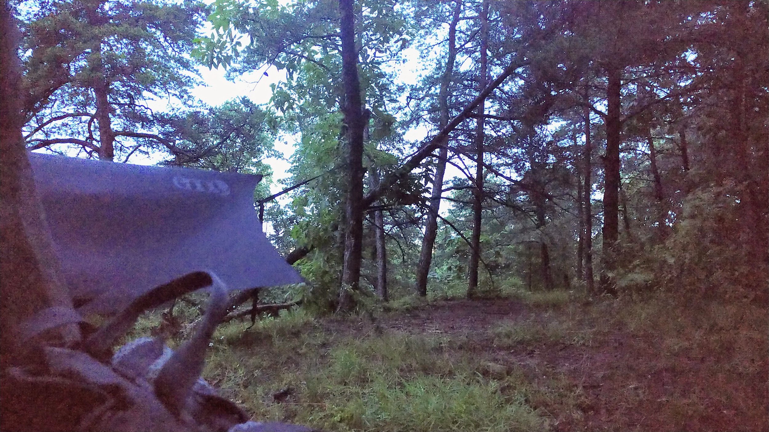
Amburgy Rocks ROCKS! We thoroughly enjoyed camping atop these rocks. It’s a large rock outcropping that requires a modest scramble to reach the top. Nothing too complicated, but definitely a couple spots where you’ll be in awkward positions - especially when descending. It’s quiet, breezy, and beautiful atop the rocks. While there is no panoramic vista to be had, it makes for a gorgeous campsite.
A couple notes on this one. We had clear weather heading in, but wound up with a line of thunderstorms that came through at dusk. It’s unwise to camp in an exposed area like this with lightning in the area, so shame on us, but we survived just fine. Also, there are a ton of ants there, so get comfy with your tireless six-legged friends. They’re harmless.
Please do NOT light a fire on these rocks. There’s two reasons for this. First, it leaves some nasty scarring that takes a long time to wash out. Second, during fire season, it’s very easy for hot embers to ignite a forest fire after blowing down from these rocks. If you want a fire, camp a bit lower and out of the wind.
Lastly, I’ve read plenty of complaints about the graffiti on the rocks. Yeah, it sucks, but it takes very little away from the experience of visiting here. Wherever there is someplace really beautiful, some idiot has painted it with something stupid. Such is life.