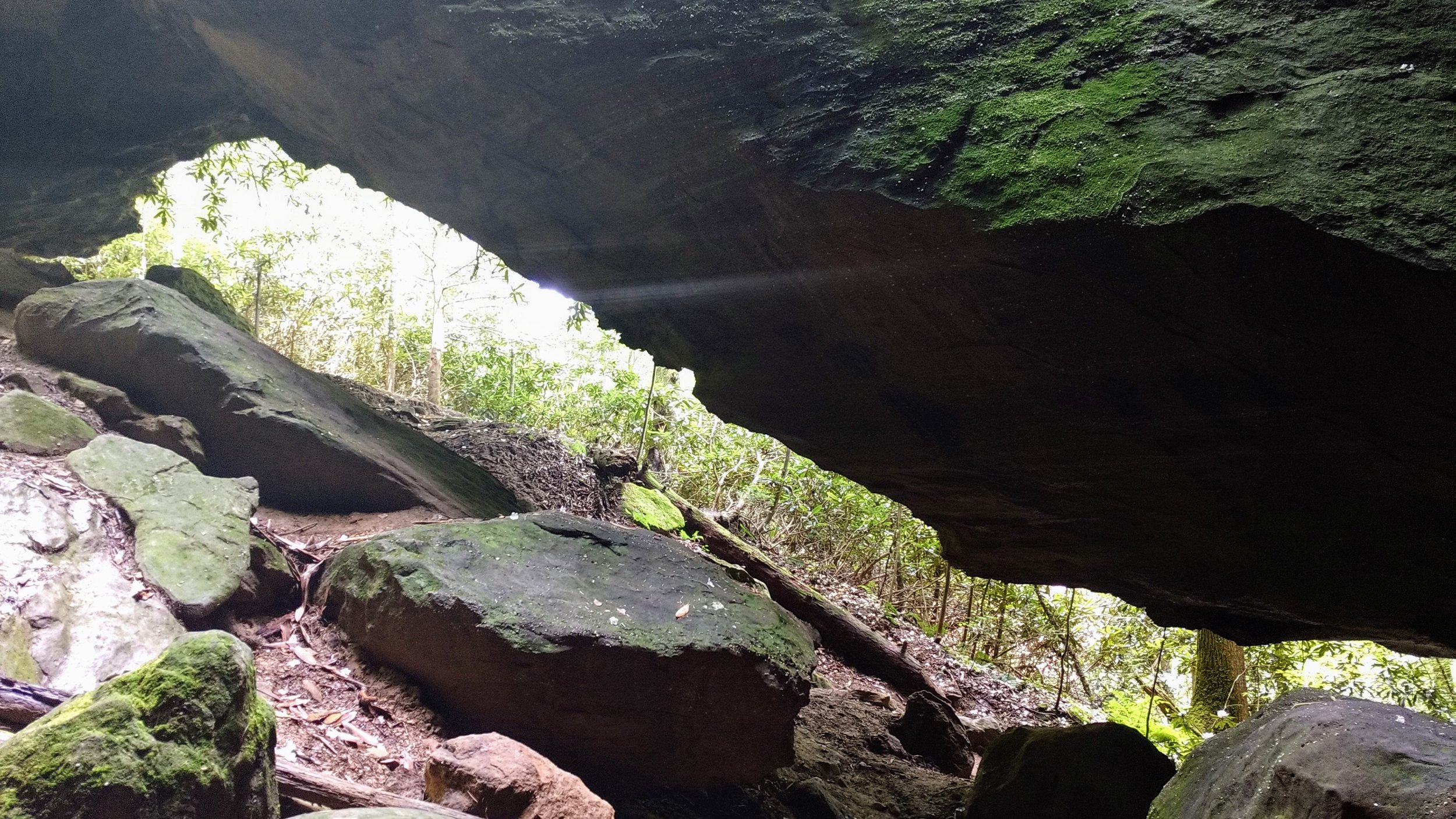
Silvermine Arch
/
Map of Silvermine Arch Trail
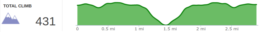
Elevation Profile of Silvermine Arch Trail
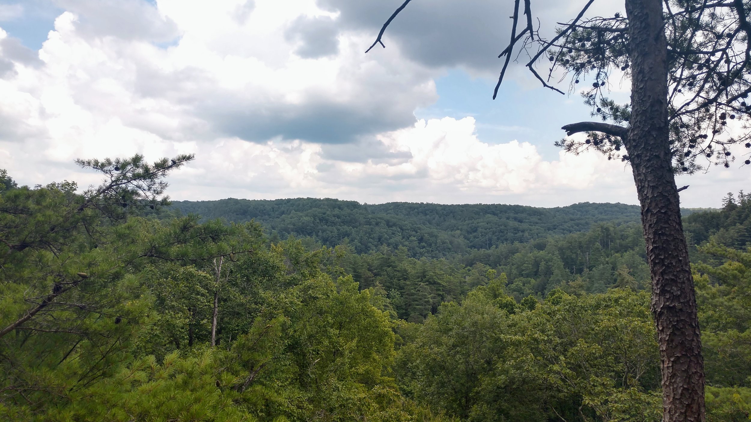
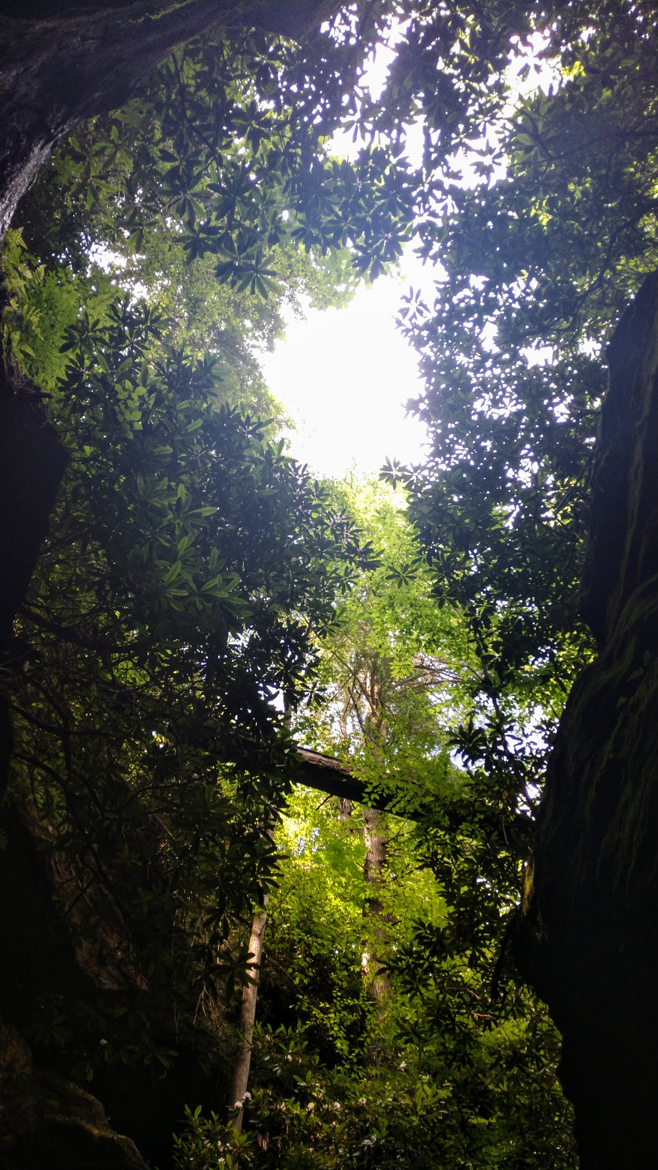
Overview. This is among my favorite hikes in Red River Gorge, as it offers a nice view, some modest challenge, and an almost magical micro-environment at the arch. Hiking this in the Summer heat, you get the added bonus of cooling off at the arch while taking in scenery that photography simply can’t do justice.
Route Type | Out and Back
Total Distance | 2.9 miles
Overall Difficulty | Easy to Moderate
USDA Forest Service Map of Red River Gorge Area
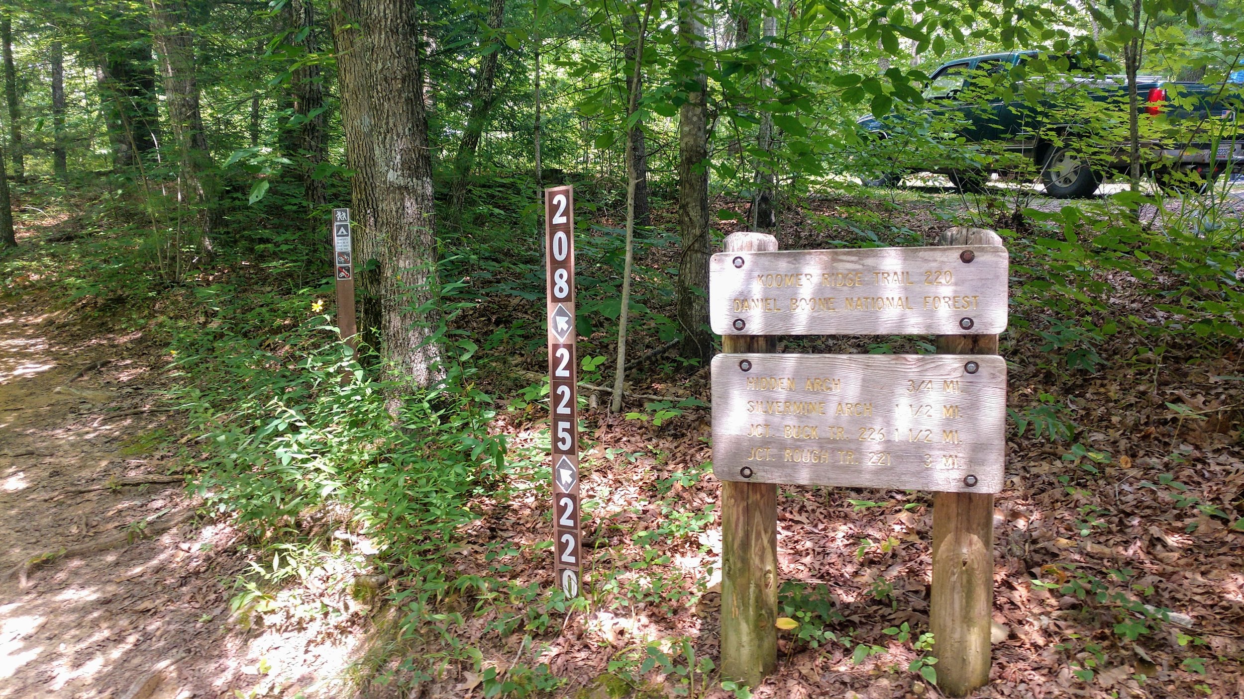
Trailhead. The trailhead for this hike is to the left as you enter Koomer Ridge Campground. Do NOT park in the camping area, as spaces are one parking space for one campsite. Take a left at the fork and then an immediate left into the parking lot. [map]
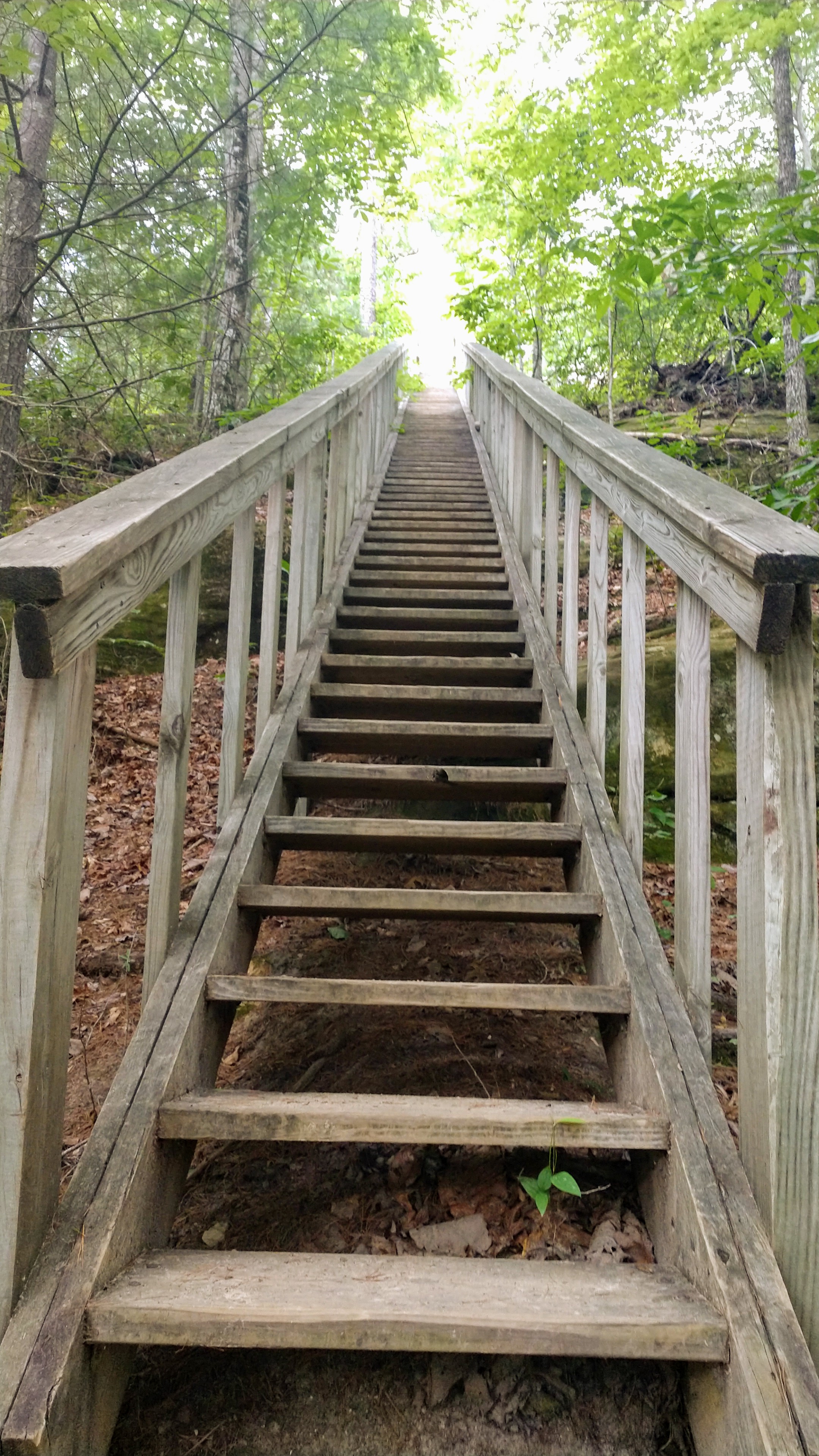
Trail navigation. This trail has a number of intersections while in the campground area, but all are marked with wooden posts. Follow the signs and white blazes out to the arch at mile 1.4.
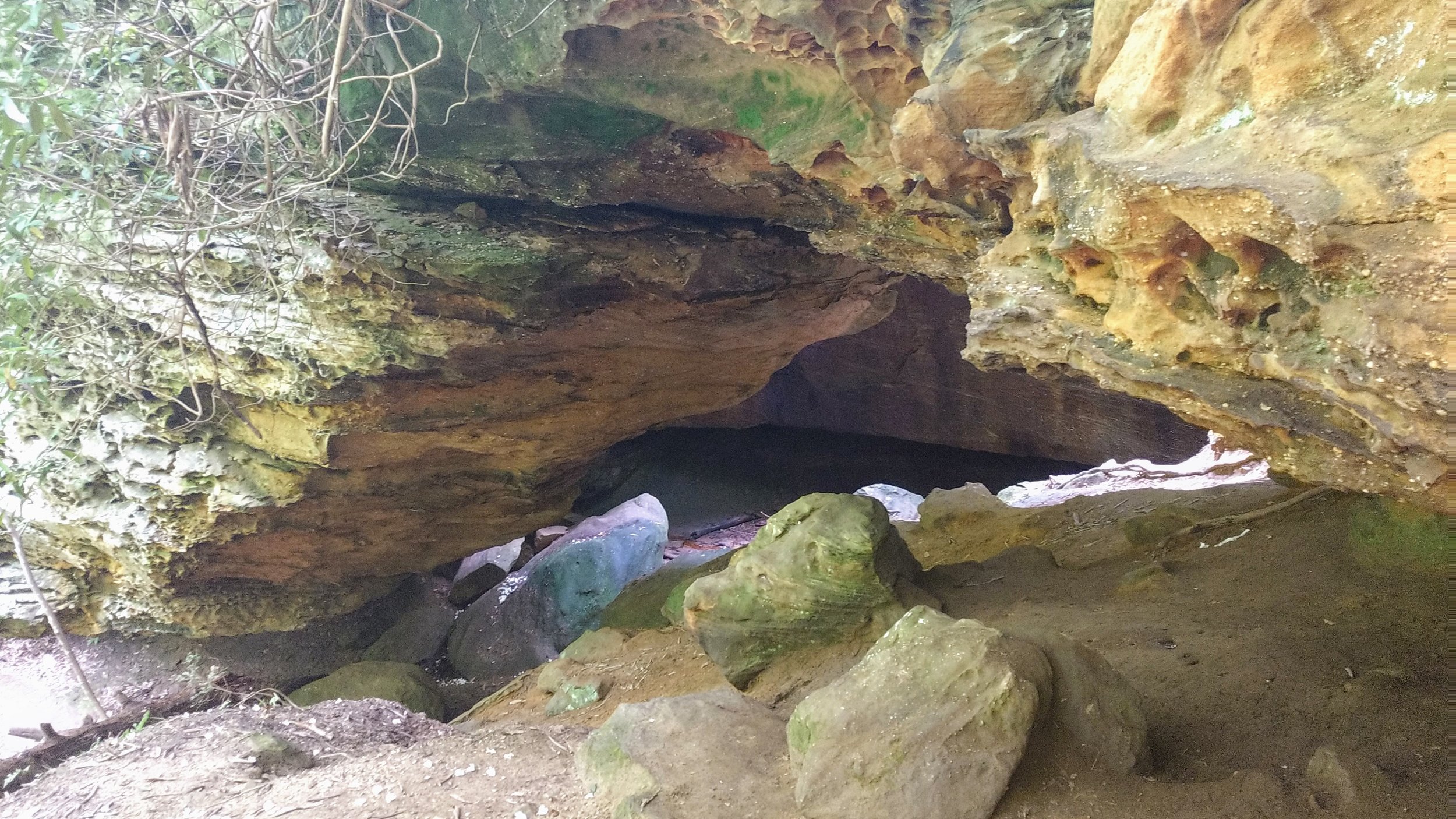
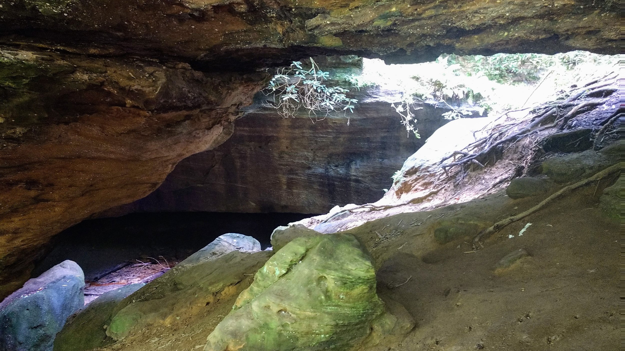
Tricky footing. Once at the arch, footing will get a little tricky with the trail running to the extreme left. To explore the area to the right, make your way over either high on the hill or take the trail to the bottom and crossover there.
CAUTION - Cliffs. Be careful to avoid getting too close the edge of cliffs, as this is the leading cause of serious injury and death when hiking in Red River Gorge.
CAUTION - Poisonous snakes. While the gorge is within the range of timber rattlesnakes, copperheads are the most common poisonous snake encountered. Stay alert on the trail, as snakes are commonly found taking in the warmth of the trail. Give them a wide berth or wait for them to move off the trail.
CAUTION - Bears. Black bears are growing in number throughout Daniel Boone National Forest. Be sure to follow bear safety precautions. [Be Bear Aware by US Forest Service]