Friendship Arch and Friendship Tube Out and Back
/

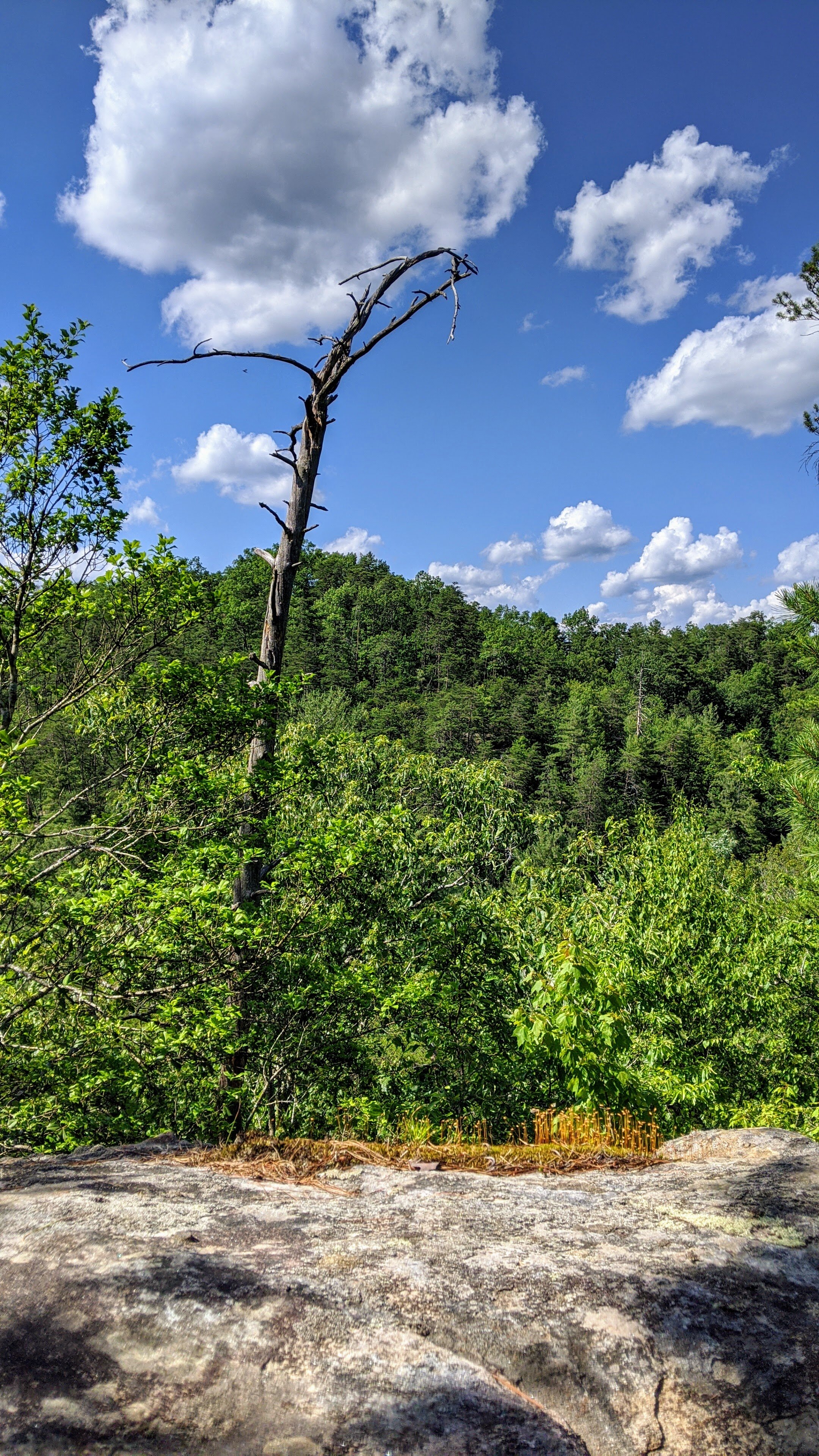
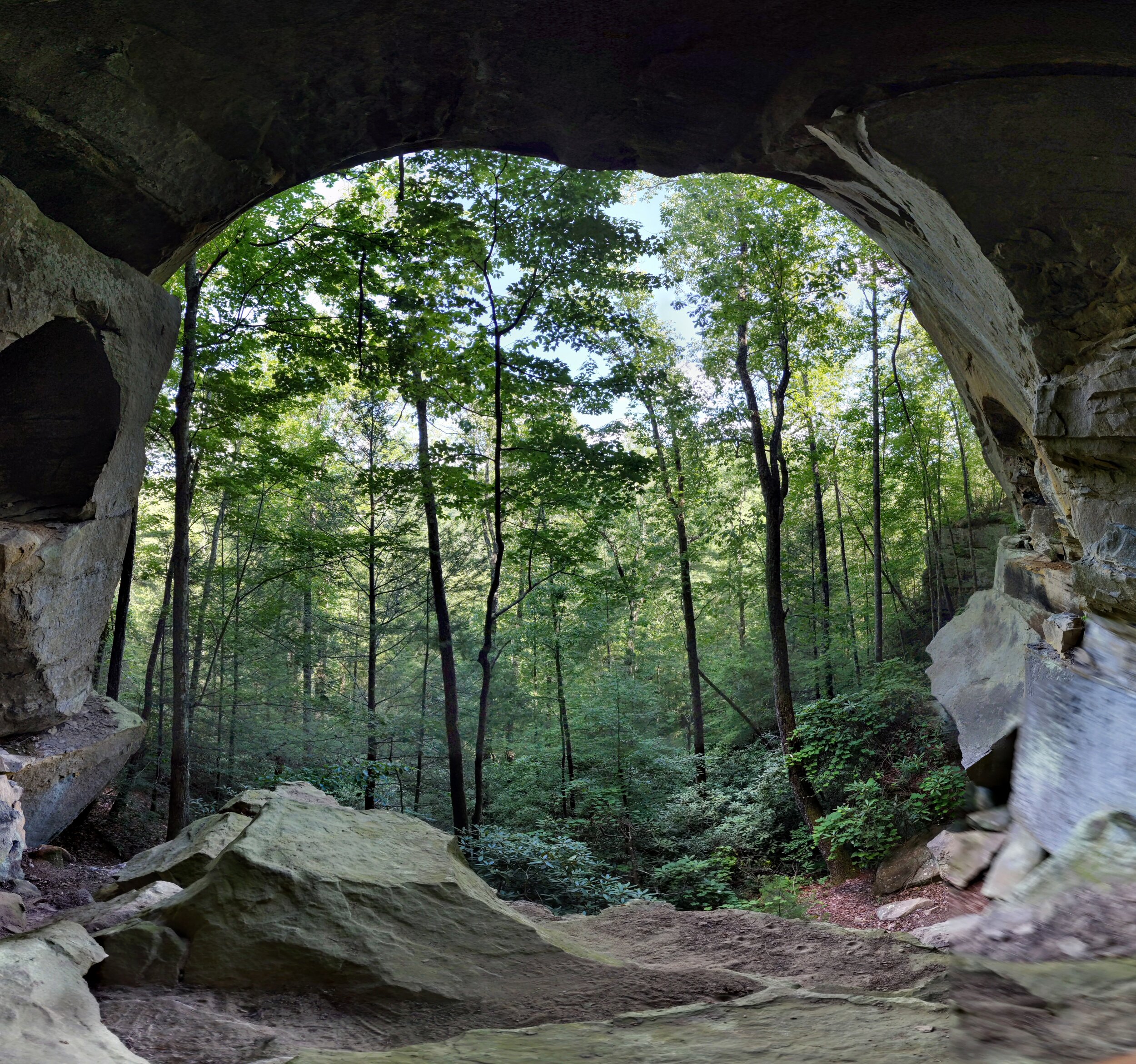
Overview. This short out and back is an easy hike with one steep descent. Friendship Tube is neat, but I really enjoyed Friendship Arch’s smooth walls and large pockets. As a bonus, there’s a nice view above Laurel Branch just before the big descent. It’s best to hike this in dry weather when the descent is more easily managed.
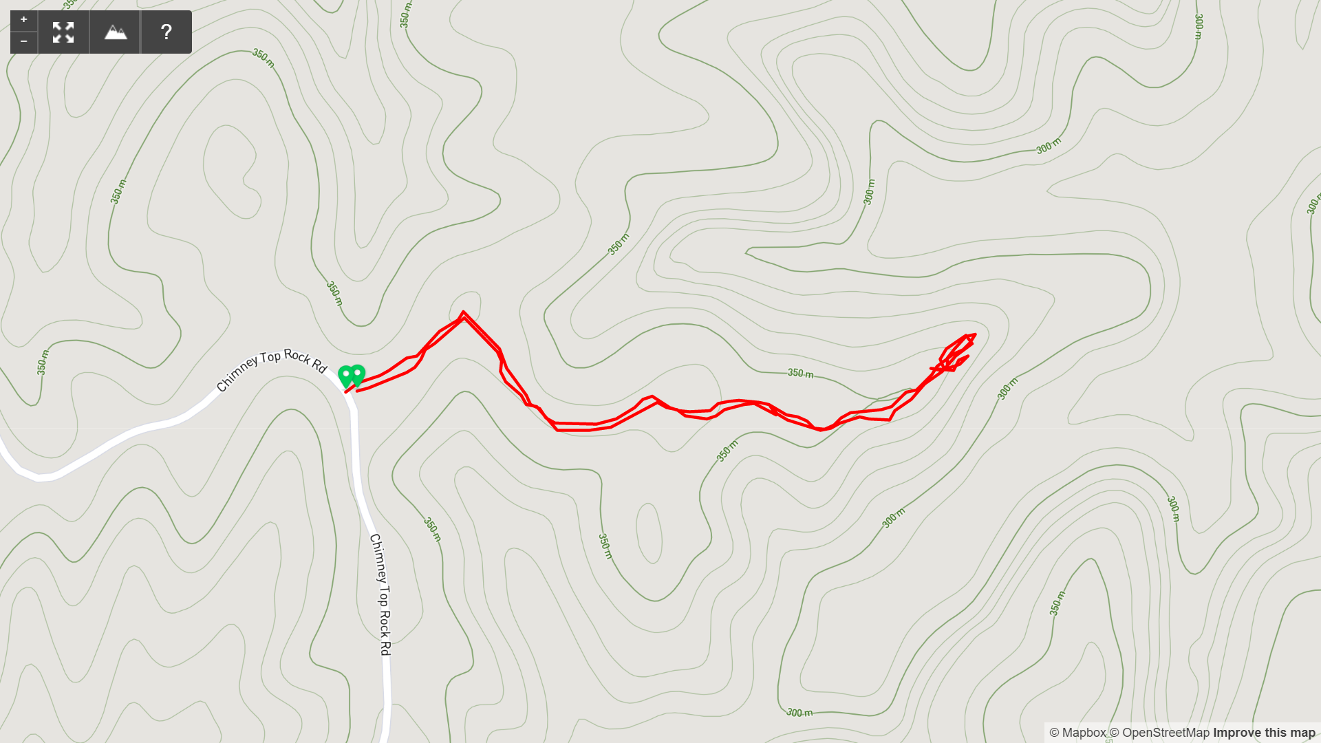
Route Type | Out and Back
Total Distance | 1 mile
Overall Difficulty | Easy + One Steep Section
this trail is unmarked; experienced hikers only
GPS Waypoints
Trailhead | 37.814315, -83.609395
Turn at Campsite | 37.815031, -83.608283
Laurel Branch Overlook | 37.814886, -83.603031
Friendship Tube | 37.814931, -83.603206
Friendship Arch | 37.814578, -83.603164
Trailhead. Limited parking is available roadside on Chimney Top Rock Road. [map]
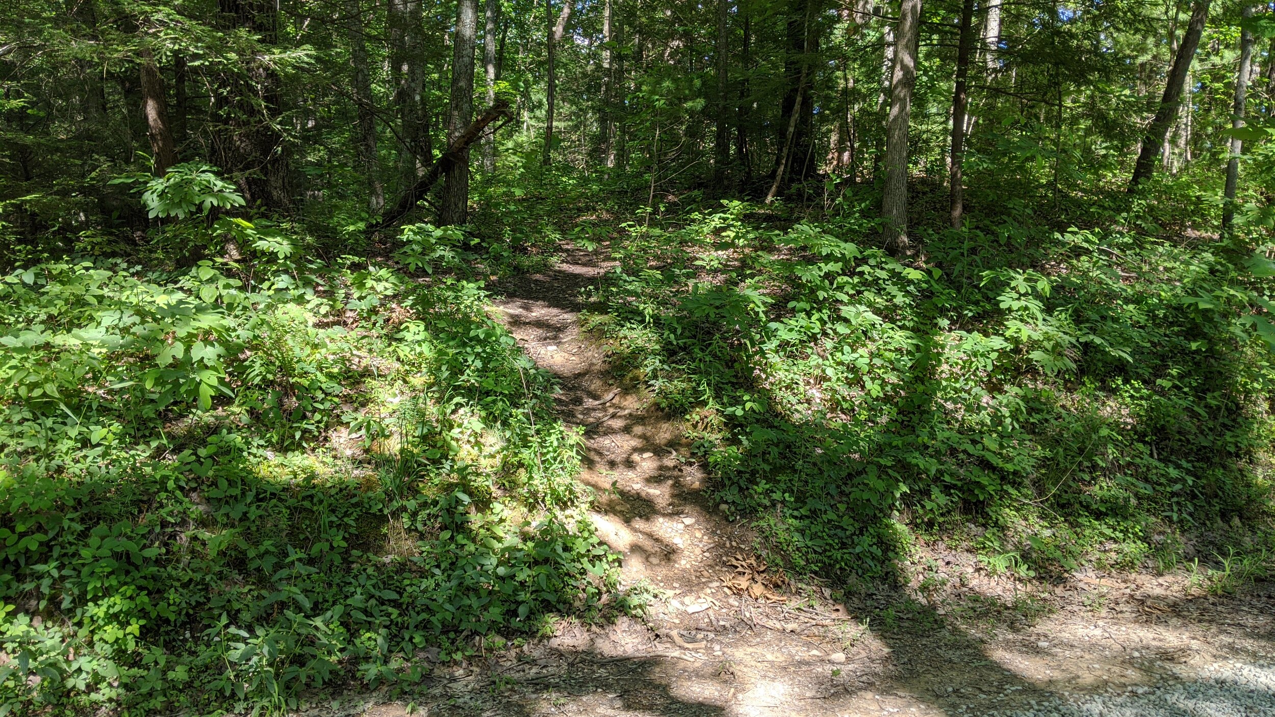
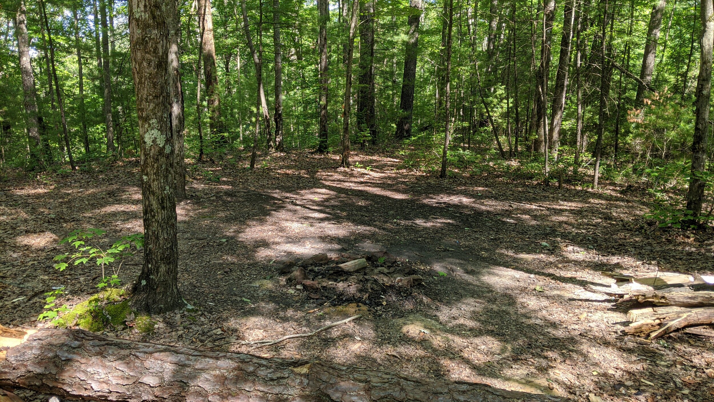
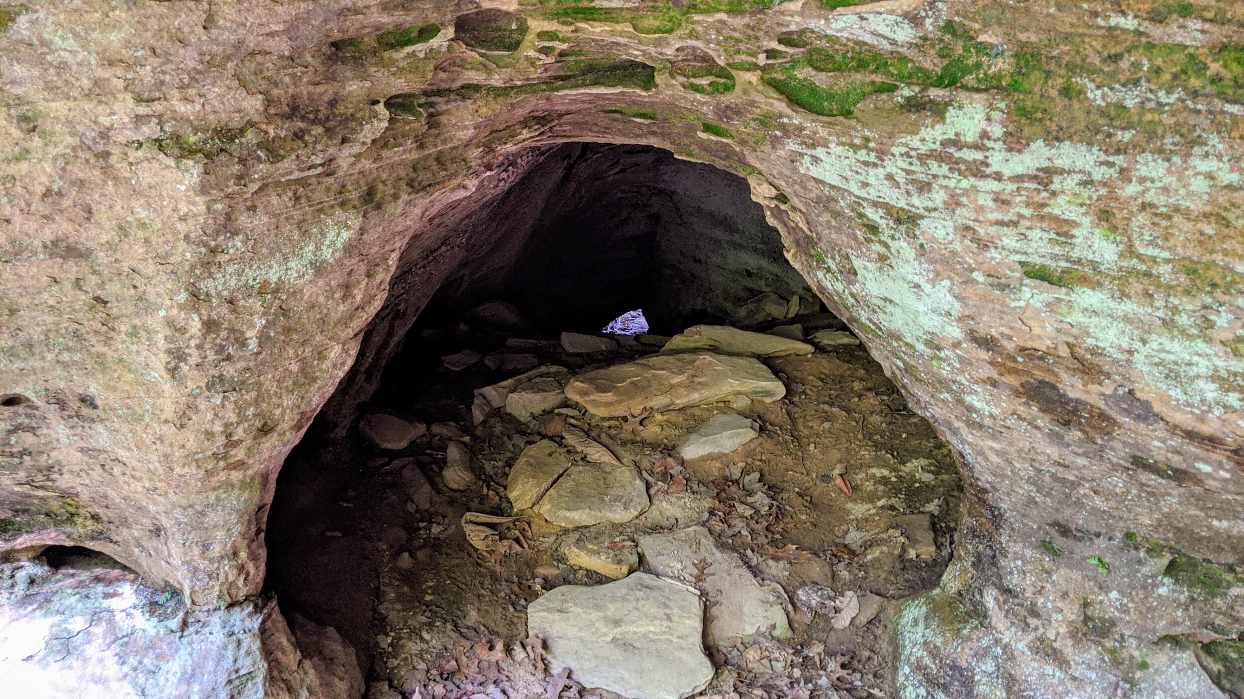
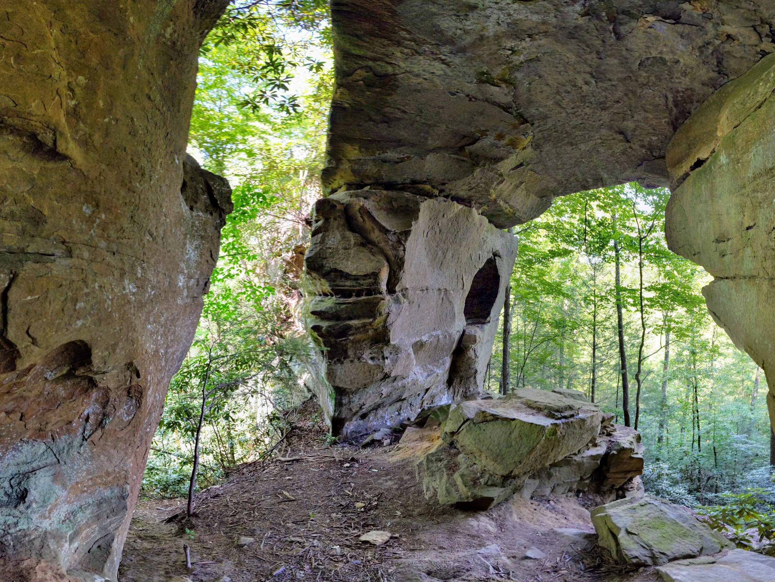
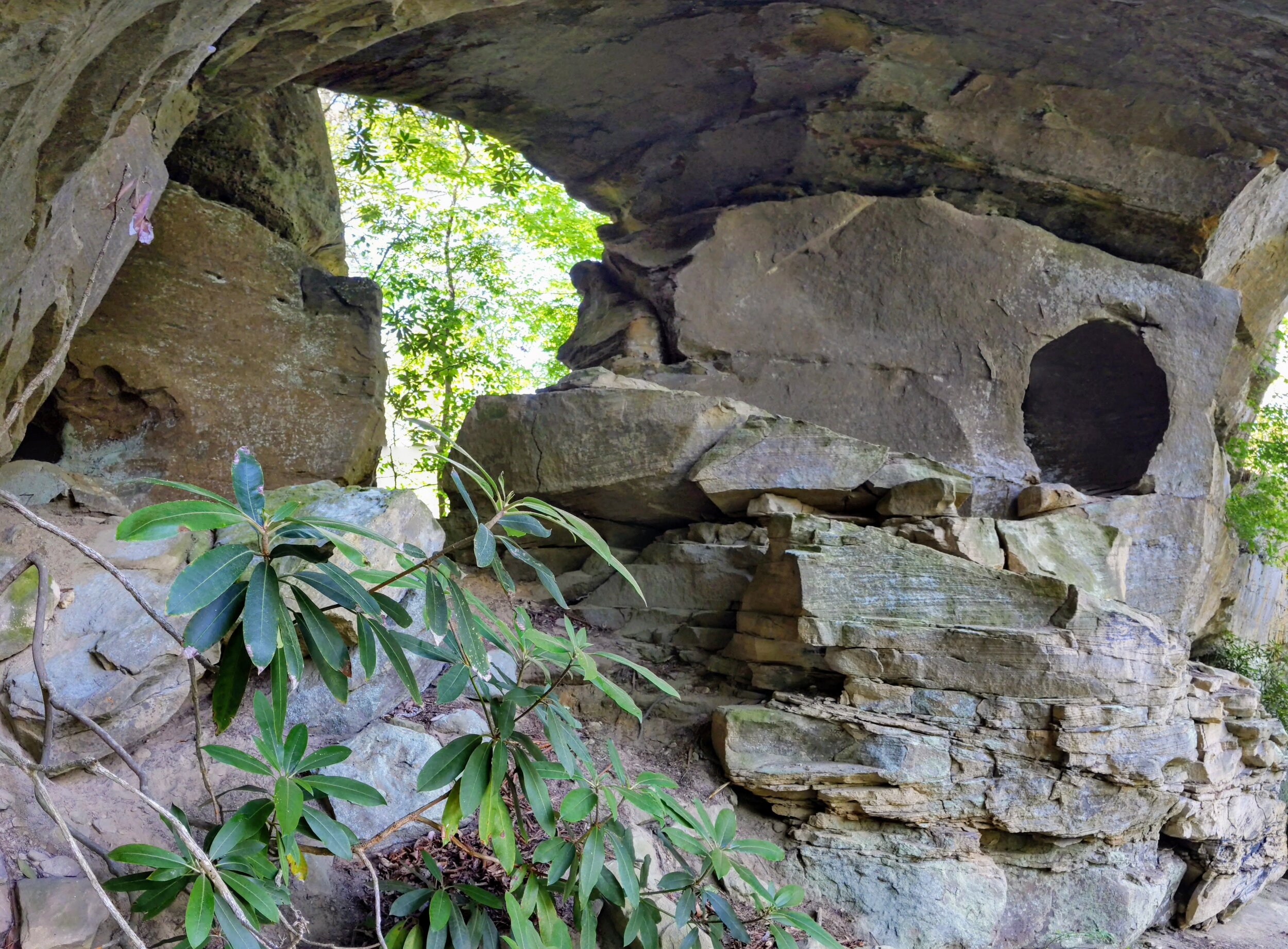
Trail navigation. There is another trail just north, so be sure to use the GPS waypoint to begin on the proper trailhead just before the sharp turn on Chimney Top Rock Road. Once on the trail, you’ll find a campsite less than 1/10th of a mile in. Turn right (southeast) and follow the somewhat narrower user trail out on the ridge. Continue on the trail that is a bit overgrown at times, passing on top of Friendship Arch until reaching the overlook. Turn left (northwest) down this very steep descent. While descending, brace yourself by extending your arms against the rock to either side. There are three tiers on the descent. The first is a rock shelf; the second is another rock shelf where you’ll find Friendship Tube; and the third is soil with a trail to the left (southwest) that leads to Friendship Arch. Take your time at Friendship Arch and enjoy the expansive view into the forest. Down below Friendship Arch is a small camp around the large boulders that appears to have been setup a long time ago. Note that you should never have a campfire under rock shelters or cliffs, as they leave long lasting scars. When you’re ready, turnaround and retrace your steps. Also, if you care to explore the other trail from the campsite near the beginning of the hike - don’t. I followed the trail back to a large campsite and beyond until the trail died, then onto some game trails - and nothing but cuts and scrapes to show for it;-)
Cat’s Paw and Tabletop Arch. These can be found off this trail, but during the growing season, the amount of scrub is far too thick to be even remotely enjoyable. Seriously, it is THICK AF this time of year - save it for late Fall through mid-Spring.
CAUTION - Cliffs. Be careful to avoid getting too close the edge of cliffs. This hike may not be suitable for younger children.
CAUTION - Poisonous snakes. Timber rattlesnakes and copperheads can be found in the region. Stay alert on the trail, as snakes are commonly found taking in the warmth of the trail. Give them a wide berth or wait for them to move off the trail.
CAUTION - Bears. Black bears are growing in number throughout Daniel Boone National Forest. Be sure to follow bear safety precautions. [Be Bear Aware by US Forest Service]