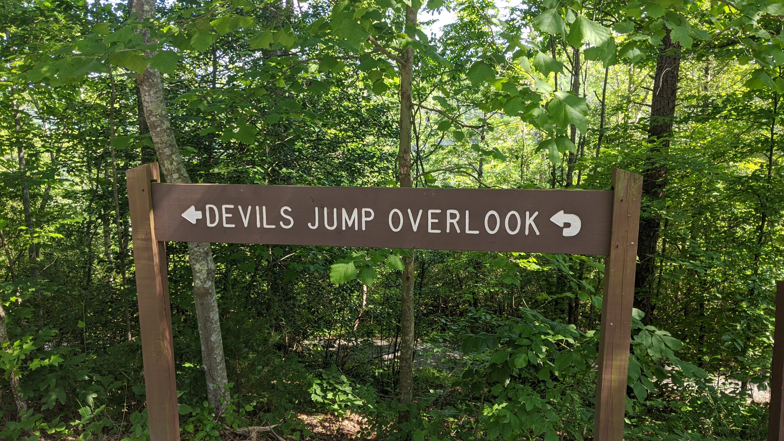
Devil's Jump Overlook
/
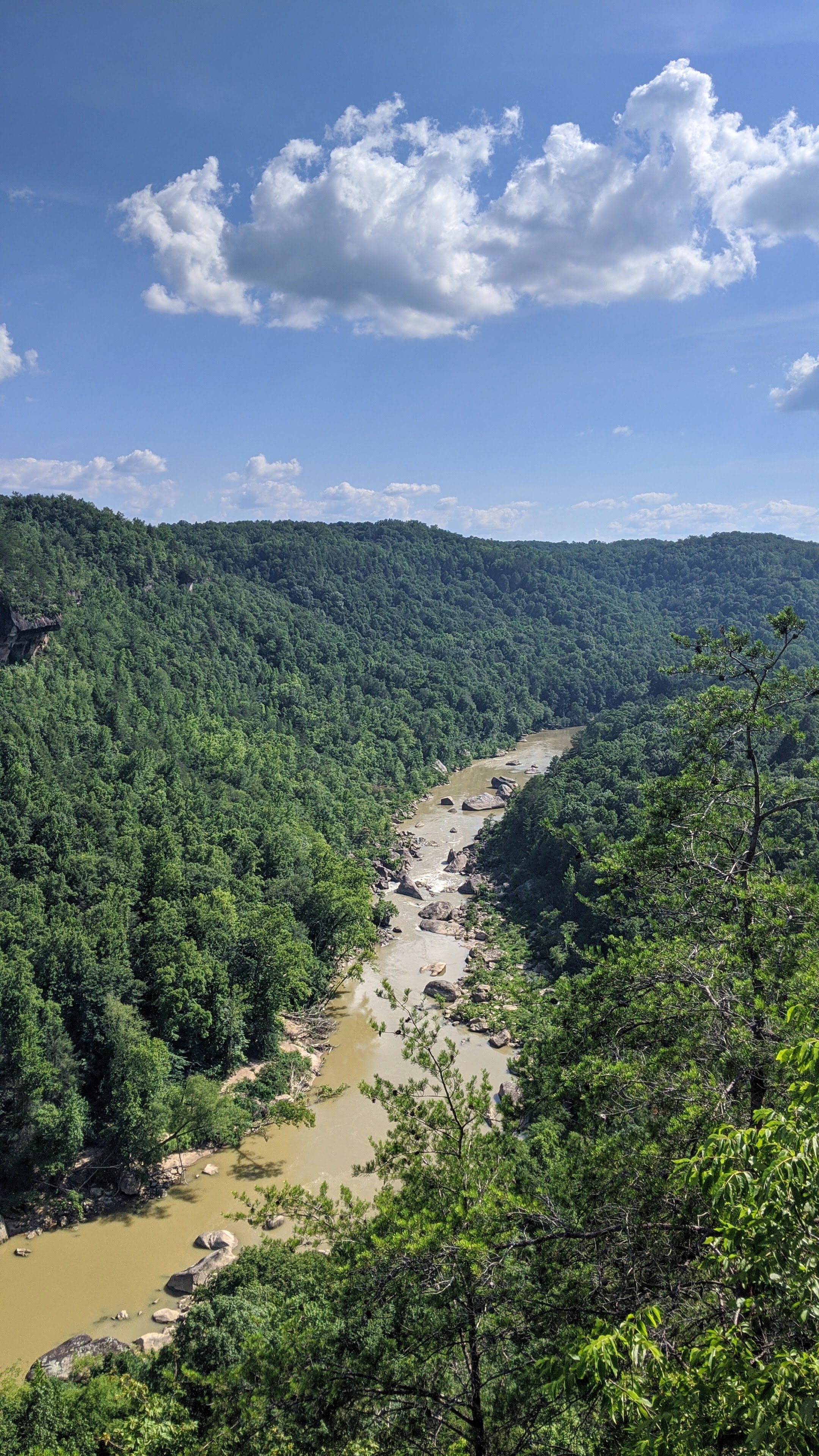
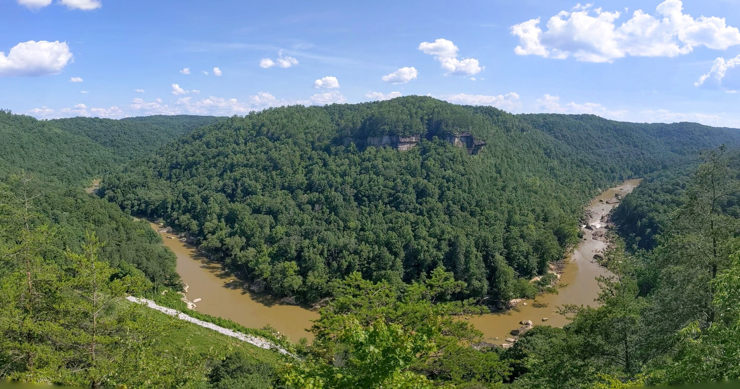
Overview. This short, accessible, walk-out hike is on paved trail leading to a large platform structure with bench seating and some shade:-) The draw is a fantastic view of Devl’s Jump - a set of rapids on the South Fork of Cumberland River.
Route Type | Out and Back
Total Distance | 0.3 miles
Overall Difficulty | Easy
Map of Big South Fork NRRA
GPS Waypoints
Trailhead | 36.674311, -84.537817
Overlook | 36.674022, -84.537075
Trailhead parking. Maybe a dozen or so parking spaces are available along the road here with plenty more at the end of the road at Blue Heron Overlook. [map]
Trail navigation. Find the trailhead at the center of the line of parking spots and turn left to reach the overlook. You’ll come across two intersections - stay straight at both.
CAUTION - Poisonous snakes. Timber rattlesnakes and copperheads can be found in the region. Stay alert on the trail, as snakes are commonly found taking in the warmth of the trail. Give them a wide berth or wait for them to move off the trail.
CAUTION - Bears. Black bears are growing in number throughout Eastern Kentucky. Be sure to follow bear safety precautions. [Be Bear Aware by US Forest Service]