Clear Creek Hollow Out and Back
/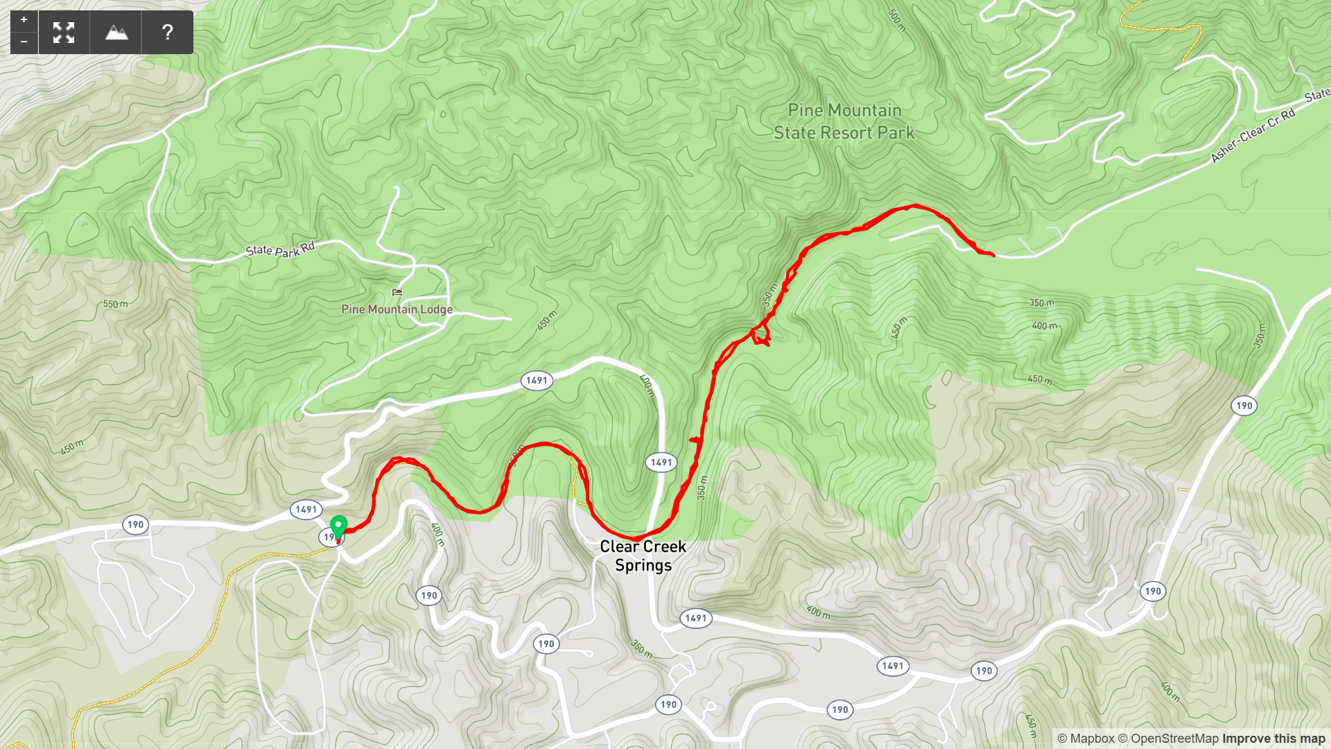
Map of Clear Creek Hollow Out and Back Hike, Pine Mountain State Scenic Trail

Elevation Profile of Clear Creek Hollow Out and Back
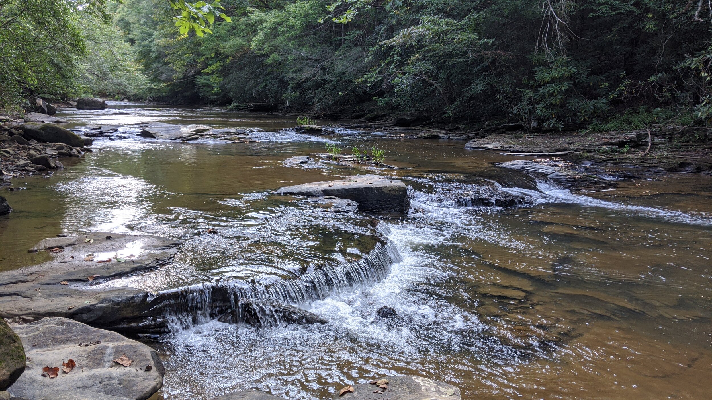
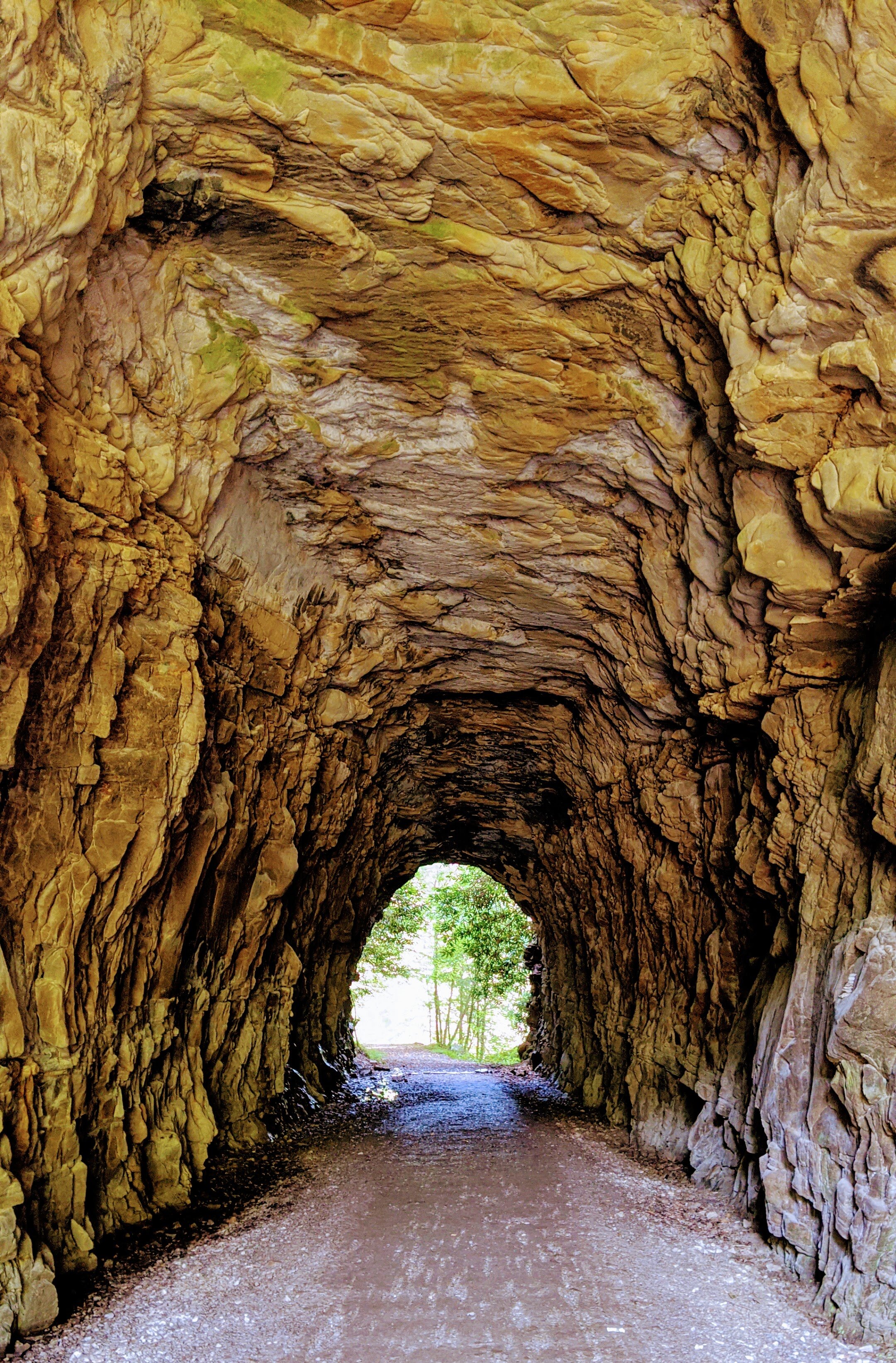
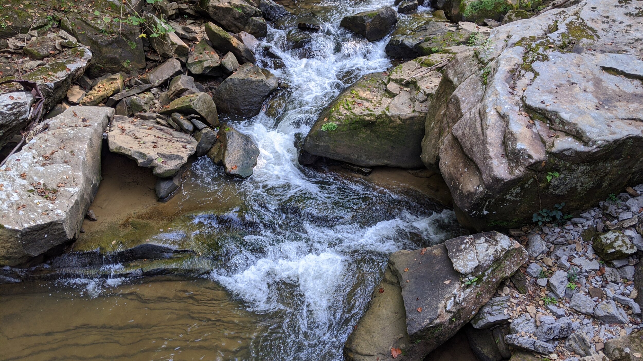
Overview. This is a terrific trail and one that’ll be loved by the whole family. Walk along the scenic Clear Creek, pass through an old railroad tunnel, and see if you can spot the remnants of the old papermill. If you have younger kiddos, use the KY-1491 trailhead and walk east to shorten the hike.
Route Type | Out and Back
Total Distance | 5 miles
Overall Difficulty | Easy
Map of Pine Mountain State Resort Park
GPS Waypoints
KY-190 Trailhead (west) | 36.727747, -83.740592
KY-1491 Trailhead (central) | 36.728192, -83.727581
Tunnel | 36.735218, -83.722917
Asher-Clear Creek Rd Trailhead (east) | 36.737786, -83.714117
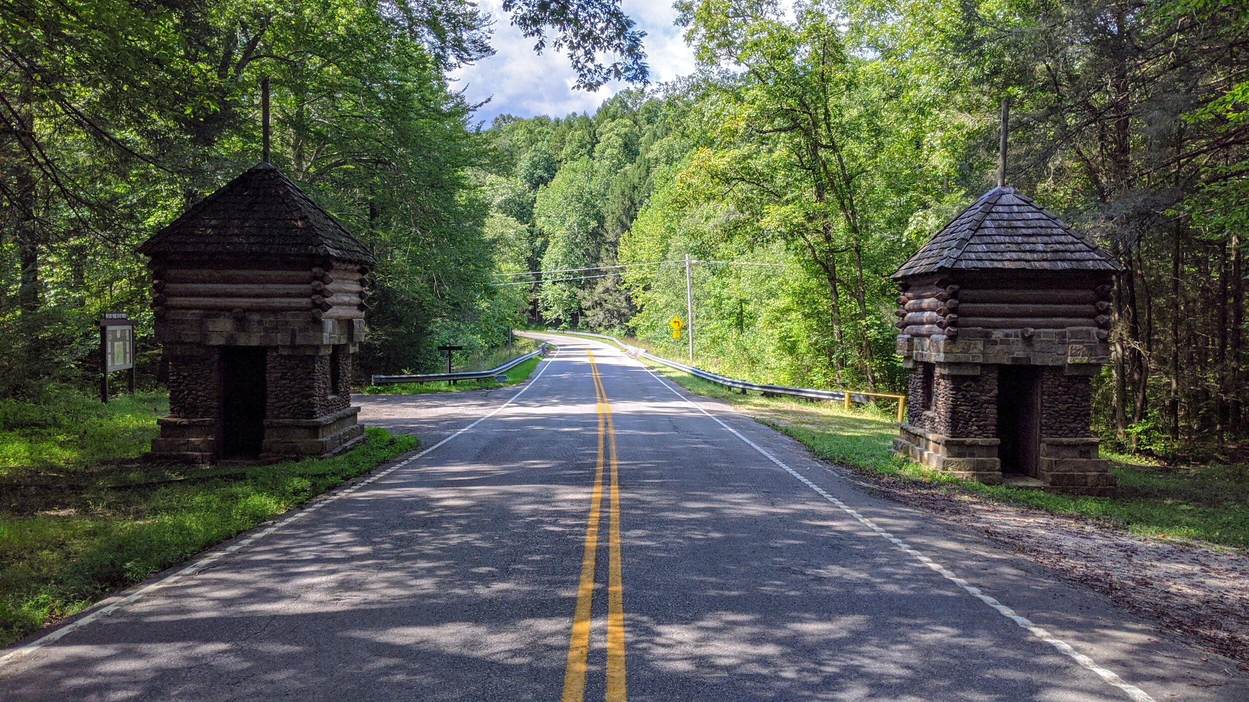
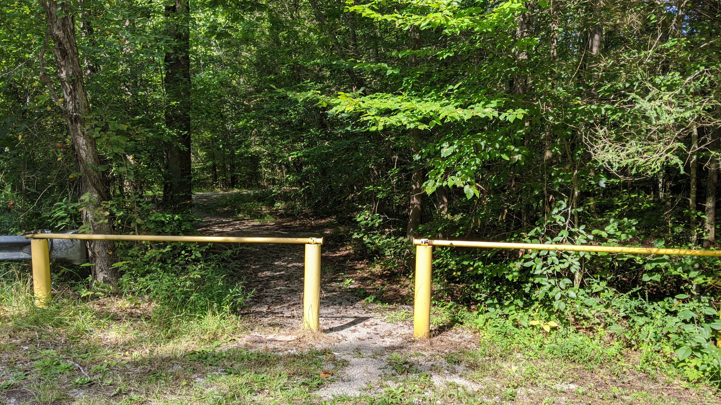
Trailhead. Parking is available adjacent to the gatehouses that mark Kentucky Ridge State Forest. The trailhead is on the east side of the road at the yellow gates. [map]
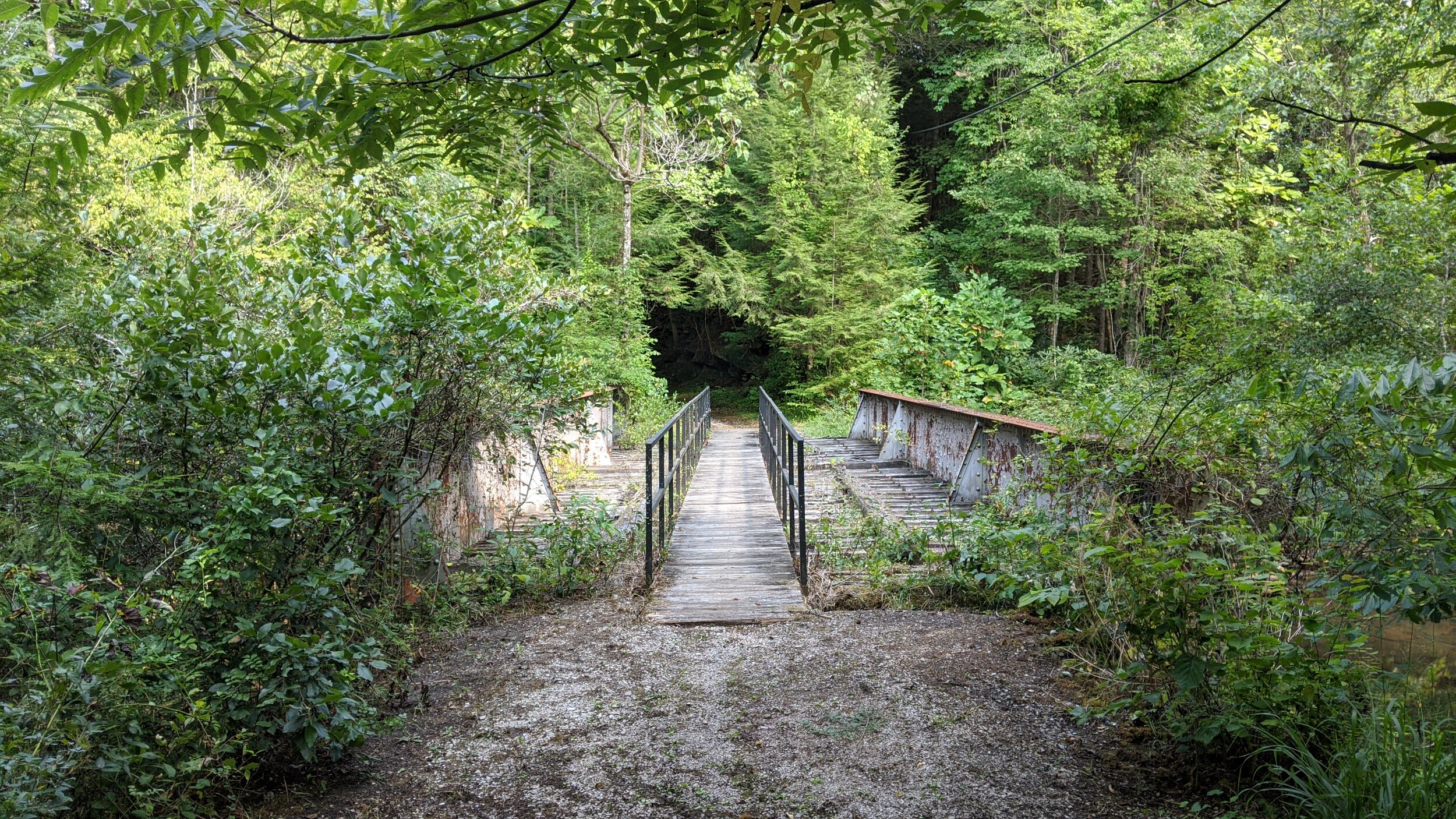
Trail navigation. Follow the wide gravel trail out and back, taking care on the old railroad bridges to stay on the footbridge on top of them. Drop down to the creek whenever you like to enjoy the scene or play in the water.
CAUTION - Poisonous snakes. Timber rattlesnakes and copperheads can be found in the region. Stay alert on the trail, as snakes are commonly found taking in the warmth of the trail. Give them a wide berth or wait for them to move off the trail.
CAUTION - Bears. Black bears can be found throughout the Pine Mountain region. Be sure to follow bear aware practices. [Be Bear Aware by US Forest Service]