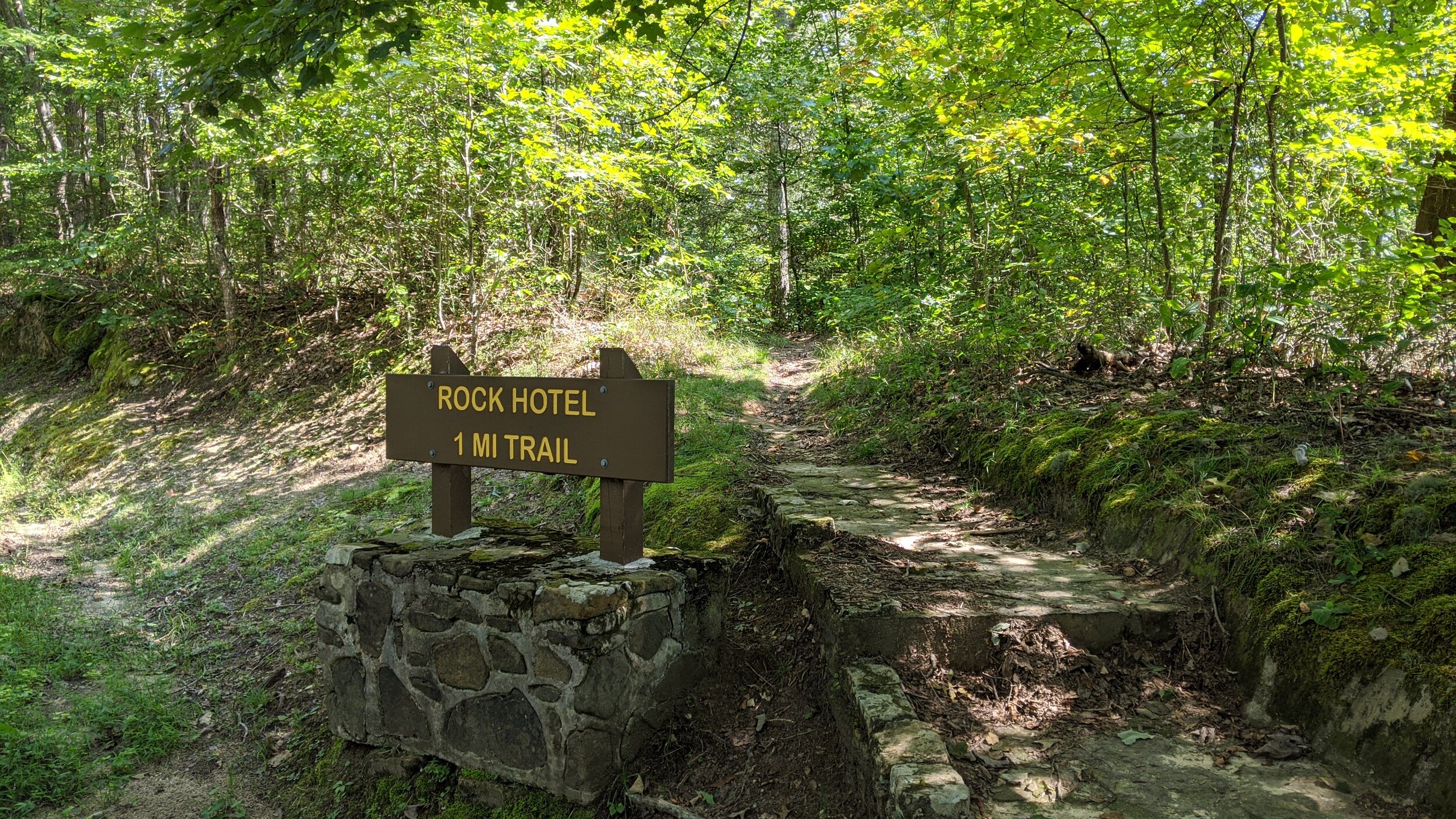
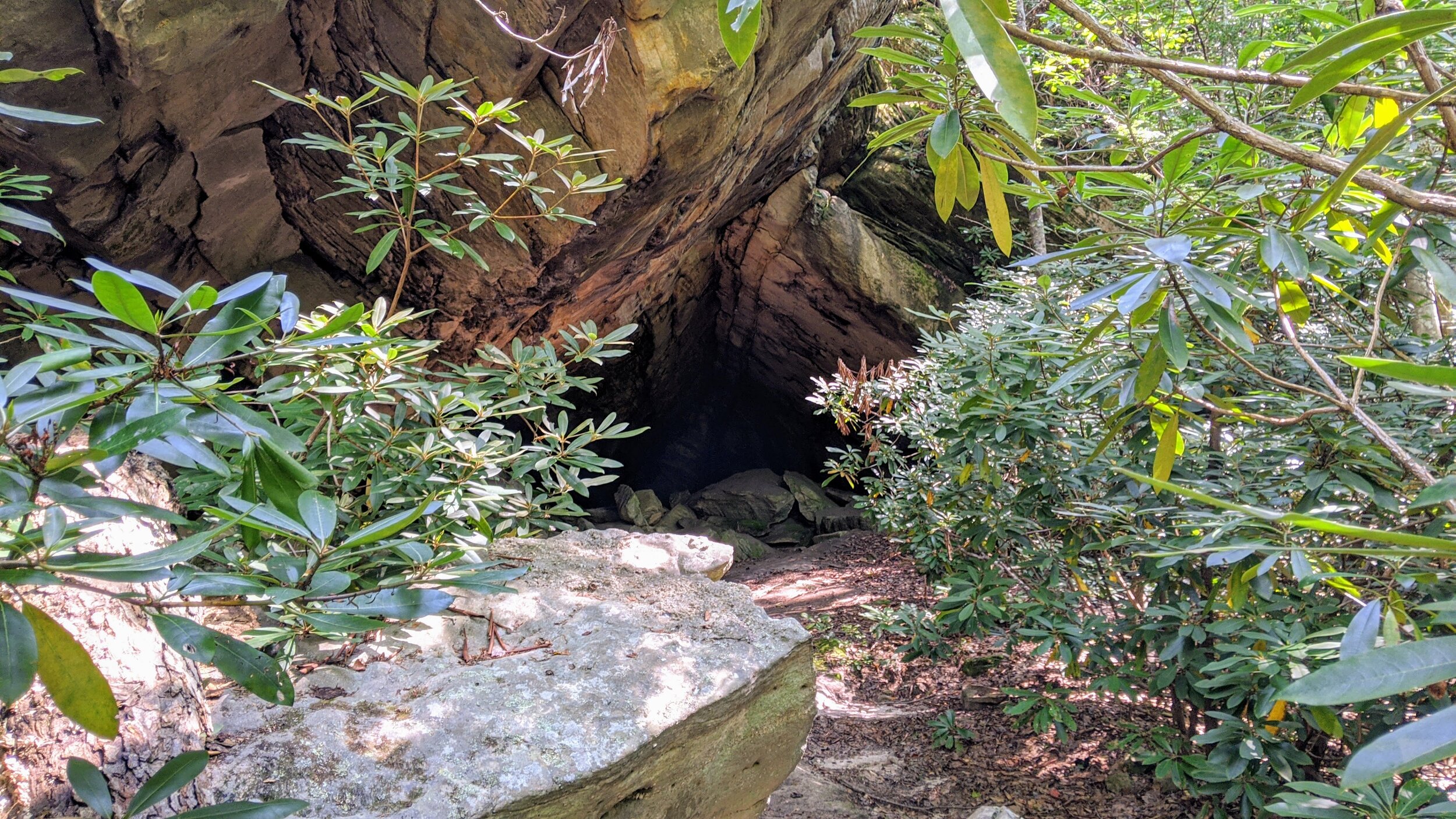
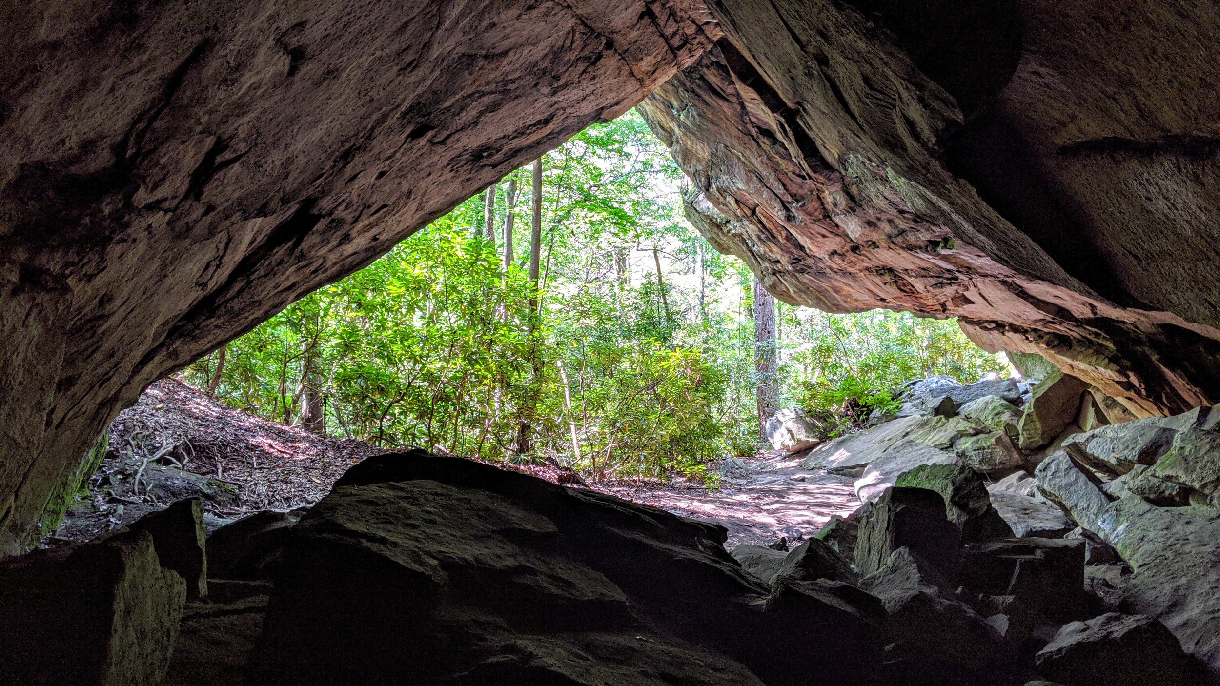
Rock Hotel at Pine Mountain SRP
/
Map of Rock Hotel Hike, Pine Mountain State Resort Park
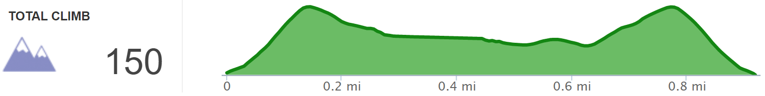
Elevation Profile of Rock Hotel Hike
Overview. This lollipop takes you to an A-framed rock shelter that’s goes pretty deep into the rock. It’s a great destination on hot days for the all natural air conditioning provided here. The walk around the loop portion of the lollipop goes through some rhododendron and would be best when they’re in season in late June into July.
Route Type | Lollipop
Total Distance | 0.9 miles
Overall Difficulty | East with Modest Climbs
Map of Pine Mountain State Resort Park
GPS Waypoints
Trailhead | 36.747719, -83.712167
Intersection #1 | 36.750236, -83.711383
Rock Hotel | 36.750081, -83.712131
Intersection #2 | 36.750786, -83.710400
Trailhead. Limited roadside parking is available at the trailhead. [map]
Trail navigation. Begin by taking the steps from the trailhead and walk the modest uphill section before descending. Reach the first trail intersection and turn left (west) to reach Rock Hotel. Continue around on the loop to reach the second intersection and turn right to return to the trailhead.
CAUTION - Poisonous snakes. Timber rattlesnakes and copperheads can be found in the region. Stay alert on the trail, as snakes are commonly found taking in the warmth of the trail. Give them a wide berth or wait for them to move off the trail.
CAUTION - Bears. Black bears are growing in number throughout the Pine Mountain region. Be sure to follow bear safety precautions. [Be Bear Aware by US Forest Service]