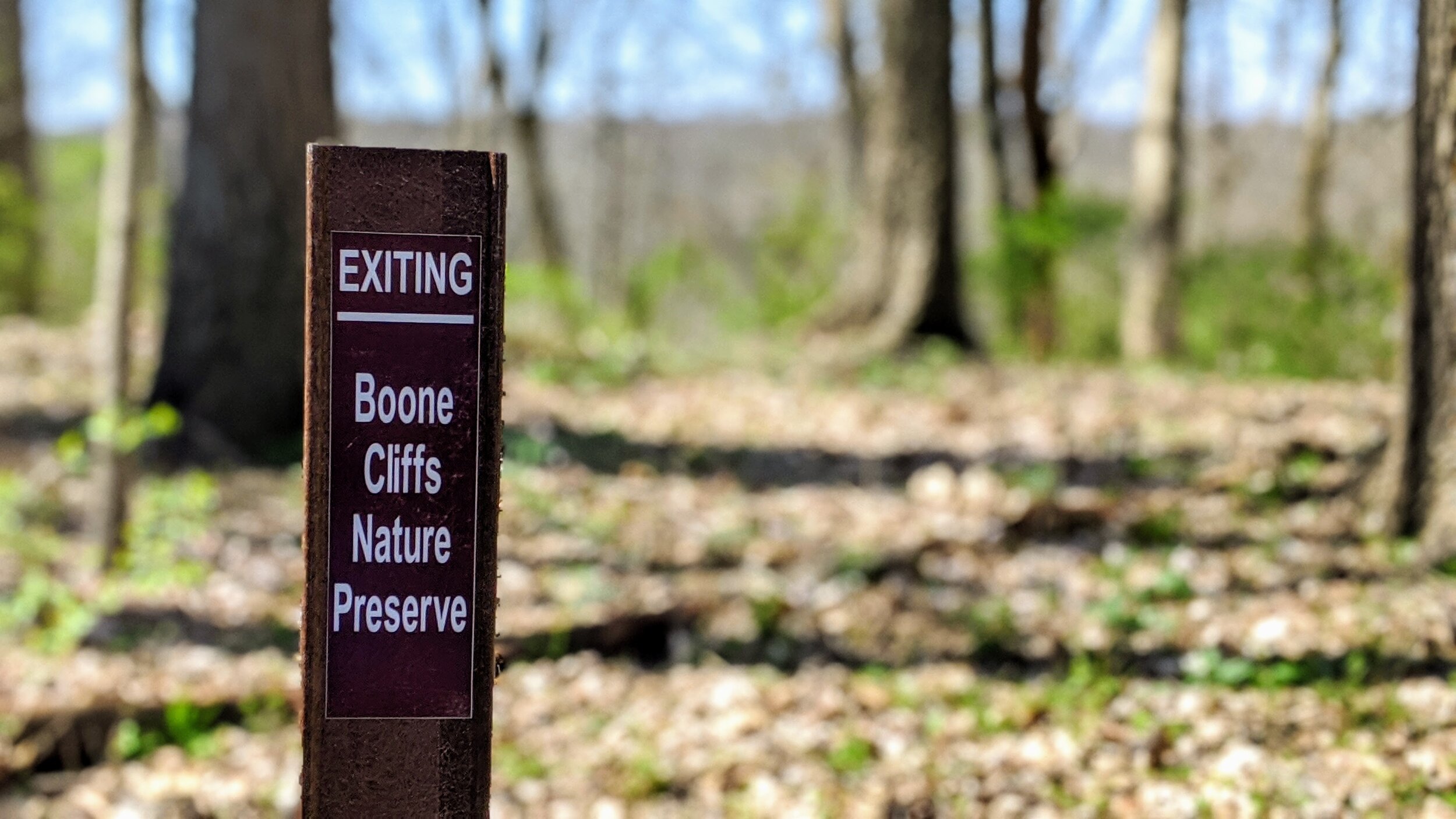
Boone Cliffs State Nature Preserve Loop
/
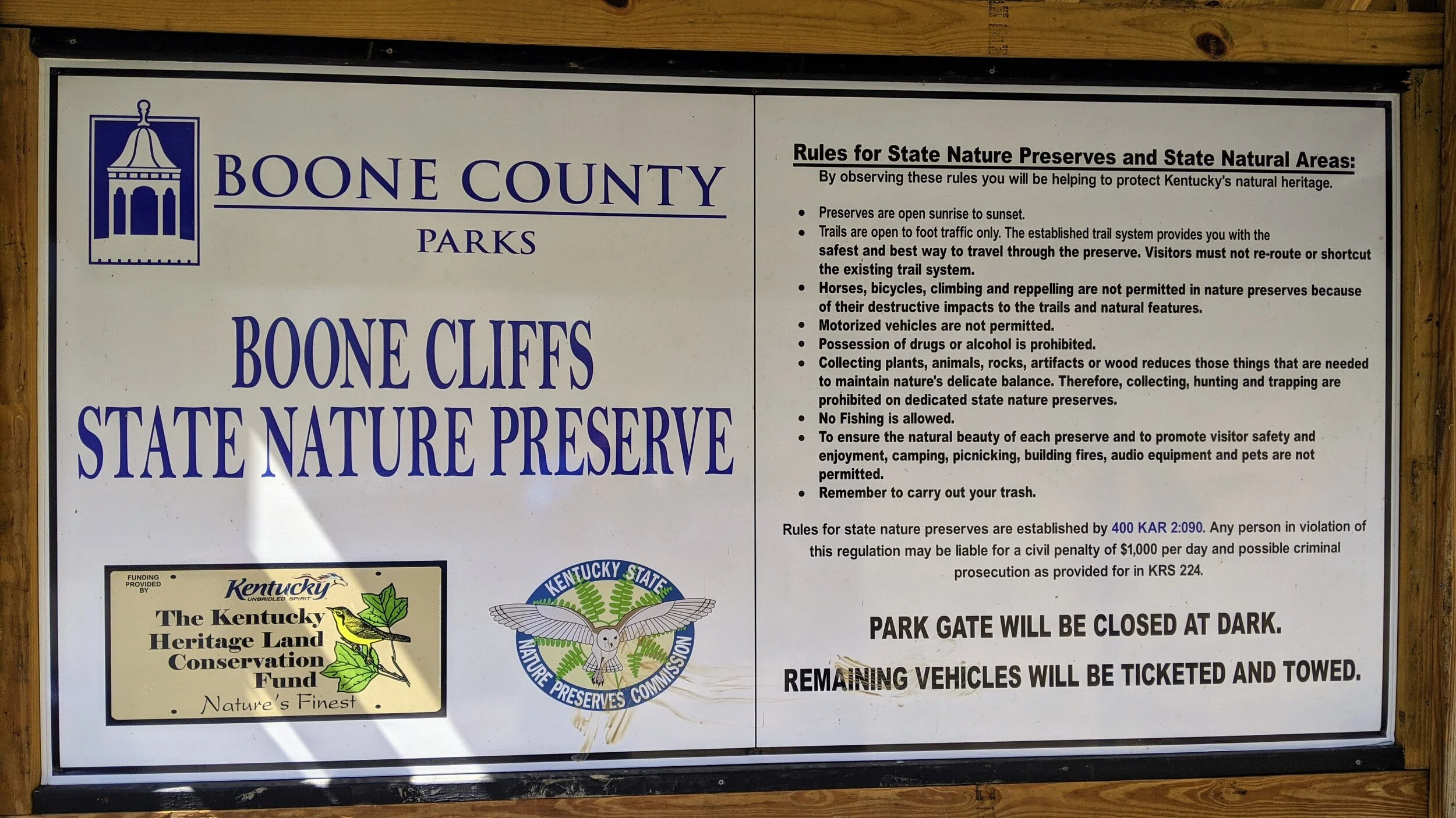
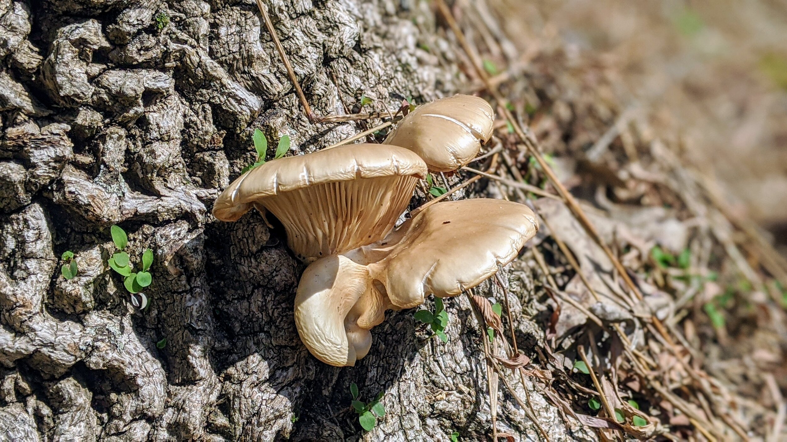
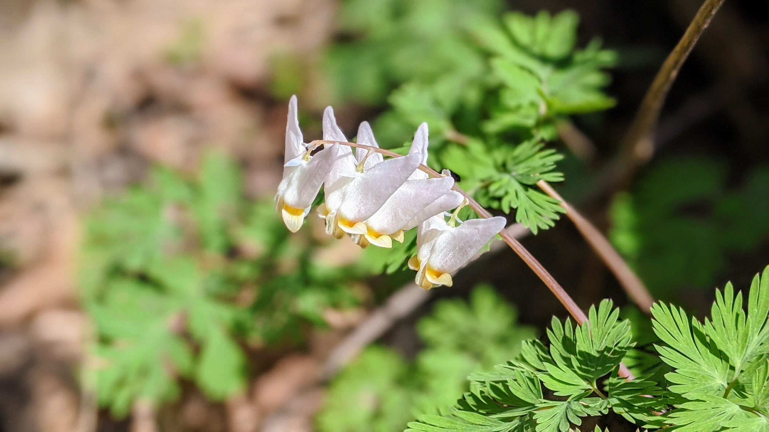
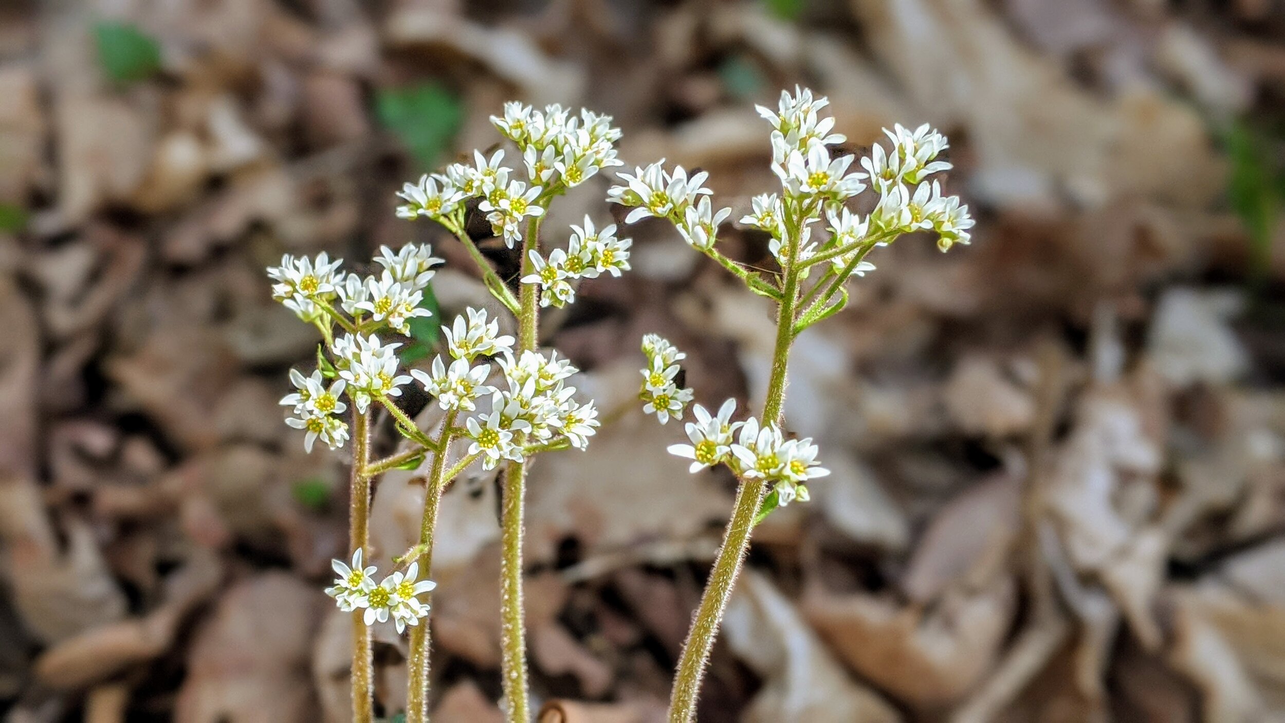
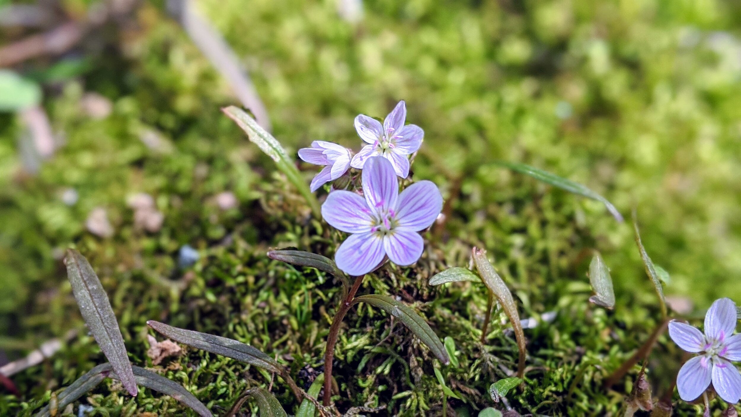
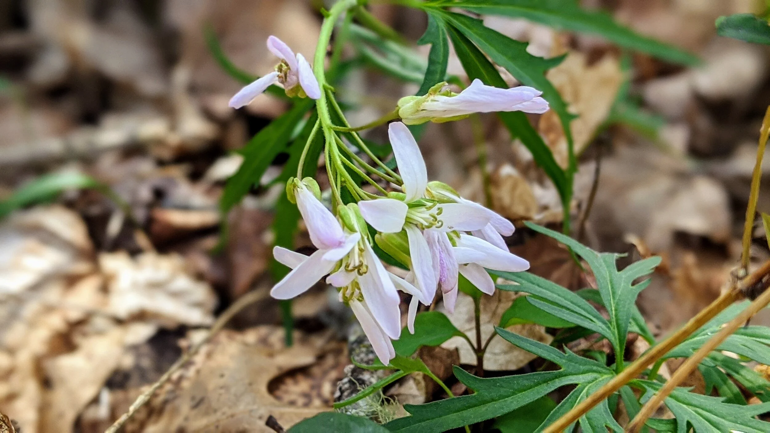
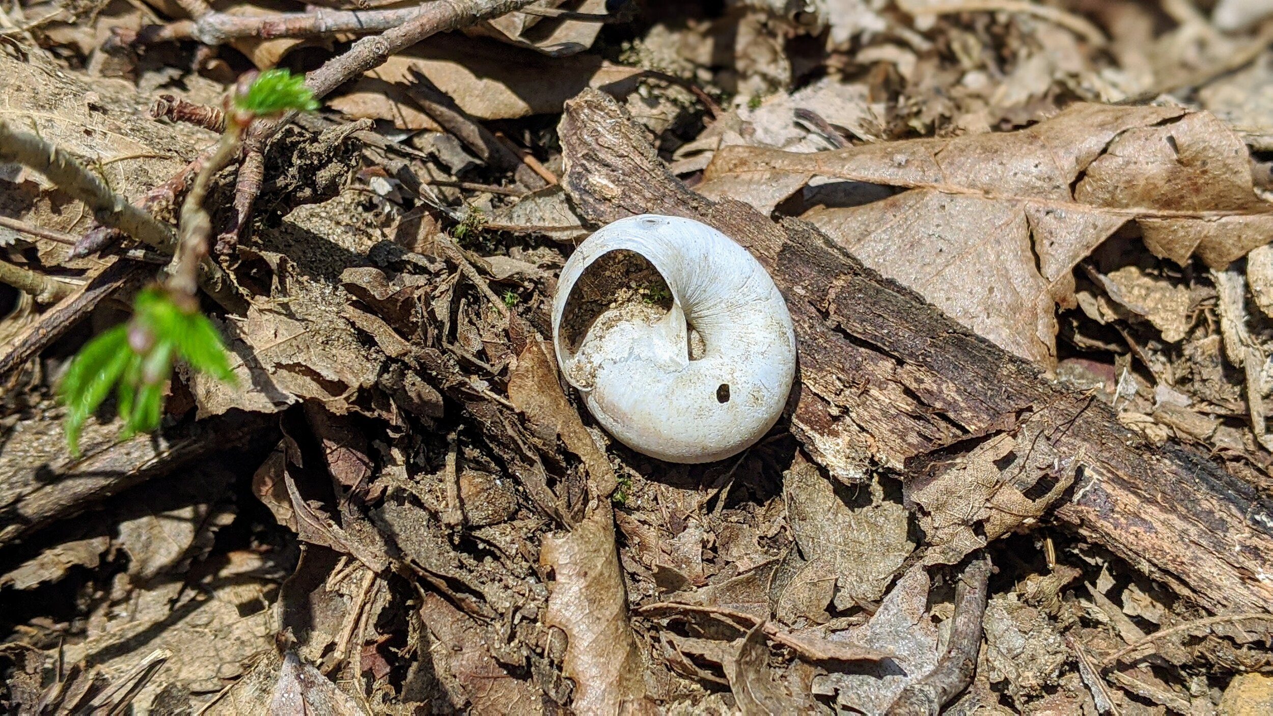
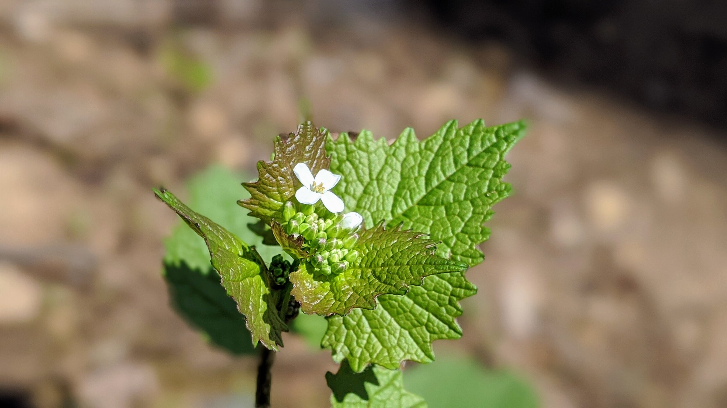
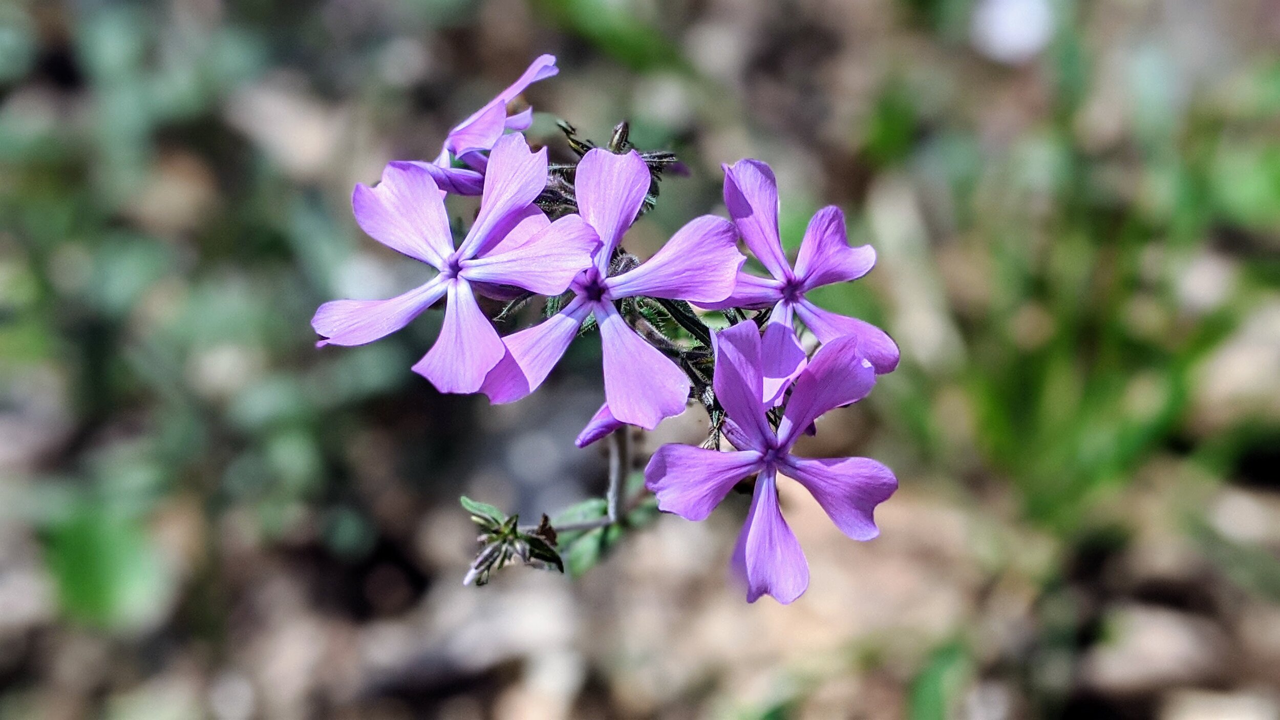
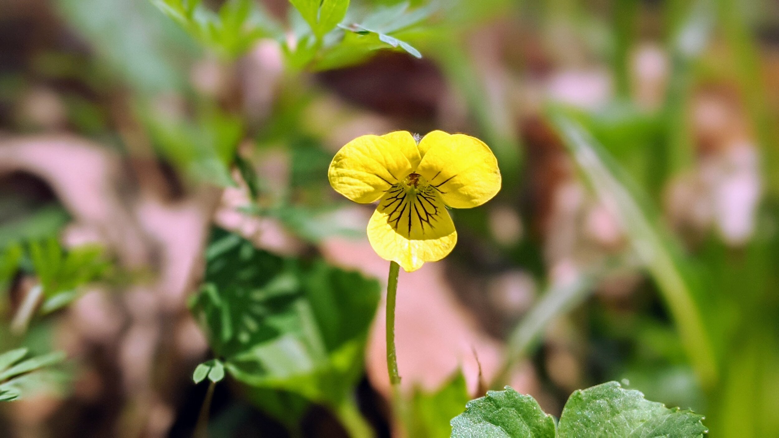
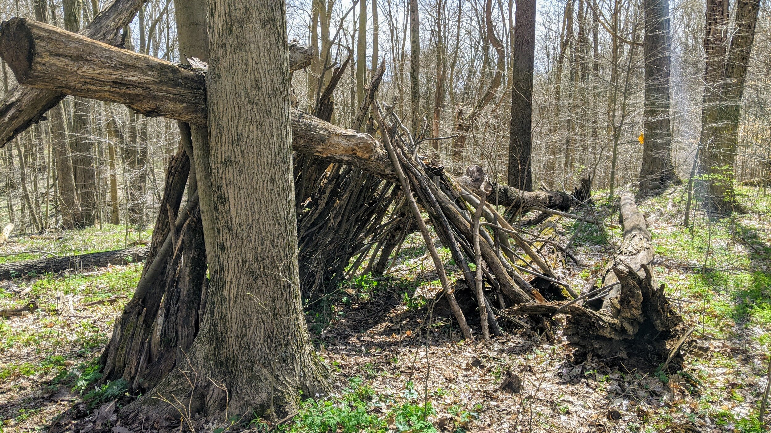
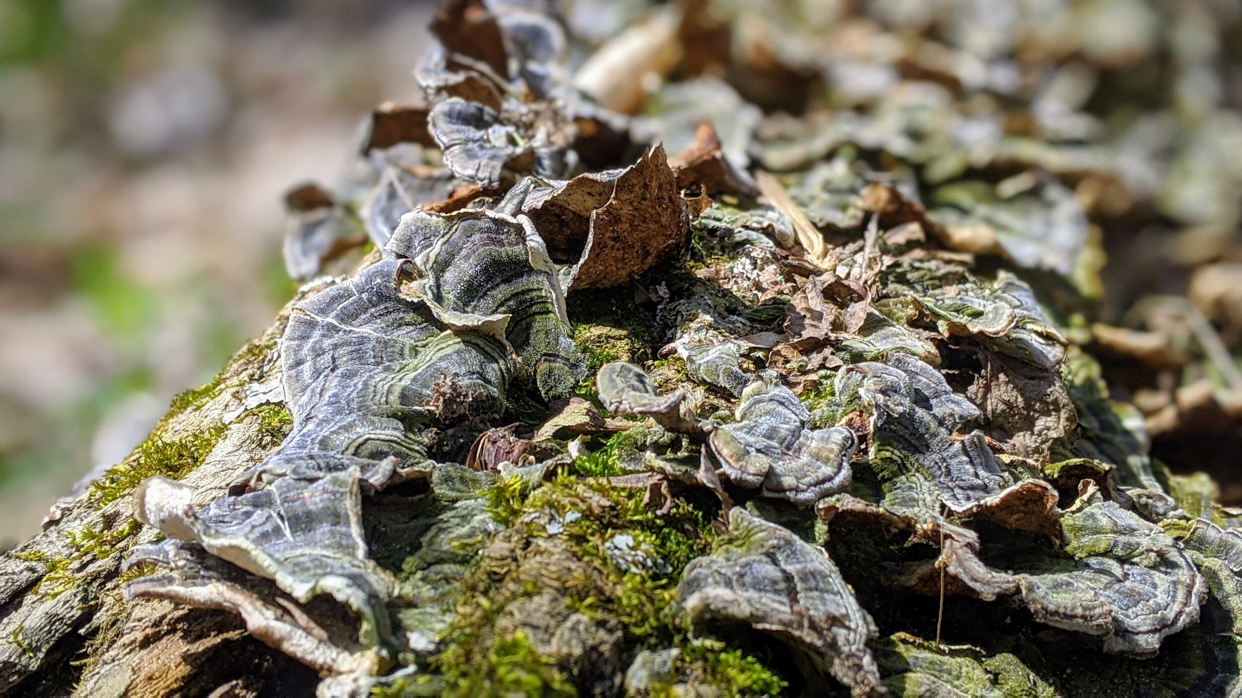
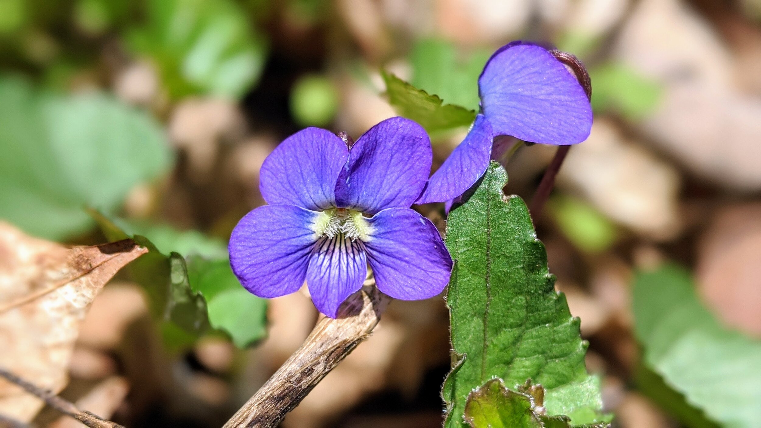
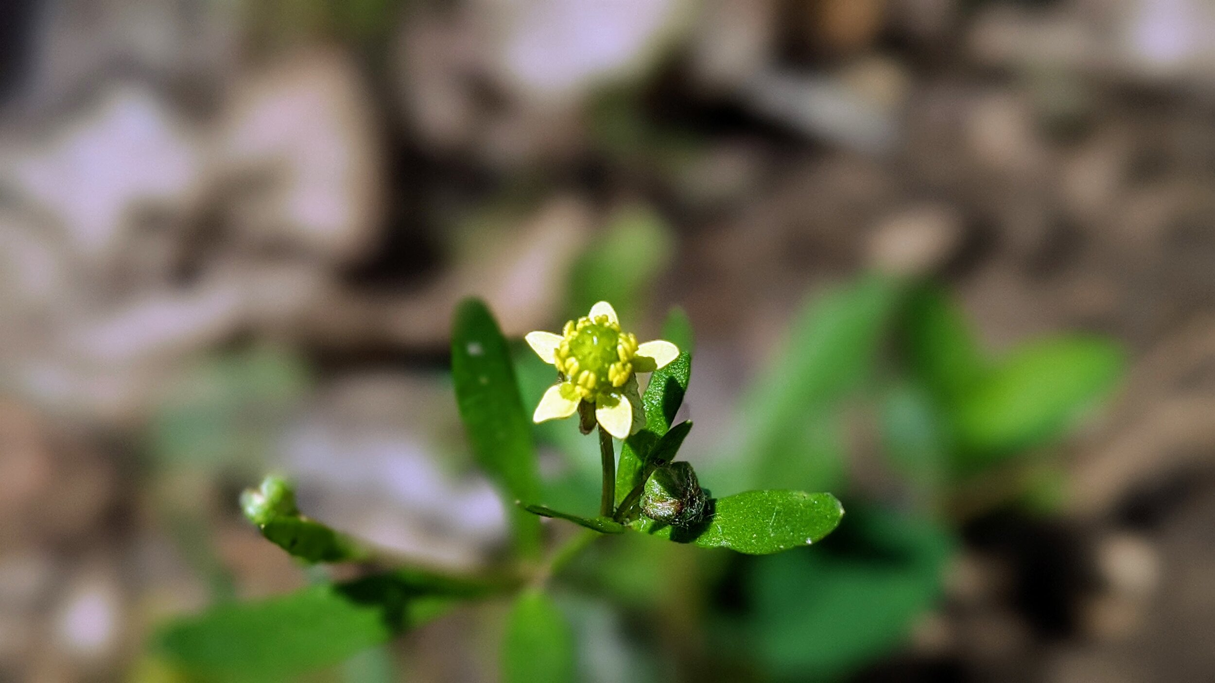
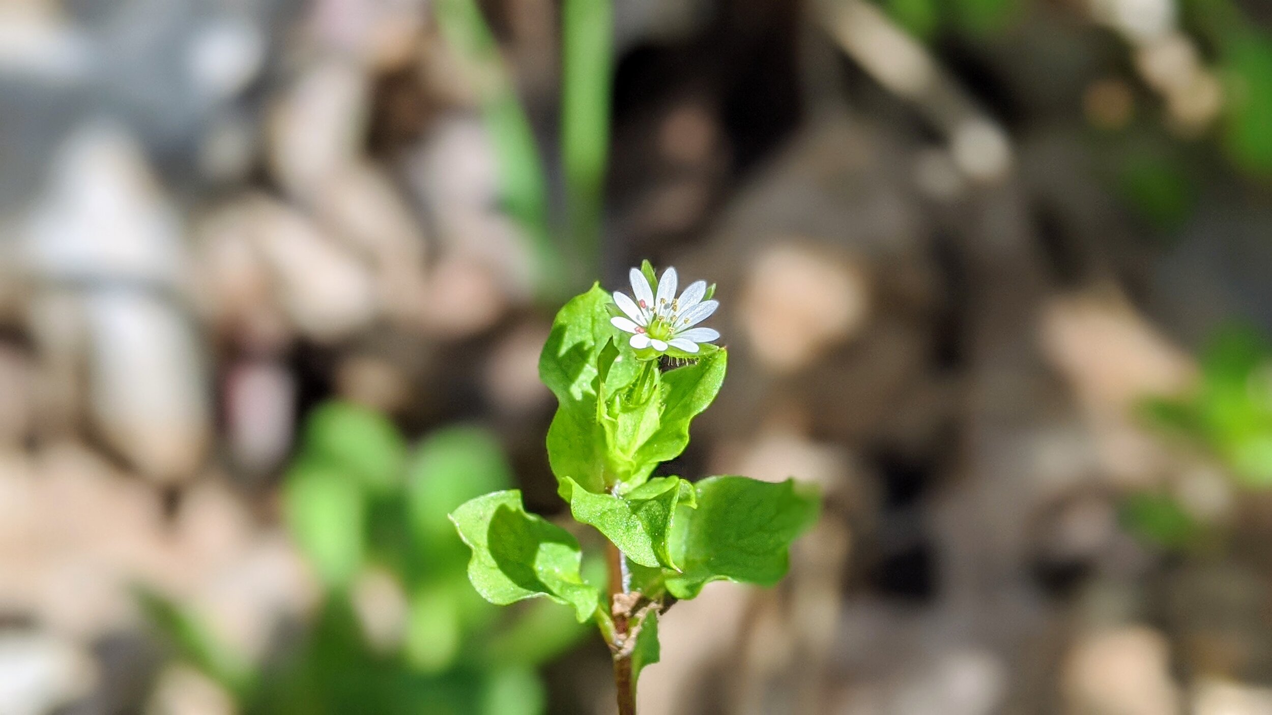
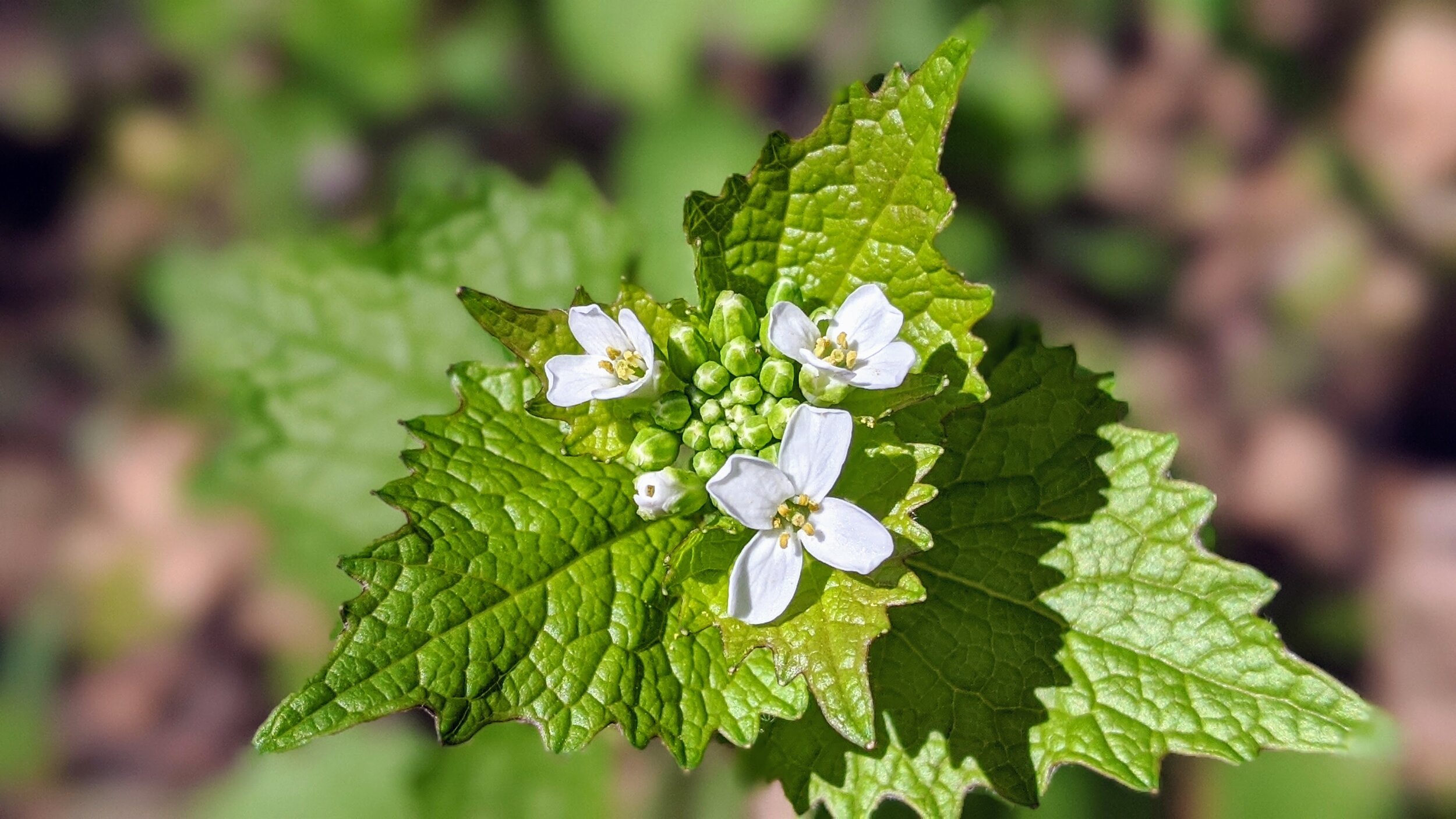
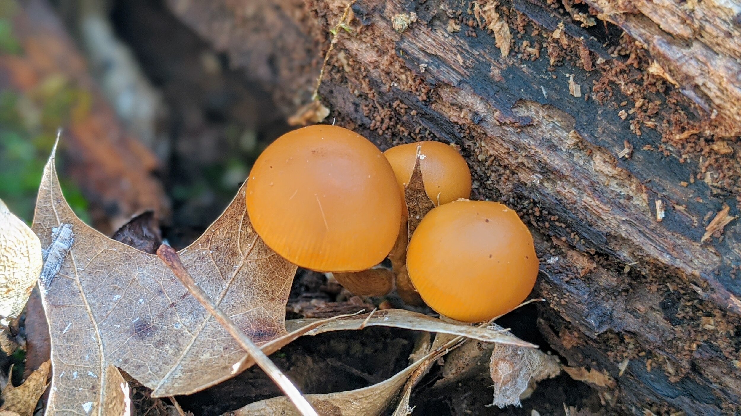
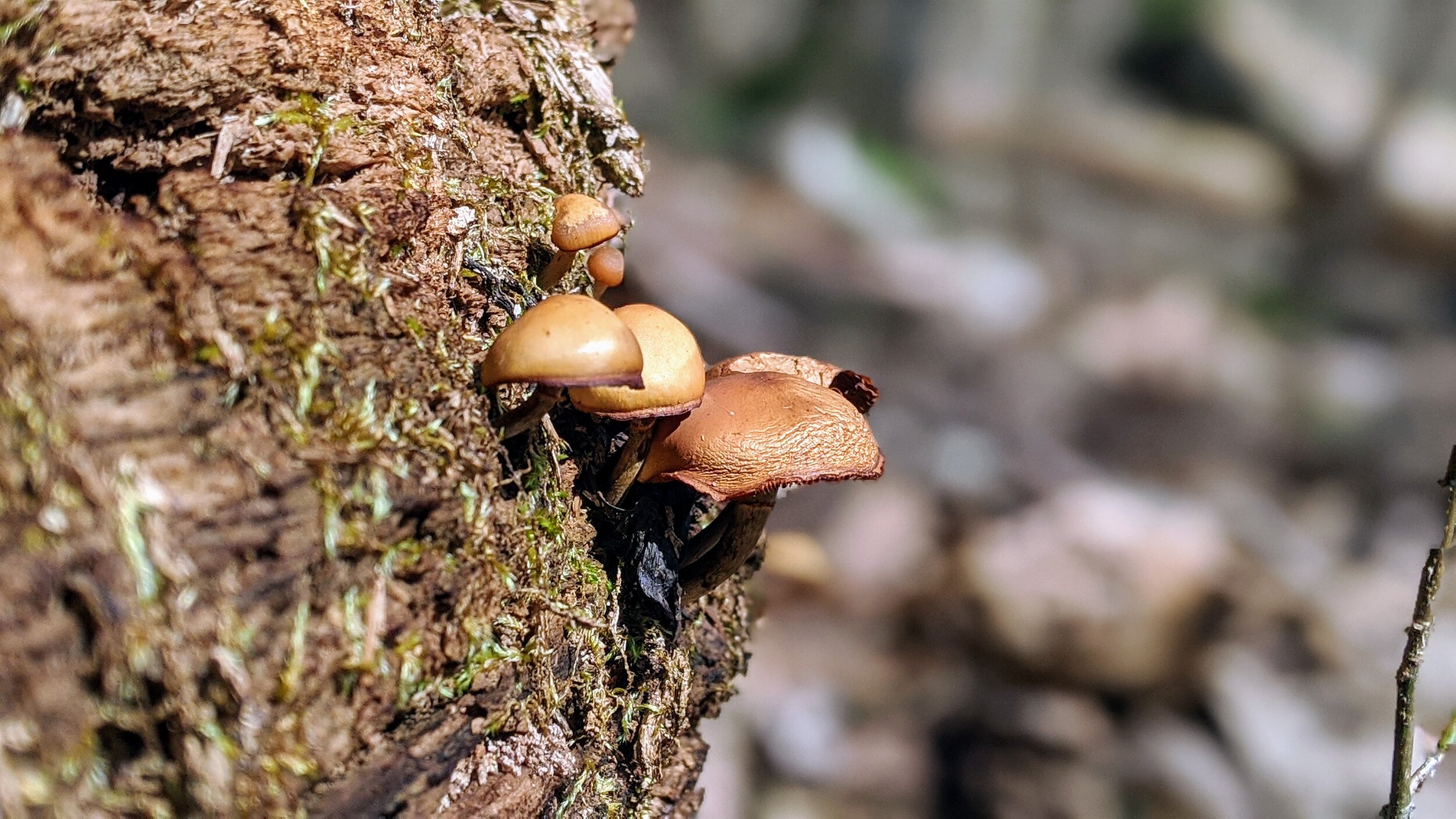
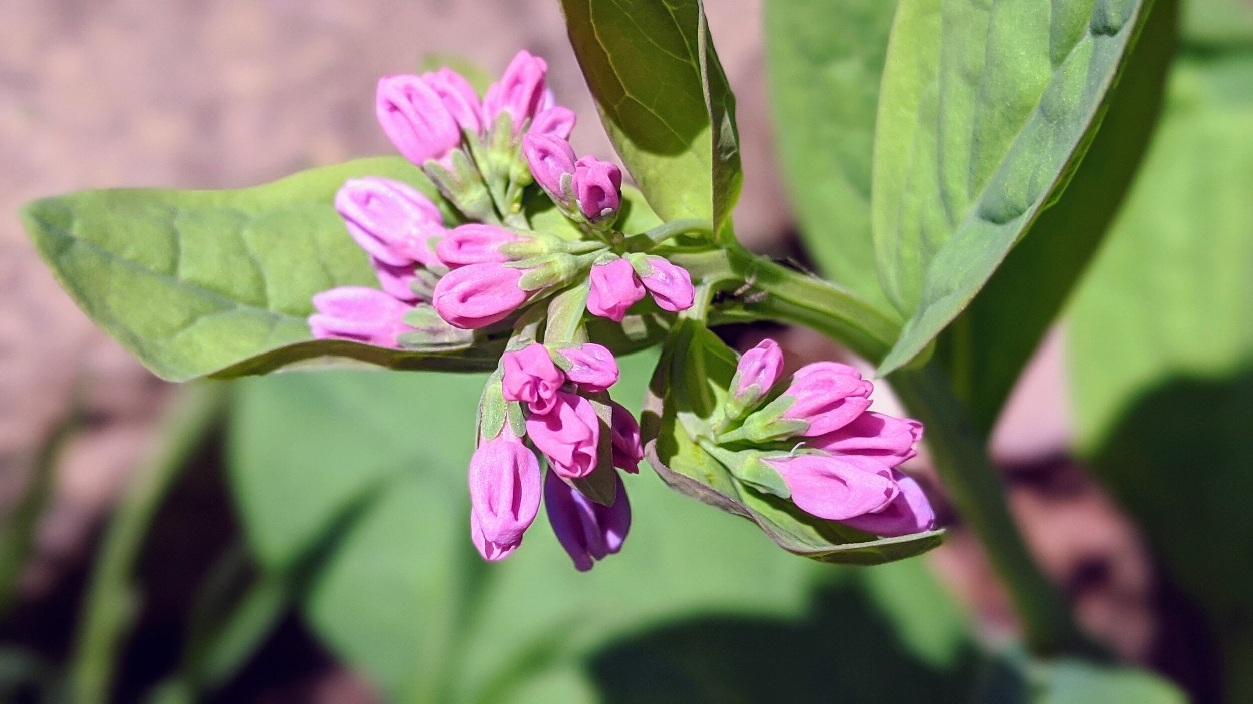
Overview. Boone Cliffs State Nature Preserve was closed for a good while before re-opening with a new trail route. While the trail is unmarked, there are benches located about every quarter mile to show you the way. This is a great little hike with plentiful wildflowers and fungi under a mature forest.
Route Type | Loop
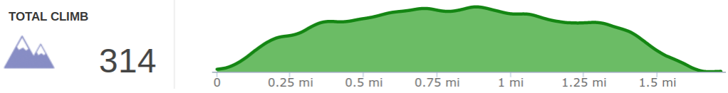
Total Distance | 1.7 miles
Overall Difficulty | Easy to Moderate
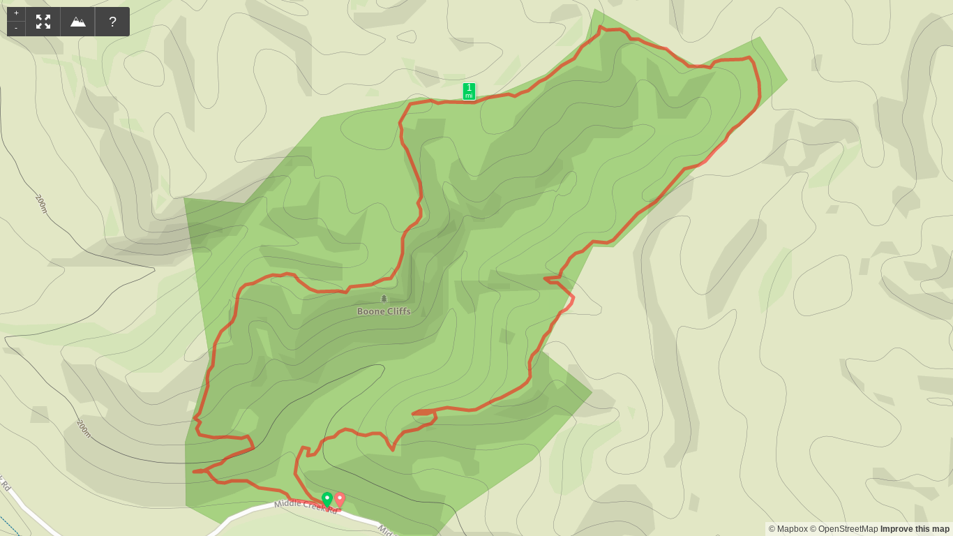
Map of Boone Cliffs State Nature Preserve
*this trail in unmarked/unblazed, but easily navigated
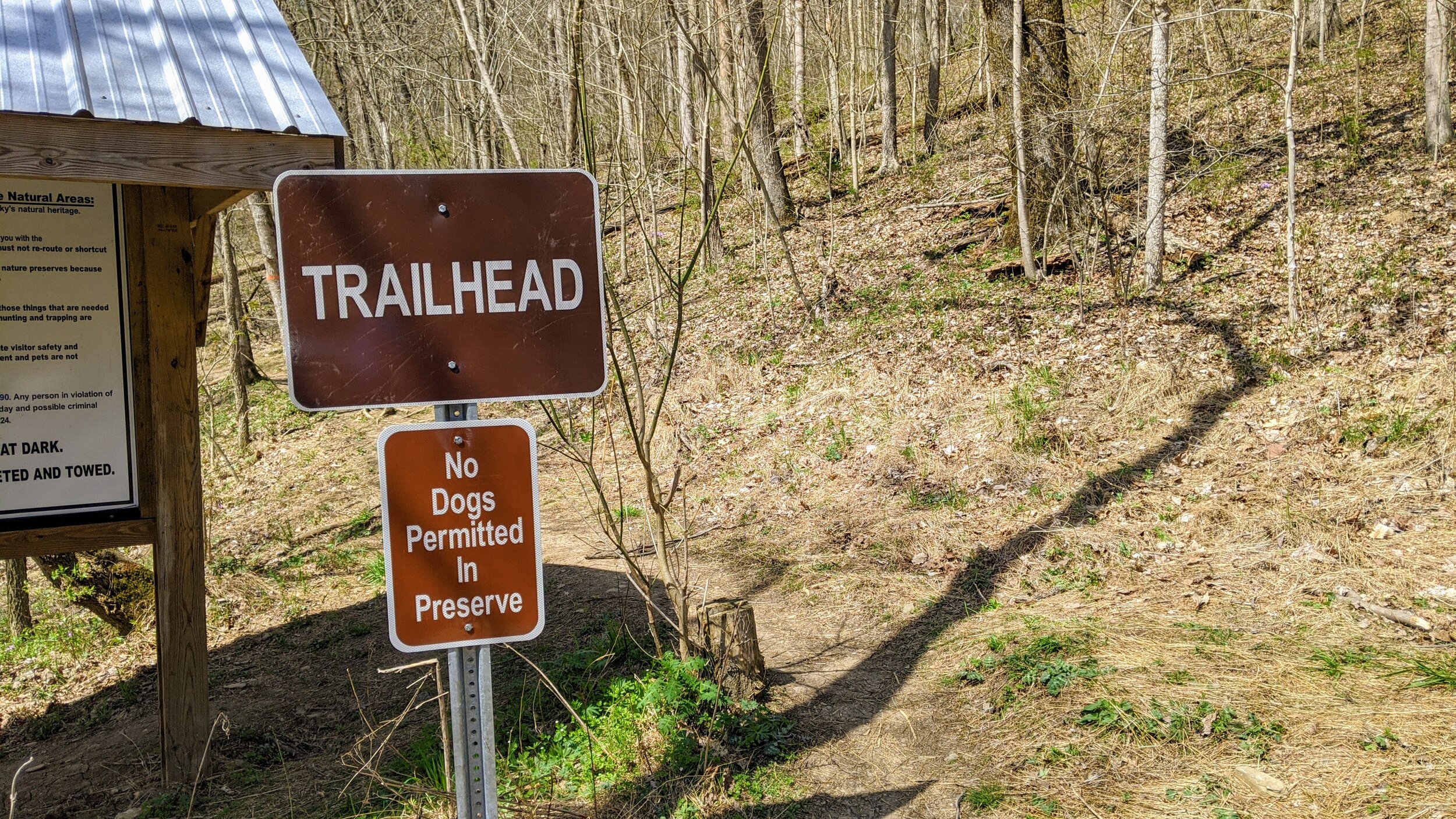
Trailhead. The trail leaves from the very small parking lot on Middle Creek Road. [map]
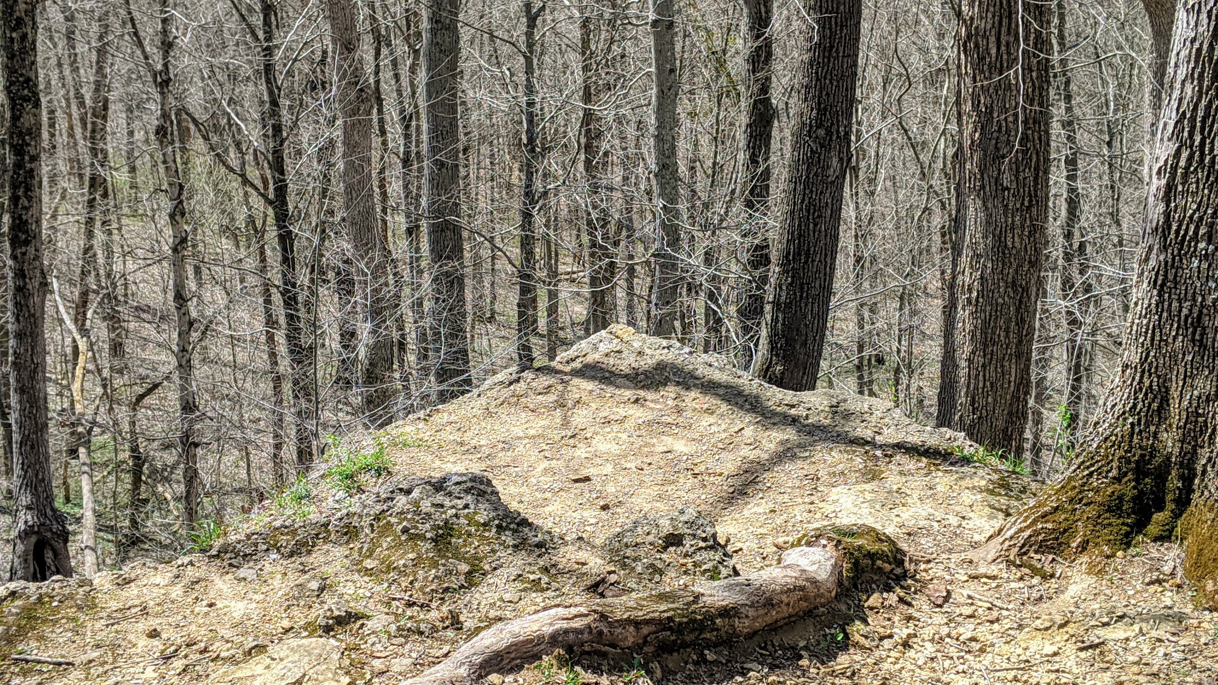
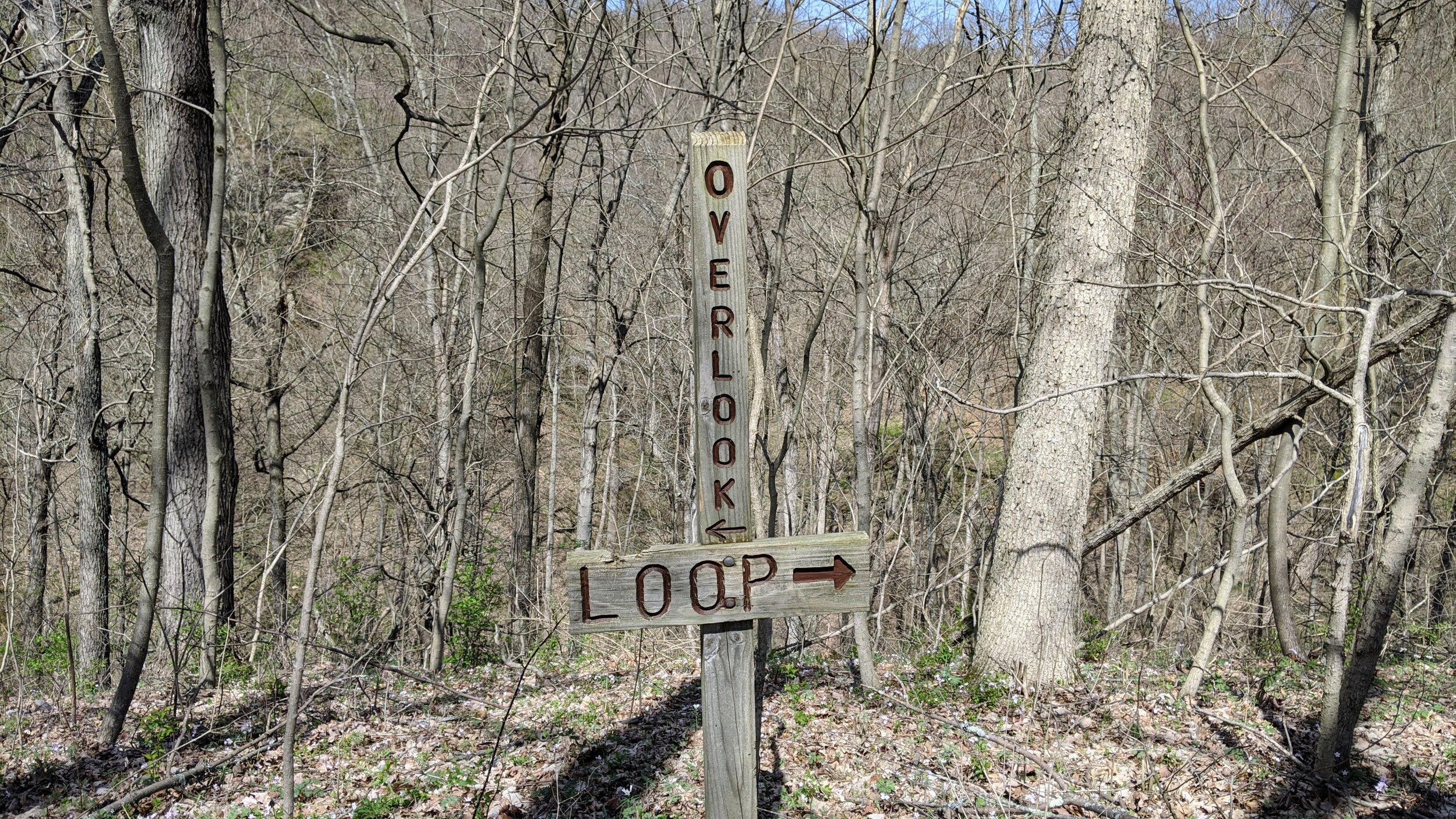
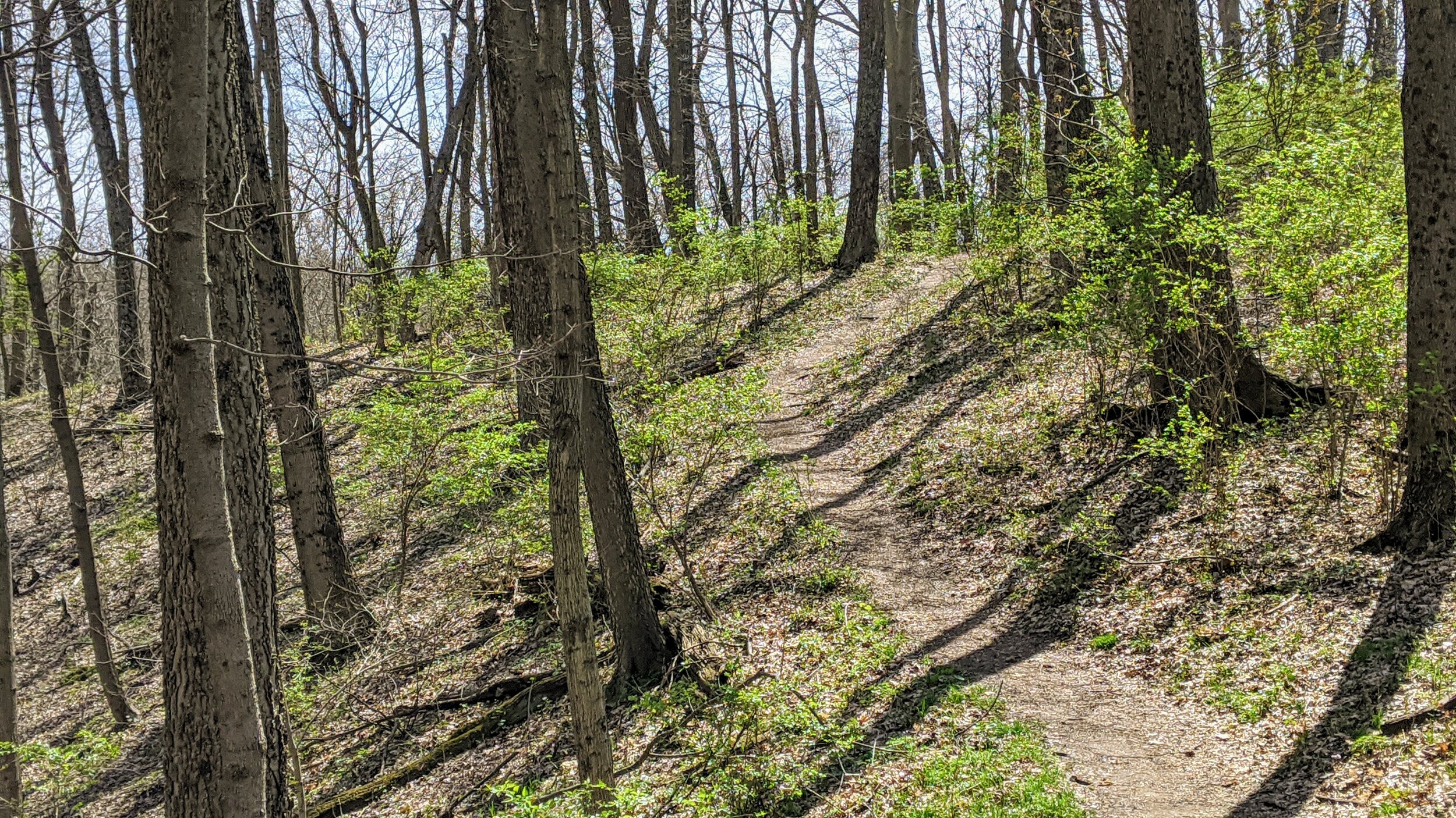
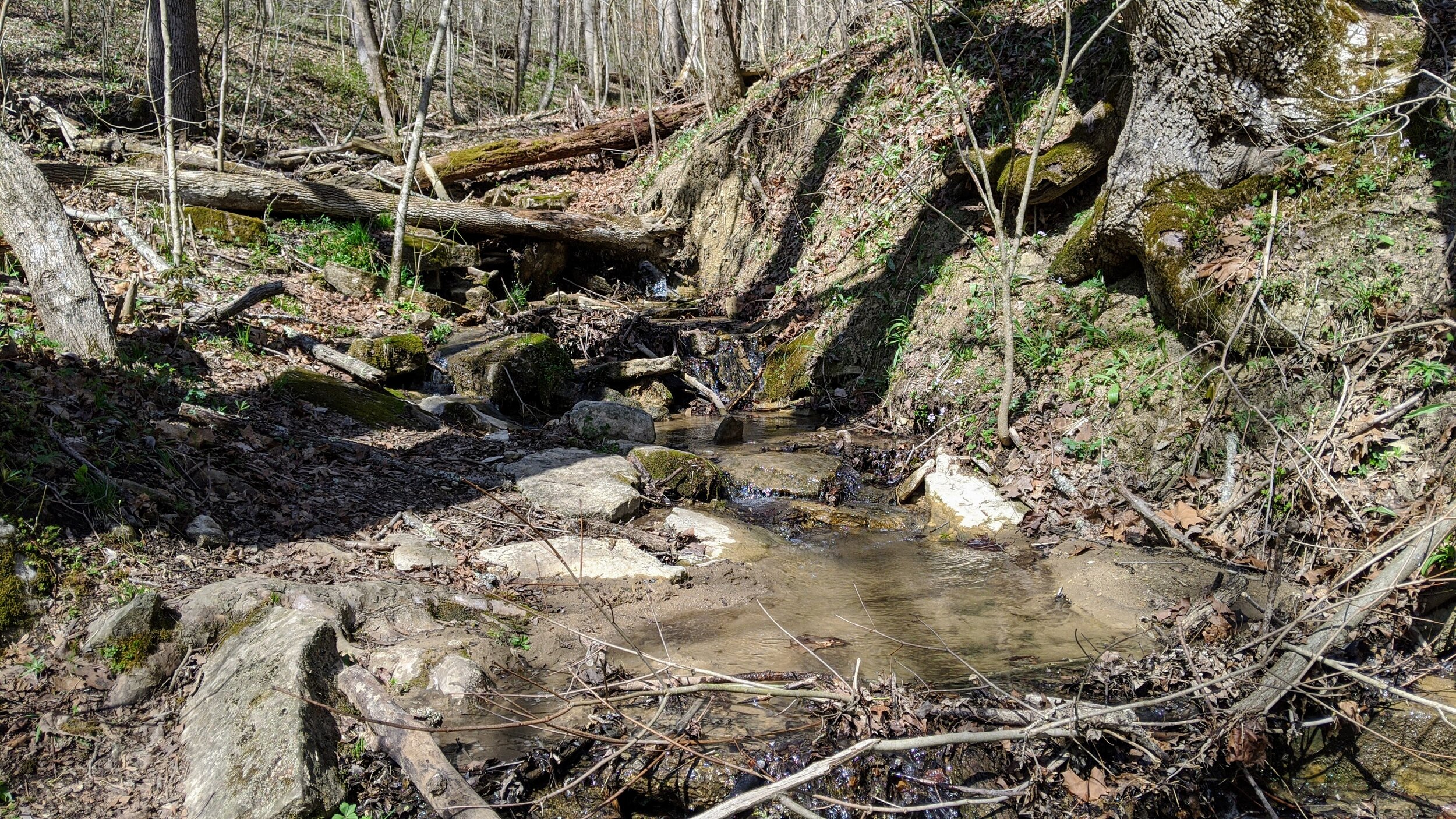
Trail navigation. Take the trail on looker’s left and head west up the hillside. Continue and pass a railing that blocks the original trail and continue until gaining the ridge. Turn left (west) here to visit the overlook where the old trail remains visible below. Turnaround and continue the loop. You’ll pass a number of short spurs and the old trail will come into view from time to time. When in doubt, take the widest path to continue until finally descending off the ridge and crossing a small stream to reach the parking lot.
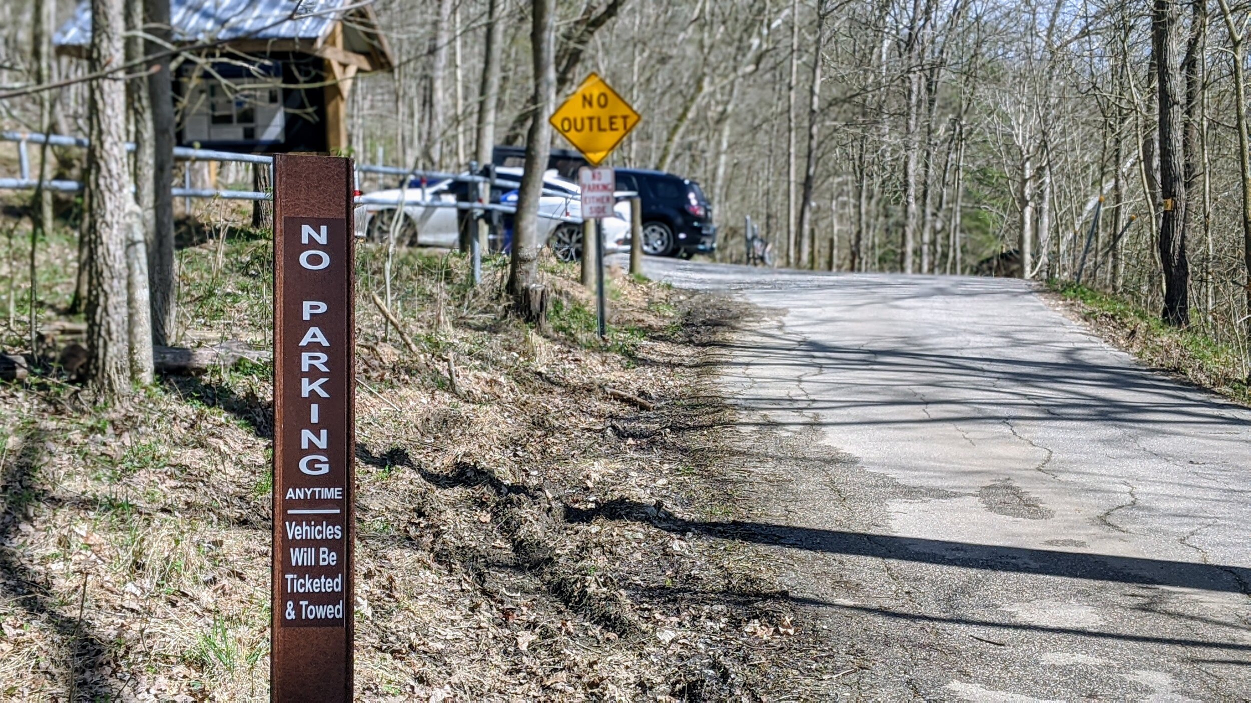
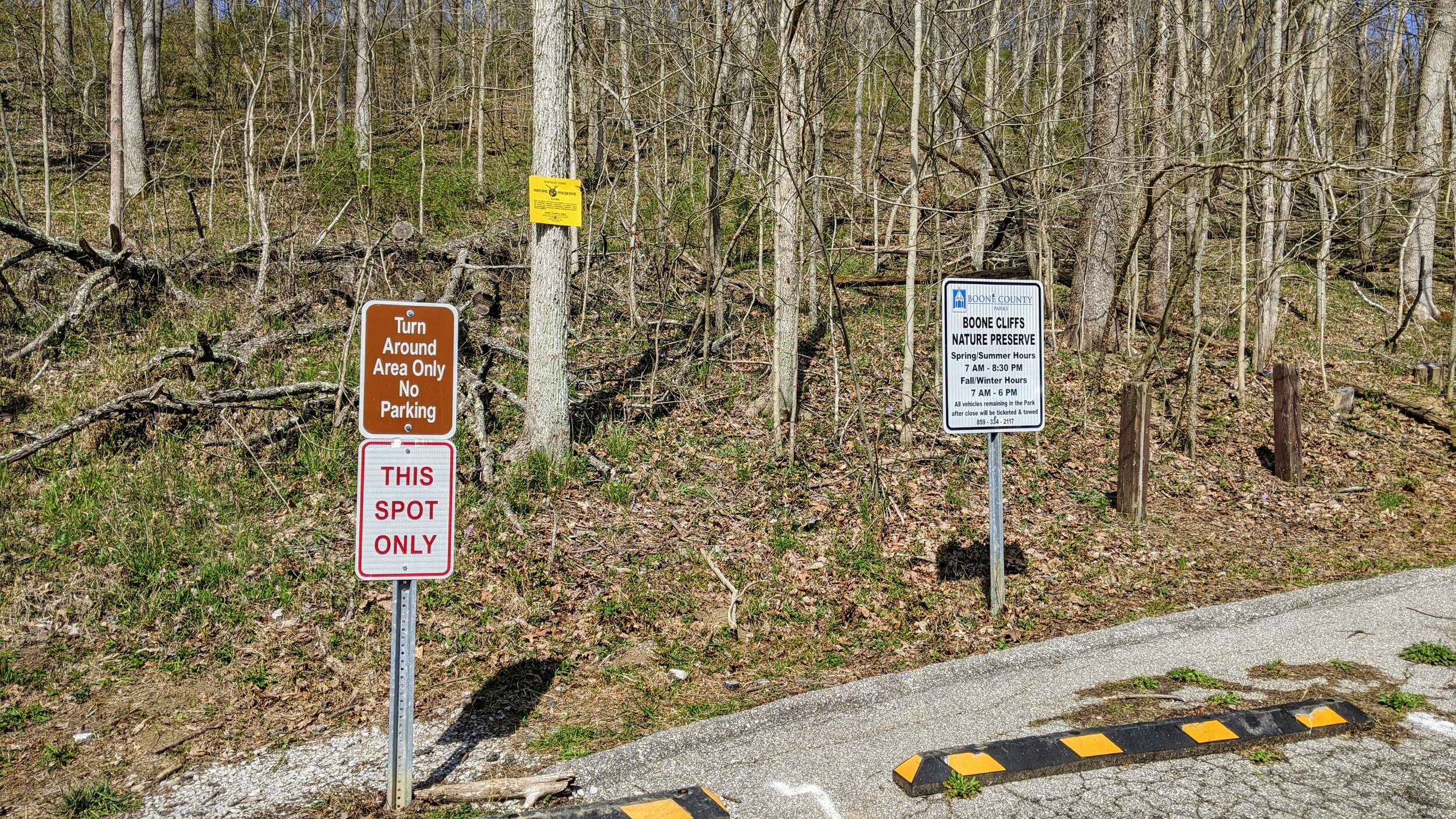
CAUTION - Parking. There are only 6 parking spots at the preserve and an additional turnaround space. Do NOT park in the turnaround space. Also, there is NO roadside parking with strictly enforced towing of violators. If the lot is full, turnaround, make a left on KY-18 and hike Middle Creek Park, Dinsmore Woods State Nature Preserve, or Conservancy Park Belleview.