Lincoln Ridge Park Outer Loop
/
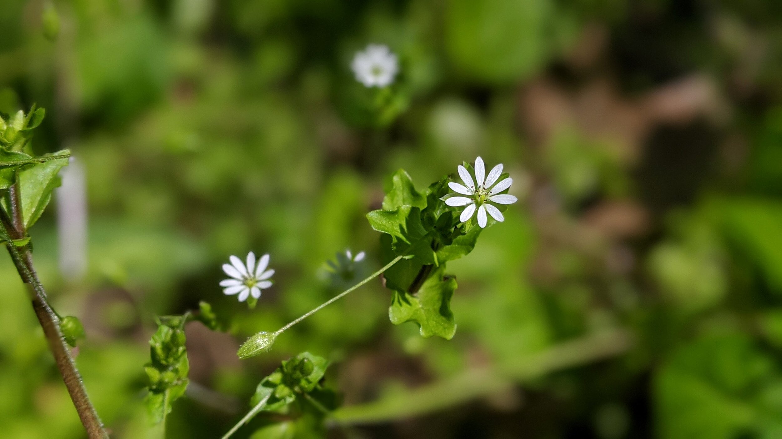
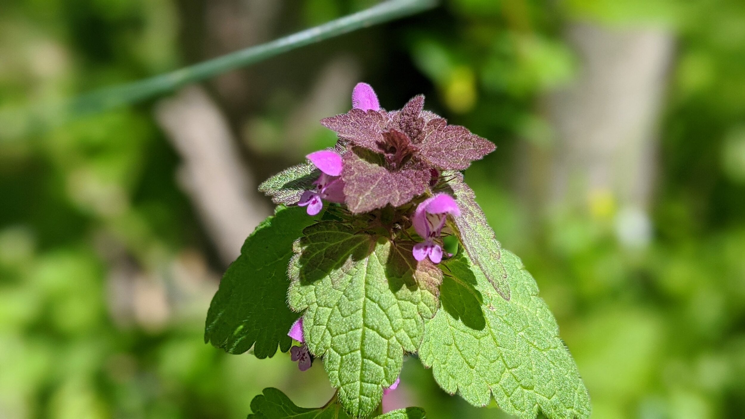
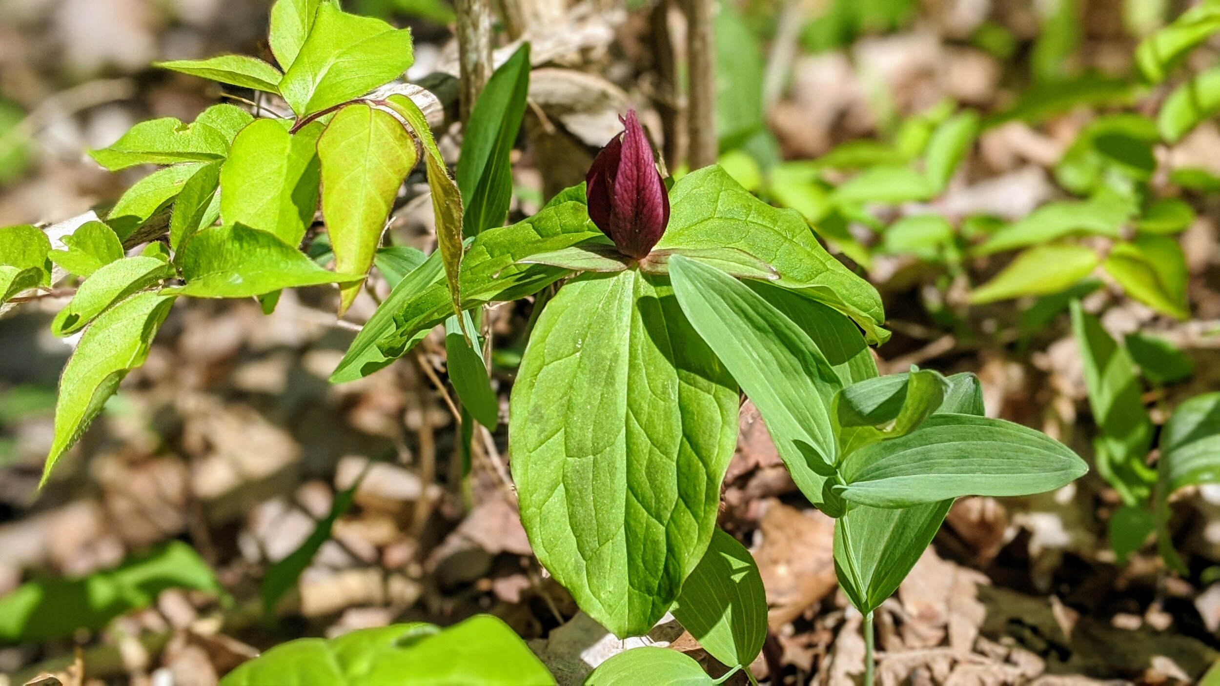
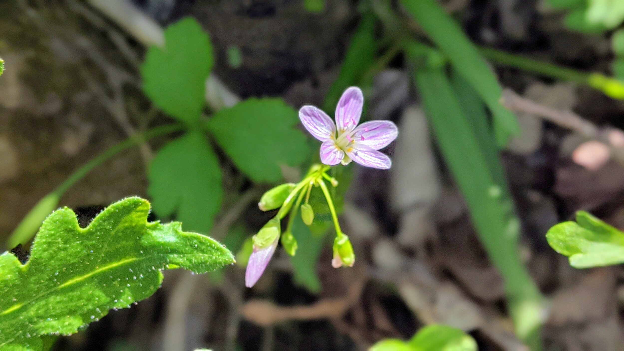
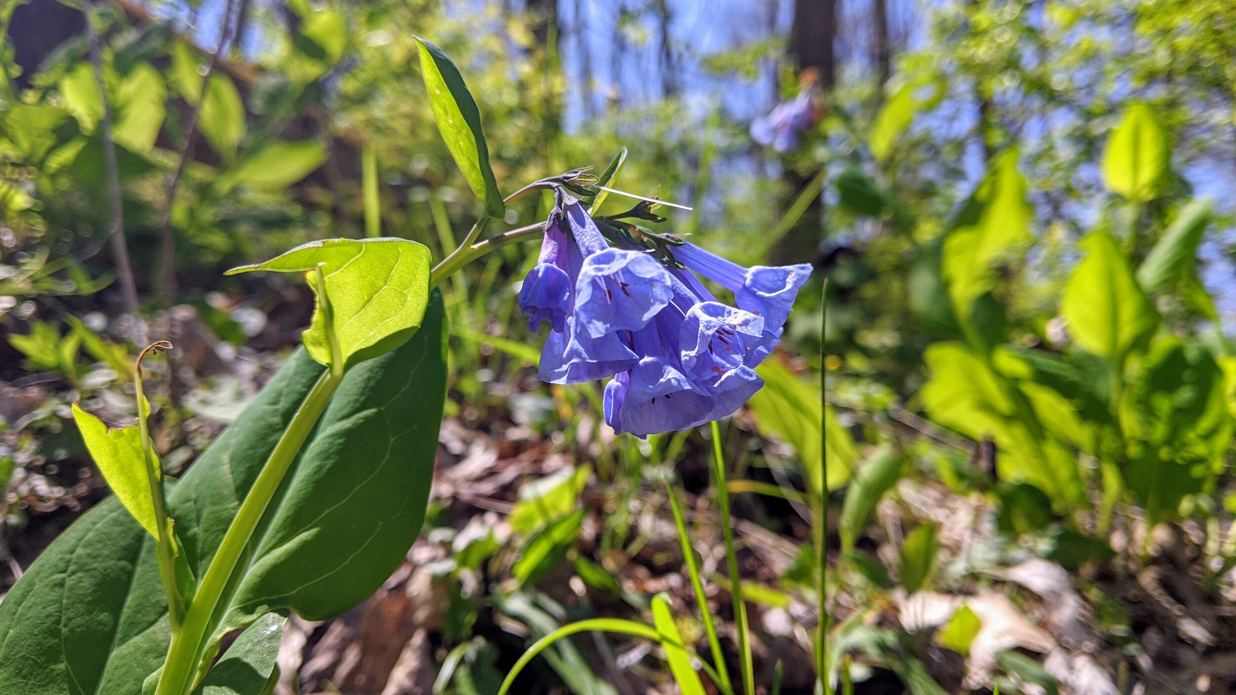
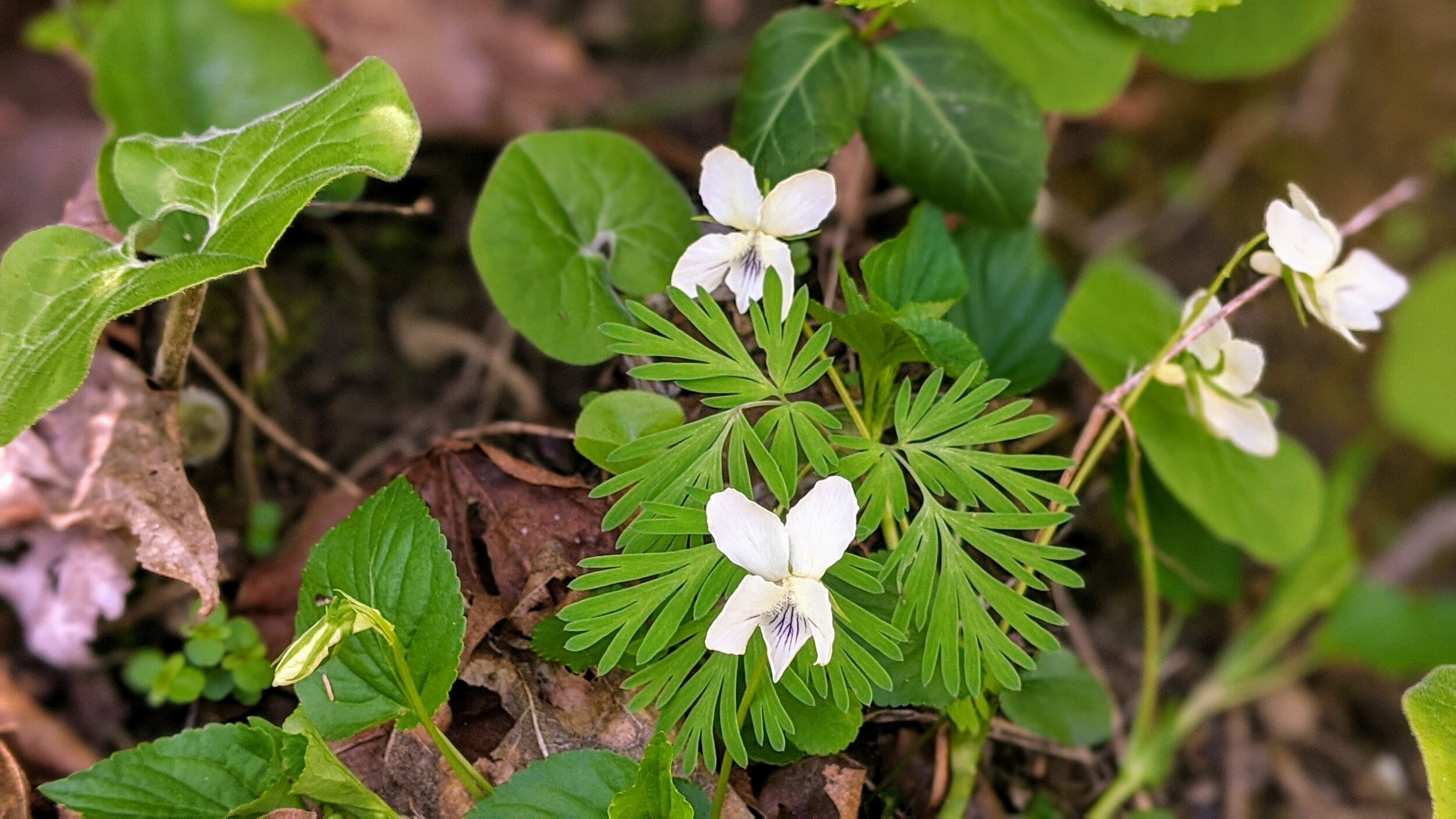
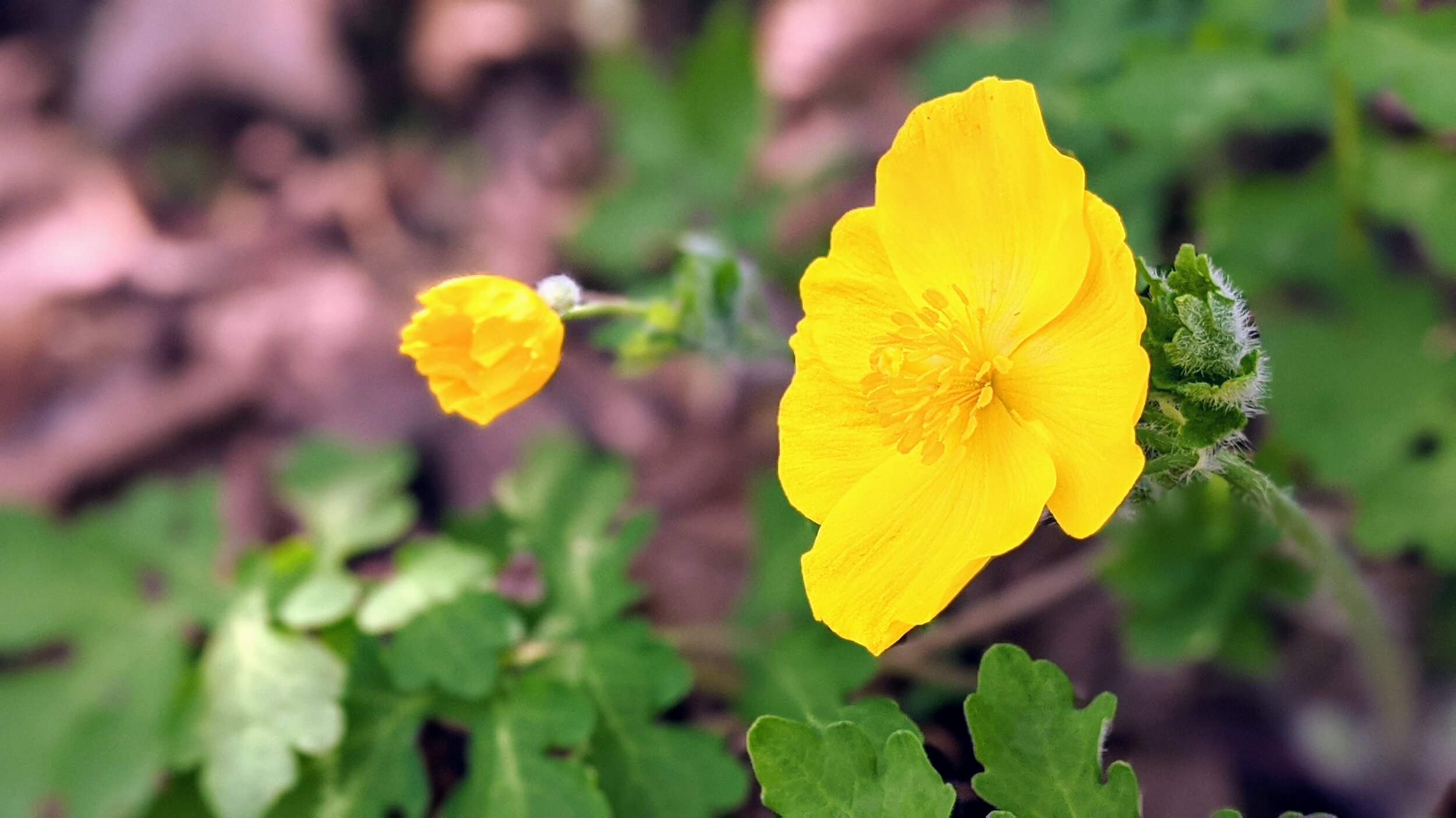
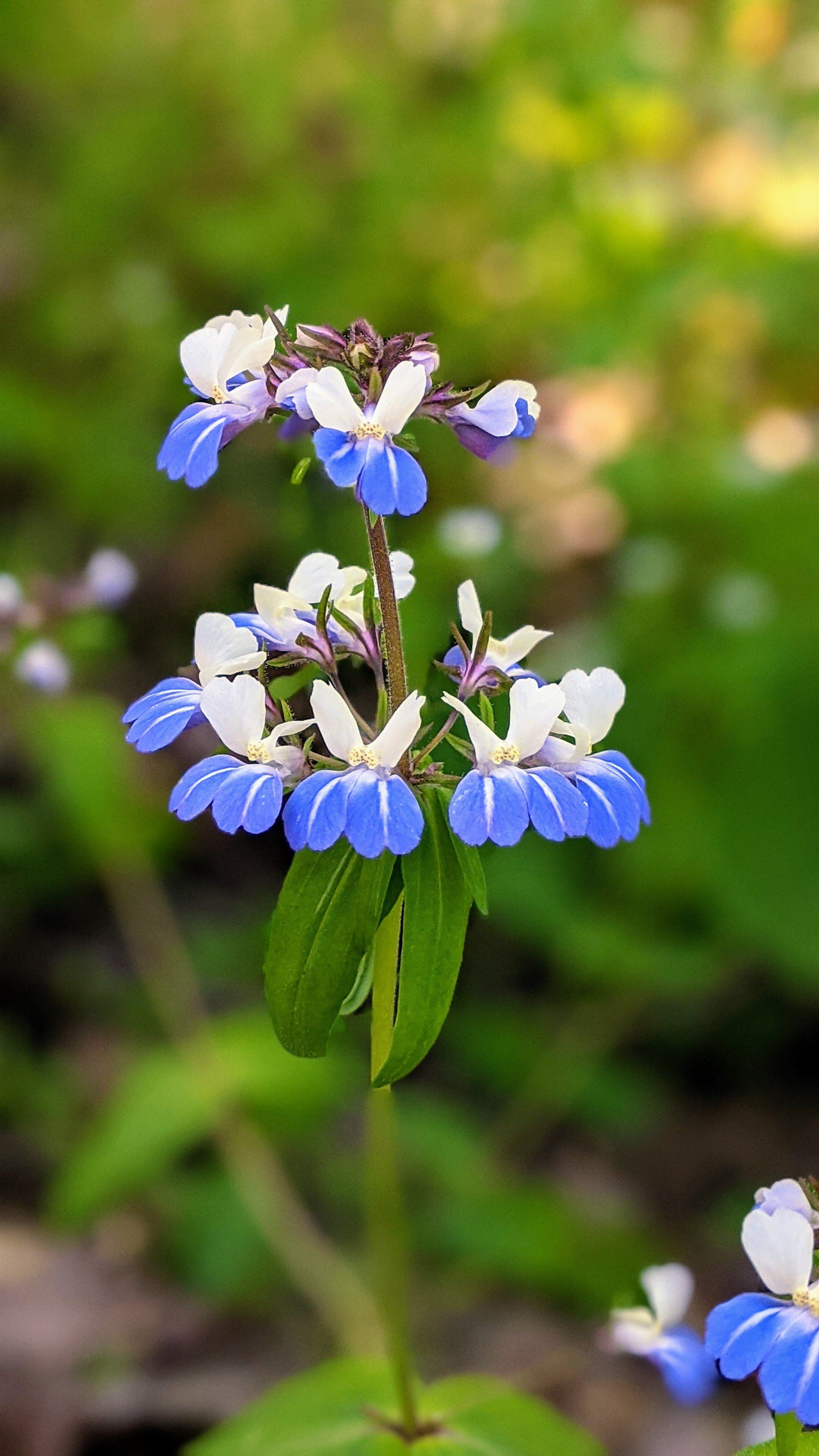
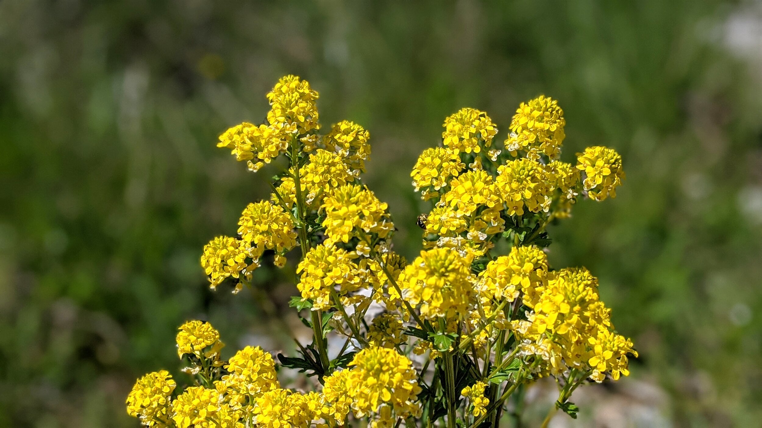
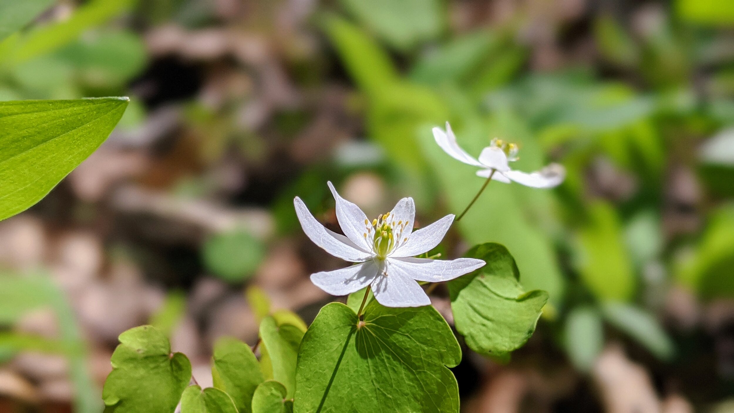
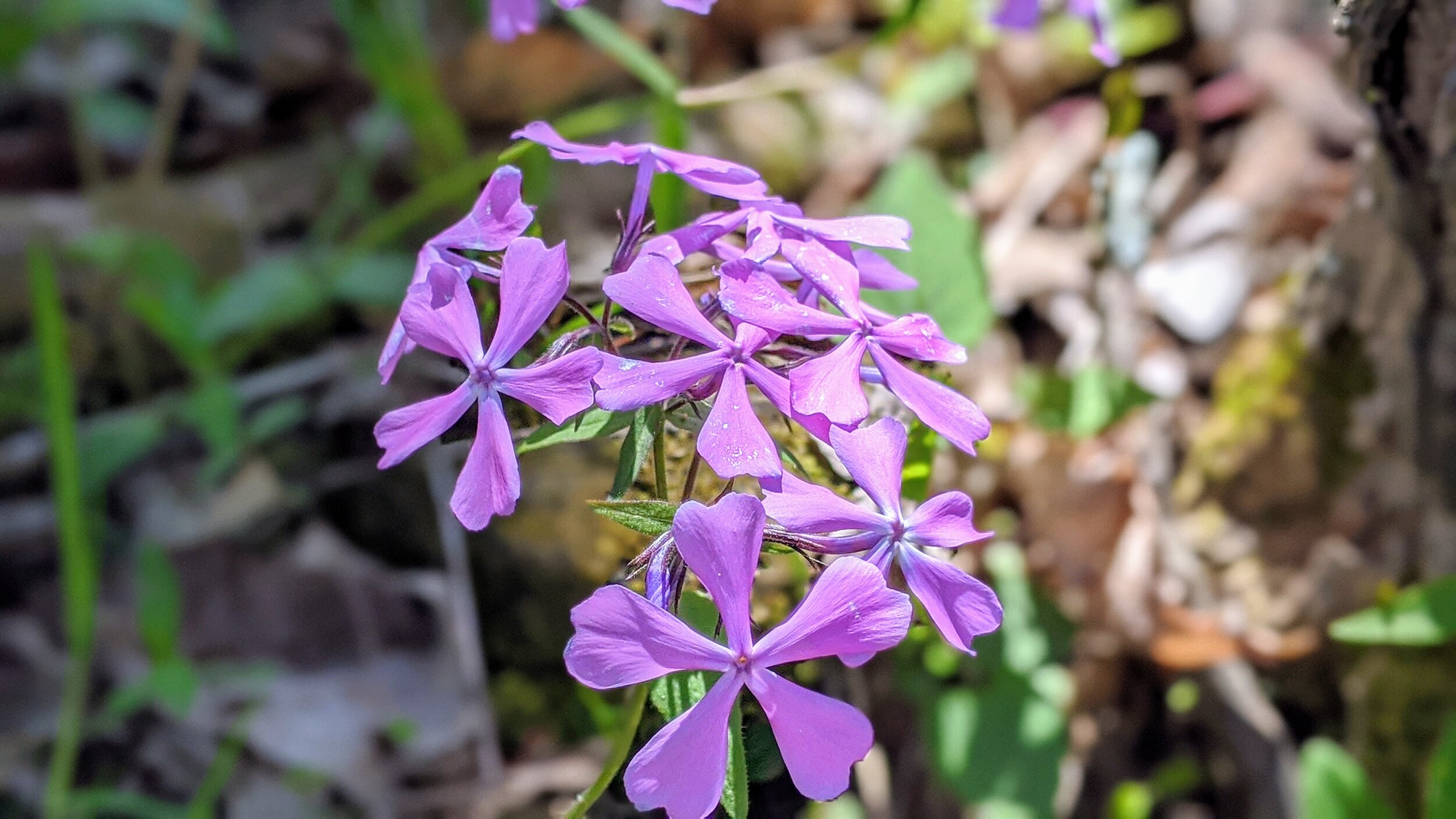
Overview. Part gravel double track and part grass fields, this loop hike is a nice one on sunny days to catch some rays. It also had more bluebells along the forested trails than I can remember and side trail access to both Banklick Creek and Brushy Fork are available with varying degrees of effort.
Route Type | Loop
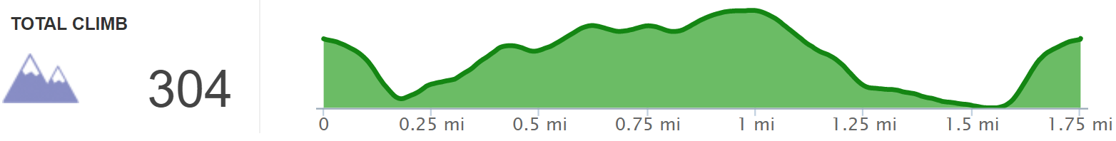
Total Distance | 1.75 miles
Overall Difficulty | Moderate
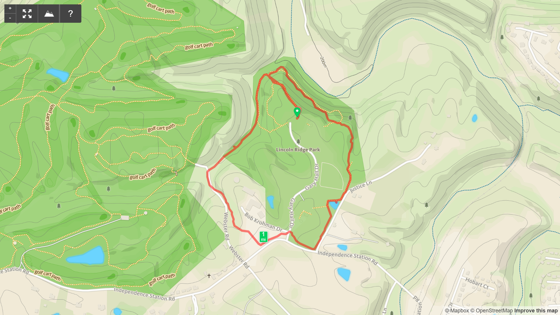
Lincoln Ridge Park Trail Map
Trailhead. Parking for this hike is at the end of the main road to the west of the picnic shelter. The trailhead is on wide gravel adjacent to the bathrooms. [map]
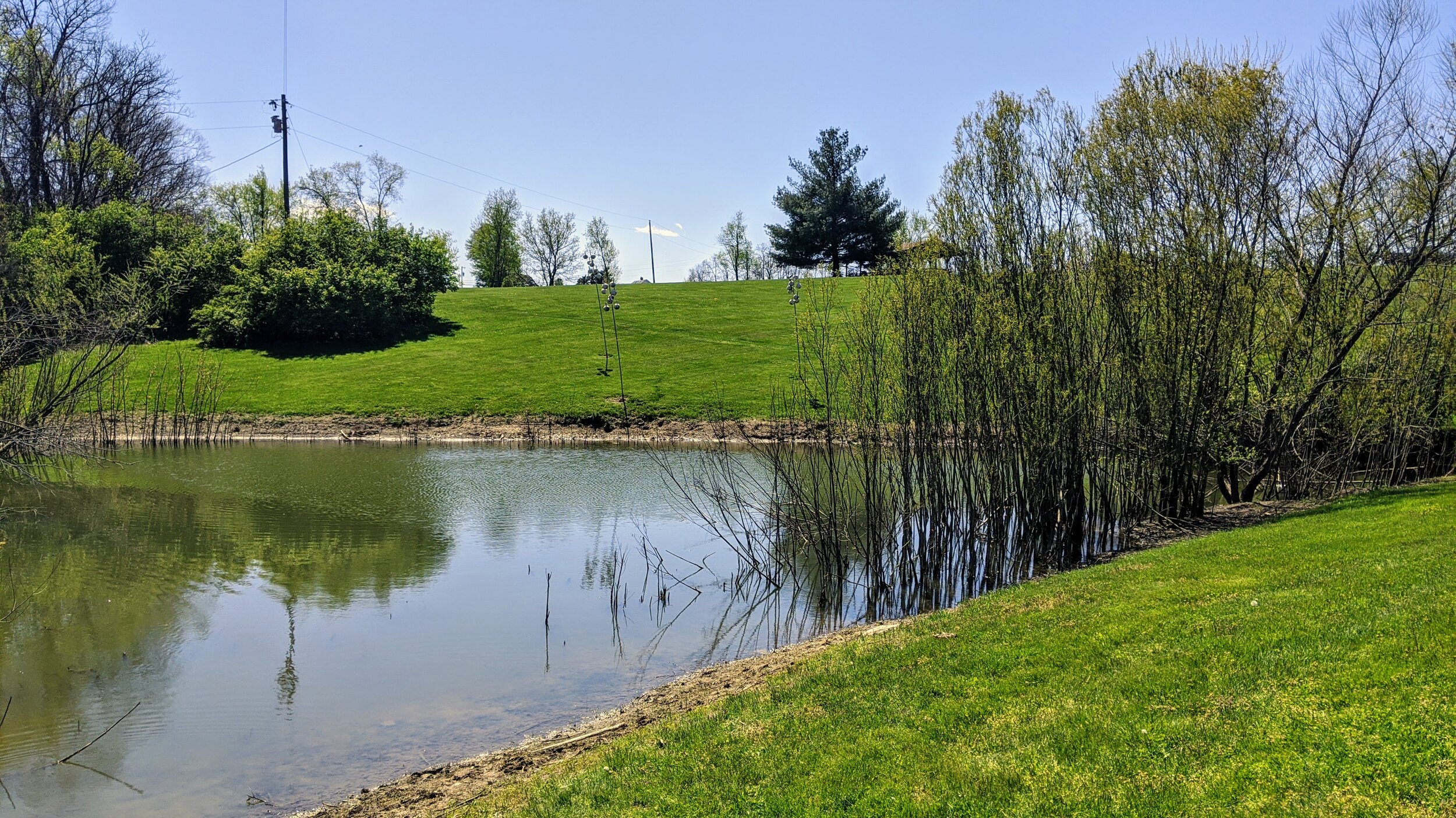
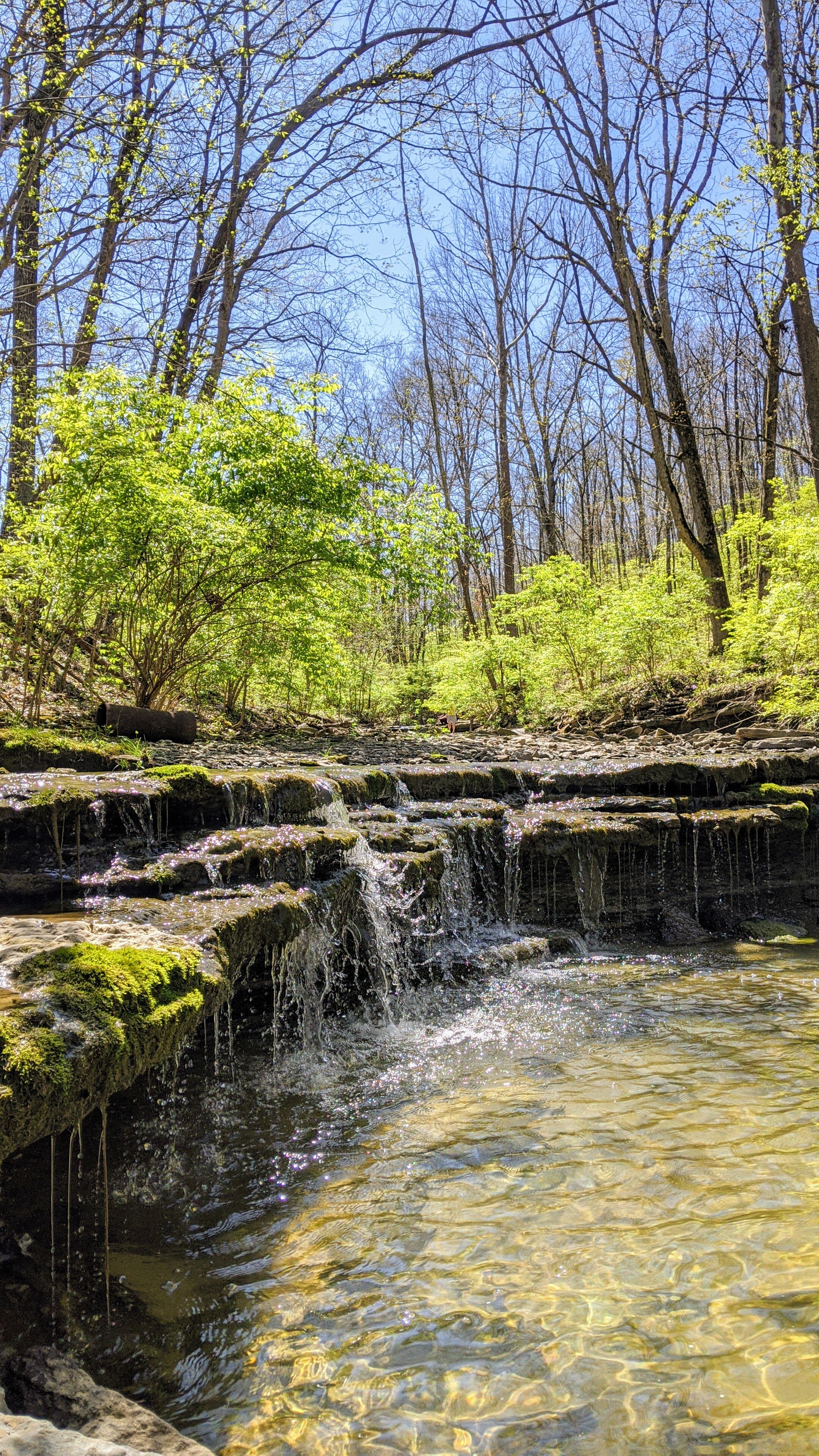
Trail navigation. Start by descending the steep, wide gravel path to find the connector trail to the outer loop. This is gravel as well with a distinct rut from runoff. Reach the outer loop and turn right. Continue uphill and around the perimeter of the park until reaching the grass fields. This path is well worn until reaching the pond. Continue around the pond and uphill to skirt the property boundary - out of the way of the frisbee golf course. Cross the main entrance road and stay along the fence until reaching a trail sign. Take the large chunk gravel road here down along the drainage until reaching Banklick Creek. Access to the creek is along the left side as you continue the loop. Drop down to enjoy the creek at your leisure. Continue the loop noting that some of this is shared use with frisbee golf, so be aware of other trail users. Circle around to reach the connector trail that leads back to the parking lot and enjoy the steep ascent before returning to your car.
CAUTION - Large Gravel. The section from the maintenance building and down along Banklick Creek has very large gravel that is unstable underfoot. Take care to avoid spraining an ankle here.
CAUTION - Frisbee Golf. Sections of this trail are shared with frisbee golfers. Be aware and yield as necessary.