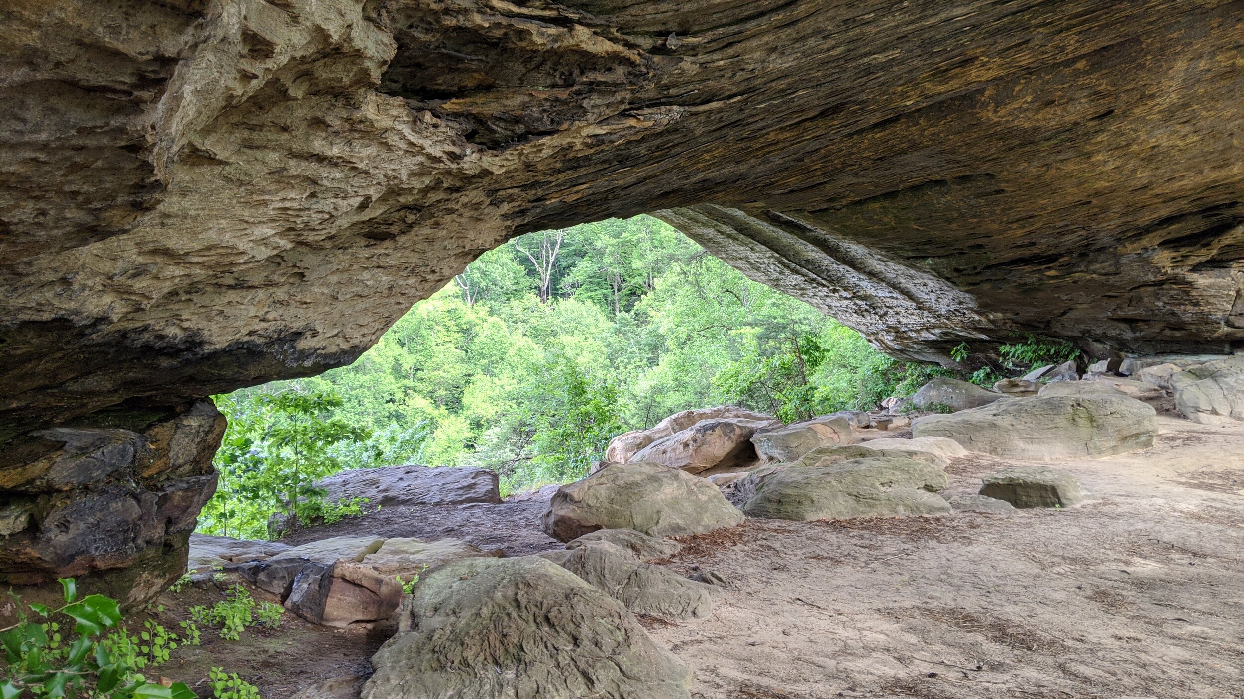
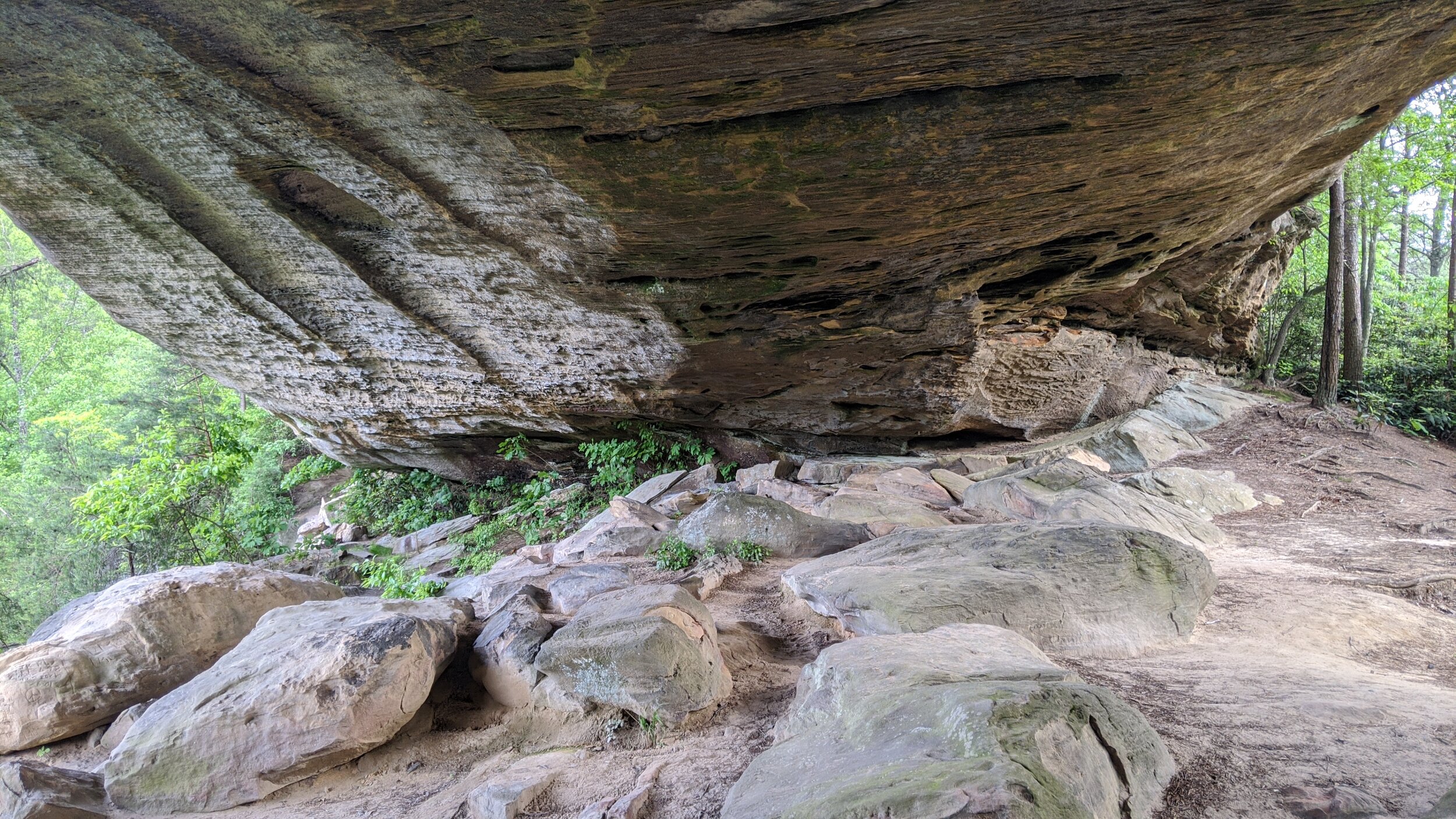
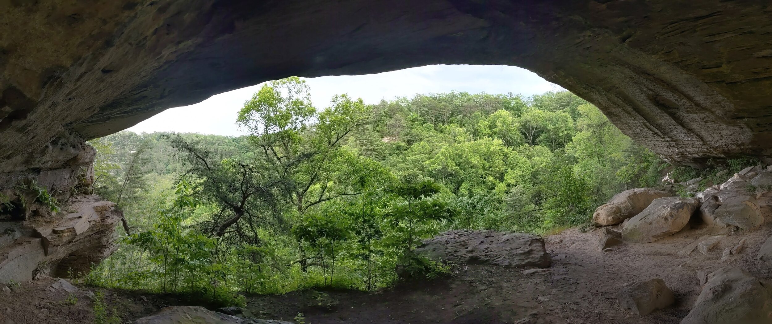
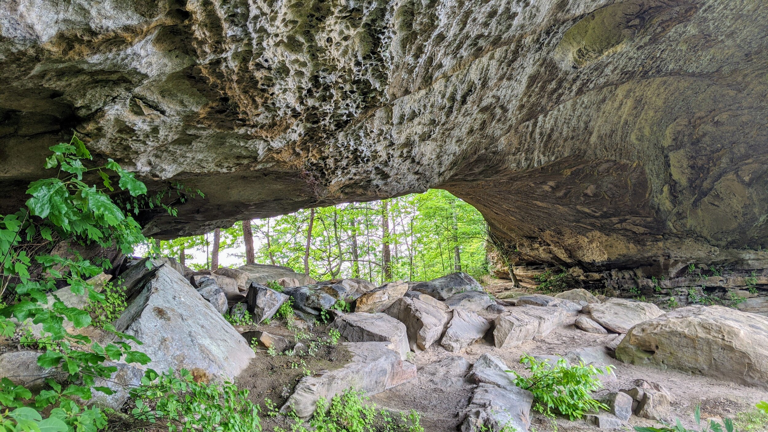
Arch of Triumph and Star Gap Arch
/
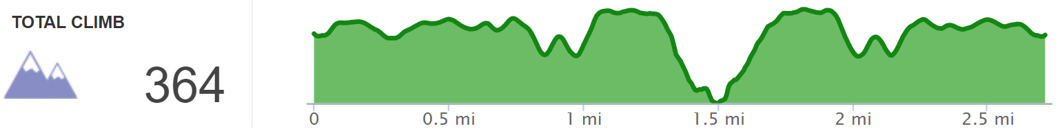
Overview. If you’re looking for a nice 3-ish mile hike, this one is fantastic! Enjoy playful Arch of Triumph and one of Kentucky’s best, Star Gap Arch. This is a ridgeline hike that is mostly flat, but comes with one tricky spot to descend to the last bit of trail to Star Gap Arch. Take your time and all will be well.
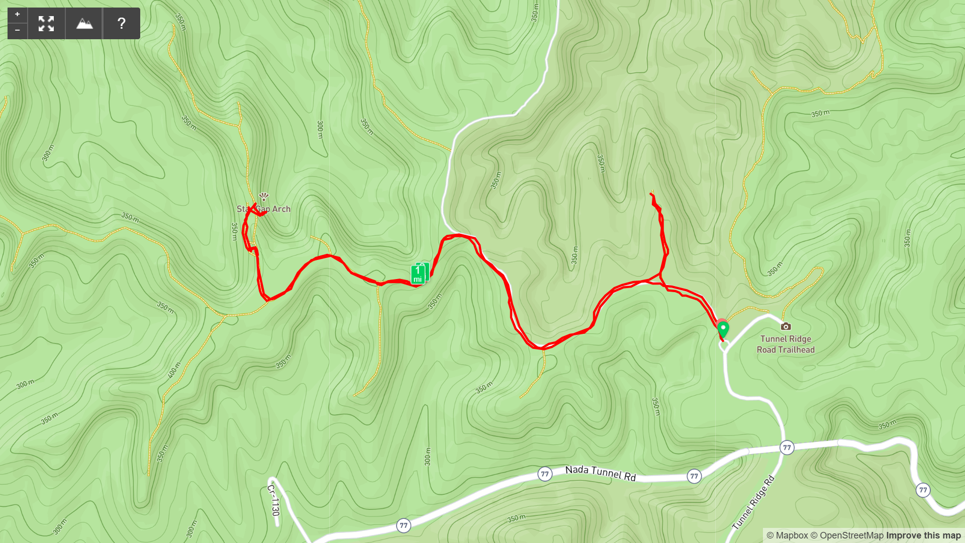
Route Type | Out and Back
Total Distance | 2.75 miles
Overall Difficulty | Easy with a Tricky Spot
this hike is unmarked
GPS Waypoints
Trailhead | 37.819725, -83.682703
Turn to Arch of Triumph | 37.820822, -83.684275
Arch of Triumph | 37.822997, -83.684714
Turn #1 to Star Gap Arch | 37.822044, -83.690247
Turn #2 to Star Gap Arch | 37.820606, -83.695550
Turn #3 to Star Gap Arch | 37.821775, -83.696108
Star Gap Arch | 37.822569, -83.696085
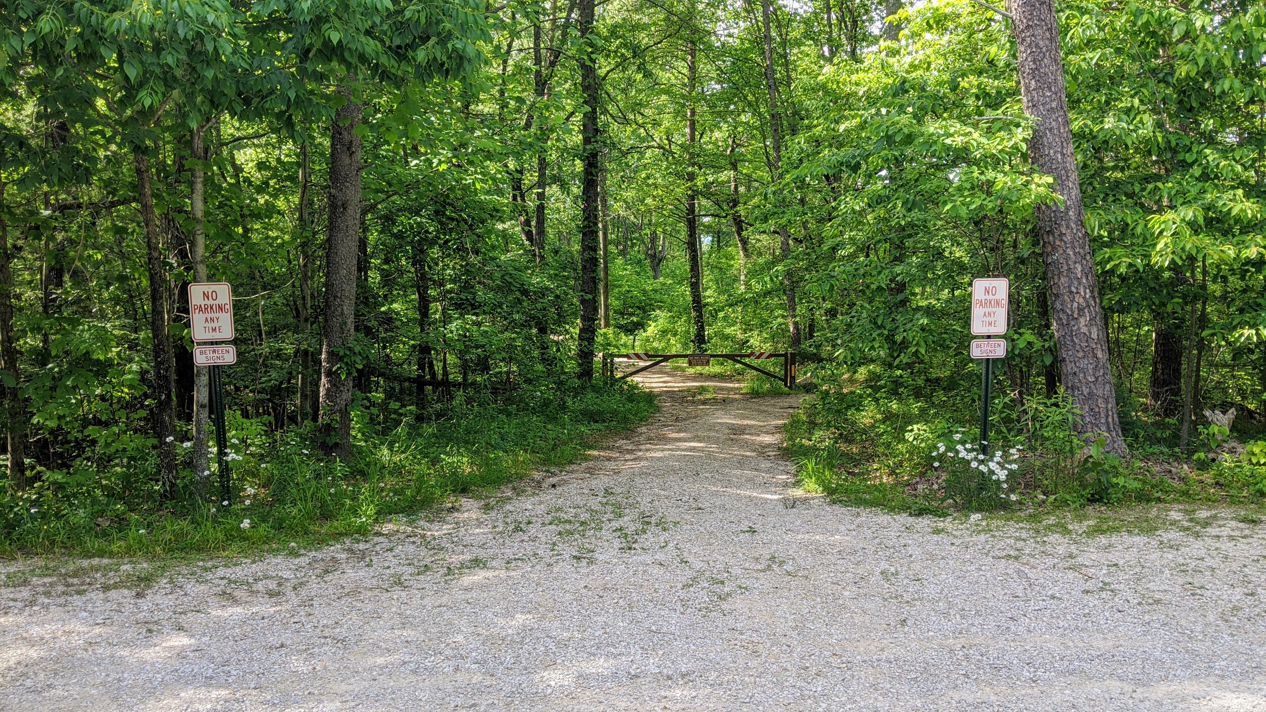
Trailhead. The trailhead for this hike is just west of the Auxier Ridge Parking Lot on Tunnel Ridge Road. Be sure to park only in designated areas or be ticketed. [map]
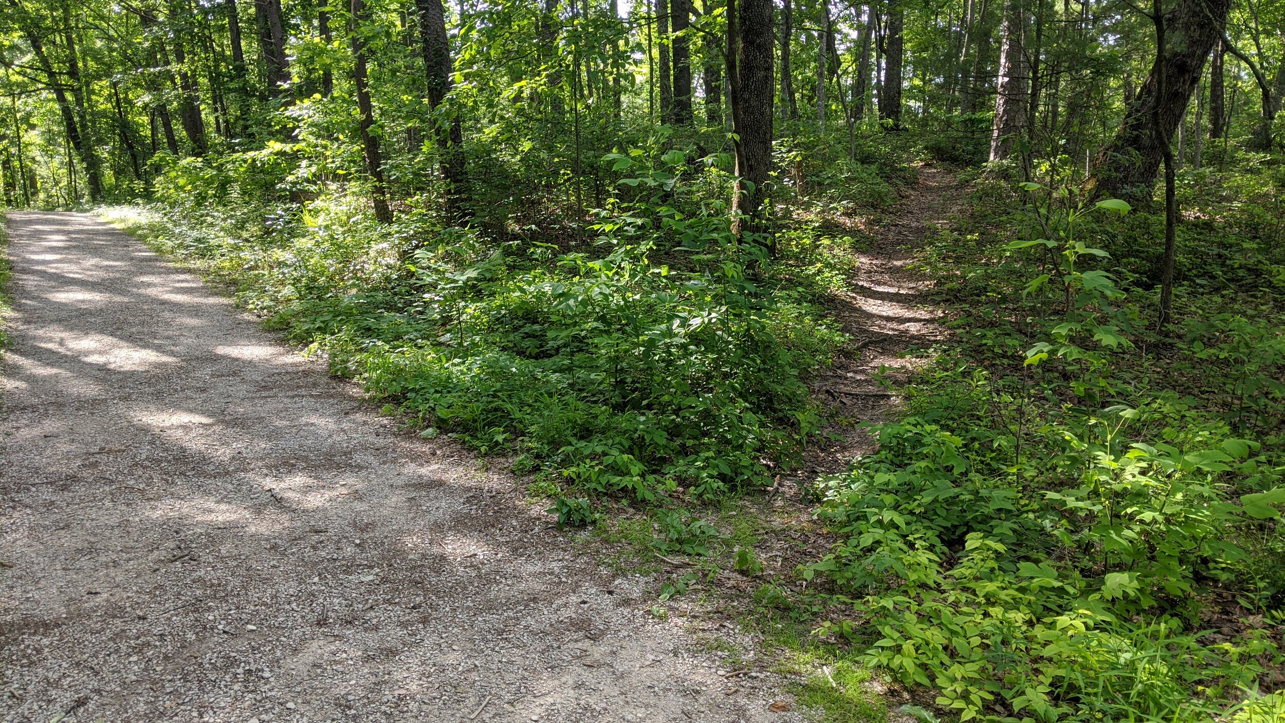
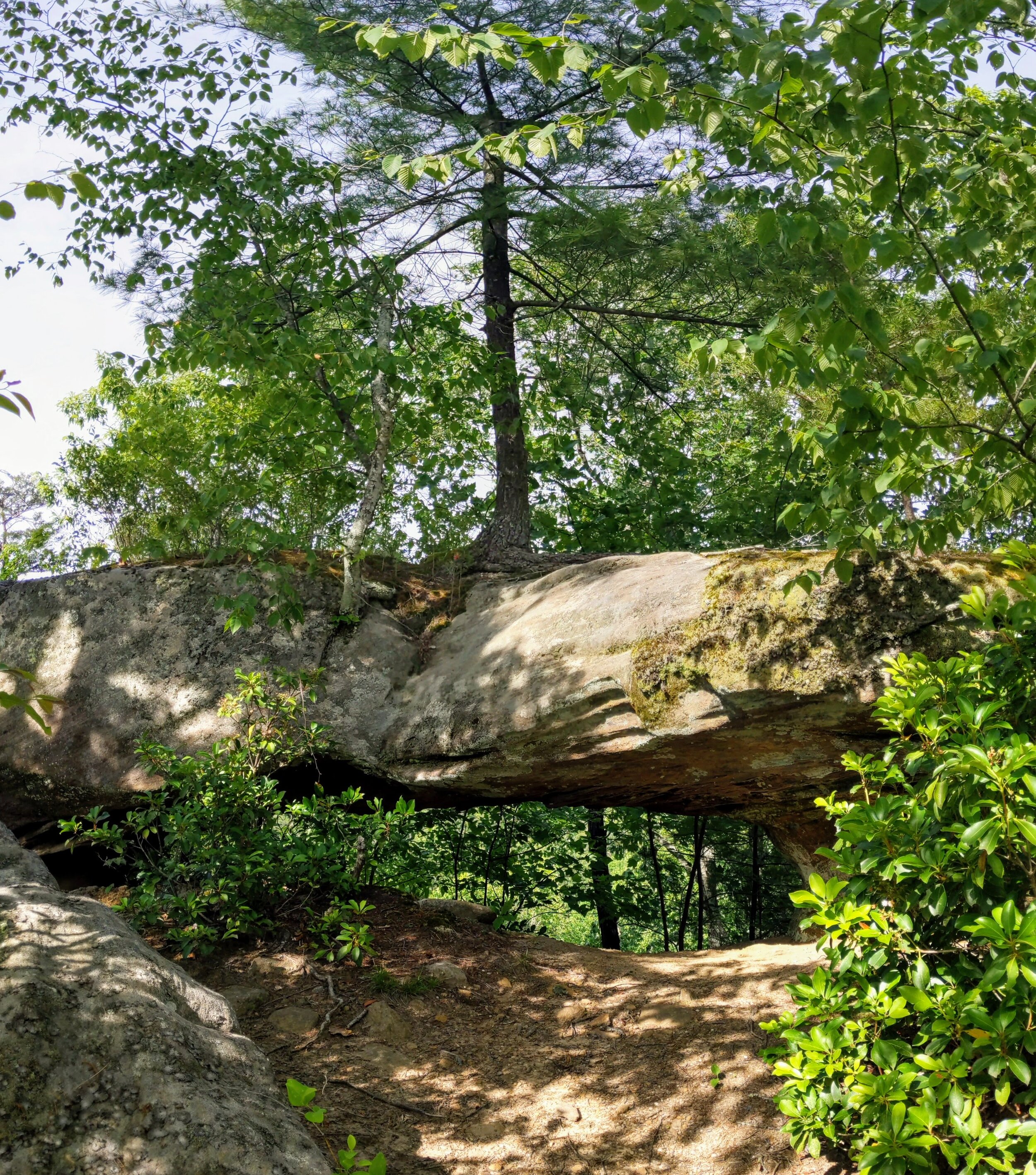
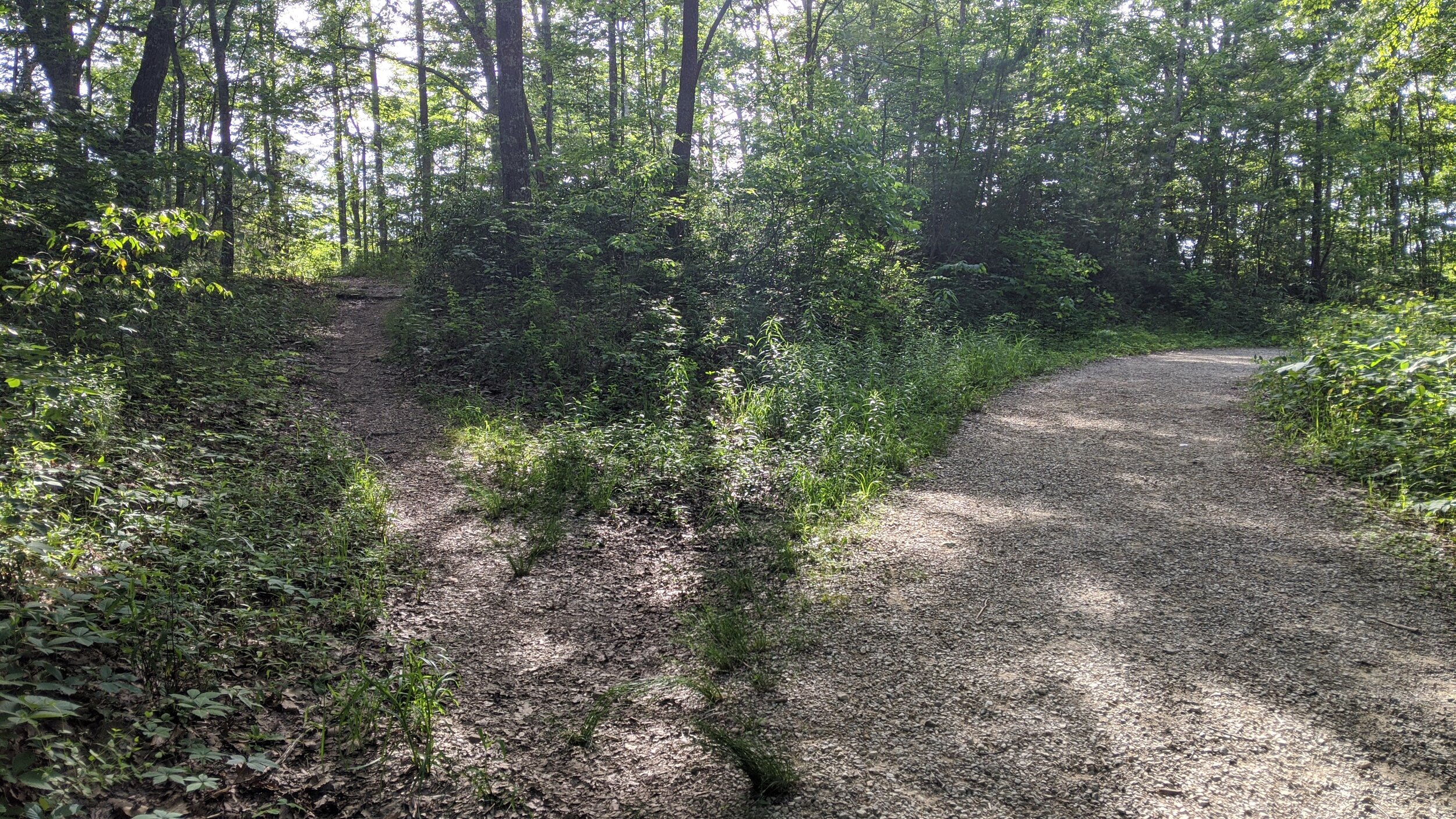
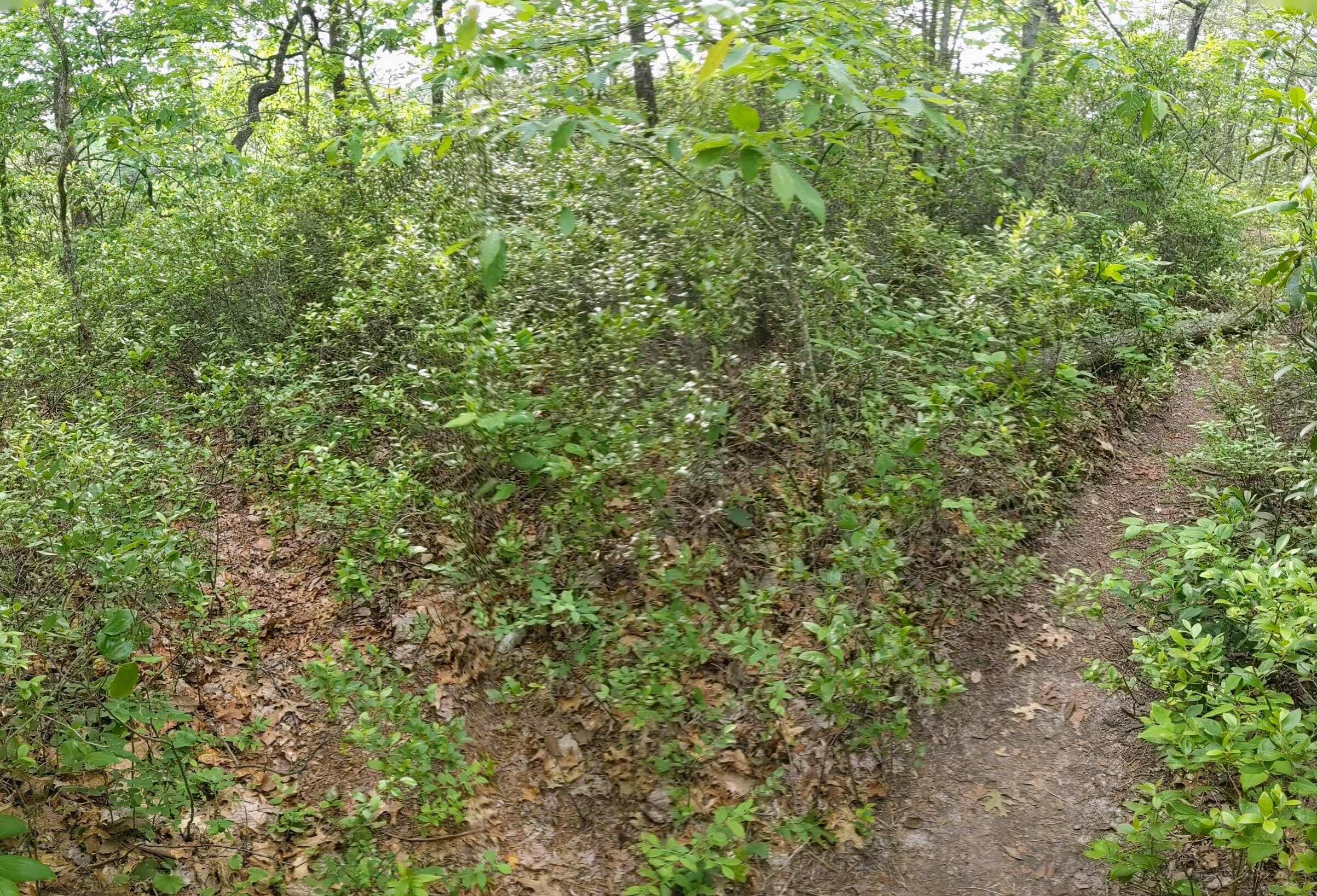
Trail navigation. Many have difficulty finding these arches. While the trails are unmarked, these arches are often visited with hard-pack trail to each. Use the GPS waypoints above in addition to this navigation narrative. Start at the gates to Double Arch Trail at the rear of the roundabout you passed before parking. Take the wide gravel trail out to mile 0.15 and turn right on the well established unmarked trail. Make note of another trail that forks together as you walk out. You will use this to continue to Star Gap Arch. Continue past a couple campsites, choosing the widest path at each intersection. Reach Arch of Triumph at mile 0.30 - it is down and to the left of the exposed sandstone. Retrace your steps and turn right at the fork that you noted on the way in. This leads back to Double Arch Trail. At mile 0.9, reach the fork to Star Gap Arch and turn west (left). This is double-wide track that will lead you to a gate. Continue past the gate and a few smaller trail intersections before reaching the turn to Star Gap Arch at mile 1.7. Turn north (right) and follow the path past a campsite and look to your left. There are three narrow trails on your left - take the last and most faint of the three. Make your way through some scrub and find exposed rock. Move left and descend in a switchback fashion before finding the trail to the arch. Be careful with your steps and choose where to descend carefully. There is very little space in some areas and a misstep could lead to a nasty (perhaps life altering/ending) fall. Continue moving north along the narrow trail and descend atop some roots between rocks. Use your hands on either side to move slowly and carefully. Continue out until reaching the arch and take your time taking it all in. Feel free to go back up to the ridgetop and walk out above the arch where some limited views are available. Retrace your steps to return to the trailhead.
CAUTION - Kids. The one tricky spot can be dangerous for the littles. While teenagers love it, this hike may not be suitable for young children. If you’re unsure, hike it yourself first, then bring the kiddos if you feel it’s safe.
CAUTION - Cliffs. Be careful to avoid getting too close the edge of cliffs. This hike may not be suitable for younger children.
CAUTION - Poisonous snakes. Timber rattlesnakes and copperheads can be found in the region. Stay alert on the trail, as snakes are commonly found taking in the warmth of the trail. Give them a wide berth or wait for them to move off the trail.
CAUTION - Bears. Black bears are growing in number throughout Daniel Boone National Forest. Be sure to follow bear safety precautions. [Be Bear Aware by US Forest Service]