Anvil and Eholia Arches
/

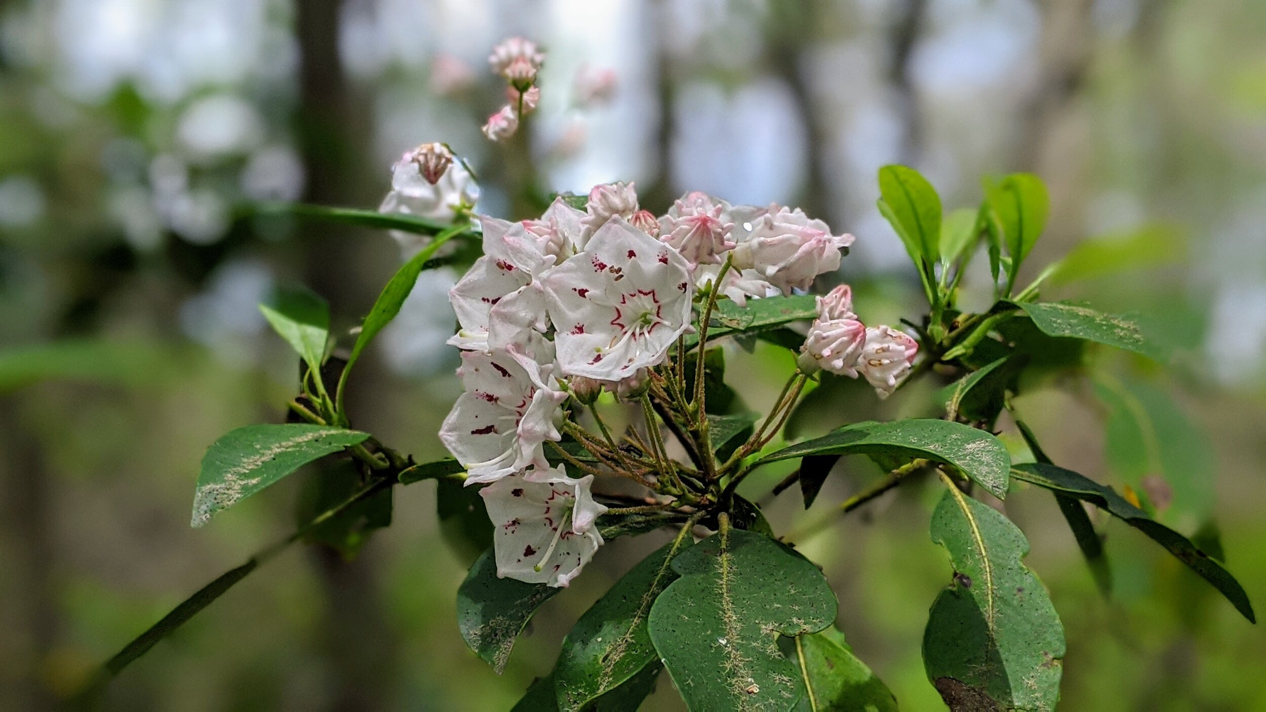
Overview. This is a tough hike with plenty of bushwhacking and frankly, a couple arches that aren’t exactly five stars:-) That said, I loved it! The hike back to Anvil Arch is relatively easy, but the ‘path’ to Eholia Arch is rough. It appears a wildfire devastated much of the vegetation in the area - leaving skeletons of rhododendron and mountain laurel on the forest floor. Be sure to read the cautions below.
Route Type | Out and Back
Total Distance | 1.9 miles
Overall Difficulty | Strenuous
this hike is unmarked; experienced off-trail hikers only
year-round bushwhacking is required to reach Eholia Arch
GPS Waypoints
Trailhead | 37.805903, -83.677928
Waypoint #1 | 37.801528, -83.679444
Anvil Arch | 37.801861, -83.678056
Eholia Arch | 37.799056, -83.681944
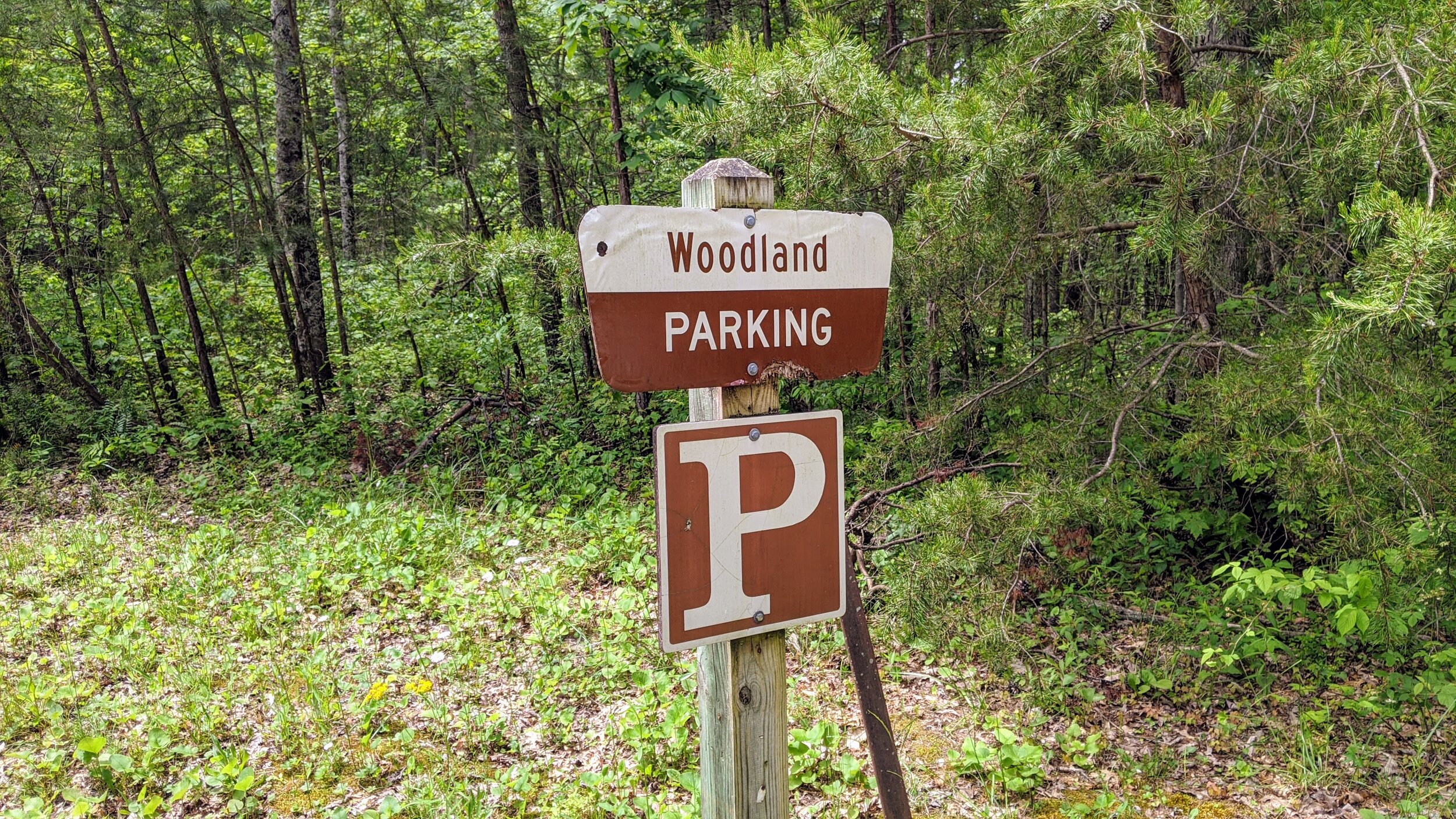
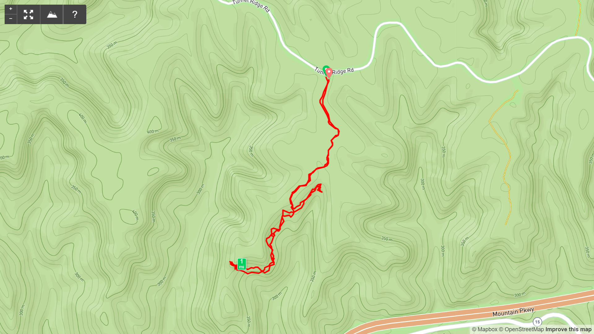
Trailhead. Woodland Parking Lot off Tunnel Ridge Road serves as the trailhead for this hike. Take the forked trail nearest the pit toilet. [map]
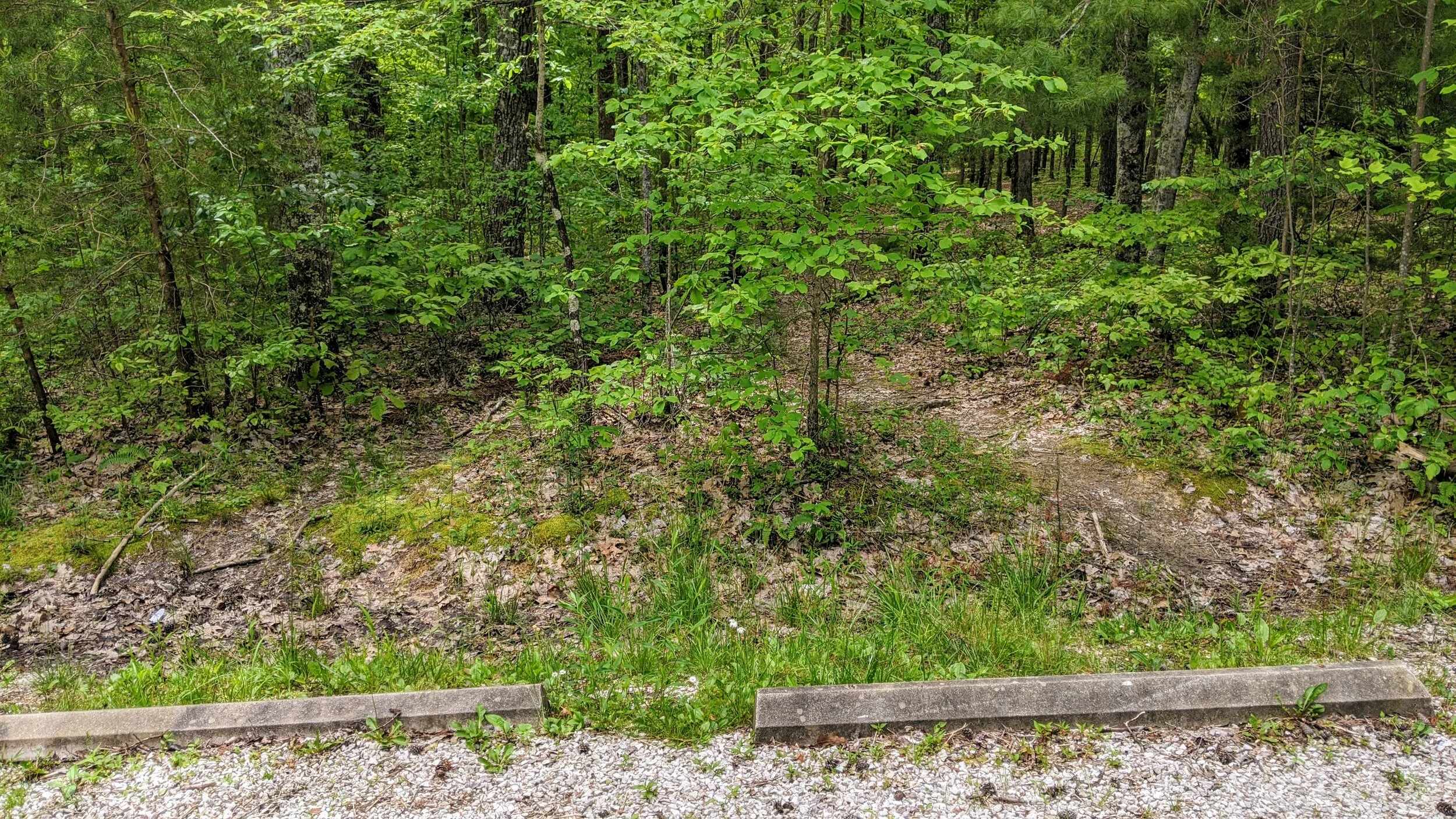
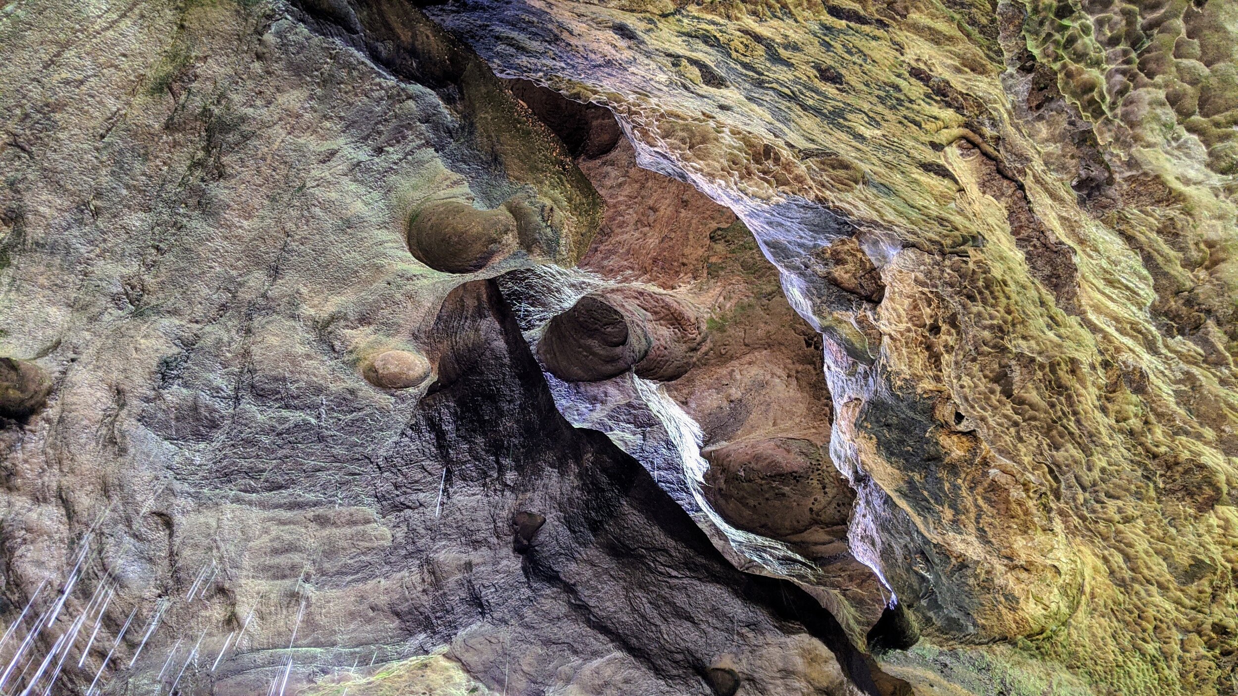
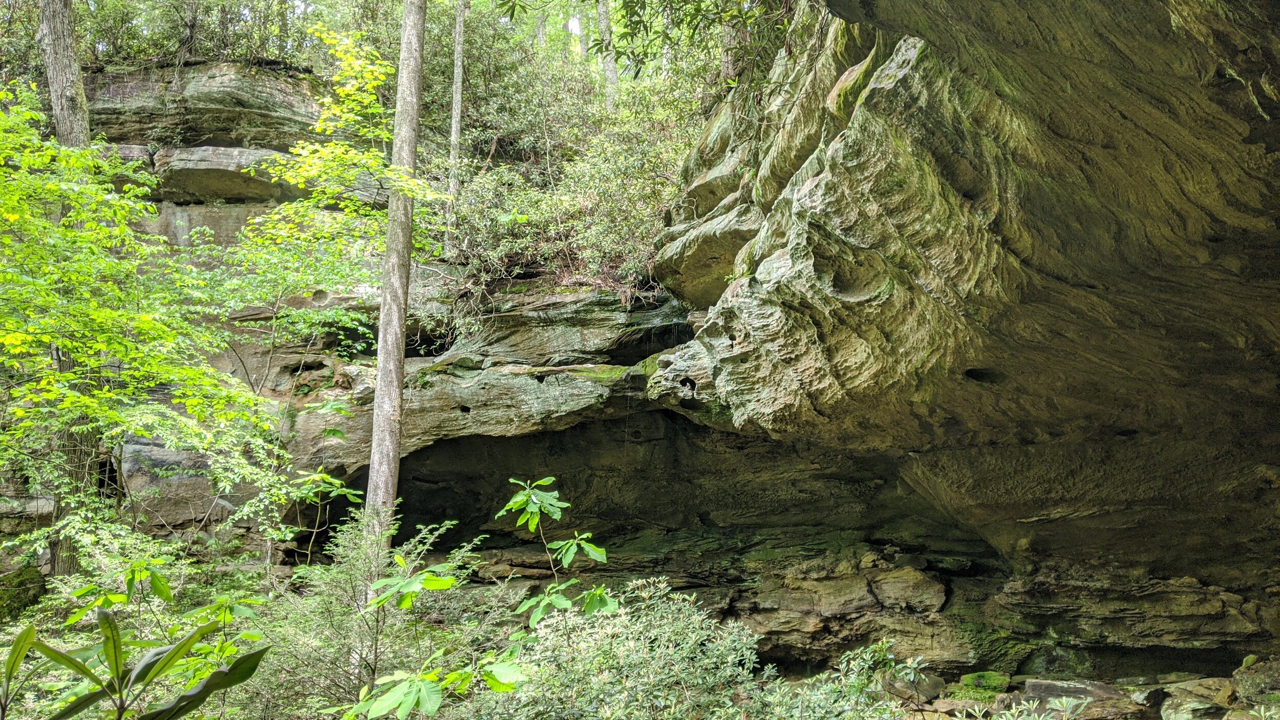
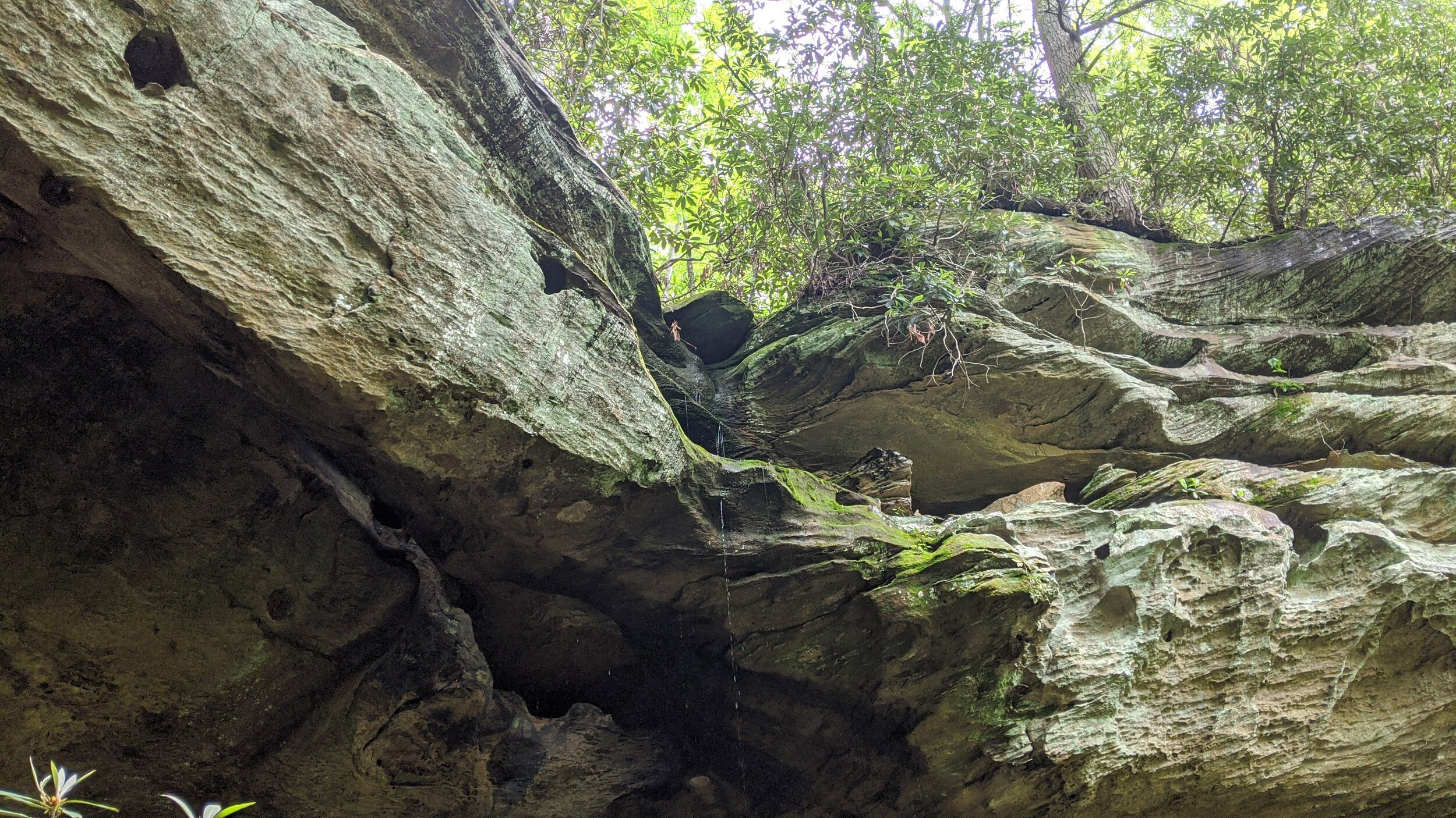
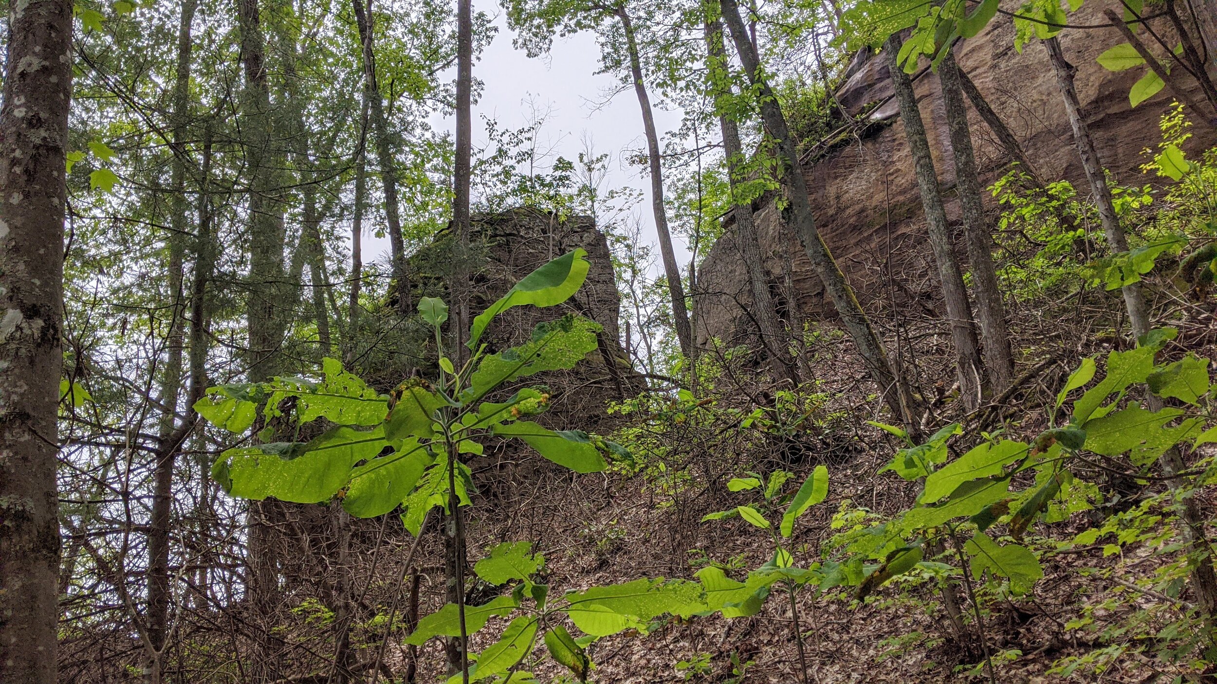
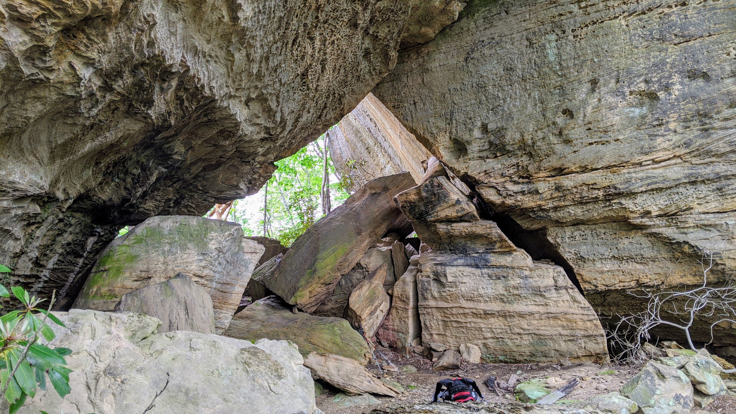
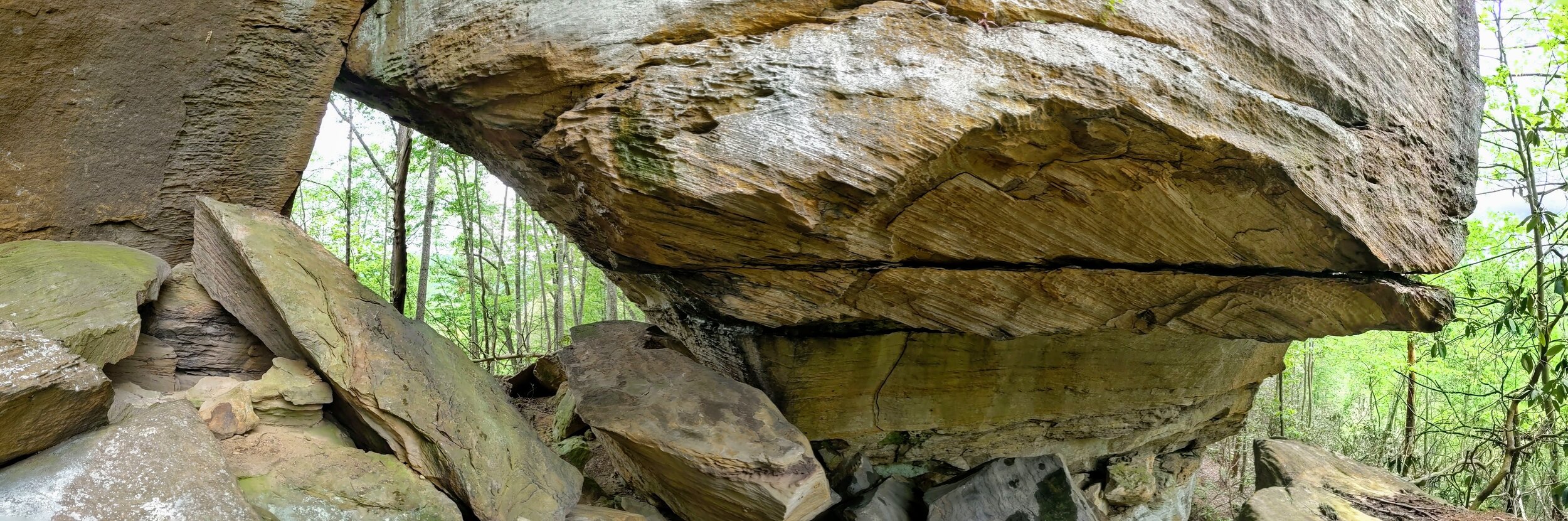
Trail navigation. The trail begins by passing a number of established campsites off the parking lot. This is our preferred camping area when we visit, so keep it clean for us;-) Follow the wide, well-defined trail straight back. As you look left, you’ll notice a forest road that leads out to a large opening and pond. Stay on the trail nearest the campsites until reaching a large campsite at mile 0.16 and turn right to follow the less defined user trail southwest. Continue along a general southwesterly track and notice a patch of young growth to your right. Stay left of it and continue until reaching the beginnings of a drainage at mile 0.27. Cross and move steeply uphill a short while to reach the next finger of the ridge where the trail becomes well defined once again. From here, head south-southwest following the trail and sidestep trails around downed trees. Footing will remain firm and reach Waypoint #1 listed above and taken from https://toredrivergorge.com. This is a bit of exposed rock that has some moss growing on most of it (indicating a less frequently traveled area). Walk down or if you want to reduce your risk, crab-walk down. Once at the bottom of the rock outcropping, there is a trail left, right, or straight. Go straight down the hillside 10-12 paces. Make a left to visit Anvil Arch (easy off trail hiking). Keep the cliffline in view on your left and make your way to a corner in the rockface. Anvil Arch sits in the corner and can be somewhat difficult to pick out. When you go under the rock shelter, the arch is revealed ever so slightly. Anvil Arch has a thin opening that on the day I visited, sunlight poked through the opening. Continue along the cliffline to take in the views until the trail peters out and retrace your steps to the split at the base of the rock outcropping. Once there, you need to decide if you’re ready to bushwhack to Eholia Arch. If you’re not feeling it, trust me - skip it! For the hearty bushwhacking hiker still reading - I warned you. Continue past the split and find some disturbed soil (darker without dead leaves on top). From here, keep the cliffline in sight on your right and make your way out toward Eholia southwest of you. You’ll begin bushwhacking here over all the death and see a large rock split from the rest of the cliffline. You’ll need to circle around that, but keep a wide berth, as travel around the rock is more difficult. Once around the rock, you’ll move almost directly west and Eholia Arch will come into view above you. Keep going and try to find the most easily navigated path available to you. There is a small climb to reach the arch, but that’s a breeze compared to picking your way through all the deadfall. Once at the arch, enjoy your time there. After going to the back side of the arch, I couldn’t help but wonder if someone misnamed these two arches because from the back, Eholia looks a lot like an Anvil. Anyway, retrace your steps as best you can to return to the trailhead.
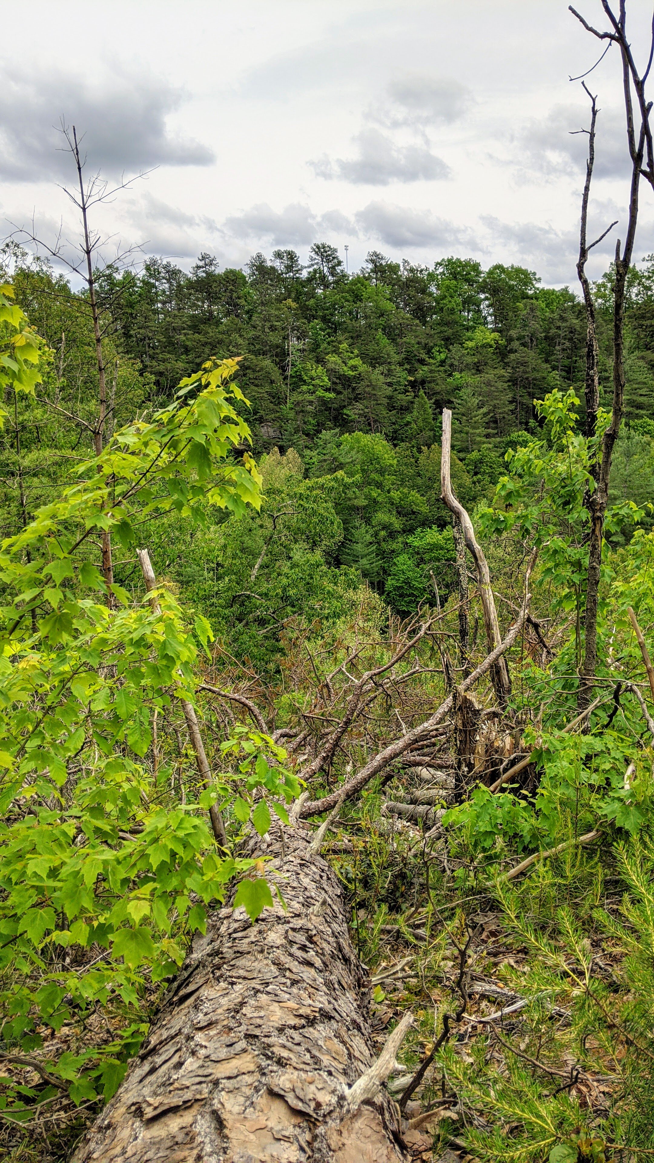
CAUTION - Deadfall. Though the hike is relatively short, plan for a 2 hour-per-mile pace on the segment from the split to Eholia Arch. The route is littered with deadfall including trees, rhododendron, and mountain laurel with steep sidehill footing on top of dry, crunchy deadfall.
CAUTION - No campfires near deadfall. With the extensive amount of dead, dry fuel littering the area, campfires should NOT be used in the area. Plenty of well established campsites are nearer the trailhead at Woodland Parking Lot. Camp there if a fire is needed. Feel free to pack out some deadfall to use as kindling and reduce fire risk in the process.
CAUTION - Cliffs. Be careful to avoid getting too close the edge of cliffs. This hike may not be suitable for younger children.
CAUTION - Poisonous snakes. Timber rattlesnakes and copperheads can be found in the region. Stay alert on the trail, as snakes are commonly found taking in the warmth of the trail. Give them a wide berth or wait for them to move off the trail.
CAUTION - Bears. Black bears are growing in number throughout Daniel Boone National Forest. Be sure to follow bear safety precautions. [Be Bear Aware by US Forest Service]