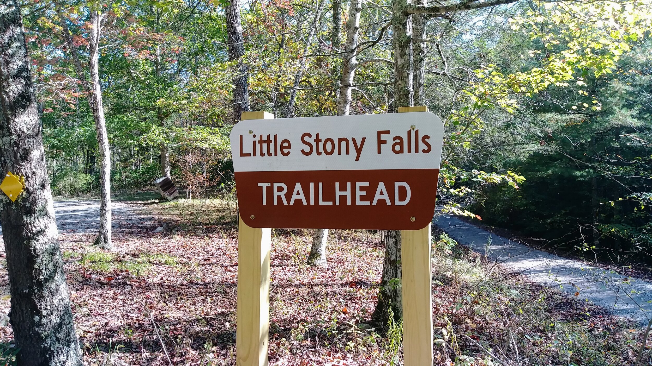
Little Stony Falls
/
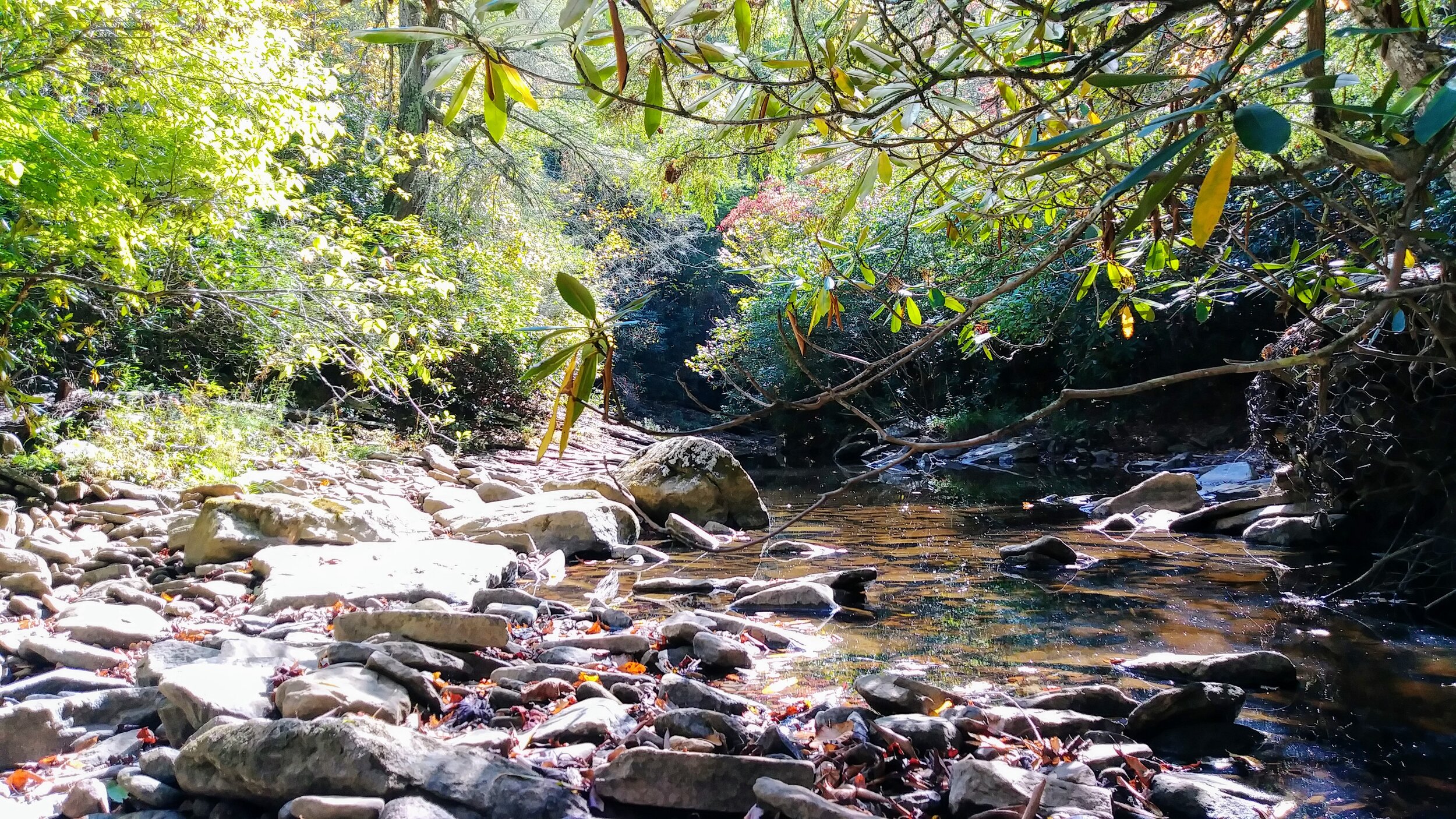
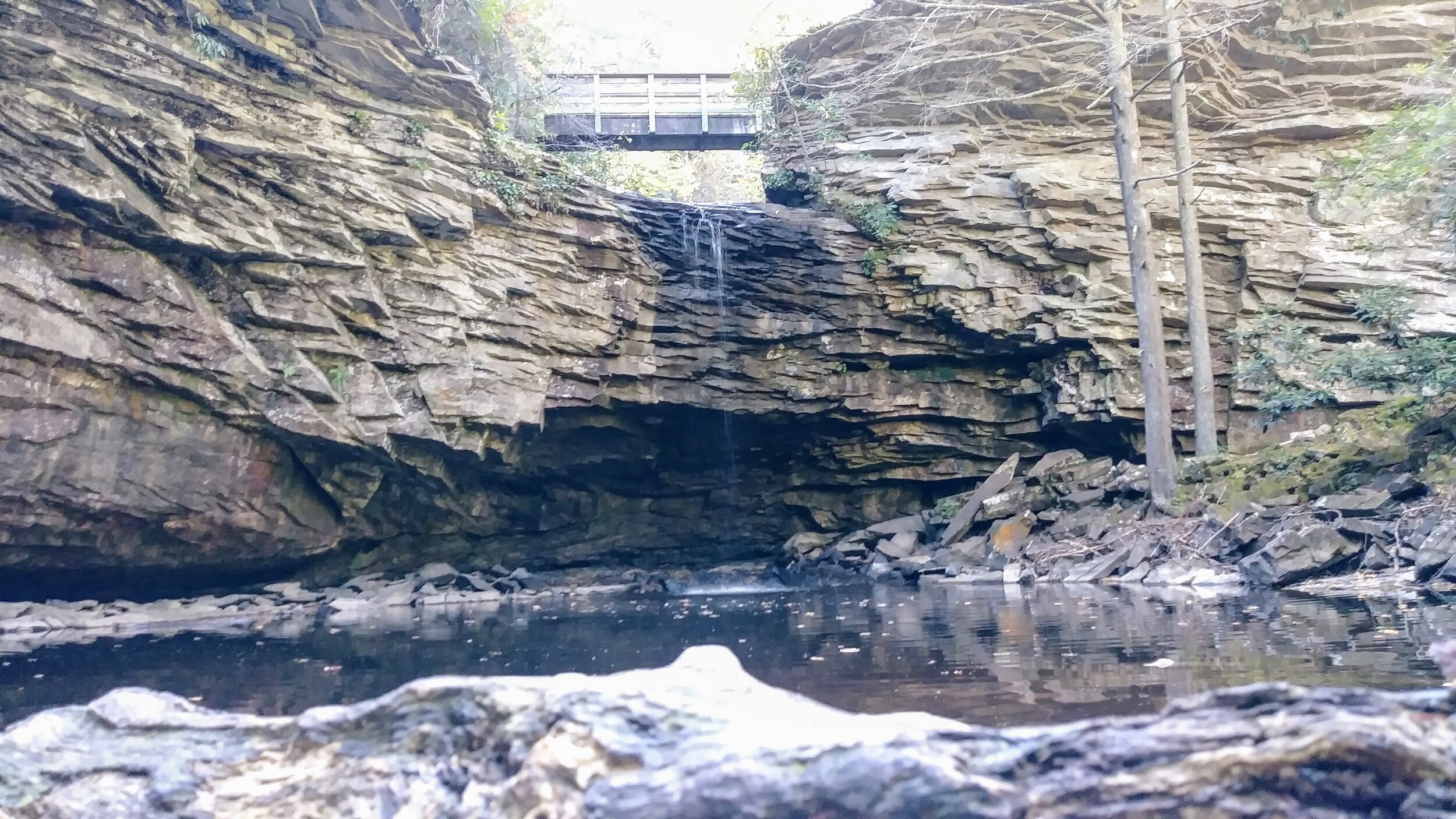
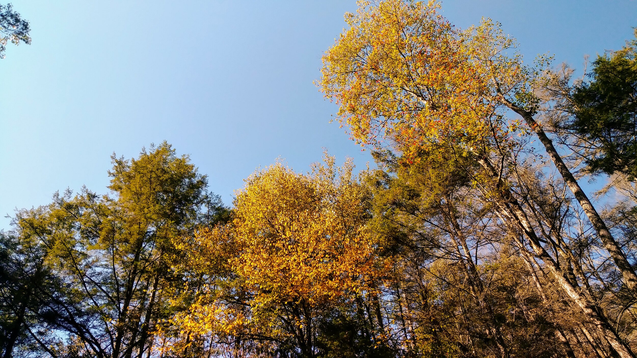
Overview. Practically a drive-up hike, you won’t work up much of a sweat getting to Little Stony Falls - but you will be treated to a beautiful waterfall that even after extensive drought made for a perfectly serene morning. With rhododendron thickets in view of the falls, this hike would be at its best in summer when the blooms are out.
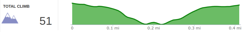
Route Type | Out and Back
Total Distance | 0.4 miles
Overall Difficulty | Easy
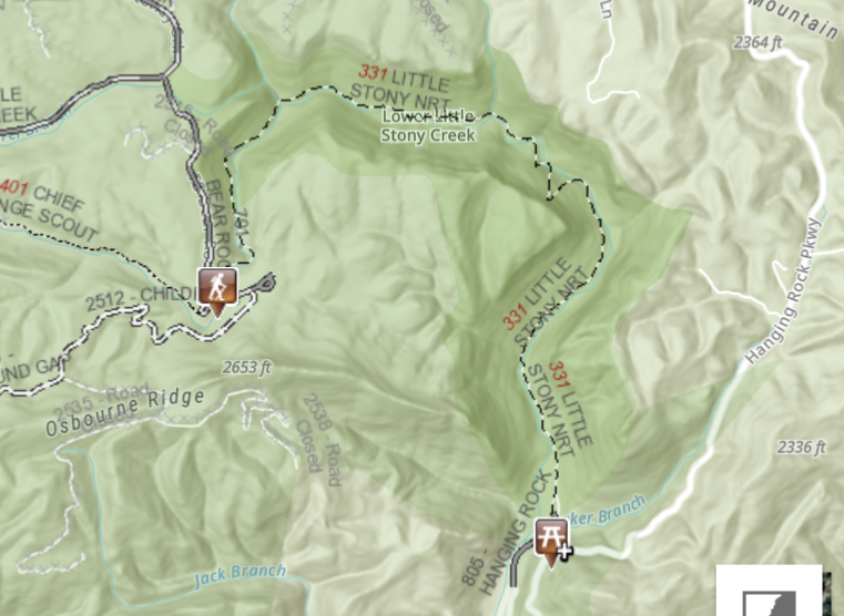
Little Stony NRT Map | US Forest Service
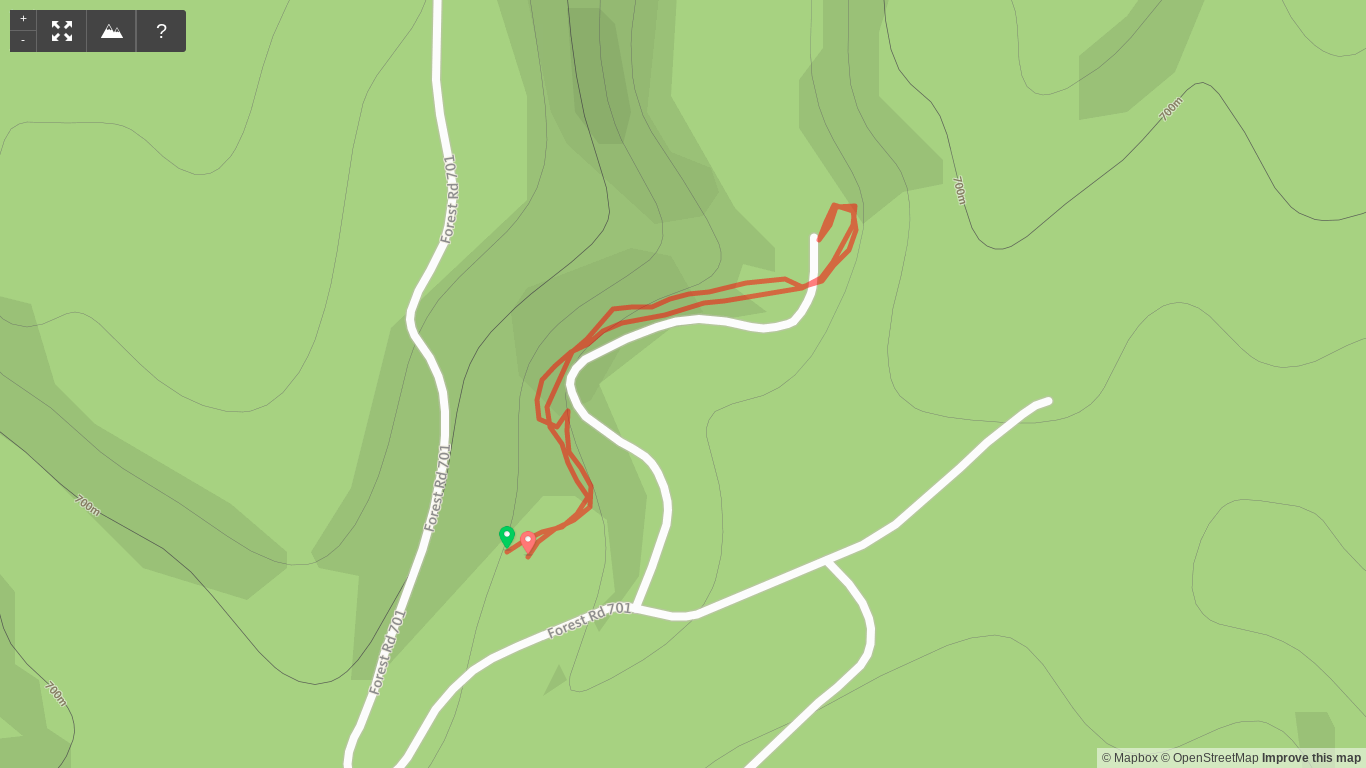
Trailhead. Located off FS-701, it’s a bit of a drive on gravel roads to reach the trailhead. In the parking lot, trash bins are available, and just down the road, pit toilets are available though it appeared no one had used them in some time before my visit. [map]
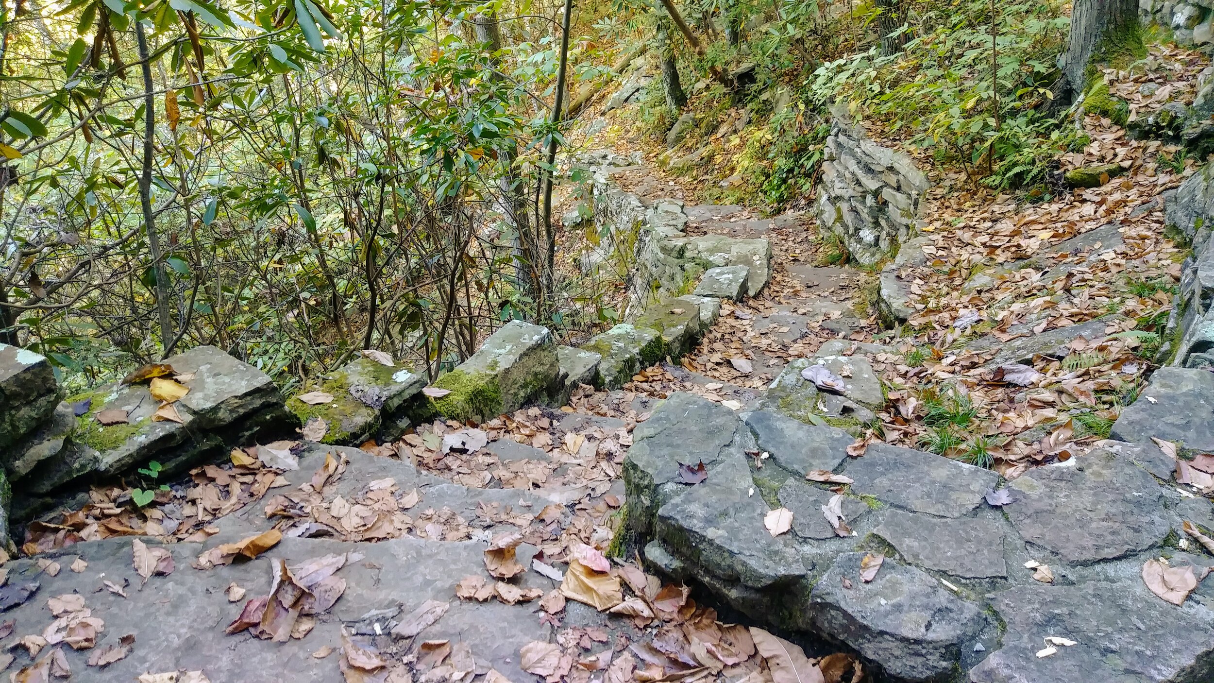
Trail navigation. This is a simple out and back that follows the creek to the falls. You’ll turn left soon after starting your hike and left again to descend to the falls that you crossed over on a wooden bridge. Retrace your steps to return to the parking lot.
Continuing to Hanging Rock. The path on this day was closed somewhere between the falls and Hanging Rock. There was a substantial landslide that wiped out a portion of this trail that had to be reconstructed. It appears as of November 2019 that this has re-opened.
CAUTION - Poisonous snakes. Copperheads and timber rattlesnakes can be found in the area. Stay alert on the trail, and if you see one, give it a wide berth or wait for it to move off the trail.
CAUTION - Bears. There are plenty of black bears in the area, so it pays to take appropriate precautions including bear-safe food storage, carrying bear spray (especially when hiking alone), and knowing what to do when you encounter a bear. [Be Bear Aware by US Forest Service]