2019 Georgia Jewel 35-miler
/
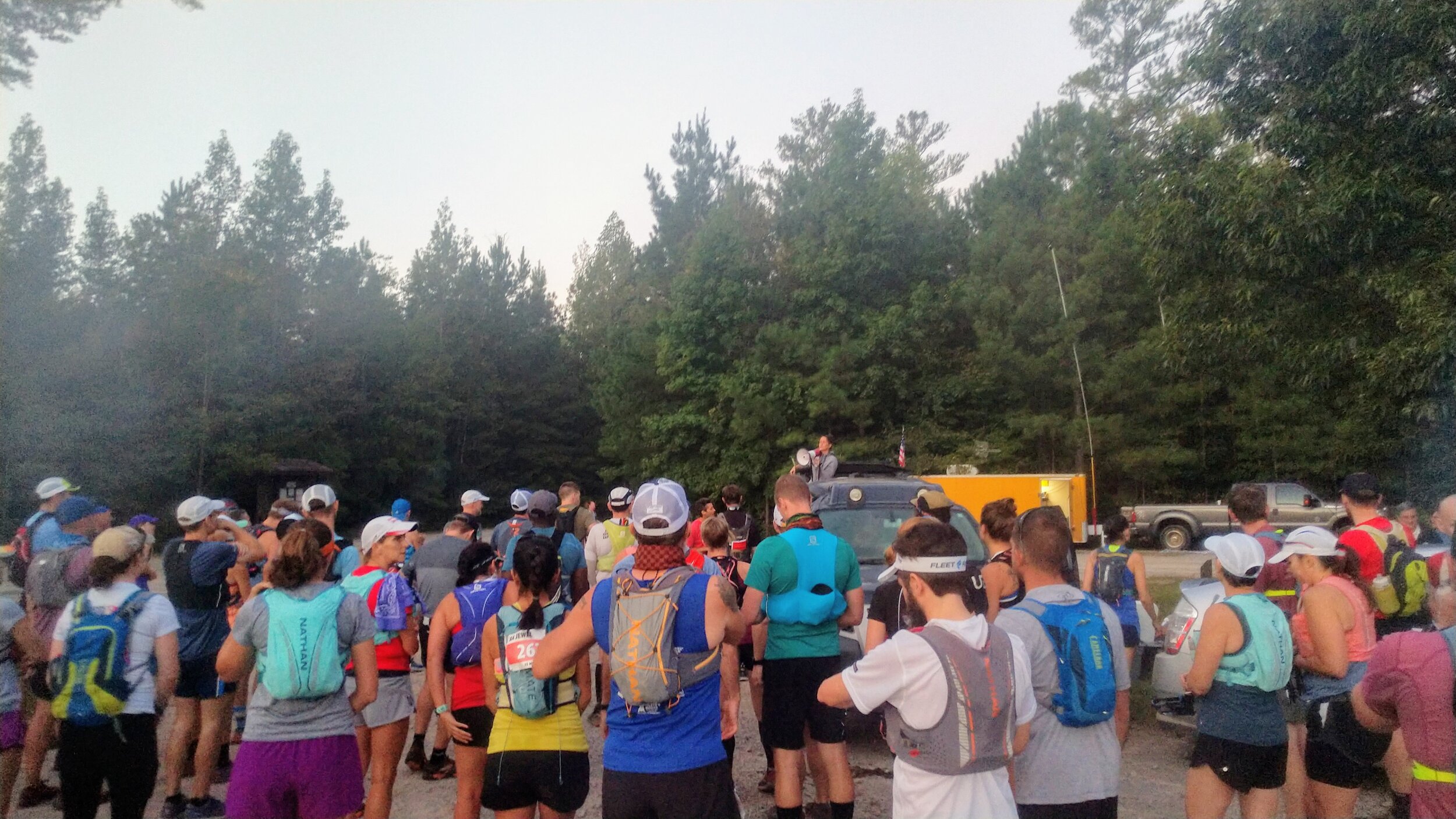
Overview. After volunteering at this race a few years ago, I finally had the chance to run it. Under the care of Jenny and Franklin Baker, this event has become a sellout and with so many good reasons - awesomely run-able, but challenging course, amazing volunteers, a culture of support and positivity, and…Mount Baker!
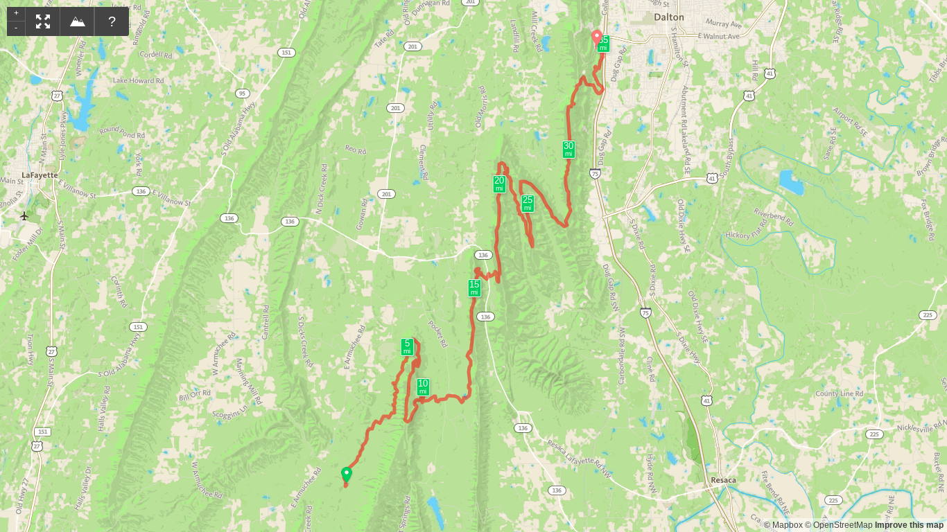
Route Type | Point to Point
Total Distance | 35.4 miles
Start/Finish | Dalton, Georgia
Pinhoti Trail Section Map | US Forest Service
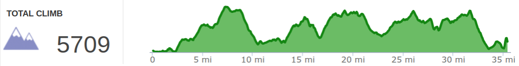
Race Goals. I don’t like heat and never run well when it’s above about 75 degrees. A race in Georgia at the tail end of Summer with heat indexes in the 90s isn’t ideal. So, the goal was simple - finish the race. This is a fantastic warm-up with similar elevation demands to my key race, Cloudsplitter, three weeks later. I figured I’d run until it got hot and hike the rest. That’s exactly what happened:-)
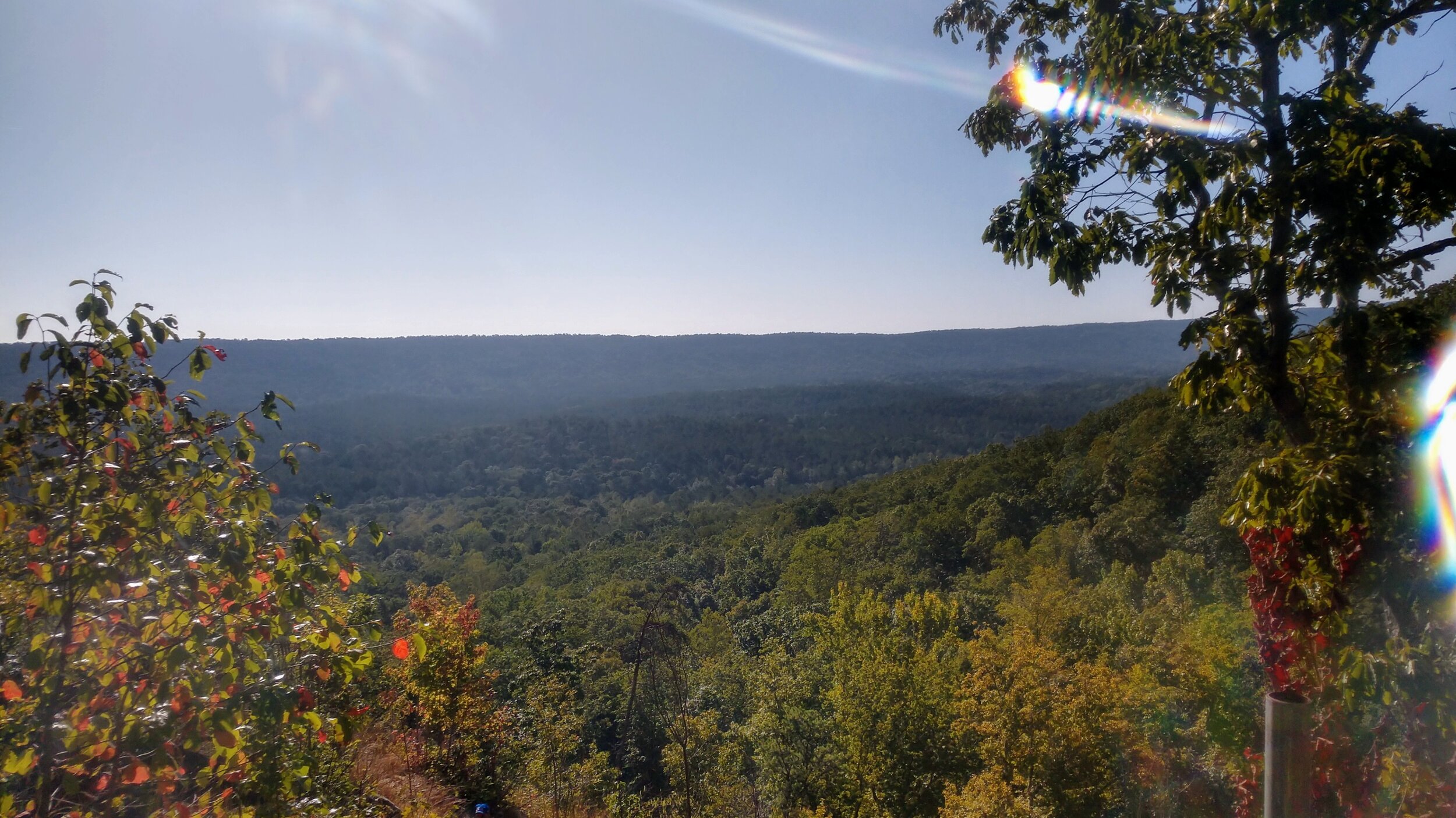
Section 1 | Dry Creek to John’s Mountain | 7.5 miles. This opening section is so much more run-able than I’d thought. The first few miles before the climb up John’s Mountain are fast and flat. Even the climb up this first mountain isn’t bad. The only slow spot is a short section of gravel road toward the top. Once up top, you get the reward of a beautiful view.
Section 2 | John’s Mountain to Pocket Road | 3.3 miles. After leaving the aid station, the trail is filled with exposed, broken rock that is a lot of fun to run. This continues off and on for a mile+ which is where I took a nice, hard fall while looking at a trio of cool rocks. Whoops. There’s a set of stone steps on the way as well that provide another big time view. The final bit to Pocket Road is a fast downhill with progressively smoother and softer trails as the descent continues until bottoming out to more fast flat.
Section 3 | Pocket Road to Snake River | 6.5 miles. This section is a nice lead-in to the halfway point. The first bit is a gentle uphill before the climb up Horn Mountain begins. This climb is a bit rockier, but still very run-able. This section is also where I ran into a guy who was out of water with 3+ miles to the next aid station. I tend to over-carry, so I gave him 16 oz. to get him through. Bladders can be tricky like that…always top-off, right? Also, Snake River is a big aid station with major road access, so it’s a terrific place to take some time and get yourself together. I took a nice break here, checked time, and decided I was good to simply hike to the finish.
Section 4 | Snake River to Stover | 7.2 miles. These miles were a fun hike through the forest. I paired up with another runner for a good stretch on this section and enjoyed some good conversation and a lot of fast hiking. This takes you up Mill Creek Mountain, down Stover Gap, and back up Hurricane Mountain. Stover is the last manned aid for 8.4 miles, so if you need some goods, get them here.
Section 5 | Stover to Lonely Water | 4.5 miles. After leaving Stover Aid Station, I finished the climb up Hurricane Mountain and parted ways with my race buddy when I thought I saw a witch and decided maybe I needed a minute to catch up on hydration/nutrition. Hey, it was hot, and I was made for Winter:-) With senses restored, I finished the stretch to Lonely Water with another runner who I stayed with until Power Lines. This section brings you to the final ridgeline on Dug Mountain.
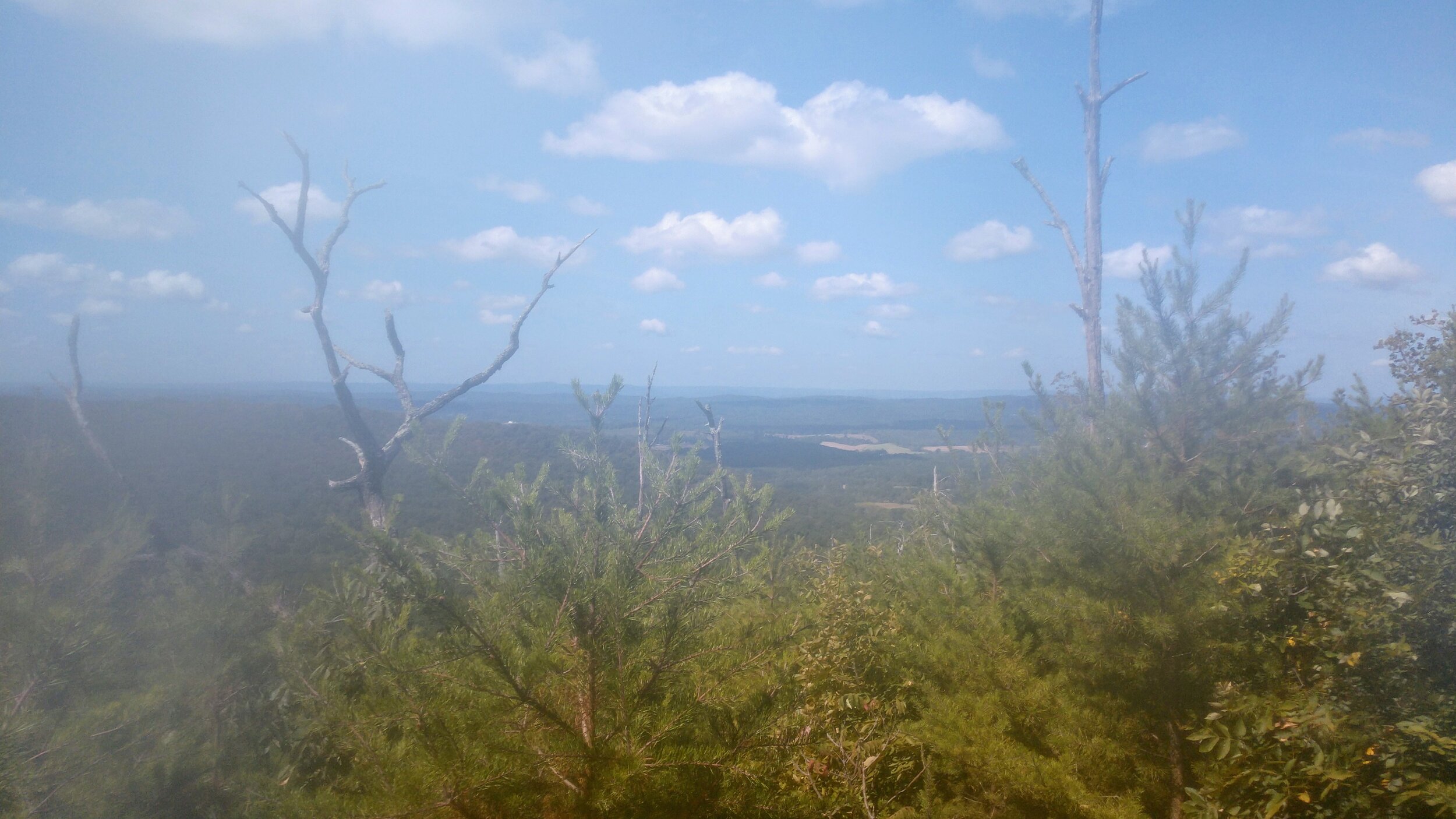
Section 6 | Lonely Water to Power Lines | 3.9 miles. The trail on top of Dug Mountain is classic ridge running with rock outcroppings and mini side trails to big views to the west. I stopped and snapped a couple photos that were jacked up by the amount of sweat on my camera lens. Georgia. Summer. Oh well, the run down to Power Lines was great - even if fully exposed to the sun.
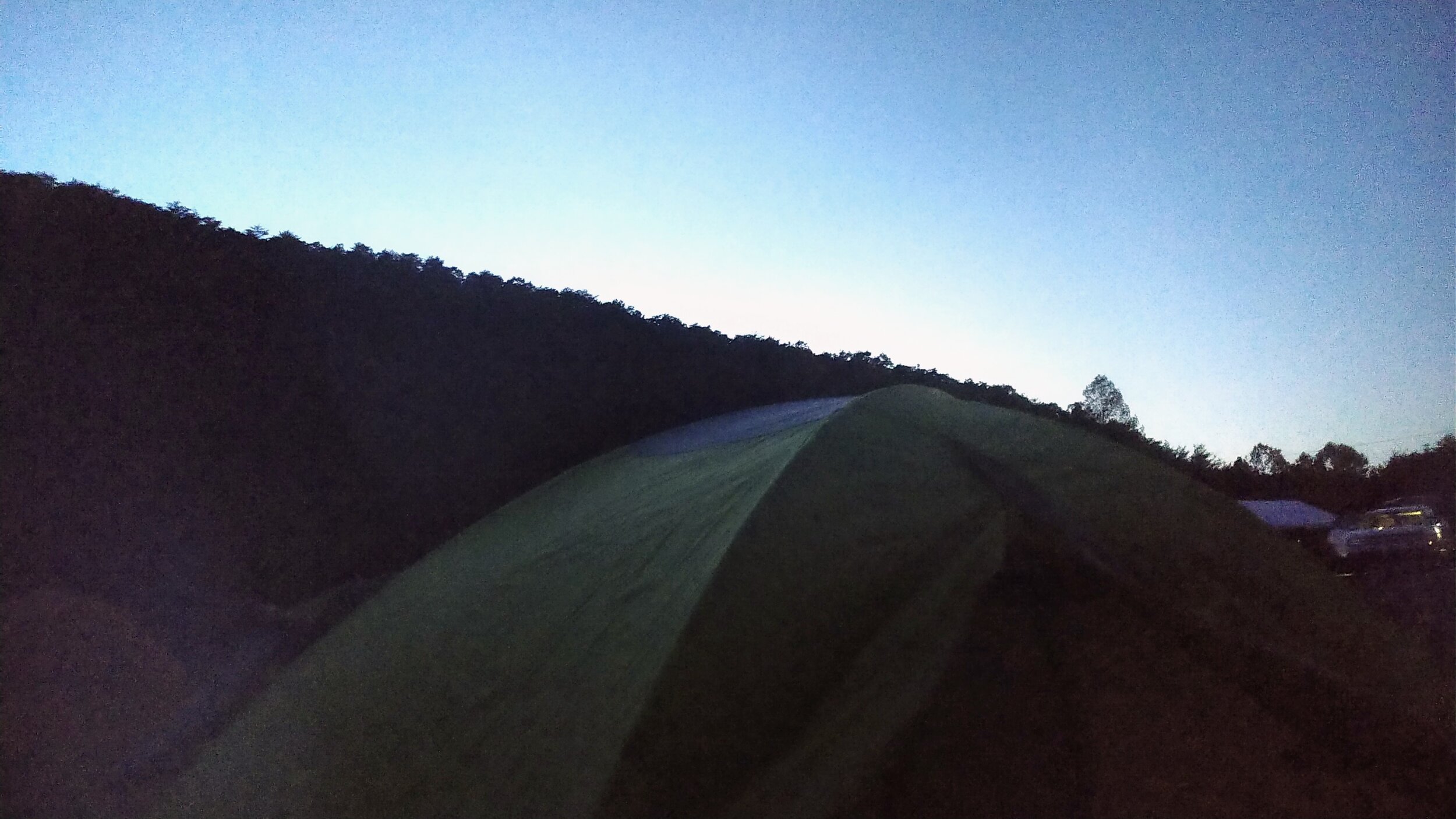
Section 7 | Power Lines to Finish | 2.5 miles. Power Lines was GREAT for me! I somewhat jokingly asked if they had a beer and the volunteers just happened to have this amazing IPA brewed in Marietta, Georgia. I slammed most of it at the aid station and kept drinking until it was gone just after heading back under the trees. That was one helluva beer! I owe those guys big time:-) The trail here is very fast if you’re running. I wasn’t, but plenty of others were. It pokes out to an idyllic neighborhood before circling around to some private road. Things wind back and forth, but then you turn a corner to see Mount Baker. It’s gotta be the steepest pavement I’ve ever stepped foot on, and it was a glorious way to close out the race. I made my way up, watching a guy swerve his way up in front of me. When you’ve covered 17, 35, 50, or 100 miles and see that thing, you just kind of smile and giggle. It’s AWESOME!
Final Thoughts. I’d recommend this race to anyone, and I expect that so long as the Bakers are at the helm, the Jewel will sellout each and every year. The course is tough, but fair. It’s extremely well organized, has a lively, enthusiastic, and positive culture around it, and well, it’s just one of the best races you’re ever going to find. Before the race, I was cursing the Summer heat, put a moratorium on any summertime ultras, and generally was done with sweating my face off. After the race? Well, may the Georgia Jewel gets a special exemption because it really is just that good!!!