Muir Valley Named Waterfalls Hike - Liz's Arch, Horseshoe Falls, Joe Ponder Double Falls, and Nellie's Falls
/
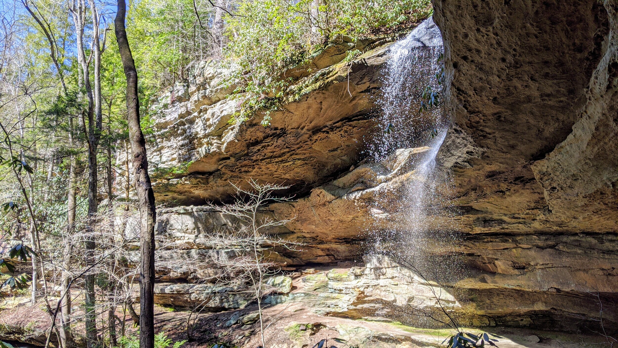
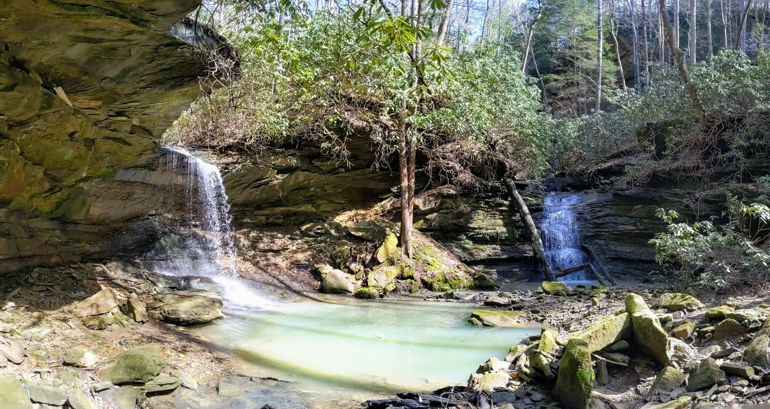
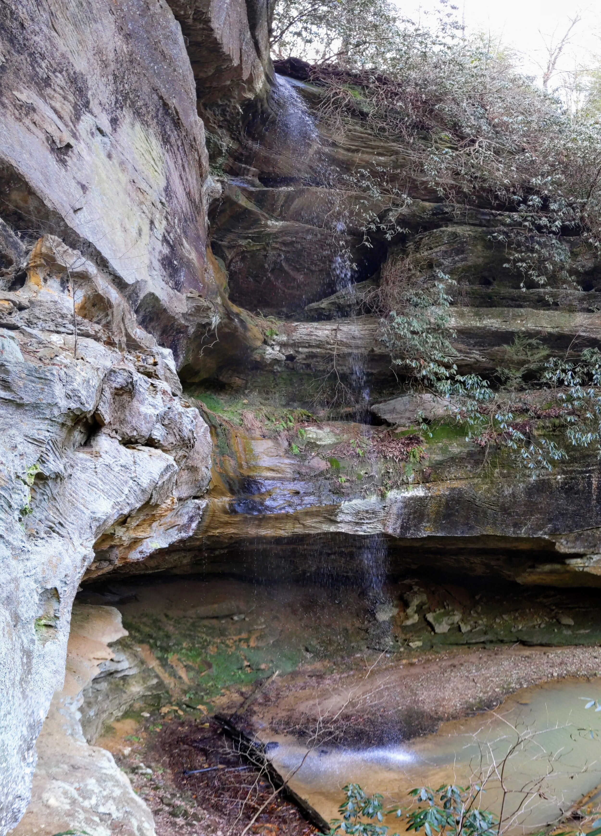
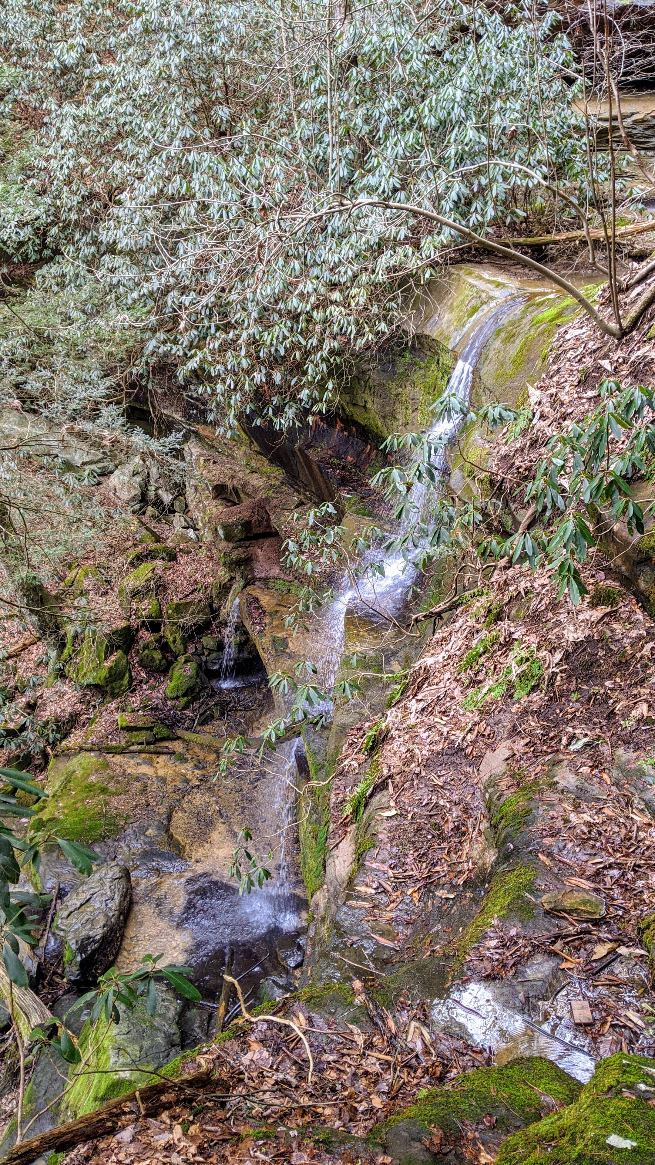
Overview. This was a fantastic hike featuring an arch and four waterfalls. I was a bit late after recent rains (more than 24 hours earlier), so these could certainly have more flow closer to rain - especially at Nellie’s Falls. Horseshoe Falls is amazing, but Joe Ponder Double Falls steals the show. With the double falls in the foreground, Upper Joe Ponder Falls can be seen in the background on lookers’ right. Simply amazing!
Route Type | Loop with Fingers
Total Distance | 4.8 miles
Elevation Gain | 988 feet
Overall Difficulty | Moderate with One Strenuous Climb
Map of Muir Valley Climbing Area
GPS Waypoints
Trailhead | 37.724528, -83.634544
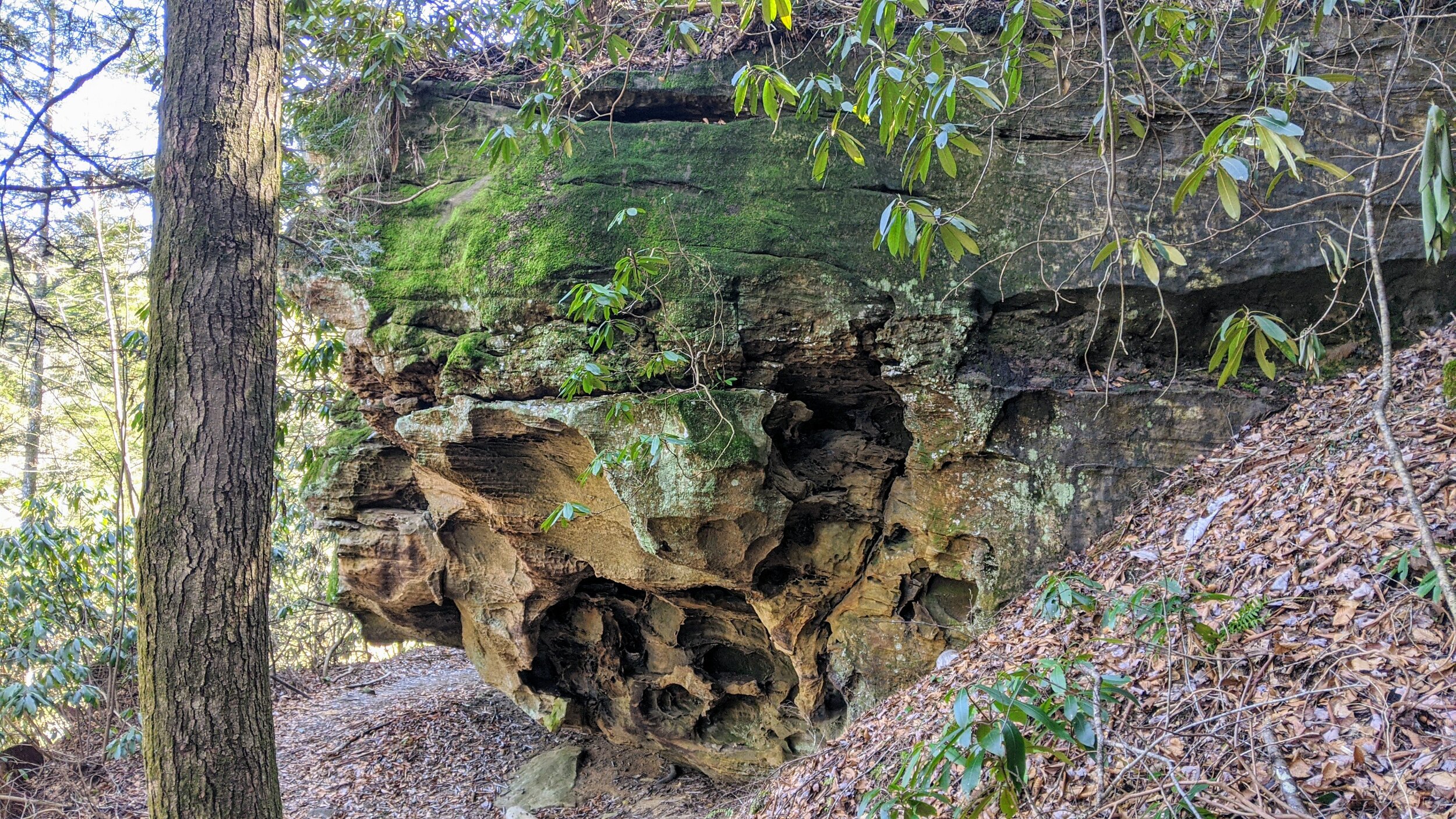
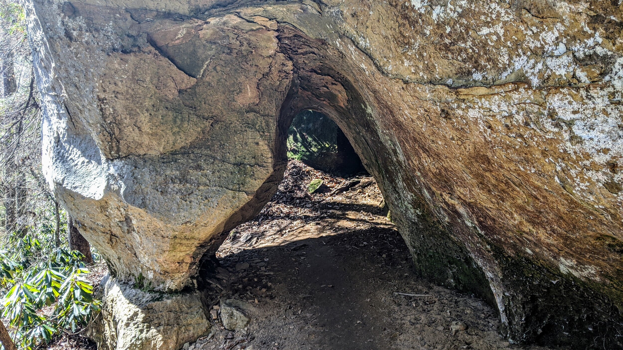
Liz’s Arch | 37.724131, -83.630719
Bridge | 37.723992, -83.629797
Horseshoe Falls | 37.725667, -83.623242
Turn to Joe Ponder Falls | 37.726658, -83.628342
Joe Ponder Double Falls | 37.728099, -83.624926
Turn to Nellie’s Falls | 37.730003, -83.637289
Nellie’s Falls | 37.729249, -83.641191
NOTE: Sign the liability waiver and pay the $10 parking fee online at https://muirvalley.org
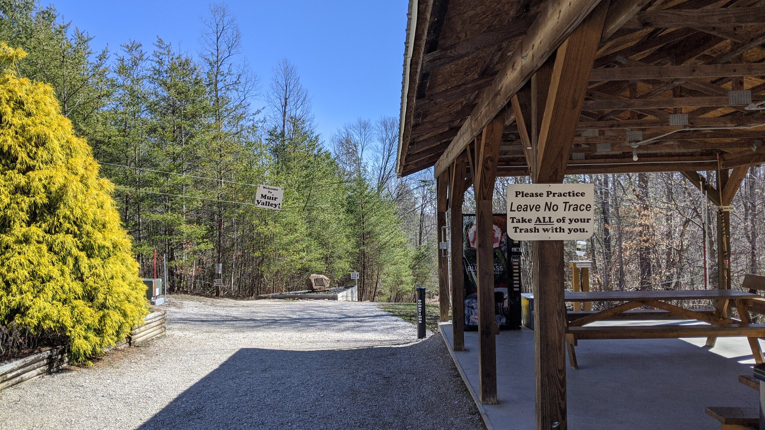
Trailhead. Muir Valley is located off Big Andy Ridge Road south of Red River Gorge proper. You’ll turn onto Fincastle Road and stay left at each fork until you reach the parking lots of Muir Valley. On cold, rainy days like the one on which I visited, you’ll have front row parking. [map]
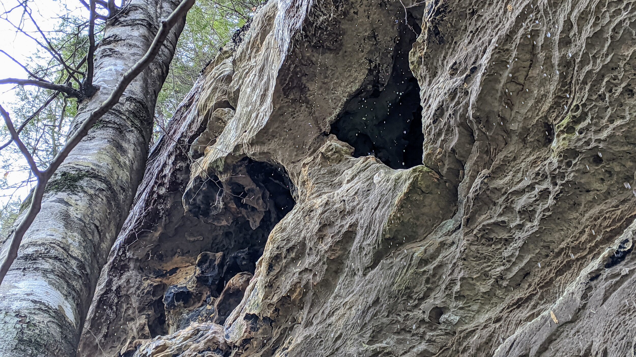
Trail navigation. This is easily navigated, but as a climbing area, destinations are climbing walls, not waterfalls or arches. Begin by leaving the trailhead, taking the fork to the south trail system and begin descending into Muir Valley. Reach a staircase and midway down, take a right toward Land Before Time. Continue until reaching Liz’s Arch. Retrace your steps and turn right before the staircase upon which you arrived to a connector trail downhill until reaching the footbridge above the creek. Cross the bridge and turn right toward Bruise Brothers. Continue past Bruise Brothers and reach Horseshoe Falls. Retrace your steps to the east of the footbridge and continue toward Washboard Wall. You’ll come to a creek just before signs to Washboard Wall. Go along the creek until the trail peters out and continue the rest of the way up the creekbed until reaching Joe Ponder Double Falls. Just short of the falls, go right and hug the boulder before seeing the falls in their full. Retrace your steps and crossover the footbridge, turning right to follow the emergency access road north. Continue until reaching the sign for Persepolis. Turn left here and make the steep ascent, following the trail and cairns to reach Nellie’s Falls. Return to the emergency access road and make a right at the sign for the Parking Lot. Return to the trailhead.
Best in Winter and Spring. Kentucky’s waterfalls are best during wet season from Winter through Spring - a.k.a. waterfall season. Ideally, come when the ground is wet and within a day or two of the last substantial rain or snow. Also, waterfalls are magnificent after a long cold spell with several days of temperatures below freezing.
CAUTION - Poisonous snakes. Copperheads and timber rattlesnakes are the most common poisonous snakes in the area. Stay alert, as snakes are commonly found taking in the warmth of the trail. Give them a wide berth or wait for them to move off the trail.
CAUTION - Bears. Black bears are growing in number throughout Daniel Boone National Forest. Be sure to follow bear safety precautions. [Be Bear Aware by US Forest Service]