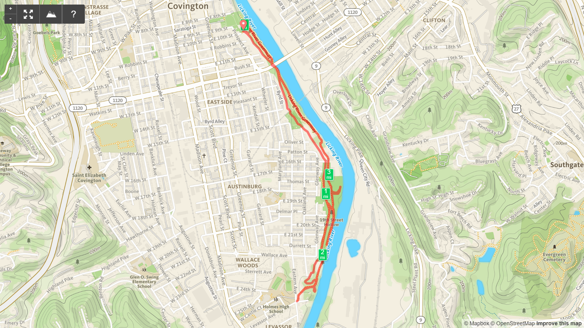
Licking River Greenway Loop
/
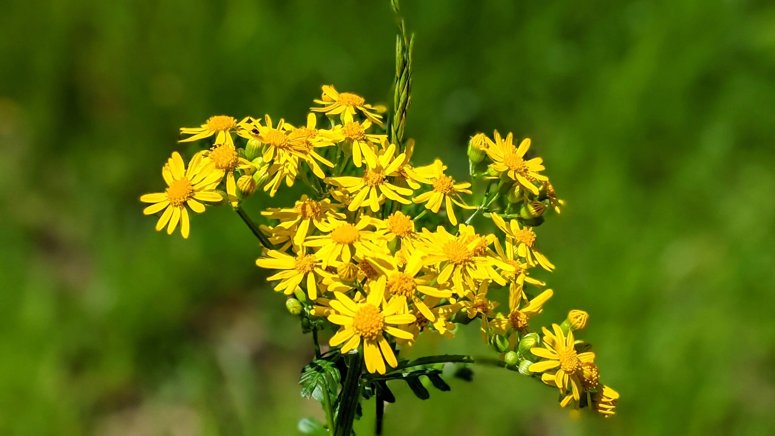
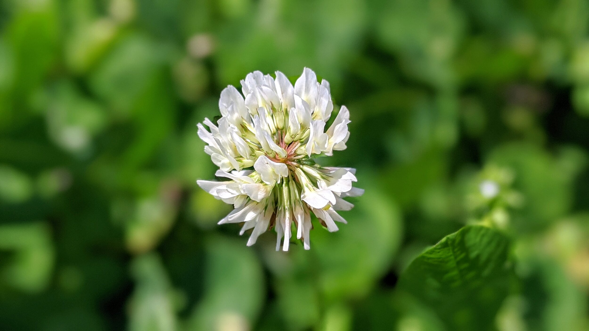
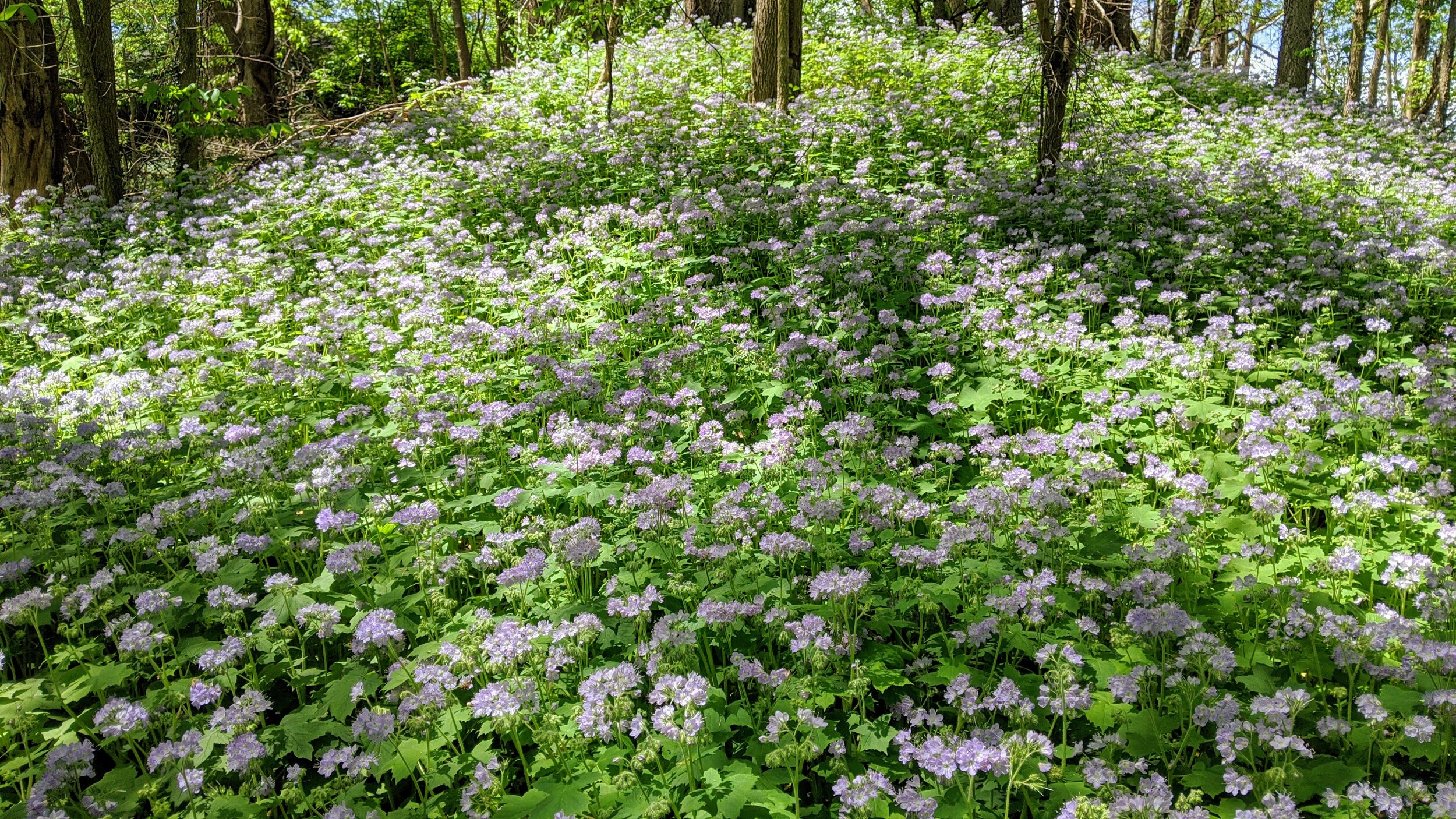
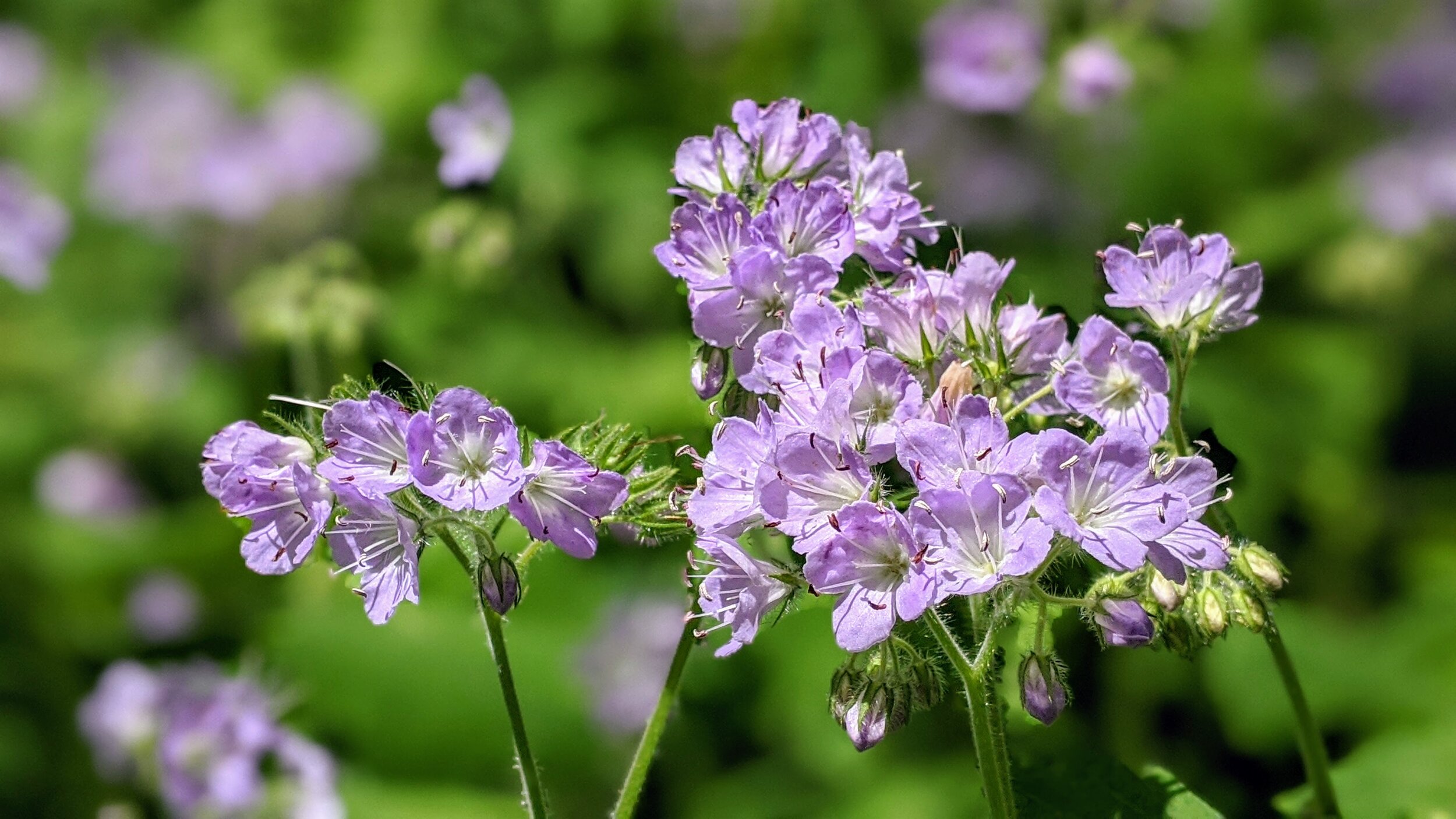
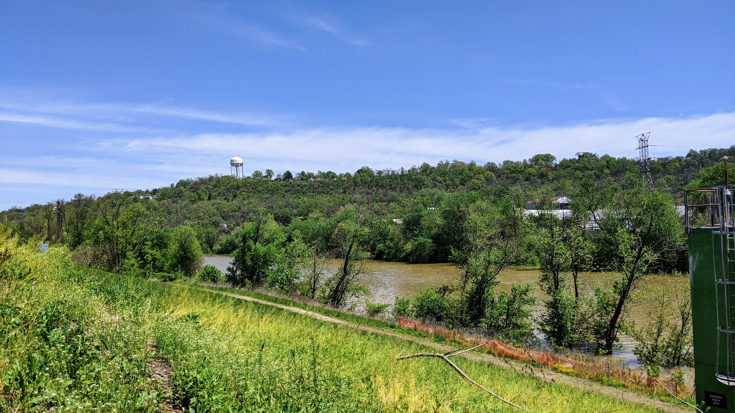
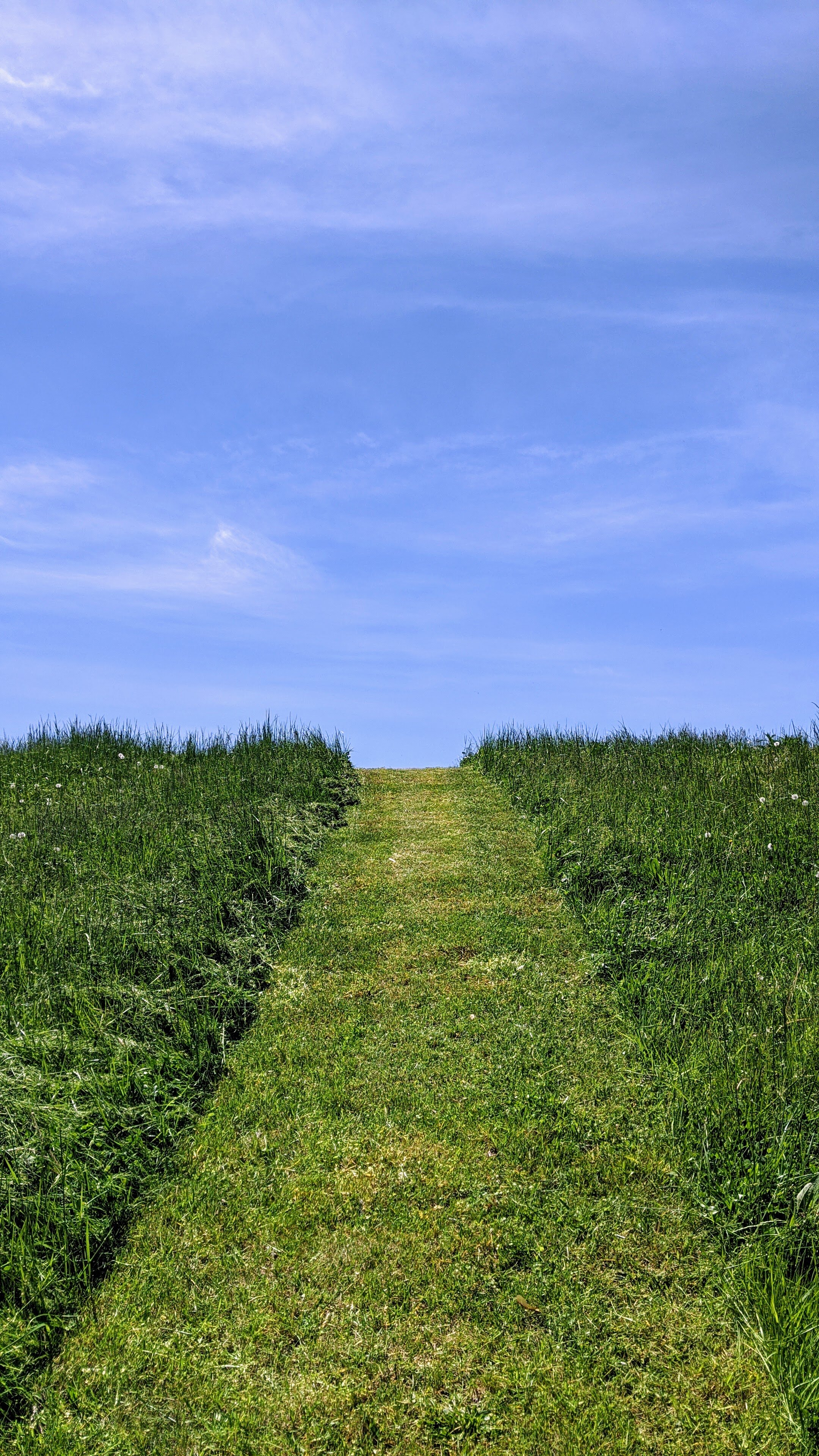
Overview. This is a nice, easy loop along the western banks of the Licking River in Covington. The portion on the flood wall is mostly paved with dirt and gravel on the trail section closest to the river. On this day, I enjoyed a massive patch of wildflowers at the trail’s southern end along the river. It was beautiful!
Route Type | Loop
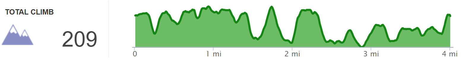
Total Distance | 4 miles
Overall Difficulty | Easy with Short Climbs
Map of Licking River Greenway
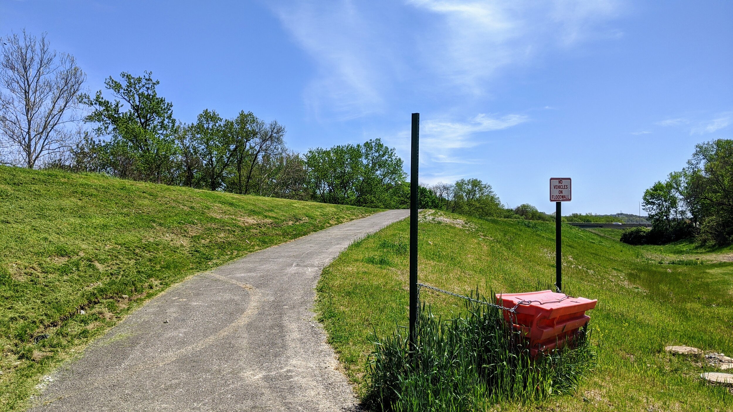
Trailhead. I hiked from the northern end at Randolph Park’s picnic shelter where there is ample parking available near the basketball courts and along the streets. [map]
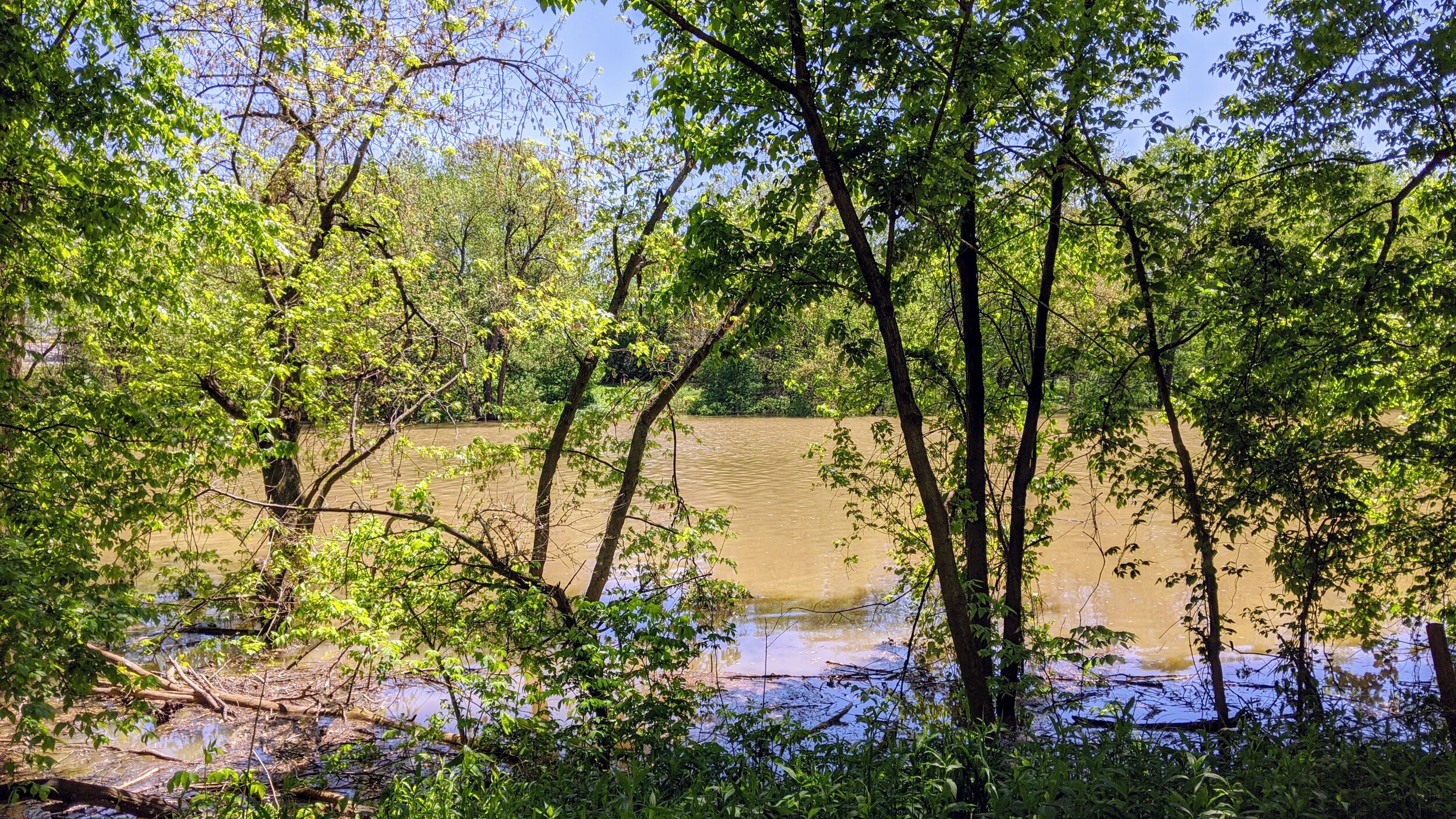
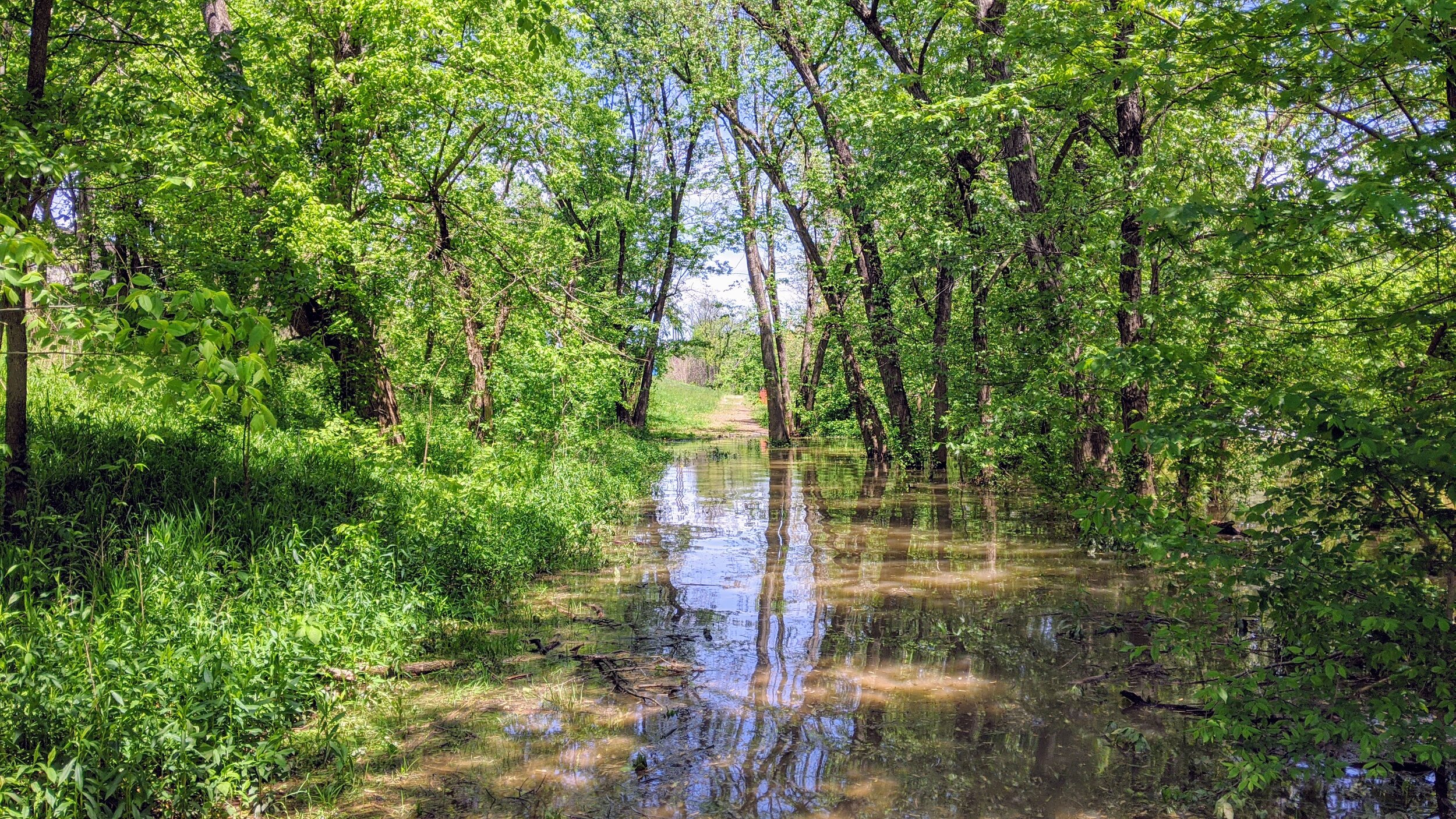
Trail navigation. Start by moving up the backside of the flood wall on pavement and continue along the wall until reaching a grassy section with concrete wall on the west (right). You’ll reach a small building where a trail moves down to your left toward the river. Turn east (left) here. Once down to the dirt/mud section, go right to enjoy the patch of wildflowers pictured below. Turnaround and head north on the trail that becomes gravel. Some sections may be flooded in higher water - just move up the flood wall to go around. Continue back to just past where you started, but below the wall before finding a mowed path to return to your car.
CAUTION - Flooding. As a river trail, there will be flooding from time to time, so just be aware. If flooding is extensive, stay up top on the paved flood wall or head over to nearby Devou Park for a hike.
CAUTION - Homeless Camps. There are a number of homeless camps - perhaps a dozen or so. Give them space, as this is their home, and if you aren’t comfortable being around homeless folks, skip the hike. The people I came across were friendly or kept to themselves. Also, a number of these camps were all-pro level that many campers I’ve seen would do well to mimic.